3/25/19 UPDATE:
This ride is only a few days away! Looking forward to riding bikes and sleeping outside! Here are a few key updates for those making the trip:
- WEATHER: The forecast calls for a significant chance of rain all week leading up to departure. Johnson Creek Road has the potential to get very muddy if it is saturated. This portion of the route should be avoided if significant wet conditions are present. The heavy clay mud will foul all manner of moving parts and could create a dangerous situation. Most of the other dirt roads will be fine with some added moisture – they’re well-graveled with porous material, drain well and shouldn’t get muddy. Here’s a link to an alternate version of the route that avoids Johnson Creek: https://ridewithgps.com/routes/29560824 This option adds around 10 additional miles and a couple of mid-size climbs, so be sure to allow extra time for your trip over the hill if we have a rainy week. The wet weather is forecast to move out late in the week (sunny and 60 on Saturday!) but it wouldn’t be a bad idea to pack a tarp if you have one to help create some sheltered space for cooking and hanging out in camp.
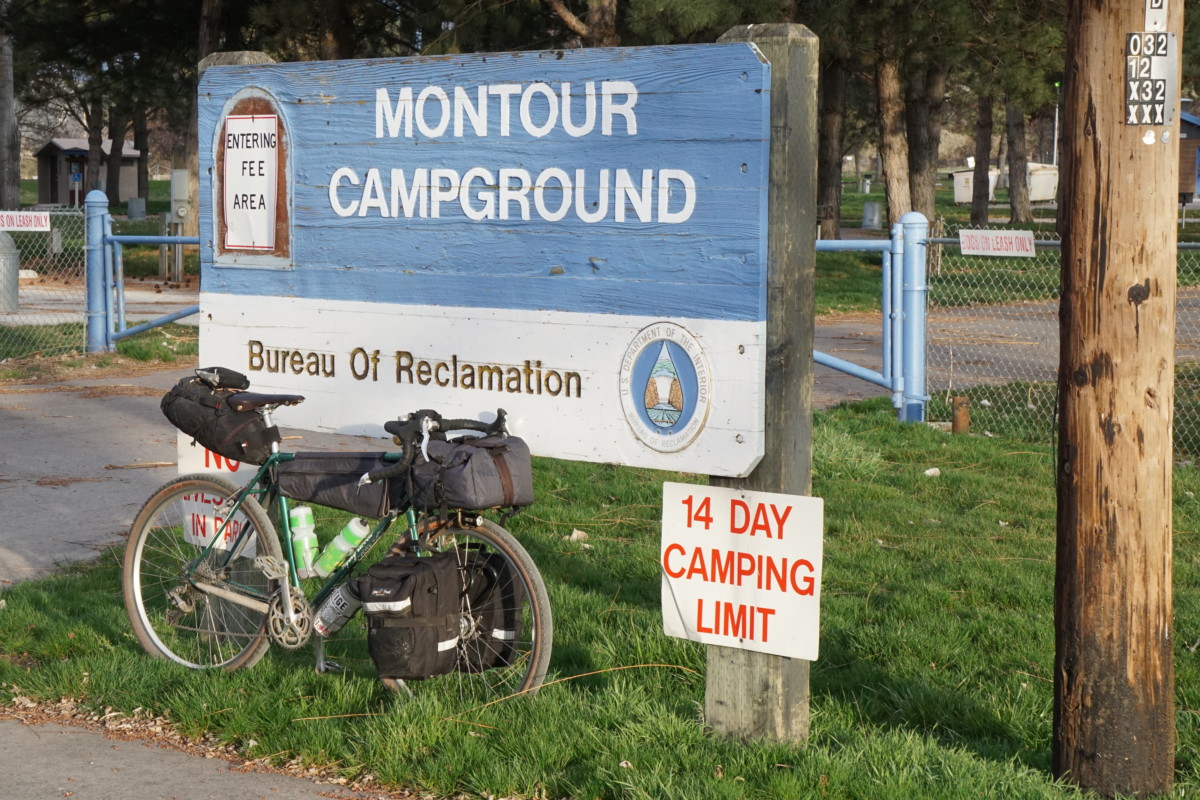
- CAMPING: The folks at the Bureau of Reclamation gave us the all-clear to camp at Montour but there are a couple of things to keep in mind if we want to be welcomed in the future. Please be respectful of nearby residents and KEEP NOISE LEVELS DOWN in the campground, especially in the evening. There are other places to go if you want to get rowdy. The land managers typically send groups (Boy Scout troops, etc.) elsewhere when Montour is closed to provide peace and quiet for the folks who live adjacent to the campground. Also, let’s leave the place cleaner than we found it. Be prepared to spend a few minutes picking up trash, sticks, or other debris. There is a dumpster on site to deposit refuse. Leave No Trace, y’all!
3/7/19
Spring is nigh here in the City of Trees! Time to head for the hills on our first o’nighter of the year – March 29-31st! Join us for a challenging climb out of the Treasure Valley on a mix of pavement and dirt followed by an unmaintained dirt road descent to the banks of the Payette. Nestled in the Sweet Valley, the Montour WMA campground will be our destination. This is one of our favorite overnight trips from town and has become something of a springtime tradition. The route is great for new bike travelers but still offers enough of a challenge to keep the experienced on their toes. Longer route options also abound for those looking for more miles. All people and bikes are welcome! However, some people and bikes will have more fun than others!
Bike Selection
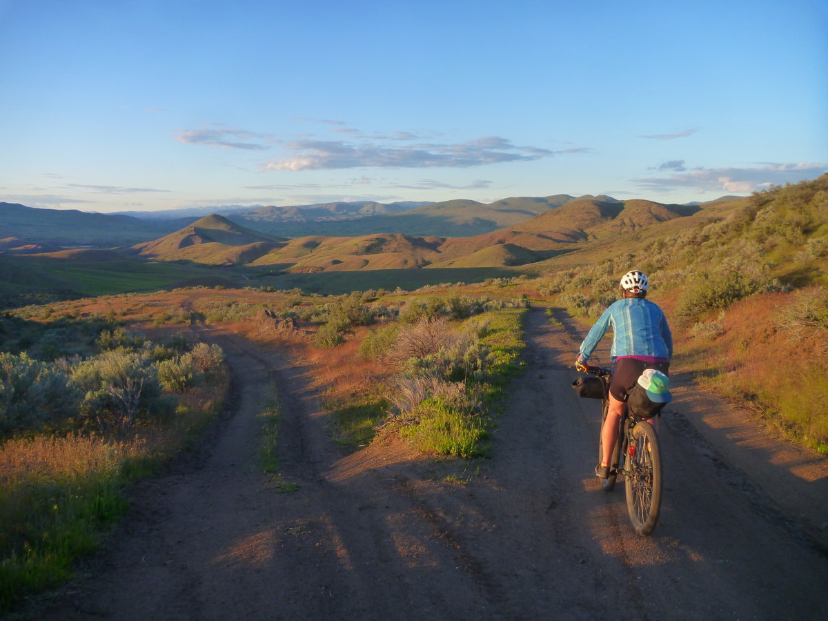
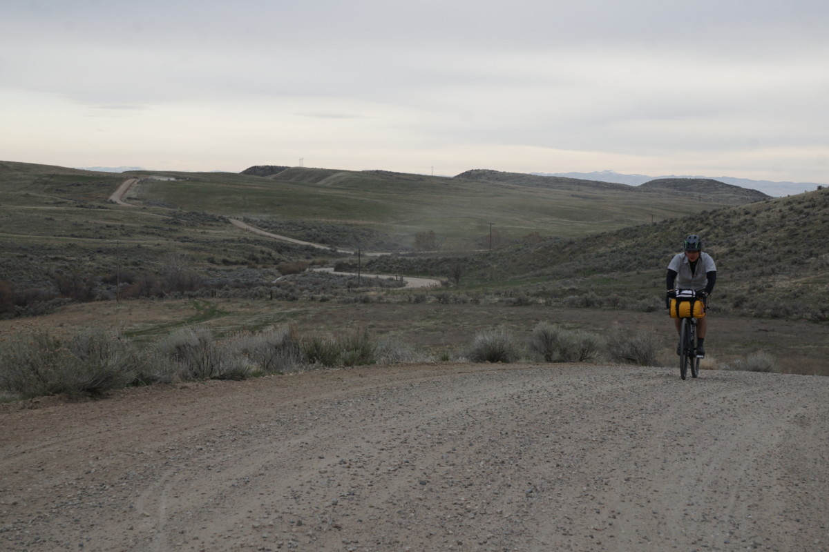
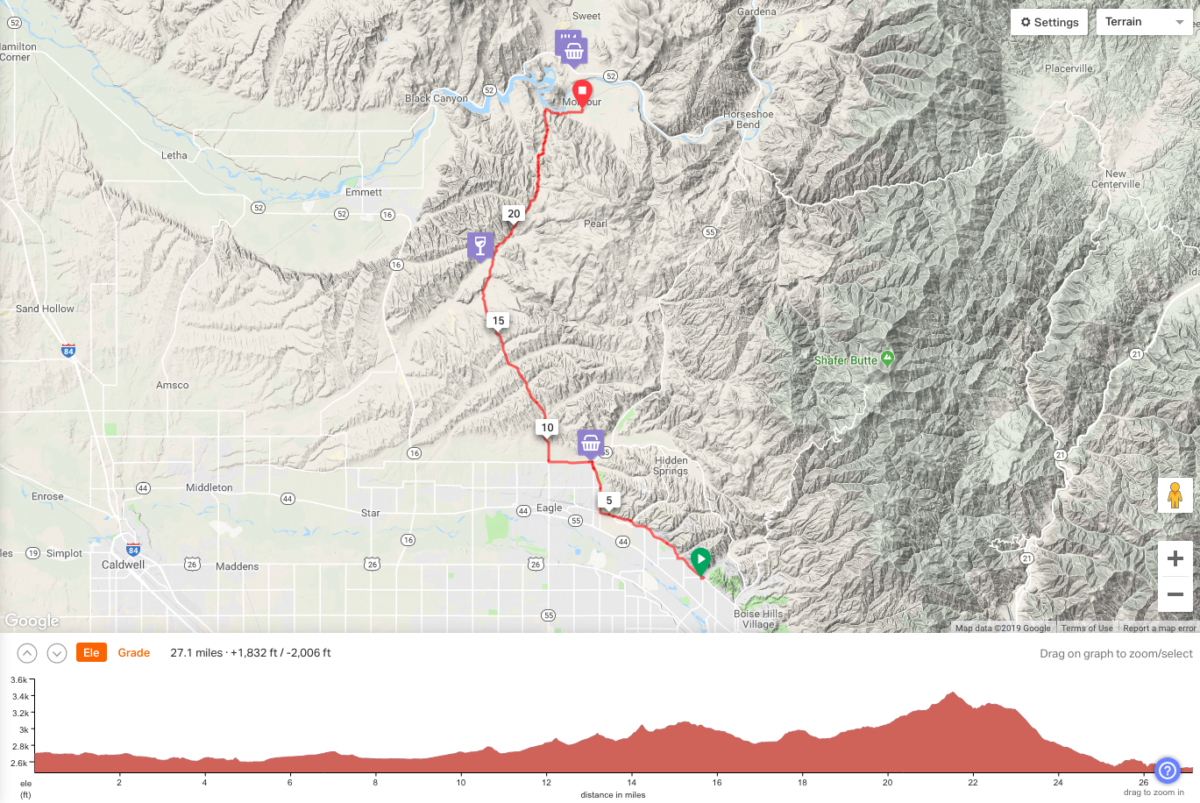
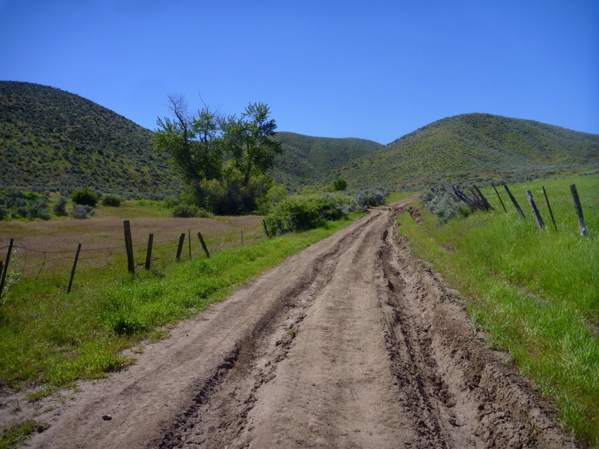
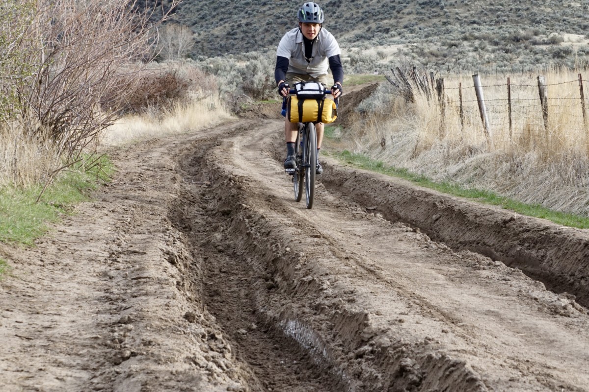
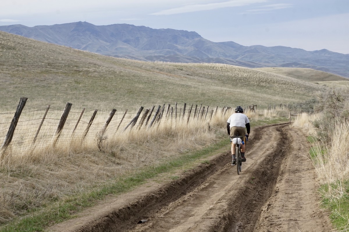
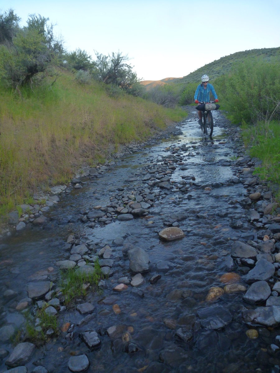
Any sturdy bikepacking/dirt touring bike will handle the terrain just fine. Wider tires and low gears are highly recommended. Plus-tired rigs or suspended MTBs will be overkill for much of the route but will certainly make the descent more fun! Allroad or cyclocross bikes (similar to Zach’s ride in the below photo) will also get you by if you pack light. Variable road conditions can make life difficult if you’re under-tired, overgeared and overloaded. The climbs over the Eagle foothills are steep in spots and the Johnson Creek descent can be pretty dodgy with deep ruts and stream overflow (see photos) but this is definitely one of the easier, more accessible overnight trips from Boise. Just enough challenge to be satisfying! Distance from downtown/north Boise will be around 30 miles and less than 2,000ft of climbing via our route. 3/25/19 UPDATE: See WEATHER notes above!
Take Note! This is not a bike event! This is a self-supported, weekend bike ride with a group of friends. We are offering a route suggestion, some potentially useful (or potentially inaccurate) information and nothing more. All riders are responsible for their own safety and enjoyment, should come prepared to be 100% self-sufficient and have their own self-rescue or bailout plans in place. Do not count on cell phone service. That said, riding bikes is fun, overnight rides are even more fun and both are best when shared. We welcome any and all riders who want to join in for any portion of the weekend’s journey!
Rides will depart from Bike Touring News HQ at:
- 4:00pm Friday, March 29 (Shop CLOSING EARLY!)
- 11:00am Saturday, March 30
- Here’s the route we’re likely to follow: https://ridewithgps.com/routes/29430331
Departure Notes
No need to register, sign up or RSVP. Just show up ready to ride! Times above are departure times, so please arrive a few minutes early if you need to make final preparations before rolling out. The shop will close at 4pm for Friday’s departure, so we will not be available for last minute purchases on Saturday. Plan ahead and prepare!
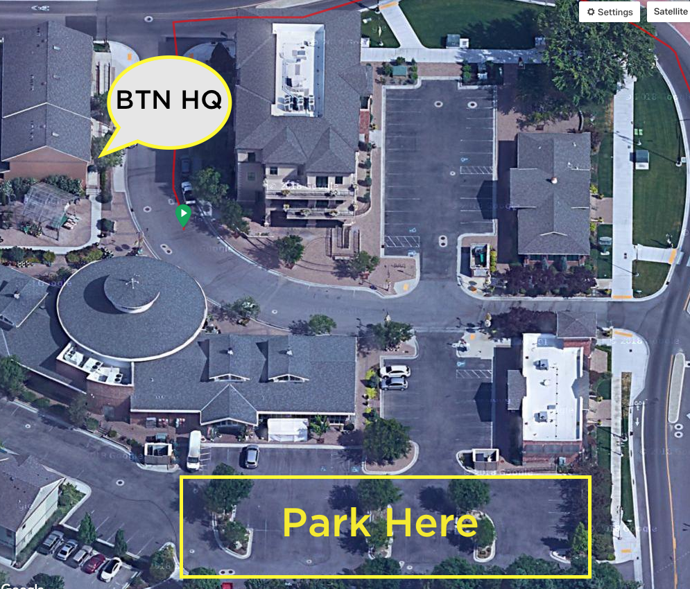
If you’re planning to leave a vehicle overnight, please park in the main parking lot off 36th Street rather than the parallel parking spaces along Garden Center Way. Better yet, ride your bike to the start! See parking lot map below:
Camping
The Montour campground will still be closed for the season but toilets have been open and water flowing in springs past. No promises! If the campground is open, the fee for tent camping in the grassy area at back (east) of the campground is $3/night. If the campground is closed there is no required payment but we like to try and leave a few bucks in the pay slot to (hopefully) help maintain this little gem of a campground. We’ll also do a little cleanup and leave the place cleaner than we found it. 3/25/19 UPDATE: See CAMPING notes up top!
Services
With the exception of the Chevron at the corner of Beacon Light and Hwy 55, there are no services on the route. Bring plenty of water to get you through the exposed, shadeless roads over the Eagle foothills, especially if the sun is bright and temperatures high. Johnson Creek will be a (mostly) reliable water source for filtering but at that point you’re nearly to the campground.
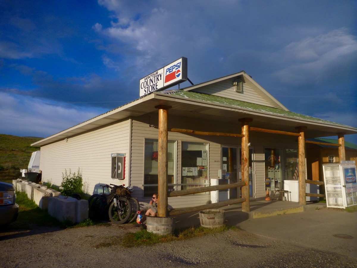
After arriving at Montour, you’ve got a handful of options for food and beverages. The Montour Country Store is about 2.5 miles northbound with snacks, beverages and other convenience store goods. The Triangle Restaurant and bar is equidistant, serving up a diverse menu with a small bar to wet your whistle. The Ola Inn Cafe lies 19 miles north via the nicely paved and rolling highway. Horseshoe Bend to the east and Emmett to the west each have a range of stores, restaurants, etc. Hours may vary at each of these locations, so do your homework if you’re relying heavily on any of these services. There are plenty more paved and unpaved roads to explore in the Sweet/Ola Valley, so folks looking for a longer ride or more miles can have their fill.
Route Notes
The descent down the Johnson Creek road hasn’t received any maintenance (that we know of) at least since 2017, maybe longer. It is likely to be in poor shape and may not be 100% rideable. Muddy conditions may require a reroute but we expect mostly dry conditions. 3/25/19 UPDATE: See WEATHER notes up top! Ruts will likely be quite deep with rideable lines in between. Use caution and don’t risk a nasty crash! There is one extended section where the creek has overflowed the road. This mile-ish stretch will likely be running with at least a couple inches of water and is paved with round, loose babyhead rocks. Be prepared to walk/carry your bike if the going gets rough along this streambed section. See photos and captions below for illustration of the conditions.
We’re looking forward to this first overnighter of the season and many more to come in 2019! Questions? Concerns? Stop by the shop, call or email. Can’t wait to see who shows up to camp!
208-806-2111 | [email protected]
@biketouringnews | #bikeovernights #rideloaded #aprilfoolserrand
