Categories
Idaho Our Trips

Bike Travel Weekend: Featherville Freakout, June 1-3

5/25/18 UPDATE:  We’ve got some AMAZING PRIZES from Tenkara USA, DRAGONtail Tenkara, Sinewave Cycles, Revelate Designs, Surly, WTB, Quality Bicycle Products and the Adventure Cycling Association to give away!  You could be a winner!  All you need to do is follow our social media channels (Facebook, Instagram, Twitter), sign up for our email mailing list and keep an eye out for instructions in GIVEAWAY posts!  You don’t have to attend the Featherville Freakout or participate in Bike Travel Weekend to win but it will definitely help your chances!

We’ve also added a handful of new hosted rides to the Featherville Freakout!  There are options for all ages and abilities!  Scroll down for the most current list.  Don’t see a ride that suits you and your crew?  Host your own!

}}}—————————————–>

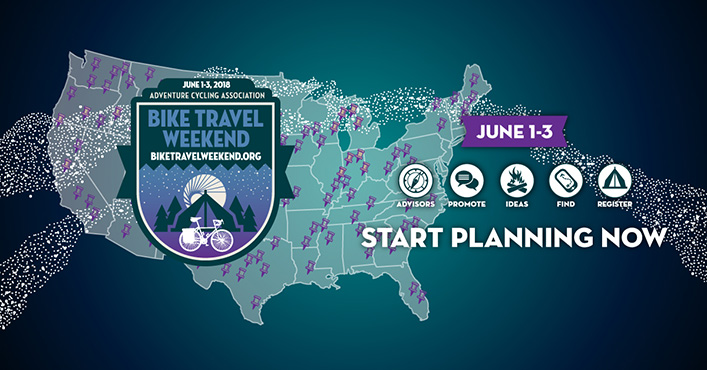
Bike Travel Weekend 2018 is the first weekend in June and coming up fast!  This will be the third year that the Adventure Cycling Association has organized this worldwide event, so what better opportunity to strike out on your first overnight trip or help get your friends hooked on bike travel!

We’re really excited about this event and the chance to share the excitement and camaraderie of self-supported riding with friends!  In honor of this once-a-year event, Bike Touring News HQ will be CLOSED on Friday, June 1!

We hope you’ll join us for the very first Featherville Freakout, June 1-3!  We want this to be an opportunity for riders of all ages and abilities to get out and sample a little slice of the spectacular riding here in Idaho, so rather than prescribing a route and setting the agenda we’re nailing down a meetup point and encouraging folks to plan their own adventures.  You can organize your own ride, invite your friends and tell us all about it around the campfire on the South Fork of the Boise River!  We’d love to see riders from all across the state come together for a weekend gathering of the bike travel tribe!  Here’s how it’s gonna go down:

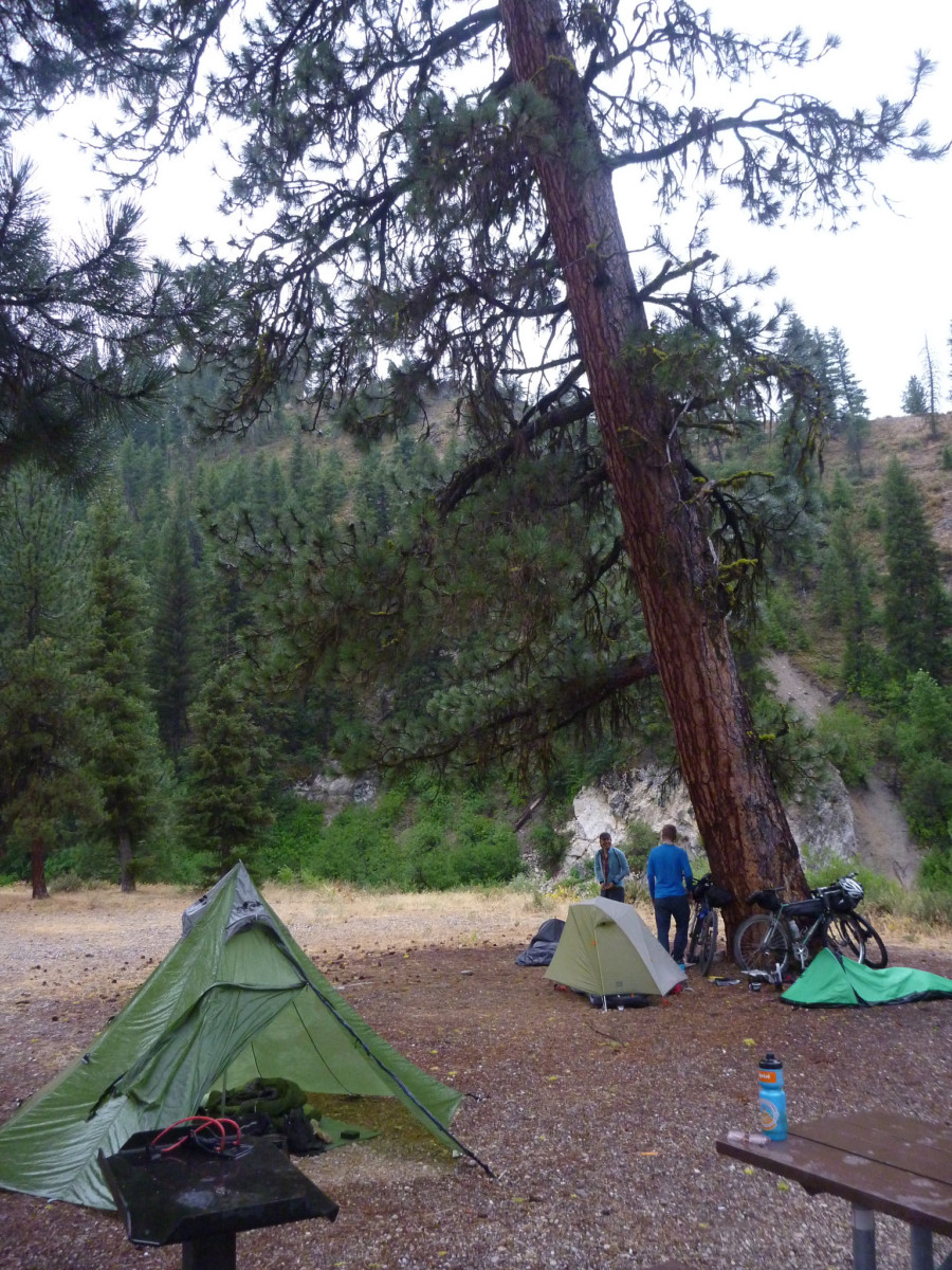
Chapparal CG, back in July 2014

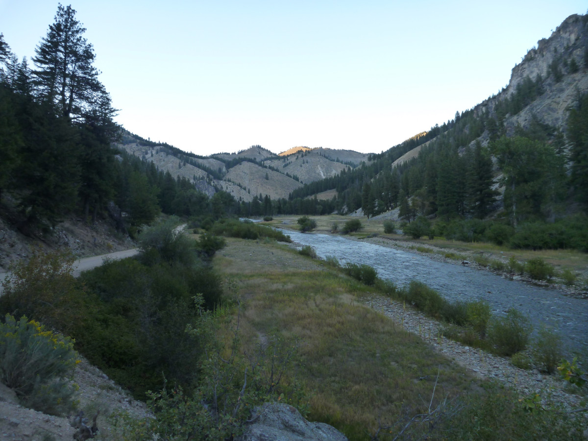
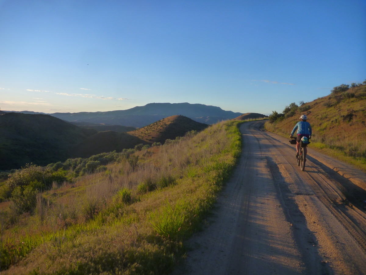
Our destination will be the Chapparal campground on the South Fork of the Boise – just upstream from the town of Featherville – for Friday and Saturday nights.  Nestled in the hills just south of the mighty Sawtooth Mountains, this stretch of road will be familiar to veterans of the Smoke ‘N’ Fire 400 or Idaho Hot Springs MTB Route.  There are ample opportunities for day riding, hiking, fishing, hot spring soaking, barstool rodeo, slingshot biathlon or any other outdoor games you want to play!

Route options to Chaparral could range from the seriously strenuous to super relaxed depending on your style and preference.  Make it as easy or challenging as you want!  No rules, no restrictions.  Just get your crew together, draw some lines on a map and come meet us riverside!

If you want to host your own ride to the Featherville Freakout (and we hope you do), register it with the ACA so that other folks in your area can find it and join in!  You can also register as a private event if you’d rather pick and choose your riding companions.  By registering, you’ll also enter to win a Co-Motion Divide bicycle and Amtrak tickets to Glacier National Park!

Want to let someone else handle the route planning and join in a ride?  Check out the list below.  Click the link to find more information and to register your participation.  You’ll get an sweepstakes entry for your trouble!  You can also contact the ride leader with any questions you might have.


CURRENT RIDE LISTING (updated 5/25/18)


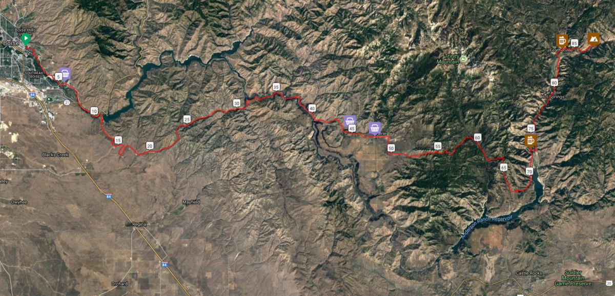
Want to ride from Boise on Friday?  A group will depart Fort Boise/Military Reserve Park (main parking lot between ballfields and Mtn Cove Rd) promptly at 9am and ride to Featherville via this route.   Register your participation here for an entry in the sweepstakes and to add your name to the list of participants across the world.  Here’s a brief description of the ride to whet your appetite!

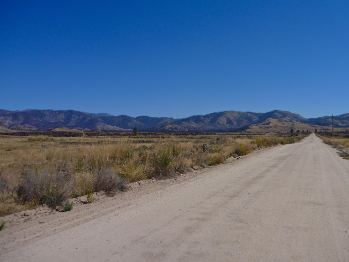
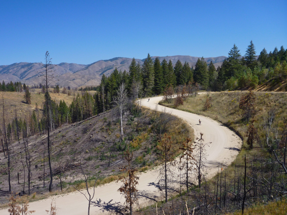
Terrain on the route varies from a nasty hike-a-bike out of Lydle Gulch to smooth pavement near Pine.  Mostly, we’ll be on maintained dirt roads that will vary from smooth and hardpacked to loose, sandy, rocky and/or washboarded.  Any competent dirt touring bike with ~2″ tires will do fine.

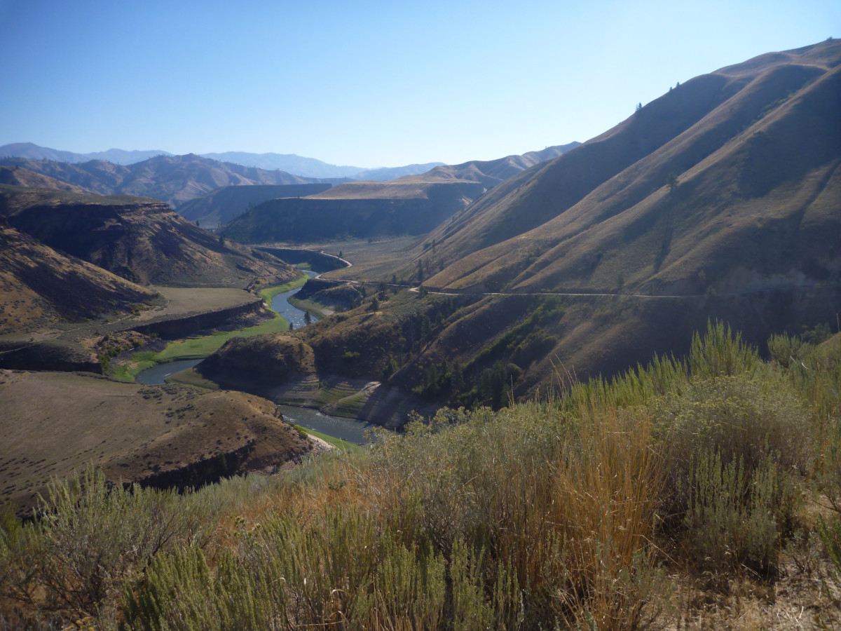
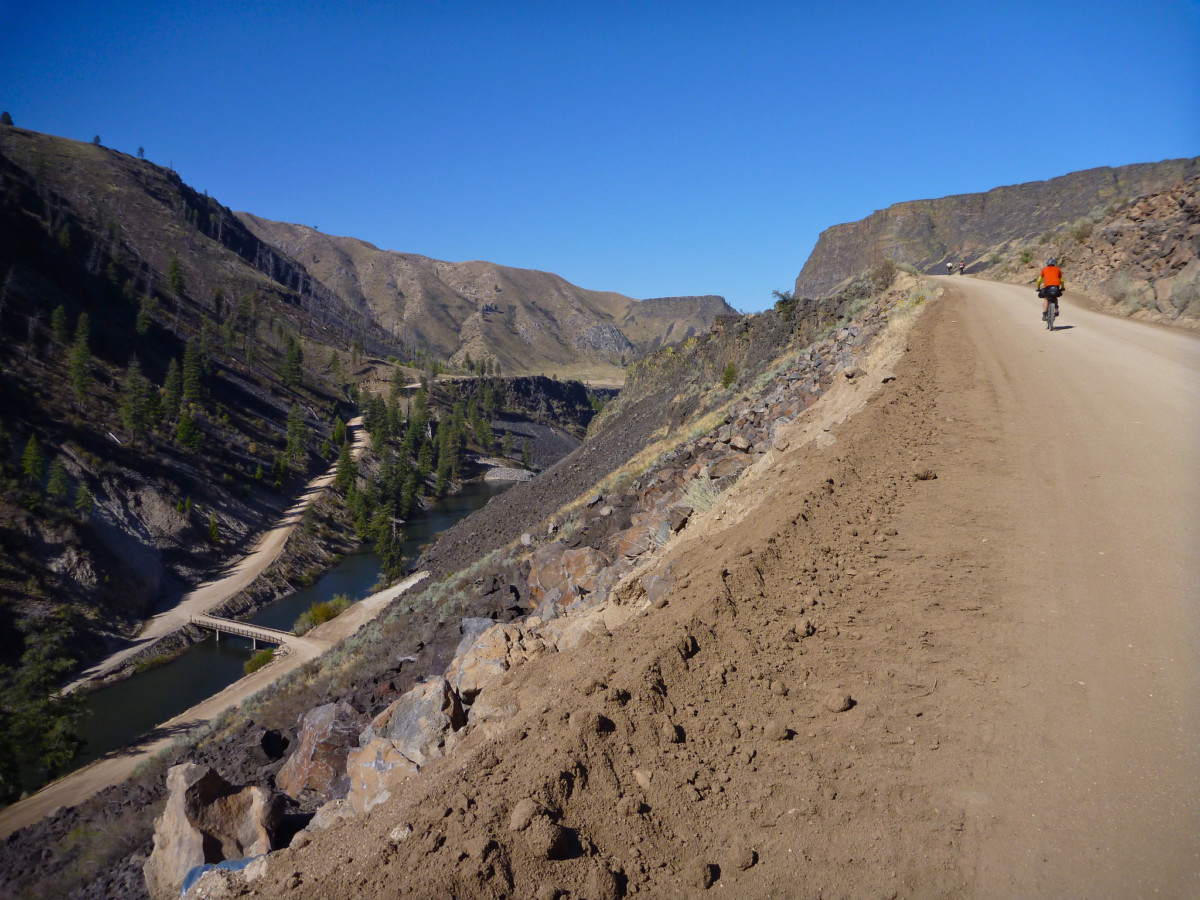
This track (more or less) follows the route of the Smoke ‘N’ Fire 400, taking in a variety of southern Idaho landscapes and a moderate amount of climbing – for Idaho that is.  We’ll roll eastbound out of town through Lydle Gulch to Black’s Creek Road and follow the tailwater of the South Fork through some stunning scenery.

After climbing out of the South Fork, we’ll pass through the town of Prairie and take advantage of resupply options at the Y-Stop and Prairie Store.

We’ll cruise across the open plain before climbing into the hills south of the Trinity Mountains in the Boise National Forest.  Stretch your legs, take in plenty of sustenance and get ready to climb!

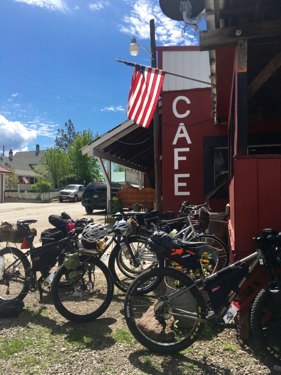
We’ll summit the high point of the ride right around 6,000 feet before descending to the Anderson Ranch Reservoir section of the South Fork.  The route turns back to the north and passes through the town of Pine.  Pine Cafe and Cocktails will tempt us with hot food and cold beverages while the Nitz Pine Store provides convenience store essentials.

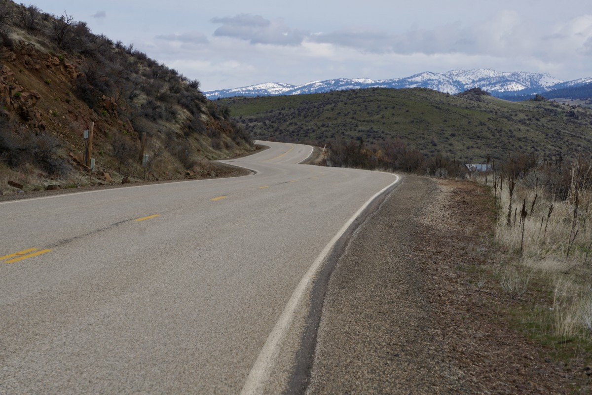
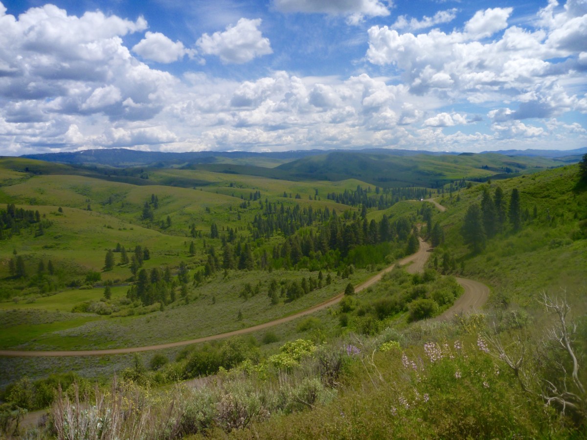
Gracious curves heading down toward Pine

From Pine, we’re in the home stretch!  FR 114 will carry us along the east bank of the South Fork as we climb at a mellow river grade toward Featherville.  12 miles past Pine, we’ll have arrived!

We expect the 87-mile ride will require 7-8 hours of ride time, so a 9am departure should get us into the campground with plenty of time to make camp, prepare food and maybe even get some fishing in before dark.

Saturday will be a free day with ample opportunity for all kinds of outdoor recreation.  We’ll return to Boise on Sunday via the same route or a variation.  If you want to ride with us, don’t forget to register your participation here for an entry in the sweepstakes and to join the ranks of bike travelers across the world!

Regardless of your route choice, we hope you’ll join us and thousands of people across the world for the Featherville Freakout, part of Bike Travel Weekend 2018!  See you on the South Fork!

#rideloaded #feathervillefreakout #biketravelweekend #biketouringnews

Categories
Idaho

Adventures On The Weiser River Trail

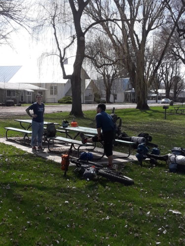
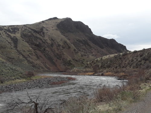
Over the last week in March, me, my boyfriend (Steve) and a friend (Gunning) decided to go on an early season bike packing trip.  Gunning and I rode borrowed bikes as this was our first long bike packing trip.  With 2 trips under his belt, Steve was the “expert” of the crew.  We decided on the Weiser River trail, an 84 mile stretch of gravel and dirt path created from the old train route. It starts just outside of New Meadows, Idaho and follows the Weiser River through forests and canyons, passing through several small towns along the way before ending in the town of Weiser. It is the longest rail trail in Idaho. We all are still in the “invincible” stages of life – 20’s and early 30’s, so we essentially hopped off the couch and set off on the 84 mile trip, originally planned for 3 days. Our butts were still in hibernation from the winter, uncalloused and unprepared.

Day 1:
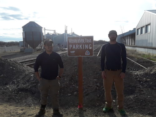
With excitement building, we packed our stuff on Thursday and headed out after work to set our shuttle. Upon reaching Weiser, we realized that the map we got from a trail website just “forgot” to include directions to the end of the trail and overnight parking.  Instead it took us to a residential area.  Parking there sounded a little sketchy so I decided to go to a gas station to ask directions.  (If you get lost, just pull over somewhere and ask directions!)  We got directions to a park/fishing pond that was near the end of the trail.  Lo and behold, there is specific Weiser River Trail parking right at the end of the trail.  Who knew??  I guess that’s how websites suck you into a monthly/yearly subscription – withhold any important information until you pay.

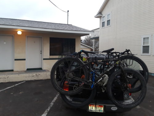
During the first shuttle everyone was in high spirits.  Laughing and joking as we drove, we made up games to play on the trail.  Like 1st person to see a cool bird/animal/lizard etc would win something.  Or the first person to complain about the weather, say they’re cold or tired or admit to forgetting something really important had to buy everyone pie.  As we continued driving we left the lower elevations and got up into the mountains and snow lines.  We were expecting some snow, but not as much as there was.  We were using the same website’s directions to find the “start of the trail,” and we continued driving until it took us to a plowed private road and promptly wanted us to turn down an unplowed road with 2 feet of snow on it.  We passed by a couple of trailheads with all of the access roads unplowed and snowed in.  As it got darker and darker our stress levels started rising.  After the car got stuck in the snow, I was pretty over it.  Camping?  Nope.  Hotel?  Yep.  Day 1 ended in a New Meadows motel with gas station sandwiches for dinner.  So, using the logic that walking the bike while mountain biking is still mountain biking, staying at a hotel while bike packing is still bike packing since we have bikes with us.  Hey, maybe staying in a hotel is still camping, since we have our tents with us too!

Day 2:
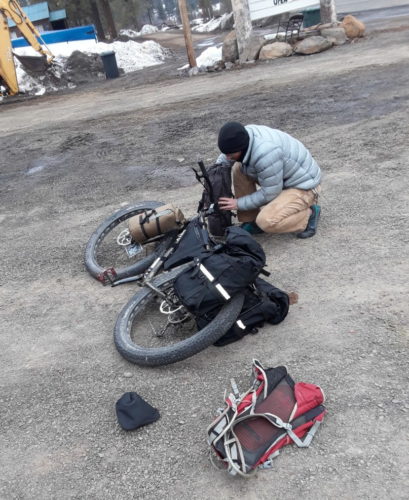
We got up late to start the second day, because as newbies to this experience we completely over-estimated our abilities and under-estimated the conditions.  There was no rush to get started early.  Now, the hotel turned out to be a lot more useful than originally expected.  Not only did they have a detailed pamphlet of the entire trail, including trail heads, but the owner told us where we could park the car since the trailheads were impassable.  Score!  We parked at a restaurant that was still closed for the season and got all our gear ready.  It was still nippy in the morning, a little above freezing.  The excitement kept us warm as we outfitted our bikes and learned how all the gear worked.


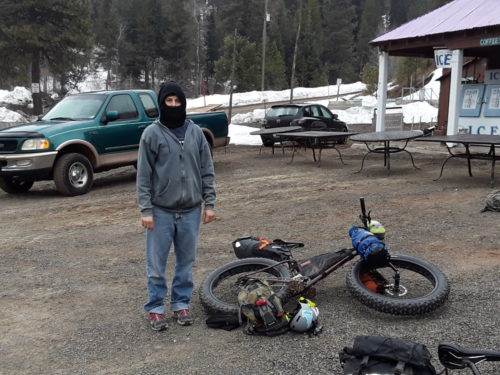
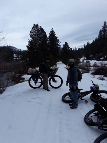
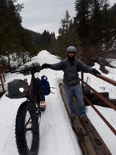
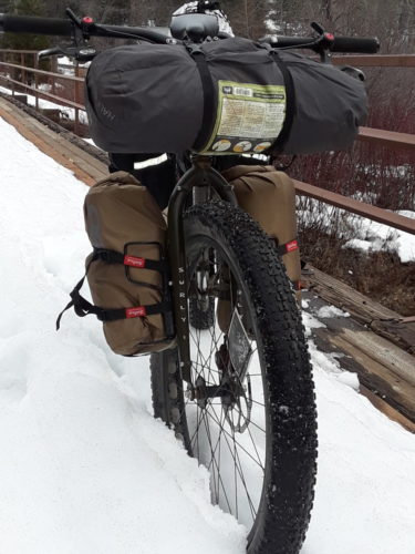
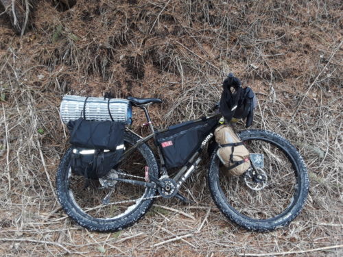
We started out at mile marker 79 and there was at least 2 feet of snow on the trail.  The snow was not packed down at all, such as for snow biking groomed trails.  The trail looked like it hadn’t been used in quite some time.  The 3.8″ fat bike tires on my bike floated on top of the snow.  The guys didn’t have as much luck in the snow with only 3” wide tires and rear-wheel heavy loads.

The struggle at first was a challenge but in a good way. Try to keep your balance, finding the right spot on the trail to ride so your tires remained on top of the snow, body position so the bike wouldn’t skid out from under you. We took photos of each mile marker to show our progress, with Steve (who never takes pictures of anything) becoming our official trip photographer.


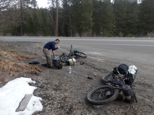
Later in the day. the top layer of frost/ice started to melt, and the snow got more difficult to ride on.  We started walking more than riding, stepping carefully so not fall through the snow. When you fell through, you fell up to your knees deep.  Nobody wore snow boots; I didn’t have waterproof pants on.  Snow got inside your shoes, inside your pants, up your sleeves; it was crusty and granular.  We covered 5 miles in 3 hours until we came to a spot on our map that showed the road was nearby.  The snow was sucking our energy so we decided to make it up to the highway.  The highway was above us about 30 feet, at the top of a very steep tree-lined incline.  Tempers flared as we all struggled to haul loaded bikes, backpacks and panniers up the slippery slope.  We crawled on hands and knees in 2 feet of deep snow.  The bikes got snagged in the trees.  We finally reached the road and went to a pullout to assess the situation, eat something and regroup.

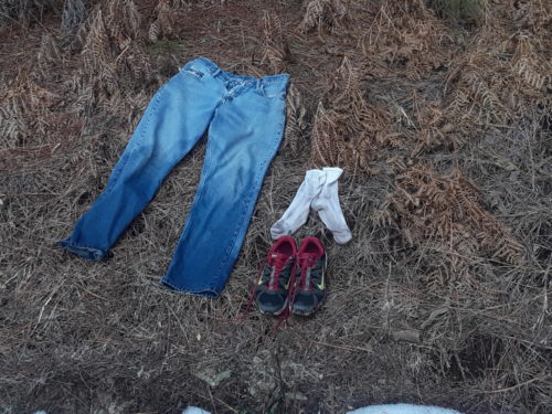
It became a joke that the only Idaho native (me) started this trip wearing cotton socks.  That may be funny, or a camping faux pas, however remember the game about forgetting something really important?  Well, Gunning only brought 1 pair of socks.  For the whole trip.  And they were currently soaking wet.


Highway 95 is not a very bike friendly highway with limited shoulder space and many blind corners.  We slowly rode up the hills and then maxed out on the downhill.  I had never ridden a sustained section of downhill like that before!  We rode single file, Steve in the lead, me in the middle and Gunning on the end.  I got right up on Steve’s back tire and got to experience drafting on a bicycle for the first time!  I didn’t even have to pedal and I would gain on him!  We rode about 8 miles on the highway before we reached a fork in the road where the highway split off to Fruitvale and it was here we rejoined the trail.

This section of the trail was free of snow, fairly straight and flat.  The trees had not started to bloom yet and I bet when they do it would be like riding down a magical secluded path.  It was overcast and there was a slight breeze, warm enough so our wet shoes could dry out a bit.  This section was very near the river and we started seeing wildlife.  I had never seen wild turkeys before and there were flocks of them, big groups walking along the brush at the side of the trail.  Steve claims he saw a coyote, though nobody else did.  The only other person we saw on the trail was a man riding a donkey.  The donkey was skittish of the bikes and we were afraid he might try to trample us.  We dismounted and let him pass.


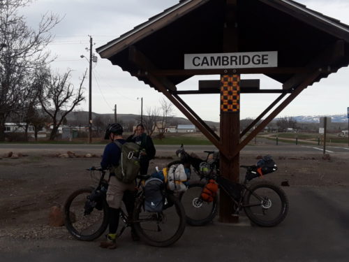
We had a goal of reaching Cambridge, the halfway point where we could camp and soak in a hot spring.  With 20 miles to Cambridge, the morning started to take its toll on me.  The first 10 miles were just uncomfortable and the last 10 were miserable.  All my energy was gone and my back hurt and my butt was on fire!  I was wearing a pair of padded biking shorts and it wasn’t helping much.  The only relief was to stick both my ninja mask and beanie down my pants to create more padding so I could continue to sit on the seat.

In Cambridge it became apparent that nobody actually knew where the camp ground/hot springs was.  I figured Steve knew since he knew the name of it.  Steve figured Gunning knew because he was in charge of camping.  I just showed up for this trip and didn’t contribute much by way of planning.  Asking directions take 2!  We ended up having to backtrack to get there, which added 5 miles to the trip.  5 horrible miles.  At this point I didn’t even care if we made it to the hot springs if we could just stop.  However, we pushed on.  Oh, the welcoming feeling of the hot water after a long day!  We had an hour to soak which was just perfect.  We set up camp in the grass and made dinner of dehydrated backpacking food.  Gunning tried to blow up camp, when somehow he unscrewed the release valve on his propane tank, releasing propane out the top. He had no idea how to close it!

Recap of Day 2:

  • 2 miles highway
  • 5 miles in the snow
  • 8 miles highway
  • 30 miles gravel
  • Total: approximately 45 miles in 10 hours

Day 3:
We woke up earlier than the day before but we didn’t get out of camp until 10am as we didn’t know how long it would take to break camp and re-pack everything.  The first time our butts touched the saddle when it was time to pull out of camp, it was agony!  They weren’t numb anymore and all the feeling came back. We were in high spirits when we left town and rode 10 really nice miles and stopped in a park to rest in Midvale.


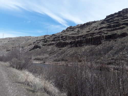
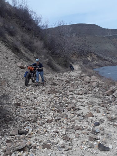
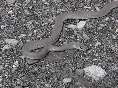
The next 20 miles of trail go away from the road and you are in total seclusion.  Cell phones don’t work and there are no services.  You are in the canyon next to the river.  It was so quiet, no sounds from roads, cars or planes.  The only sound was the river and the occasional bird.  I was glad that it was still partly overcast and early enough in the season that even when the sun was out it wasn’t super hot and the bugs hadn’t woken up for the year yet.  There was no shade on this portion, and since I don’t believe in sunscreen until at least the middle of May, promptly got sun burned.  Gunning had been hauling his fishing pole the entire time and finally was able to use it, catching 1 smallmouth bass.  This section was rocky and we had to walk part of it.  There were also tons of snakes here, thankfully they were all still groggy and not agitated.


Ten miles from the end of the trail we stopped for lunch in the early afternoon.  We had ridden 30 miles so far this day and had the choice of stopping to camp for the night or continue.  I had hit my 30 miles-in-1-day wall and was pretty over it, so I let the guys decide what to do.


Continue on we did.  As with the day before, the last 10 miles of this trip were miserable for me.  At this point we were riding just to get done.  There was very little talking, no jokes, no exploring.  I didn’t even want to stop pedaling, thinking if I did I may not start again.  I was just counting down the mile markers, riding slower and slower as the miles passed.

Now we were near Weiser.  We started to see houses and farms.  Cows ran up to their fences to stare at us like they had never seen a person on a bike before.  Finally, we hit the asphalt section of the trail, which passed through Weiser.  We finished the trail at 730pm, glad to be done.  This was the most riding I had ever done.  The experience was worth it, and gave me a starting point to do better next time!

Recap of day 3:
40 miles in 7.5 hours

Categories
Idaho Our Trips Planning Resources Surly Bikes Touring Bike Tires

Testing the Pack Rat and Road Plus Tires on an April Fool’s Errand

Back in December 2017, Surly announced the release of a new front-loading light touring bike – the Pack Rat.  I was excited about the possibilities from the moment I learned of this bike’s existence and Bike Touring News was one of the first shops to stock them.  In the intervening 4 months, Surly has released no fewer than three more new models – the “Allroad” Midnight Special, a redesign of the Pugsley expedition fatbike and the entry-level dirt touring Bridge Club.

What with all this newness in such a short period, I was a little afraid that the humble Pack Rat might be forgotten.  I had already had favorable impressions from brief rides around town, so I set out to test this bike’s capabilities on a weekend ride.  I wanted to know if the Pack Rat was capable of loaded touring over the mix of terrain we commonly encounter here in Idaho and if this was a platform I could recommend for two-wheeled exploration past the end of the pavement.

In order for this road test to be meaningful, I’m going to need you to hang with me in the Land of Make-Believe for just a little while.  Got your Imagination Cap on?  Good.

I’m going to make a statement that should be treated as fact for the duration of this post.  Ready?

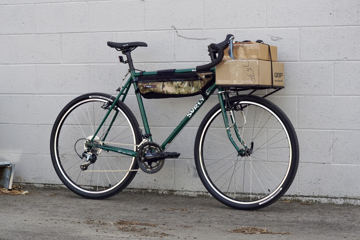
The bike pictured below is a Pack Rat.  Got it?

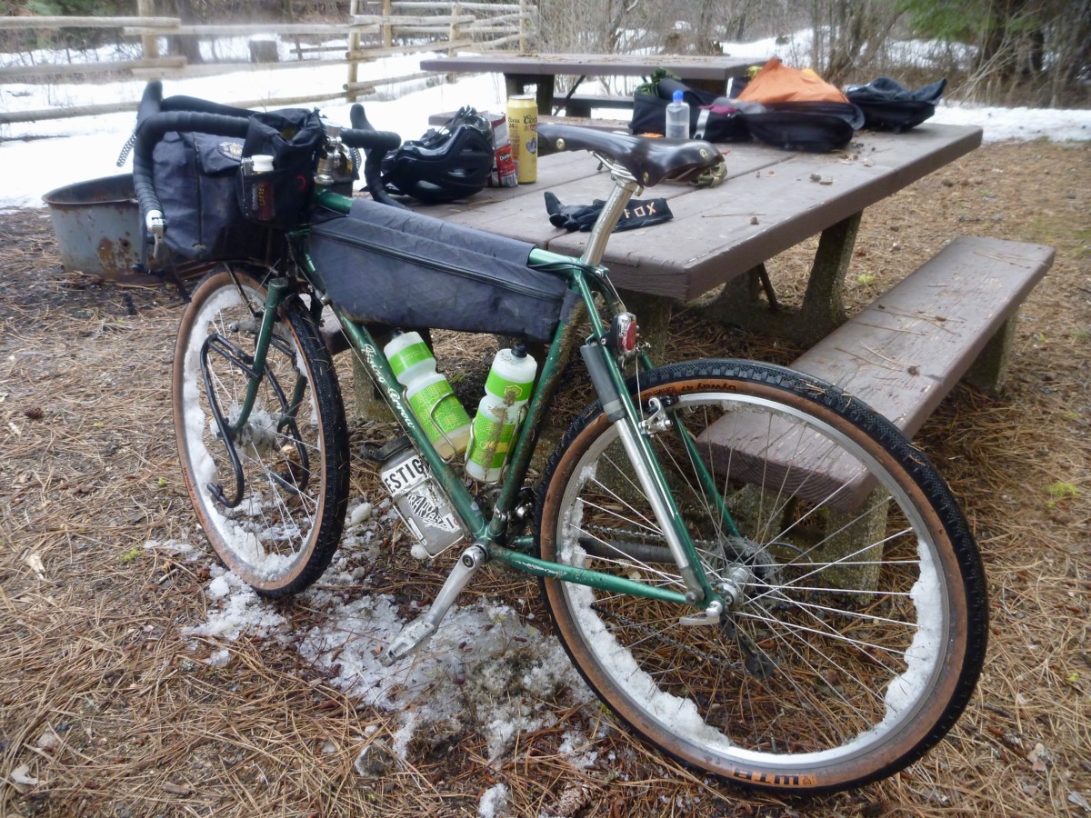
My old war horse of a touring bike – affectionately known as the Rando-Gnar – is nearly identical to the Pack Rat in every way that matters.  Both bikes are designed around 650b wheels with clearance for 47mm “Road Plus” tires.  Both feature geometry optimized for a front load.  Steel frames, drop bars, cantilever brakes, plenty of braze-ons for racks and cages.  Heck, they’re even (almost) the same color.  Nearly every component on the Rando-Gnar would move right over onto a Pack Rat frame.

In order to transform a stock Pack Rat into the bike you see above, all you need to do is mount a set of WTB Byway tires, drop the gearing down a bit and attach whatever racks and bags you deem necessary.  Boom, pow!  You’re ready to pack your gear and hit the road.

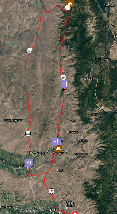
For this exploration of the Pack Rat’s touring capabilities, I mapped out a route that would cover around 160 miles of paved and dirt roads that would vary widely in condition.  I knew of one stretch of unmaintained road that would likely be in very poor condition.  The roads that climbed into the foothills of the Boise and Payette National Forests were more of an unknown quantity as I had not ridden them before.  I had some idea of what to expect and had been assured by a Forest Service Ranger that the roads were free of snow – though I had my doubts.  Most of the remainder consisted of varying qualities of pavement and maintained dirt roads.

I set out from Boise on smooth pavement and re-adjusted to the ride of a loaded bike.  My haphazard packing strategy resulted in a heavier bike than I would have liked but I felt confident that I was well prepared for the unpredictable springtime weather and road conditions.  Rolling tubeless at 42psi, the Byways cruised down the pavement nearly as fast as a good racing tire.  I felt the weight of my load when the road turned uphill but the ride was speedy and efficient overall.

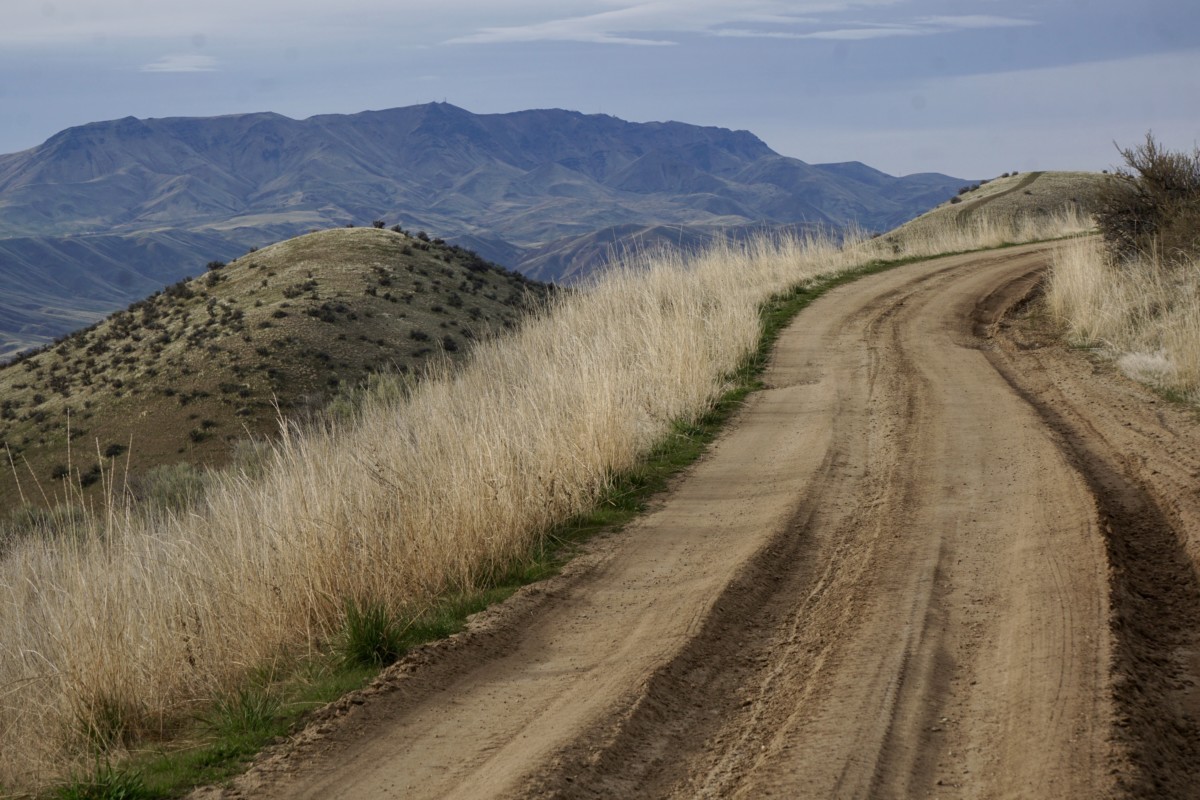
When the road turned to dirt in the rolling foothills north of Eagle, the Pack Rat pressed ahead with aplomb.  Traction was adequate for out-of-the-saddle riding over some of the steeper pitches, though I had to be conscious of my weight distribution to prevent the rear tire from slipping on looser ground.

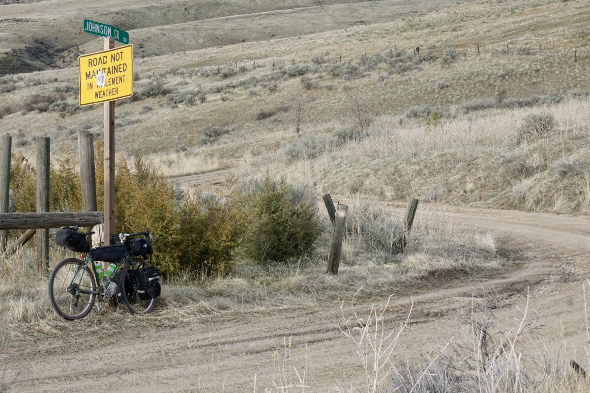
From the saddle at the top of Sand Hollow Road, our route descended the unmaintained Johnson Creek Road to the Payette River.  This road bears deep, rutted scars from heavy truck use in wet conditions and is very eroded in spots.  We rolled in, enjoying the views while keeping to the high ground between the ruts.

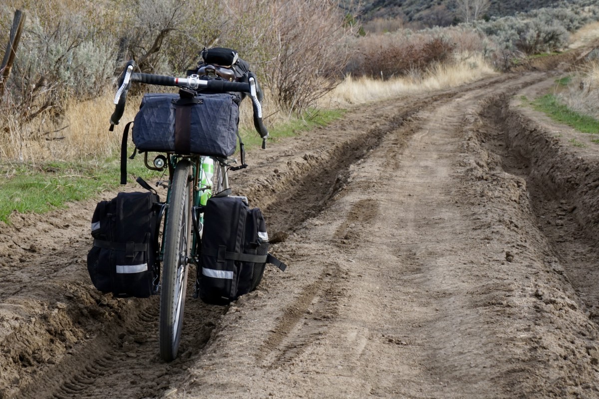
The ruts were nearly three feet deep in spots but the clay was hard and firmly packed, making for predictable traction even at off-camber angles.

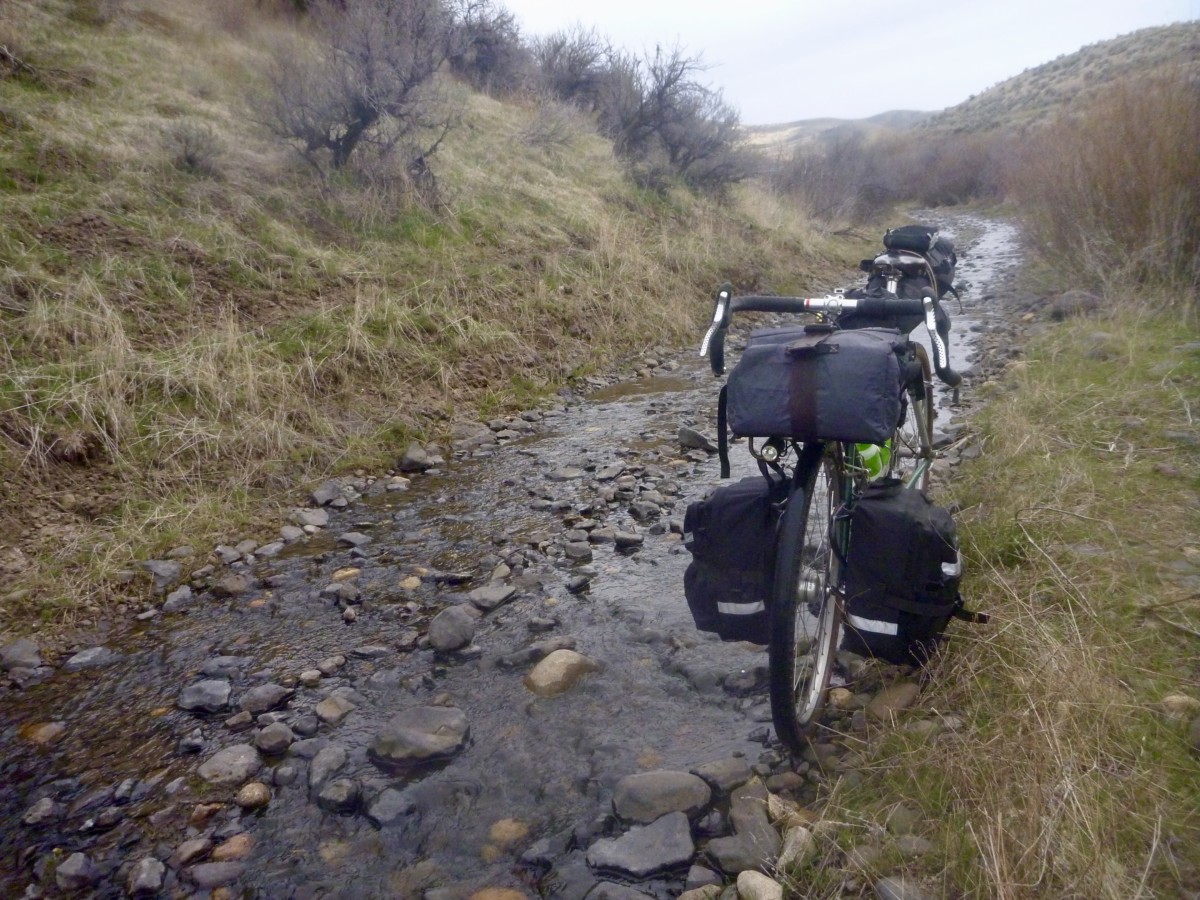
One section of the road has been completely taken over by the creek and presents about a quarter-mile of bumpy riding over loose, slippery river rocks.  I rode cautiously but never felt in danger of bottoming out my tires.

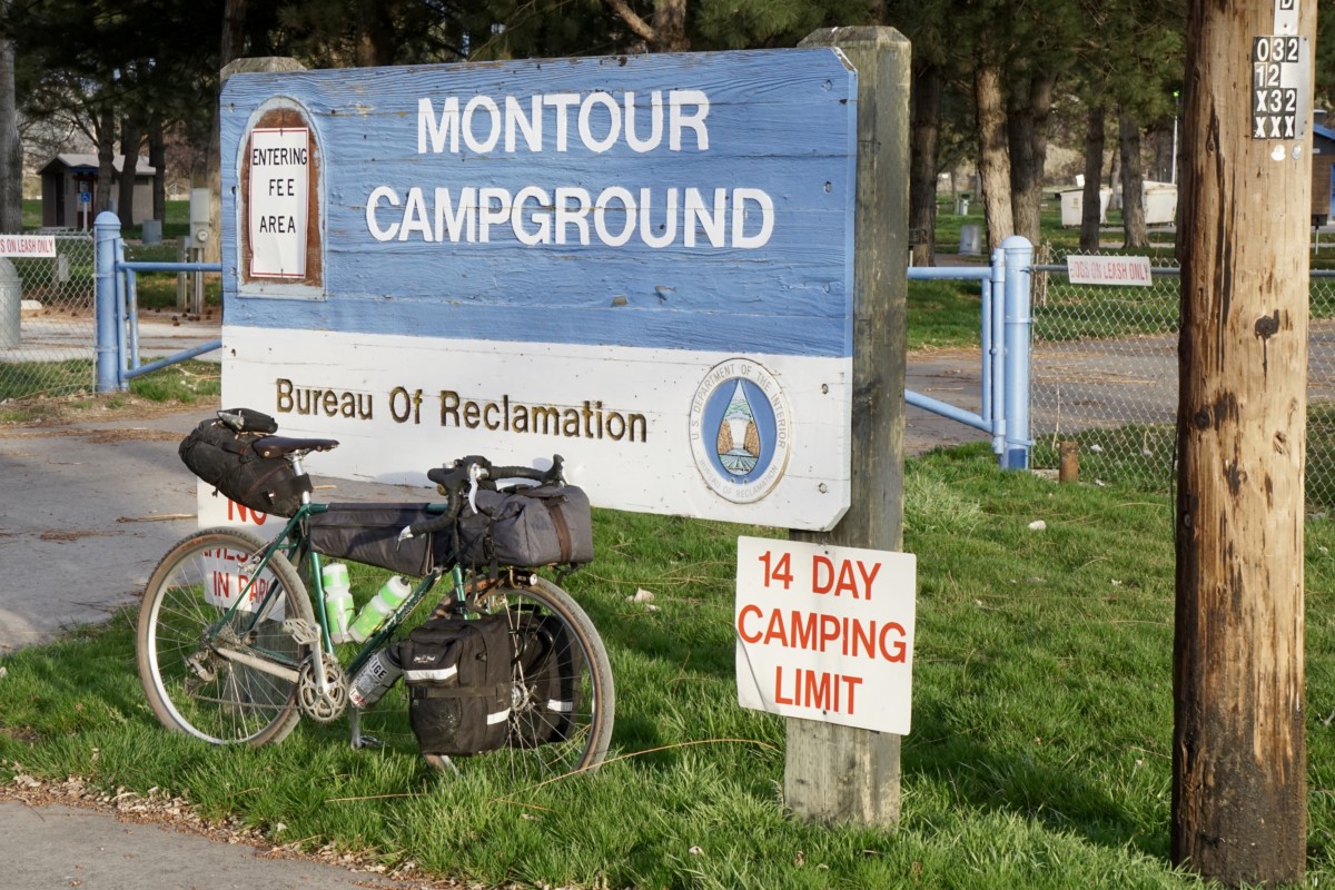
Johnson Creek Road drops into Shalerock Road, a wide and well-maintained dirt road that descends into the Montour Valley.  We basked in the dusky light on the descent to the Montour Campground for the first night’s camp.

After a hearty breakfast at the Triangle Cafe we struck out to the north the next morning, gradually gaining elevation on the paved Sweet/Ola highway.  The snowy mountaintops in the distance made me wonder about the elevation of the snow line.

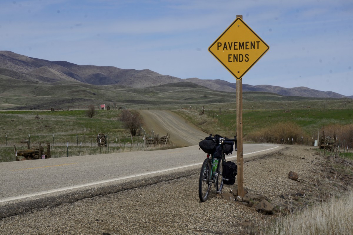
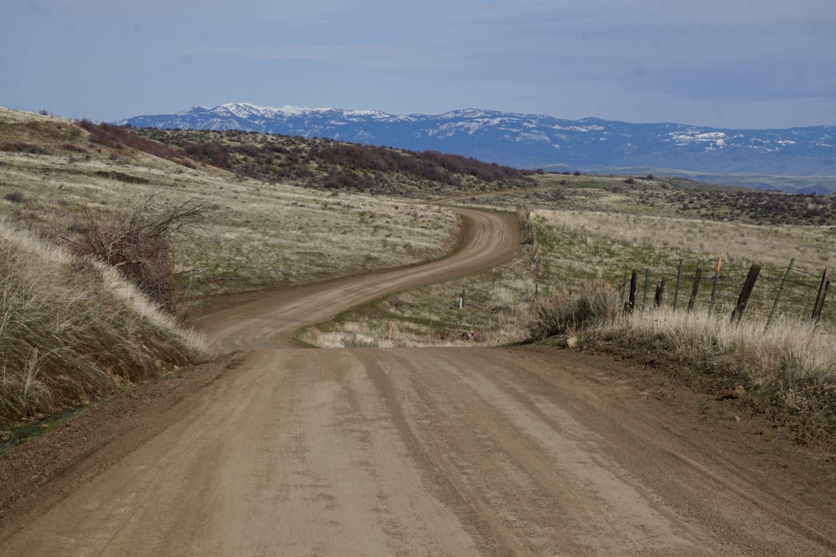
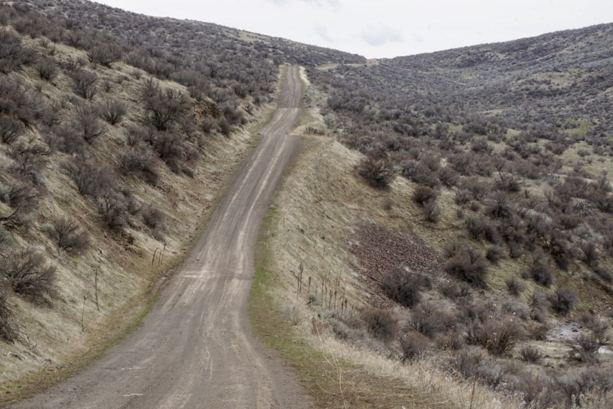
The road turns to dirt a couple of miles past the little town of Ola.  Conditions were excellent – nicely packed clay with a scattering of loose pea to marble-sized gravel.  The Pack Rat carried speed well and cornered confidently.

I was forced to adapt my pedaling rhythm to the lumpy terrain and the Pack Rat responded well – forging forward to crest each roller as I rose out of the saddle.

The Byway tires provided a sufficiently large contact patch and plenty of cushioning to keep the bike composed on the quick descents.  Momentum is everything when pedaling a loaded bike, so it was nice to have the confidence to let the bike run on the short downhills and carry good speed into the next climb.

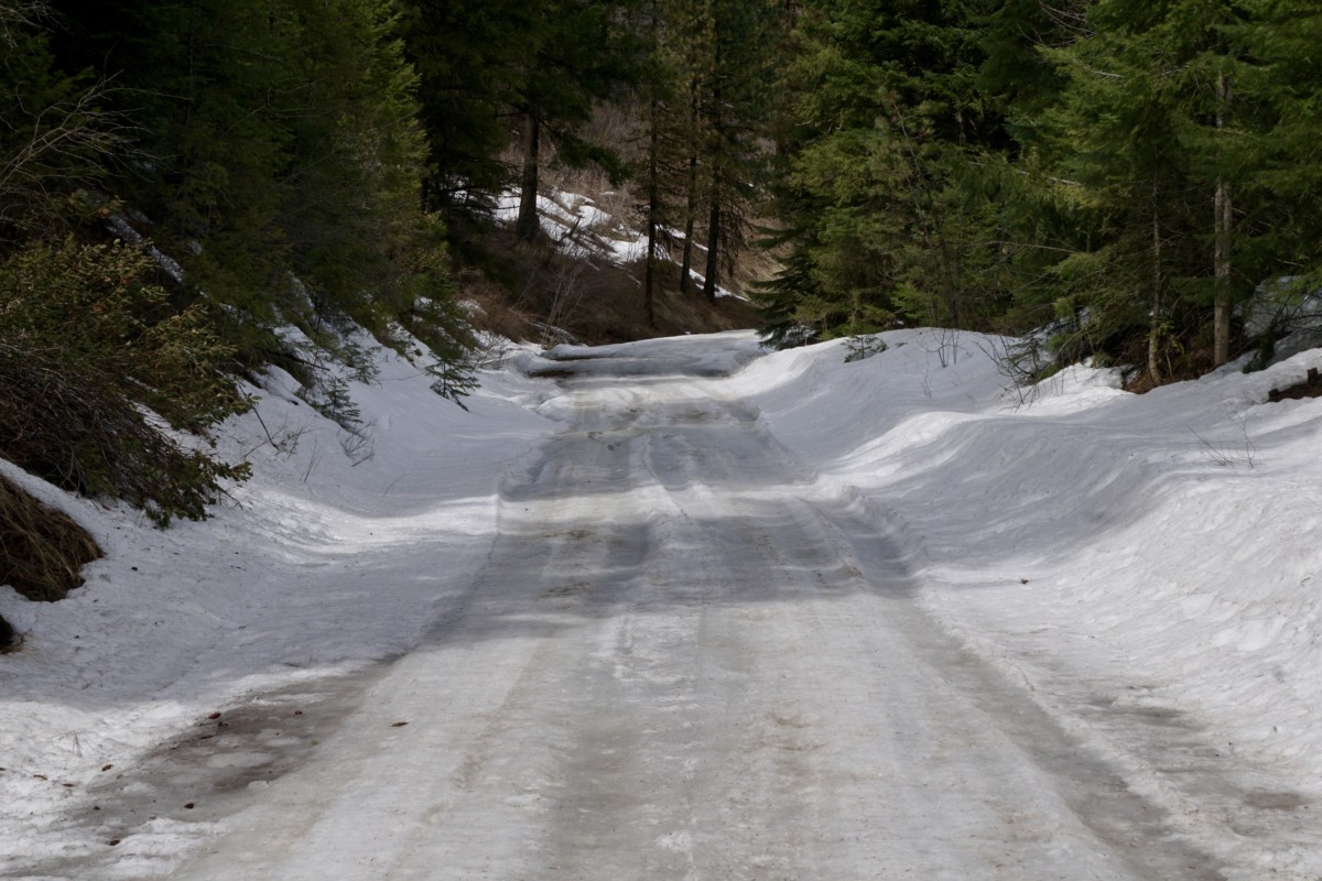
The road continued to wind its way north, following Squaw Creek toward its headwaters in the Payette National Forest.  We were getting close to 4,000 feet above sea level and entering the pine forest, so we began to encounter wet conditions and sections of slushy snow on the road.

The 47mm tires sank somewhat into the softened road surface, slowing their roll and forcing me to work harder for the same speed.  However, they certainly provided more traction and flotation than narrower tires would have.

The road began to climb more steeply and the snowy stretches became longer until they became practically uninterrupted.

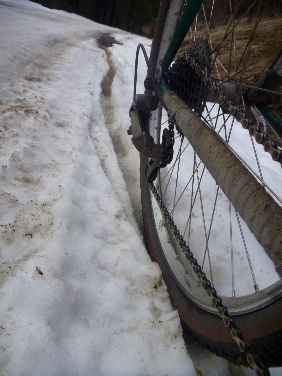
While the snow was not very deep, the Byway’s diamond tread didn’t provide enough bite for steering or pedaling through the slippery slush.  Likewise, the 47mm width was not sufficient to say on top of the crust layer.  I could ride brief stretches when the road leveled out but climbing was not possible.

When I was able to ride, I was constantly attempting to correct my line and keep the bike from sliding out from under me.  A mountain bike with 2-3″ tires would have handled these conditions much better than the Pack Rat but would have also been sluggish on the pavement and smooth dirt roads.

We pressed on despite the snow-covered road.  Traction was sufficient for walking and I didn’t think the pass was all that distant.  In hindsight, I probably should have paid attention to the omens and turned back.

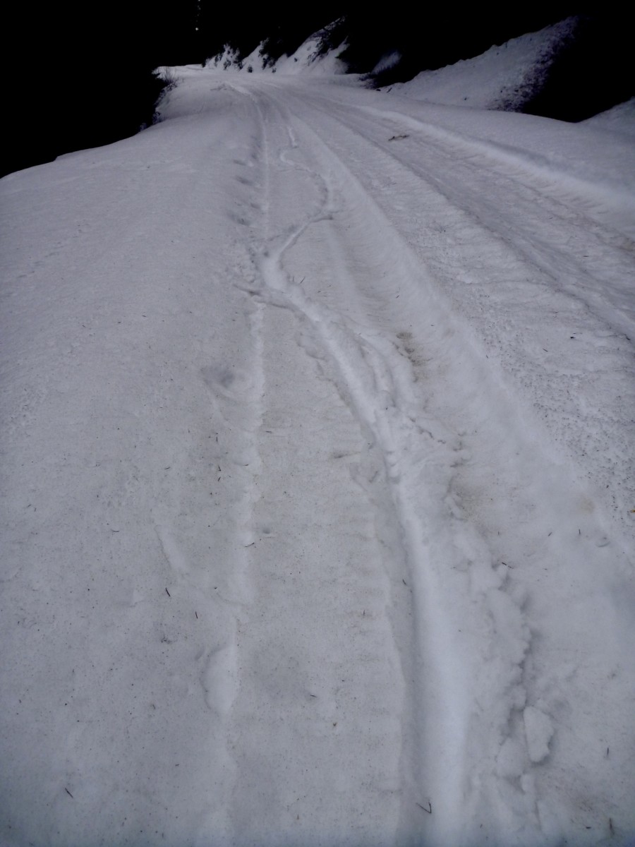
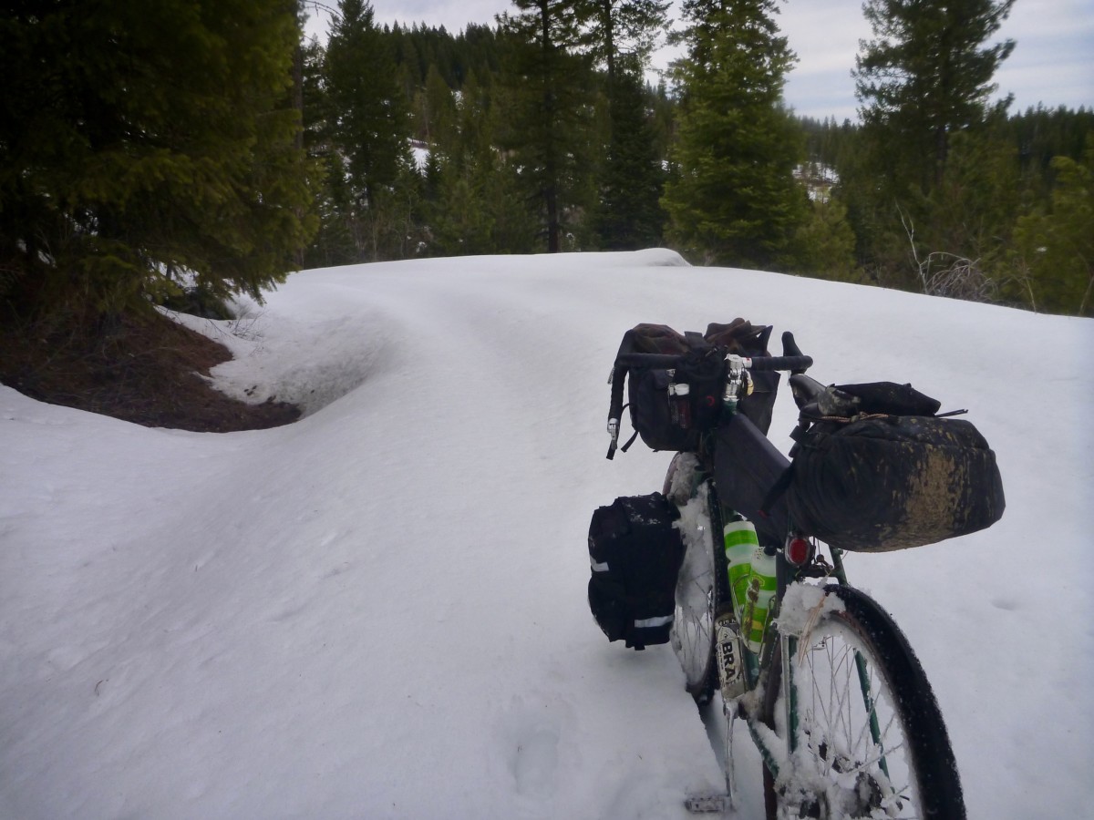
The snow continued to get deeper until it dragged at the bottom of my panniers.  The north-facing section of road just over the summit held drifts at least 3 feet deep.  I’m sure this road will be spectacular in a couple of months when all the snow is gone!  I don’t know how long it took to cover the 8 or 9 snowy miles but the time would definitely be measured in hours.

Clearly, these conditions were well outside the Pack Rat’s intended use.  Even a fatbike with 5″ tires would have been useless in snow that deep and wet.  I could have certainly saved myself some pain and suffering by turning back but I had made good time earlier in the day and knew I had sufficient daylight to get through.   I pushed, dragged, slipped and postholed over and down the pass, hoping that my planned campsite wouldn’t be under snow.

The campground still held some snow but there was plenty of dry ground.  I breathed a sigh of relief to have arrived and then set about drying my shoes and feet, eating food and doing my best to recover for tomorrow’s 90+ mile burn back to Boise.

I slept deeply and woke feeling surprisingly fresh after the previous day’s exertions.  I made breakfast, pulled on my frozen shoes and hit the road just as the sun began to peek over the eastern ridge.  The forest service road had yet to shake off the night’s chill.  Yesterday’s soft, wet mud and slippery slush had hardened into frozen dirt and roughly textured ice.  The Pack Rat excelled in these conditions, though I rode the icy sections cautiously and did walk a couple of slicker stretches.

Before long, the road reemerged from the trees and dried completely.  Conditions on the southbound leg started off similar to the northbound side. The cloud-filtered sun warmed the air and I enjoyed the (mostly) downhill grades and undulating terrain.  The Pack Rat hummed along, carrying speed through the troughs and over the top of the endless rollers.

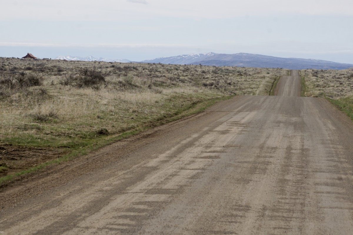
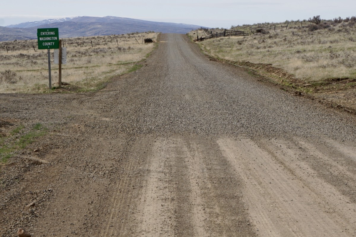
When we hit the Washington County line road conditions changed drastically.  The road had recently been graded and was evenly surfaced with 1-2″ size gravel.  I’d estimate the gravel had been laid no more than a week prior.  There were decent tracks laid down by auto traffic through most stretches but the rock lay in piles several inches deep in some spots.  Line choice was key, but the Pack Rat handled these challenging conditions admirably.  I’ve often felt that slimmer tires perform well in these kinds of conditions as they are narrow enough to push the loose rocks aside and grip on the hardpack beneath where a wider tire would float and roll on the top layer.

After turning off the recently-graded stretch of road conditions improved.  There were some seriously steep climbs on this leg of the ride that I would have wished away but the Pack Rat never held me back.  My legs had begun to tire and struggled to supply the necessary power.

Approaching the town of Emmett, it began to look like the highway would be a better option than returning via yet more nasty rollers in the Eagle foothills.  My body was tired and shadows were getting long.  We spun our way down the paved highway shoulder into the valley, turned to the east and finished the final few miles back to Boise.  My pedal strokes were weak and I was happy to be on a bike that rolled efficiently and didn’t ask for much leg strength to maintain forward progress on the asphalt and chipseal.

Overall, I came away from this ride even more excited for the Pack Rat’s potential.  It may not be your go-anywhere touring bike.  There are plenty of roads, tracks and trails over seriously rugged terrain in Idaho where a little more bike (Ogre, Troll, ECR, Bridge Club, etc.) would be a better fit.  It also won’t carry a transcontinental load as well as the Long Haul or Disc Trucker.  However, if you want a bike to travel a mix of dirt and pavement with a light-to-medium load on the weekend, pull double-duty on the weekday commute and have a good time doing it, the Pack Rat is worth your attention.  If nothing else, it’ll get you out of town and into the fun stuff in a hurry!

Categories
Idaho Our Trips

Little Weiser April Fool’s Errand: March 30 – April 1, 2018

Spring has arrived here in Boise!  Time to strike out on our first overnight trip of the year!  Here’s the route we’re planning to attempt:

https://ridewithgps.com/routes/27089400

The broad valley north of the Payette river and east of the West Mountain range has offered hospitable springtime conditions in years past.  Last year we rode to the Montour campground and did a big, looping day ride back to camp on the “Grindola” route.  Photos on this post were taken over that weekend in May 2017.  This year we’re thinking of heading a little farther north into the Payette National Forest and (hopefully) spending the night on the Little Weiser River.  Come join us!

First of all, let’s get the disclaimer out of the way.  This is not a bike event.  This is a self-supported, weekend bike ride with a group of friends.  All riders are responsible for their own safety and enjoyment, should come prepared to be 100% self-sufficient and have their own self-rescue or bailout plans in place.  Do not count on cell phone service.  We are offering a route suggestion, some potentially useful (or potentially inaccurate) information and nothing more.  That said, riding bikes is fun, overnight rides are even more fun and we welcome any and all riders who want to join in for any portion of the weekend’s journey!

OK, let’s get to the good stuff!  The plan is to close the shop a couple of hours early so we can leave Bike Touring News HQ at 4pm on Friday, March 30.  That’s right, the shop is CLOSING EARLY!  That will give us plenty of daylight for the 27-mile pedal through the Eagle Foothills and down the other side to the Montour WMA campground.

The descent down the Johnson Creek road hasn’t received any maintenance (that we know of) at least since last summer, maybe longer.  It is likely to be in poor shape and may not be 100% rideable.  There is one extended section where the creek has taken over the road.  This mile-ish stretch will likely be running with at least a couple inches of water and is paved with round, sometimes loose babyhead rocks.  Be prepared to walk/carry your bike if the going gets rough.

The Montour Campground is tucked in a shady grove just on the north side of the Black Canyon Reservoir section of the Payette.  The campground will likely still be closed for the season but water has flowed and bathrooms have been unlocked in previous springs.

The Montour Country Store and Triangle Restaurant (marked on the RideWithGPS route) are just a short pedal away for meals, beverages and general resupply.

Day 2 will cover around 50 miles of paved and unpaved roads.  We’ll gradually climb northbound through Ola with a probable stop at the Ola Cafe for lunch before continuing into the fringes of the Payette National Forest.  The Cafe will be the last on-route resupply until we pass through Emmett on the way back south, so stockpile those calories!

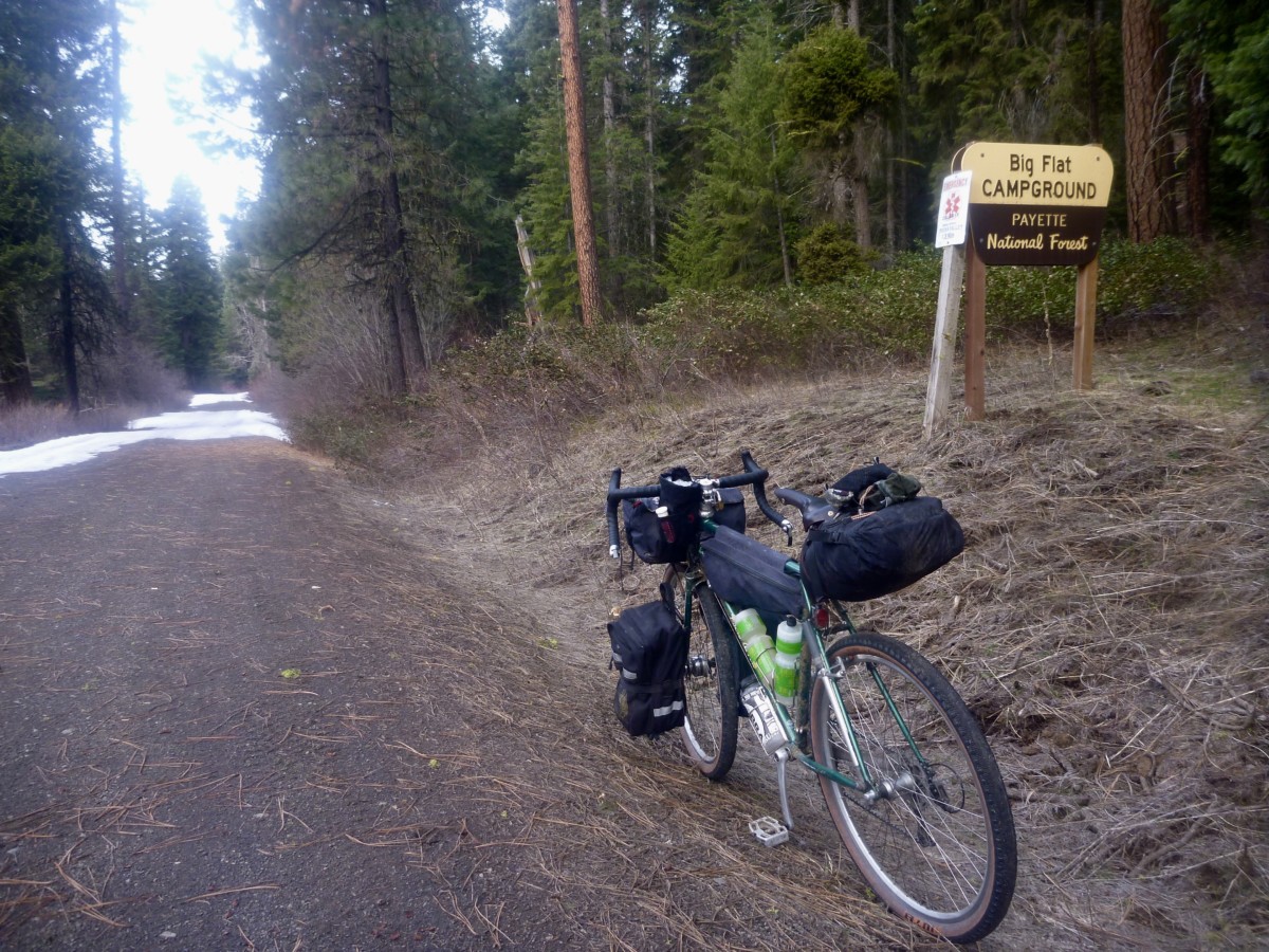
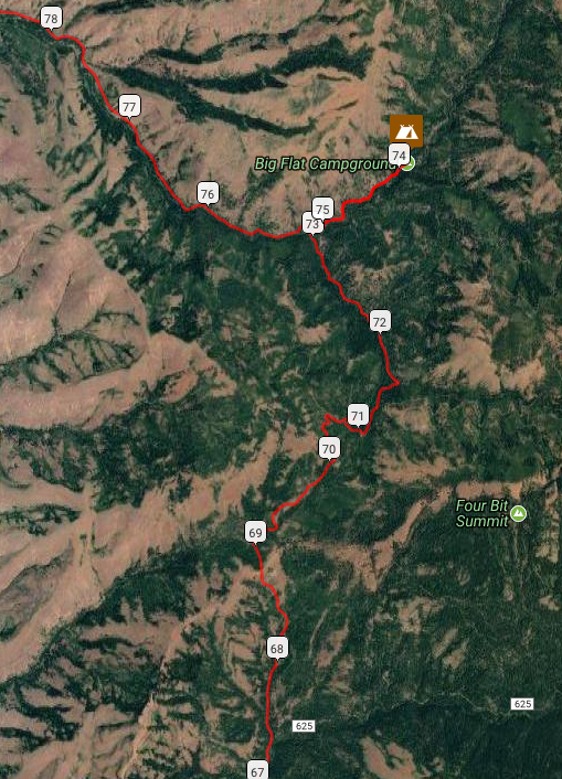
The day will end with the climb over the Mill Creek Summit and descent to the Little Wieser River, camping at the Big Flat campground or thereabouts.  This will be new territory, so we’re not certain what to expect.  We’ll just have to go there and find out.

Word from the Ranger on duty at the Council district office is that the roads up to and over the Mill Creek Summit (topping out right around 5,000 feet) should be snow-free.  I (Ryan) was surprised to hear that given the snow line here in Boise but we’ll just have to go there and find out.

Per the Ranger, the campground is closed but still useable – though toilets may be locked and water shut off – or we may seek an alternative spot to dispersed camp.  Will there be fish in the river?  We’ll just have to go and find out.

Day 3 will be the big day mileage-wise with a 90+ mile push back to Boise.  However, we’ll gradually be losing elevation and the roads should be pretty fast as we head southbound toward Emmett.  We’ll refuel in town for the climb out of the valley before dropping back to Boise through the Eagle foothills.   With an early start on Sunday morning we should have plenty of daylight for the return trip.

Can’t get out of work early on Friday?  Looking to trim some miles or skip the ride out of town?  Park your vehicle at Montour and ride Saturday and Sunday!  Shorter overnight and day ride options also abound in the area.  Choose your own adventure!

Weather:  NOAA weather near Big Flat CG (near high point of the ride)  Lows are forecast to be right around freezing, highs in the low-mid 50s.  Only a slim chance of precipitation, but it is springtime in Idaho so be prepared for anything.

Bike Choice:  Much of the route travels decently paved or maintained dirt roads.  Conditions will vary depending on level of maintenance but at least some rough conditions should be expected.  The Johnson Creek descent is likely to offer up the roughest conditions we encounter.  Any good dirt touring bike with 2″ish tires will probably do fine over 95% of the route.

Questions?  Email [email protected], call the shop (208-806-2111) or stop by!  See you out on the road!

Categories
Baja Divide Our Trips Surly Bikes

Looking Back at Riding the Baja Divide

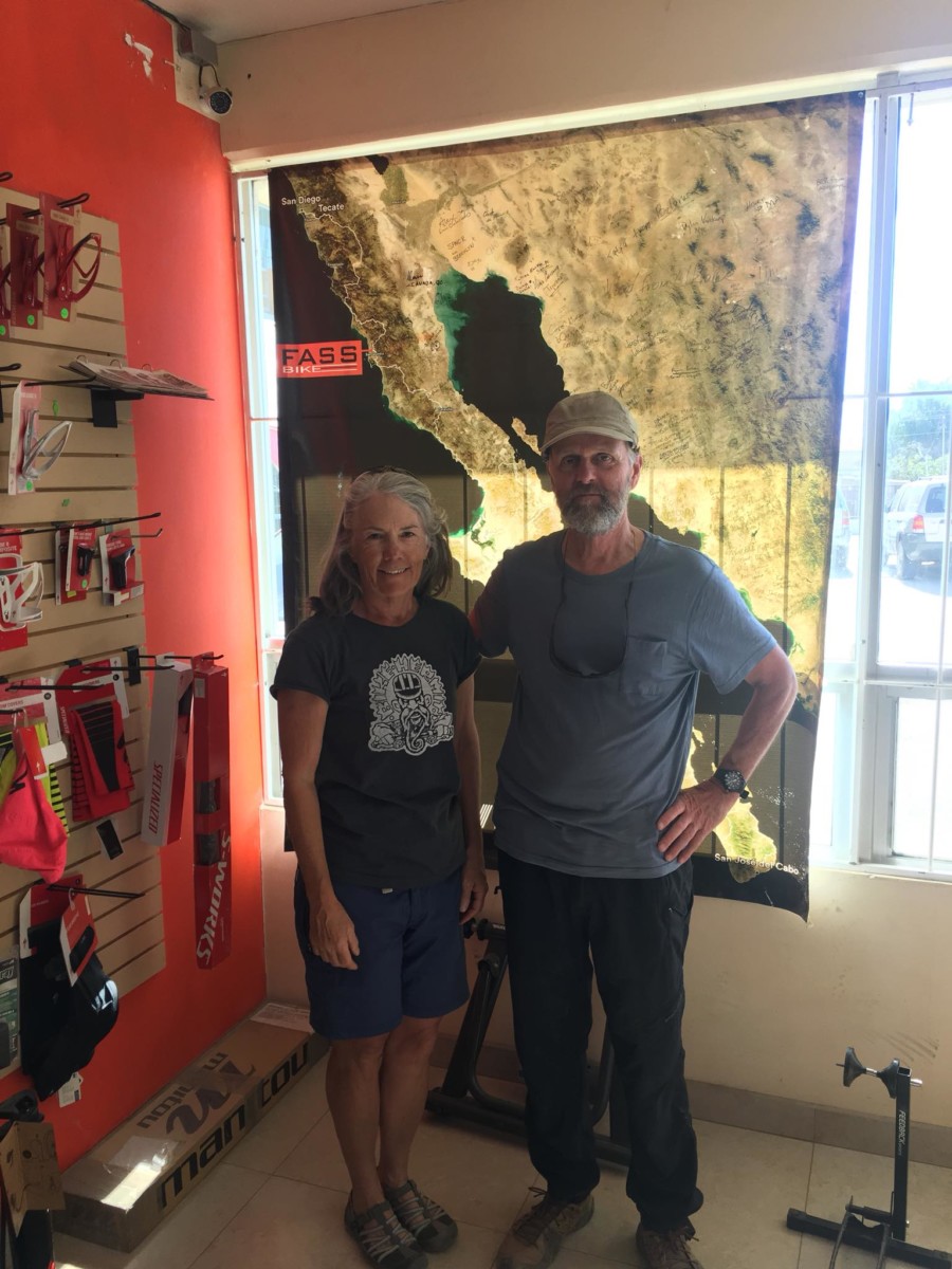
Traditional visit to Fass Bike in Vicente Guerrero

It’s difficult to put into words the emotions, the experience and reality of our adventure in Baja California, Mexico.  The Baja Divide Bike Route was established in the winter of 2015-2016 by Lael Wilcox and Nicolas Carman.  Read in detail on bajadivide.com.  Make note that these two are professional endurance athletes and many years younger than the Bike Hermit and Sky King.  We started pondering our own trip not long after the Baja Divide website was published.  Everything fell into place over the summer of 2017. 

We sold Bike Touring News to Ryan King – a perfect fit to carry on the blog, online store and retail store front.  We had nothing holding us back nor did we need to adhere to a tight time frame.  Granted, selling the business along with 98 percent of our worldly possessions and moving into our 1968 Boles Aero trailer left us little time to put miles on the bikes.  Overall, I don’t think our adventure would have changed much if we’d started with stronger legs.  Our Baja Divide experience included biking, bike hiking (lots of bike hiking) and bus riding.  Prior to rolling out of San Diego we’d agreed on a few major points that were vital as the trip moved forward.

  • We agreed to be safe and prudent.  We realized the need to error on the side of caution.  Falling and breaking something when you are in the middle of nowhere, in a country where you don’t speak the language, on roads that are very difficult to navigate was not something we wanted to risk.
  • We agreed that we would not be in a hurry.   We had no time constraints so if we only covered 20 miles or if we decided to explore an area we would do just that.  Stop and enjoy the Baja, its people and the country – what a concept.
  • We agreed that we wanted this to be fun.  We weren’t so naive as to know it wouldn’t be hard at times but “being able to” and “wanting to” are not the same thing.
  • We agreed to make smart decisions, as a team.  Taking breaks, stopping for the day, never letting the distance between us get so great that we couldn’t easily wait for who ever was in the back.  Eating even when we didn’t feel hungry.

Looking back, knowing these parameters from the beginning made for very few moments of frustration with each other.  Frustrations with the route are an entirely different story.

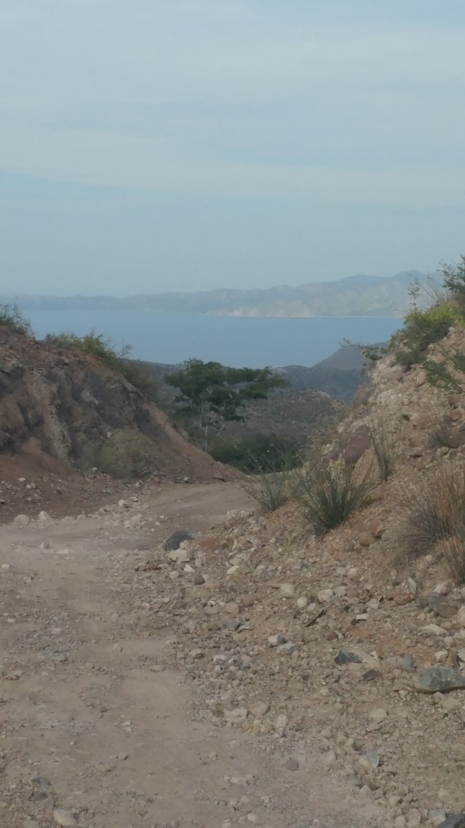
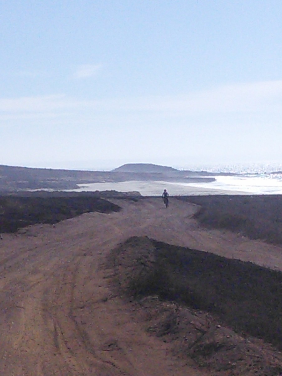
Welcome sight – Sea of Cortez

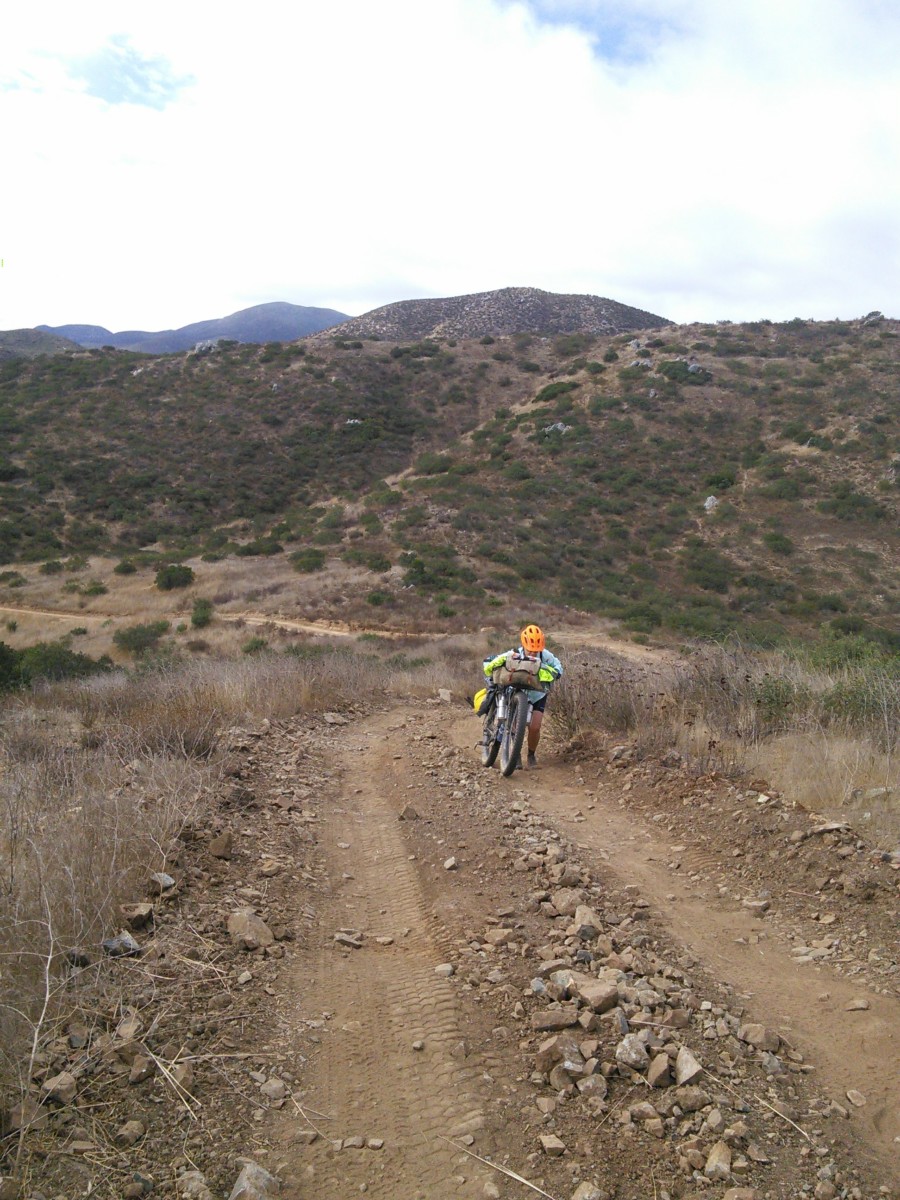
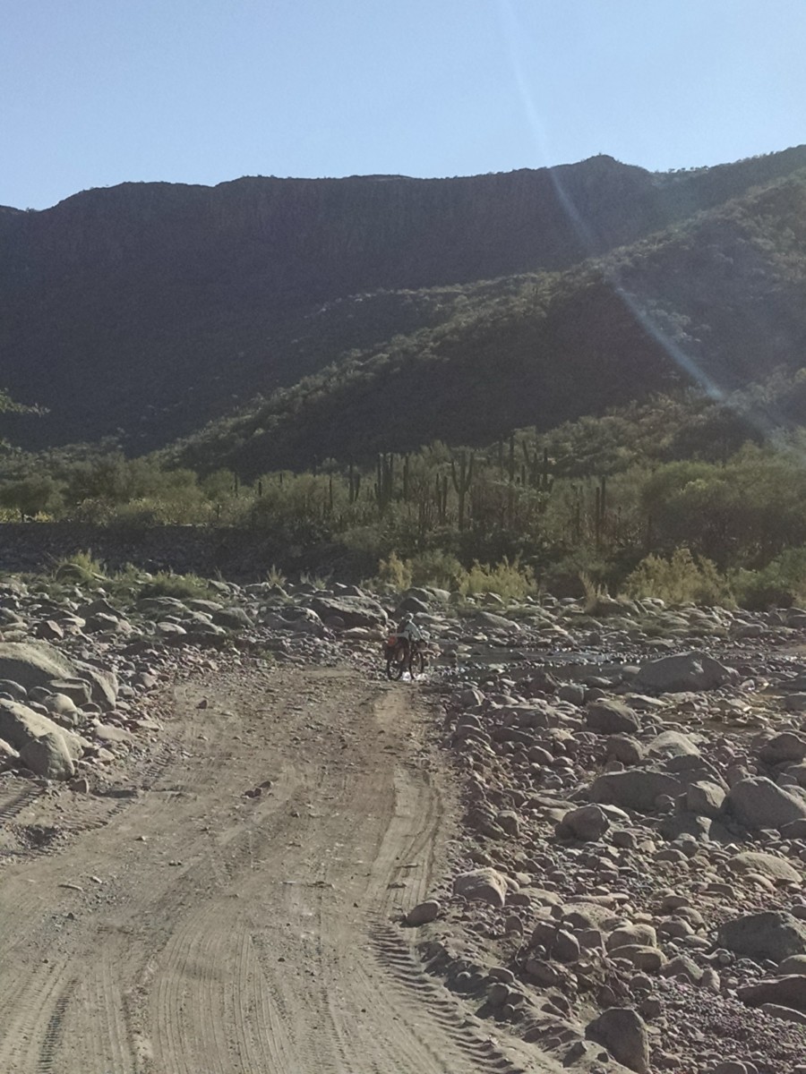
To date, this was the longest bike trip I have done.  I’ve ridden numerous 3, 4, 5 day trips both on pavement and on dirt roads.  I am not afraid of long days and I’m typically a strong climber so I wasn’t overly concerned about this trip.  We ride some extremely rough roads in the Owyhee Desert carrying the same loads we carried in the Baja.  What I wasn’t prepared for was the magnitude of the poor conditions of the so-called roads.  It’s one thing to have a tough stretch for a mile or two, it’s a whole different experience to have the tough stretch of road turn into miles and miles of difficulty, day after day after day.  I started the trip thinking that we’d still pedal the entire 1700 miles – though it would take us longer than some of the younger, stronger people who rave about the ride.  I kept that thought through the 305 miles of the first section, despite sitting under a scrub brush literally in tears after 4 hours of death grip descents or downhill walking alternating with climbs so steep you would have to push the bike forward, grip the brake, take a step and repeat.

Champion Bike Hikers!

A turn of events in Vicente Guerrero and a review our initial agreement helped us make the next smart choice.  We rolled into Vicente Guerrero in the dark, right at rush hour.  Mexico Hwy 1 runs right through the center of town, carrying the bulk of the motorized traffic in the Baja but also the end of the work day traffic for Vicente Guerrero.  We do a web search for hotels and note they are all on the other side of a deep arroyo spanned by a two lane bridge with no shoulder.  We manage to get across hwy 1 with the intent of finding a back road to the hotel.  A young man on a BMX bike rides past us, stops and asks (in perfect English) if he can help.  (This is not the first friendly local we encounter, nor the last. Read the Bike Hermits Crazy Guy on Bike Journal for more).  Manuel leads us across the bridge – turns out there is a sidewalk we couldn’t see in the dark.  He takes us to the hotel and speaks to the desk clerk to arrange quite a large room for us on the ground floor.  We gratefully tip him 100 pesos – about $5.  Being very tired from an extremely challenging day we head out in search of food and enter the first open restaurant we see.  The next day we realized we’d broken one of the rules our good friend Paul has told us about eating – never eat where you can’t see them prepare the food.  We ordered chicken sandwiches which came with lettuce and tomato and a lettuce salad.  We inhaled everything. 

At 3am I wake up with my stomach rolling.  I jokingly refer to my stomach as the princess stomach because I am sensitive to many foods so at first I just wrote it off as being dehydrated, yada, yada.  Jim wakes up at about 6am with his stomach rolling.  That’s when I knew we were in trouble.  In talking to others we expect the lettuce was washed in unclean water and that’s what took us out.  We took three days of unexpected downtime to read and research the route ahead, known as Section 2, Valle de los Cirios – 559 miles of the most remote part of the ride.  Water availability at one point is 120 miles apart.  In addition to being wiped out from being sick we knew that riding 120 miles in 3 days on this route was not realistic as we wouldn’t be able to carry sufficient water to be safe.  Back to the agreement above – make smart decisions and we want this to be fun.  Once we made the decision to take the bus to Mulege – thus skipping section two entirely – I let go of my old belief that it isn’t a bike trip if you don’t ride every mile.  Riding every mile sometimes misses the point.  Our Baja Divide became a multi-modal adventure that involved bikes.

Overall, the bike riding sections didn’t get any easier.  In fact some of our hardest biking days occurred after Mulege.  I would love to say that I learned to appreciate the difficult sections but I would be lying.  Riding the tough sections was physically and mentally exhausting.  We found it frustrating to read descriptions on the cue sheets or comments about the ride that (IMO) brush off the conditions of some of the backroads and brush off the distance to the next water stop.  To me, those are life threatening and I worry that someone is going to get seriously injured or even lose their life because they haven’t realized the depth of the undertaking.

When did I know I was done with the bike portion of our adventure?  This is actually a two part recognition.  We’d just completed our third day of the section from Ciudad Constitution to La Paz.  We arrived at the San Everisto, a small fishing village on the sea of Cortez.  The store and restaurant were both closed, we had to ask for water from a house.  We camped on the beach with the tiny fishing village to our backs and large sailboats and power boats anchored in the bay.  The economic difference was striking.  I thought to myself, “who is having more fun – that person paddling to their beautiful boat in the kayak or me sitting on the beach, covered in sweat eating lentils and spaghetti?”  I commented to Jim that it might be time to rethink the rest of the trip. 

Next day, we stop at another house to ask for water.  We don’t fill everything as we don’t want to make them go without and we expect to get to the next available water that day.  About 8 miles into the day the road starts to climb with such a steep grade it is hard to believe vehicles could drive it.  The next 5 miles or so vacillated from extremely steep and rocky climbing (which meant pushing the bike) to extremely steep and rocky descending (which meant more walking).  We push over two huge climbs and encounter a man walking with his two dogs.  He is pushing a cart and we laugh that he is probably traveling faster than we are.  He tells us the supposed water refill site further along doesn’t exist and he had to knock on doors for water.  It’s hot, we are mentally and physically exhausted and now we know we’ll probably run out of water.  What we were hoping would be a day-and-a-half ride to La Paz is probably more likely at a full two days at least.  Jim looks at me and says “once we get to La Paz I am done with the Baja Divide.”  I said, “sounds good to me.” 

If you’ve read the Crazy Guy Journal you know that shortly after this two wonderful brothers stopped with their tiny truck and gave us a lift to La Paz and we officially left the route. We didn’t quit biking, nor did we quit adventuring.  We just reviewed our agreement and adapted. 

Was it fun?  Overall the Baja was amazing.  We saw areas that most visitors probably have no idea exist.  We met people who have so little I was actually racking my brain about what I had on my bike that I could give them.

Stopping and exploring, camping on some beautiful beaches, absorbing the sights, sounds and food was fantastic.

I’m sad to say that the biking parts were often not fun.  This was difficult for both of us to accept as we really do like to bike pack and enjoy a challenge.

Would I recommend the route?  I don’t think so.  I continue to read the comments on the Baja Divide Facebook page and wonder how many people start the route and then make a change of plans or readjust their trip like we did.  Again, this route is very rugged and remote and we’ll probably never hear about those who have been seriously injured or ill and in trouble.  Occasionally someone will post about bike issues but we were fortunate to not have any problems.  We had dinner in La Paz, with Jenny and Matt Aker – also professional endurance bike racers.  At first they gushed about the route and the ride and it was only after we started asking them hard questions and sharing our experience did they admit that yes, even for them, the route had some extremely challenging moments.  It’s interesting that bike riders only seem to post about the good times.  We don’t want to come across as sour grapes type people and we aren’t.  We are realistic people and want to communicate that it isn’t always “fun” and this route should never be taken lightly.

Was it scary?  We got this question on our Facebook pages often. The Baja was not scary at all, ever. Out in the middle of nowhere if we came across people they were always friendly.

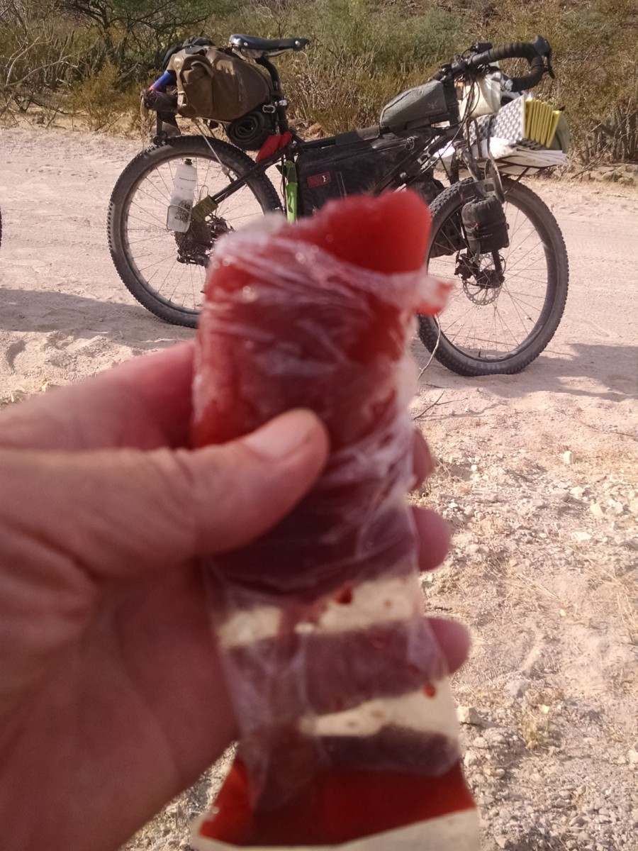
The Amazing Kool-Aid Popsicle – Gift from a Trail Angel

We wished we knew the language.  Total strangers would offer us beer, cold drinks, food.  Shop keepers would smile and laugh as we bumbled through attempted communication and they repeated words over and over for Jim so he could work on the correct pronunciation.  We walked the streets of La Paz well after dark and never felt uncomfortable.

Will we go back?   I hope so, but it won’t be on bicycles.  The Bay of Conception worked its way into my heart, it would be intriguing to return for an extended stay.

What’s next?  I type this sitting outside in Yuma, Arizona.  Our next obligation isn’t until May 1st when we report to work at a dude ranch in Victor, Idaho.  We are still adapting to the slow life but getting better.  We may or may not get to Alpine Texas this winter.  We may just get lost in the Arizona desert too.  Regardless, we know there is plenty of biking in our future.

Categories
Bike Touring Tips Bikepacking Idaho Other Tours and Rides

Looking Back On 2017 – Experiences and Insights for the First Time Bikepacker

Hey there, my name is Matthew Wordell. Earlier this fall when Ryan took over Bike Touring News, he asked me to write a brief retrospective on my experiences bikepacking Idaho in 2017. I live and work in Boise as a freelance photographer (InstagramWebsite). I’m fairly new to the sport and my hope is that some of what I write here will inspire that one person who has wanted to try bike touring or bikepacking to take the plunge and head out on their first ride. Full disclosure: This is my first attempt at writing a blog of this nature, so thanks in advance to those of you who finish the whole thing <3

For anyone reading this who isn’t already familiar with Bikepacking, this is a great definition from Bikepacking.com – 

“Simply put, bikepacking is the synthesis of mountain biking and minimalist camping; it evokes the freedom of multi-day backcountry hiking, with the range and thrill of riding a mountain bike. It’s about forging places less travelled, both near and afar, via singletrack trails, gravel, and abandoned dirt roads, carrying only essential gear. 

A common misconception is that bikepacking requires a small fortune to fully appreciate; the perfect bike, custom bags, and all the latest ultralight camping gear. While investing in quality gear is never a bad idea, it’s certainly not a necessity to get you up and running. Start by using what you own and picking a short overnight route near home (30-60 miles). Discover what you really need through experience.”

With that, here’s the official beginning of this blog:

Bikepacking in 2017 begins as any other year should – far too early, far too cold, and with little regard for the forecasts prediction of rain and cold. With my bags packed and work finished for the day, the itching desire to saddle up and head for Shaw Mountain becomes palpable. Hurriedly, I lock the door to my small North End apartment and ride through downtown Boise to meet several friends who will be joining for the evening. The plan, a quick sub-24 hour ride up to the ridge road where we’ve often set up for simple overnight campouts, cook dinner, drink whiskey, survive the cold, and bomb down the mountain for work in the morning. The landscape by Shaw Mountain offers a beautiful panoramic view of the city below, stars above, and a perfect silence I’ve come to love in wooded areas, away from trafficked dirt roads. I’m still astonished a place like this exists less than a two-hour ride from town.

For us, this ride is a tradition at the beginning of the year, something we simply like calling “Wednesdays Are For Bikepacking.” It’s our way of taking advantage of Boise’s proximity to forested and lesser traveled areas along the ridge between Bogus Basin and Shaw Mountain.
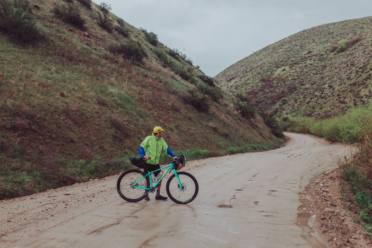
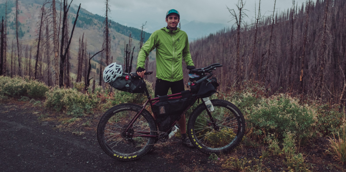
While making the final adjustments to our gear, a deep purple wash of clouds gathers across the western horizon, casting the day into inky purple darkness and casting doubt into our minds about whether or not it is really a good idea to follow through on the years first mid-week overnighter. None of us were really up for freezing to death on the first ride of the year, but it’s hard to say no to something we’ve looked forward to for so long. Nearly impossible this time after surviving the brutal snowpocalyptic winter that ravaged Idaho for months.

Thinking we could beat the rain to the ridge, we begin the climb. Cresting Reserve Road and descending toward the choppy gravel of Rocky Canyon Rd., the weather takes a quick turn for the worse, rain beginning to come down in sheets. Less than 25 minutes into the ride we’re soaked, frozen, and laughing uncontrollably. For a moment, I think we all hate it, each of us knowing that turning around and spending a warm night at home would be infinitely easier than the cold night ahead. But it was the inclement weather that confirmed what we had partially forgotten through the winter – what we really love about bikepacking.

Facing the unexpected and working through physical challenge isn’t something we experience all too often in day-to-day life. Routines dictate much of our schedule and for the lucky few (depending on what you consider lucky) who are self employed there’s still a healthy level of predictability you need to maintain in order to keep things afloat. Backpacking, bike touring, or any other sport that carries you beyond the routine and predictable motions of civilization provides an incredible opportunity to connect to the unknown, to face challenges, and to push through moments when giving up seems to be the only option. Finding joy in the pain, laughing at it with your friends. In the moment, this is the message I feel is being delivered to us by this god awful weather.

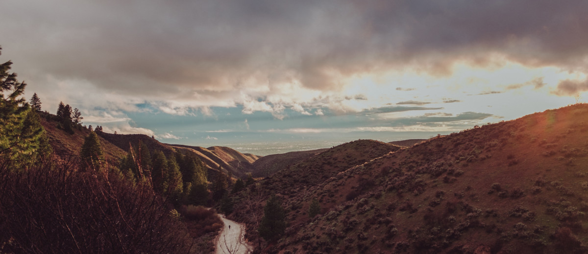
Reaching the top of the ridge, the storm finally breaks and sunlight explodes across the horizon, bathing the surrounding pine trees in purple and orange streaks of light. It’s a beautiful end to a short and painful ride and a great way to start the year. We stand together on the ridge taking it all in before piling into a small two person tent with our sleeping bags, cook kits, food, and whiskey. The tent is way too small, but it’s the only way we’ll be able to warm up before heading to our own tents and falling asleep for the night. It’s crazy to think home is less than 15 miles away. It’s a Wednesday night. We have work in the morning.
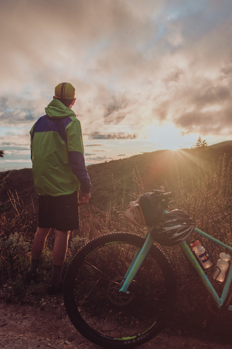
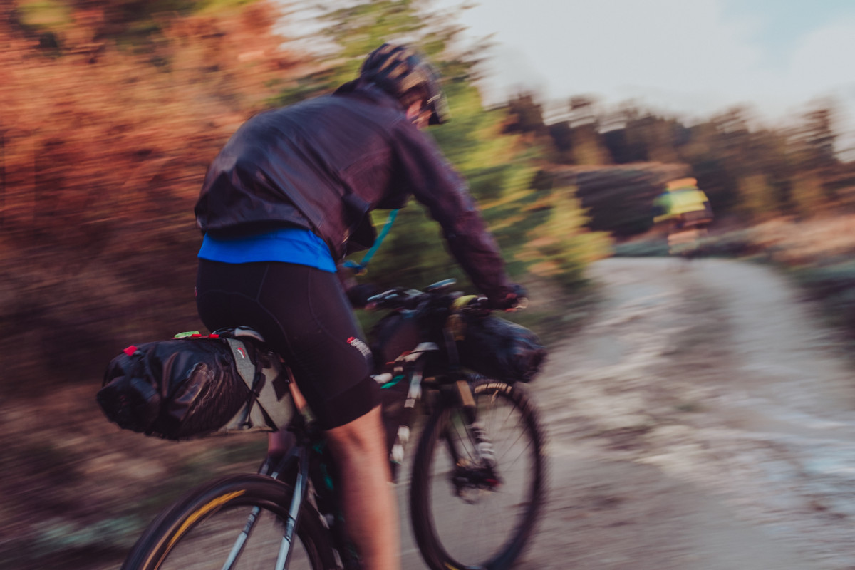
I’m fairly new to mountain biking and only recently discovered bikepacking in 2016, but it has completely changed my understanding of why I ride bikes. For readers who are interested in trying it out, I’ll try to include bits of information that hopefully make the first step a little less intimidating.

Each trip I take I learn something new about the equipment I use and my approach to riding – a new way to pack my bags, a better way to make coffee, a more efficient way to access certain types of gear, slower climbs, more snacks, taking time to swim in the middle of the day, and how to plan routes to keep the riding fun and the opportunities for beer plentiful. The process of trial and error is important in any sport, but I feel it’s especially important for bikepacking as the first couple rides can often feel the most intimidating. Never fear, everyone has their own idea of what works so it’s worth experimenting with your packing setup! Here’s a few pro tips to get you started:

  • For your first ride, try packing as light as possible to achieve maximum suffer points and garner extra kudos from all those ultralight riders on instagram who spend half their ride wondering if they actually needed that extra pair of wool underwear (they didn’t). For this all you’ll need is several packets of instant coffee, a cook kit for boiling water, and nothing more.
  • Once you’ve endured the pain of step one and have successfully realized camping is a lot more fun when you’re comfortable, you can now try packing a little heavier, a great way to impress yourself and your riding partner. For this “medium weight” approach, carefully stow away that handsome pour-over setup you’ve been dying to try out in the forest while the sun peaks over a wooded ridge, the steam of your fresh pot of boiling water lingering above a nearby brook, while you think to yourself more than once “can life get much better than this?” If you’re the lucky chap who remembered to grind your coffee before hitting the trail, then the answer to that question is yes. Absolutely yes.
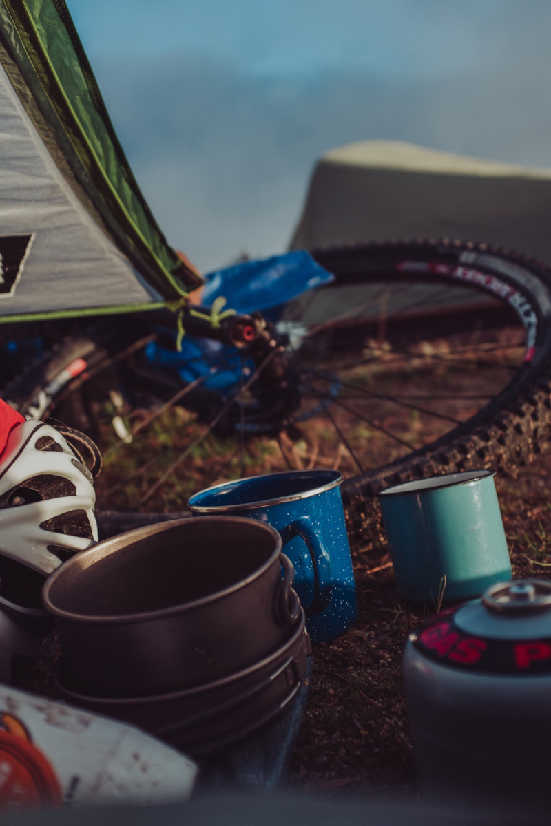
  • Last but not least, there are the mystical few who have been called by Zeus himself to go “fully loaded.” Be careful who you discuss this approach with, a careless slip of the fully loaded tongue in the wrong company could lead to temporary lack of invitations to participate in those mid-summer bikepacking rides your buddies are all posting about on social media. Some will say this approach is unnecessary but if you’ve budgeted time for premium, grade-A nature-indulgence it might just be the right option for you. This setup requires a trip to your local co-op or natural foods store to purchase one pound of whole-bean single source coffee, your hand-operated burr grinder, and that freshly polished glass french press you haven’t used in two months. For the full effect of traveling “fully loaded,” pack a four-set of enamel mugs for you and your new friends who were laughing at the beginning of the ride but now realize you’re an absolute genius.

For me, I’ve had to strike a balance between efficient riding and efficient good times once I’ve reached my destination. For that reason, I usually opt for the pour-over approach with a few additions. A block of dubliner cheese, a mini Bota Box of seasonally appropriate wine, a bar of chocolate, and maybe a shooter or two of some hard alcohol to take the edge off a big downhill section or when you make camp way later than planned and end up taking a pitch-black midnight bath in that nearby freezing river.

In my opinion the best first rides are along rivers, the grades are more predictable, you can stop and swim if the day gets too hot, and you have all the water you need for dinner once you make camp. Pick one, find a place to park, pack up your bike, and ride until you find a badass spot to camp. Strangers will help you if you get into trouble. It’s something I have to remember every time I leave the house for one of these rides, people are willing to help if you need it. Don’t be afraid to ask for directions and recommendations, 95% of the time people know the area better than you do.

One of the most important lessons I’ve learned along the way is that shit breaks, gear fails, and people forget things. It sucks but it’s part of the fun (just don’t forget your sleeping bag and cook kit). Learning how to improvise and exist without the conveniences of everyday life is an oddly valuable skill and something you gain almost immediately while practicing any type of minimalist camping. On my first bikepacking trip, a friend and I didn’t have anything to use for chairs while eating dinner and lounging by the fire, so we decided to build make-shift stools out of pine bark. It seemed like a brilliant idea, but after kicking back for a few minutes we quickly discovered that his was infested with ants. Live and learn. Upon returning, we immediately went to REI and bought A-lite Monarch chairs and have packed them with us on nearly every trip since.

So yeah, back to 2017:

As May and June come into bloom, my rides seek out new vantage points, less traveled roads, more difficult climbs, lakes, rivers, and hot springs. I always have to include hot springs when possible. Normally I feel a drive to explore beyond the borders of my state, but this year it feels good to discover small towns in the mountains, talk to people who live there, learn of their favorite places to camp nearby, and wash myself in crystal clear river water at the end of a day. Its a year spent building my relationship with Idaho, deepening our connection, and discovering places I will surely return to year after year.

Almost every weekend, I find myself coursing like the wind along sweeping dirt roads, rambling through the high valleys, pine groves, and sagebrush of Boise National Forest, filling my body with a sense of freedom. Roads I’ve hardly noticed while driving become new passageways to a realization of the beauty that surrounds me here in this state. A sense of thankfulness with every turn, like my whole existence is breathing in the wild air of this place. It feels amazing. Each ride feels like a liberation from something, each experience building my confidence in the gear and skills I take with me.
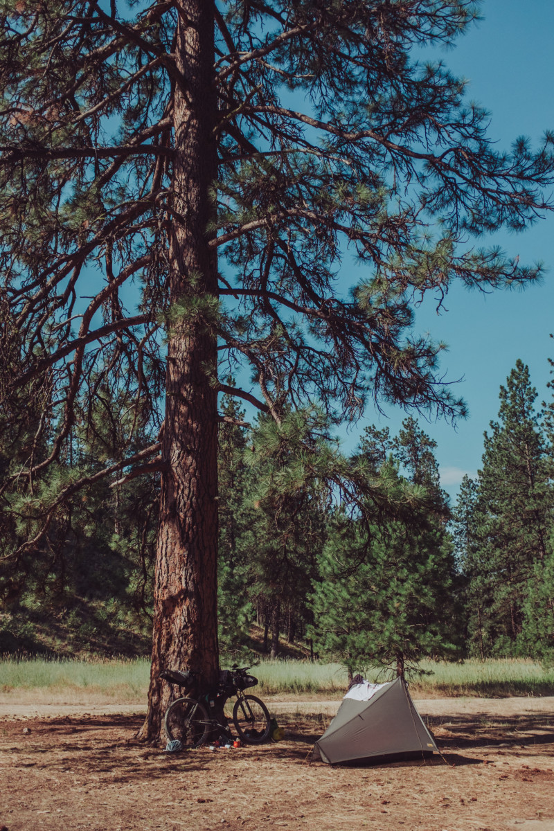
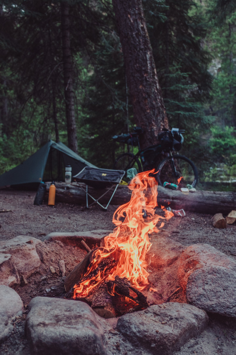
 

Autumn arrives and the tone of life in the wilderness changes, nights are cooler, the weather holds longer in its whims. All through summer we’ve talked of a ride to Atlanta and the annual Atlanta-Days festival is fast approaching. Five of us decide to meet at Trinity Hot Springs just outside of Pine, ride to Featherville and begin the climb through Rocky Bar and over to the Middle Fork Boise River where we connect up to Atlanta. It’s an arduous ride complete with several stops for water and naps in the shade once we reach the top. Arriving in Atlanta as the sun slowly dips toward the horizon, we set up our tents near a group of rustic cabins on the edge of town, unload our bikes, and ride to a nearby water hole called “The Clubhouse.” My favorite part of any hard ride is swimming in ice cold water afterward and this spot was especially cold.

The next day we climb up Phifer Creek Road and traverse Trinity Mountain Road, probably sweating at least half of our body weight along the way. Of all the places I rode this summer, the road to Trinity Mountain is the most beautiful of them all. The views, the clean air, the lack of motorized traffic all combine for an incredible dust-free suffer fest on the way up, and an adrenaline filled flight down the backside. We camp at Big Trinity Lake that night, a bear demolishes an ice chest in the campsite next to us but I sleep right through it, the difficult ride working as an impenetrable sedative on my mind. The photographs below catalogue our trip. Enjoy!

For anyone who is interested, I’m always changing my setup and trying new things. This is usually what I roll with:

Bike:

Clothing:

  • Patagonia capilene leggings
  • Arc’teryx thermal base layer top
  • Icebreaker wool socks for camp
  • 7 Mesh Bibs under shorts
  • Kask Mojito Helmet
  • Swiftwick socks for riding
  • Specialized BG Gel riding gloves
  • Cotton t-shirt
  • Sunglasses / cycling glasses
  • Chacos
  • A random beanie
  • Patagonia down sweater
  • Running shorts for camp / swimming / etc
  • Cycling cap or baseball cap

Electronics:

  • No-name rechargable battery pack
  • iPhone 6s
  • Fuji X100T digital camera
  • Blackdiamond Headlamp
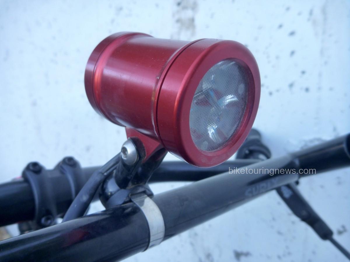
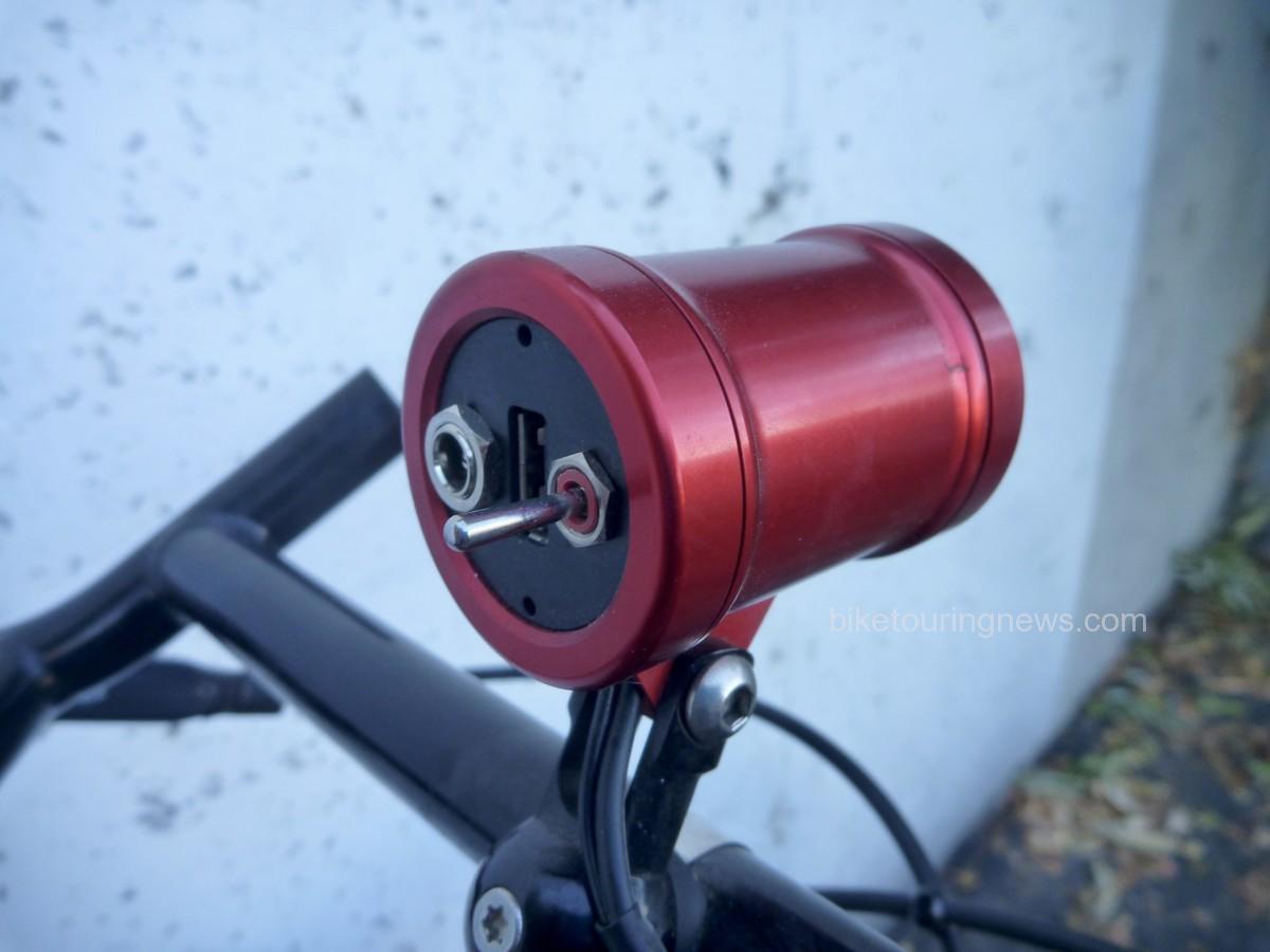
  • Sinewave Cycles Beacon light & USB charging cables
  • Kindle (if I’m traveling alone)
  • Earbud headphones

Sleep setup:

  • Tarptent Notch with poles
  • REI Flash Pad
  • REI Igneo sleeping bag
  • Sea-to-Summit inflatable pillow

Other:

  • A-Lite Monarch Chair
  • Outpost Titanium Pot & Pan (lid)
  • Snowpeak Gigapower Pocket Stove
  • MSR Fuel Canteen
  • Good-to-Go dehydrated meal (Thai Curry changed my life)
  • Spork
  • Vapur 2 liter soft bottle
  • MSR Trail Shot water filter
  • REI pack towel
  • Tool kit (Parktool chair breaker, needle, thread, tire levers, Co2, mini hand-pump, patch kit, etc)
  • Pocket knife
  • Enamel mug
  • Collapsible Helix Coffee Maker + coffee grounds in a pill bottle
  • Tons of snacks
  • Beer / Mini Box of wine / Whiskey / Take your pick
Categories
Baja Divide Our Trips

News from the Bike Hermit and Sky King in Mexico!

As you may already know, the Bike Hermit and Sky King have pedaled into retirement from bike shop life and are currently making their way south along the Baja Divide.  As of this writing, they’ve completed the first five segments of the route and are currently resting up in Vicente Guerrero in preparation for what lies ahead.  Here’s a link to the description of this first stretch of the route on the Baja Divide website.

They have been posting photos to Instagram (@stacy_king_powers and @bikehermit) and updating their Crazy Guy on a Bike journal (http://www.crazyguyonabike.com/doc/Bajadivide).  It sounds like the going has been tougher than expected but that the pace of Mexican life seems to be agreeing with them!  Follow along, put your support and encouragement in the comments and enjoy their adventure vicariously.  Here are a few favorite photos from their journey so far:

We’ll continue to share occasional updates from Bike Touring News’ Owners Emeriti as they continue their adventure, so keep your eye on the blog.  Keep up the good work, have fun and stay safe out there, you two!  In the meantime, we have some updates from BTN Headquarters to share, so stay tuned…

Categories
Other Our Trips Tours and Rides

I Hate Goodbyes…

This day has been coming for a long time but that doesn’t make it any easier.  The Bike Hermit and Sky King gave a characteristically unceremonious final farewell and walked out the door of Bike Touring News HQ today.  We’re not likely to see them around these parts for many months at the very least.  As the Hermit said, “this might be the last time I ever see this place.”  Their exit has been a long, gradual process that has taken up much of the last six months but the finality of their departure weighs heavy as a swollen raincloud on this overcast fall day in Boise.  I’m going to miss the hell out of those two.

Many of you will already have heard that Bike Touring News is under new ownership, that Jim and Stacy are entering a period of semi-retirement to chart a more adventurous path.  Like most of you, I’m thrilled for them (if not a little jealous) and can’t wait to read stories and see photos of their journey.  I look forward to sharing dispatches in the form of blog posts as they journey south, eventually making their way down the length of the Baja Divide.  However, I’m struggling to wrap my mind around the reality of work at Bike Touring News and life in Boise without the Hermit’s good-hearted surliness and Stacy’s youthful joy and caring.  Their departure has already left a palpable void and Bike Touring News HQ suddenly feels quite lonely, like a winding desert road with an uncertain destination.

A couple of weekends ago, I was able to join a handful of friends for Jim and Stacy’s last ride in the Owyhee Canyonlands.  At the time, it felt like just another trip in the desert.  Every journey into that wild, remote country is special and unique but this particular ride didn’t feel all that different from those that came before.  Looking back, it now feels packed with meaning and significance.  We started out separately, rode and camped together, then continued on our separate paths.

Our trajectories in life have been somewhat similar.  Happenstance and shared interests brought us together for a time and now those shared interests are leading us down diverging trails.  I think I first started saying goodbye to Sky and the Hermit when we parted ways on the frosty morning of the second day of our ride to Little Jack’s Creek, as I watched them climb away along the double-track into the cloud-filled sky.  I know our paths will cross again in the future but I’m left wishing we had more time.

Despite my sadness at their leaving, I’m excited and optimistic about the future for all three of us.  They’re pursuing a brave dream, having offloaded nearly all the belongings and encumbrances that tie so many of us down and setting out to ride one of the most ambitious bikepacking routes in the world.  At the same time, I’m embarking on my own adventure of bike shop ownership, building on the foundation they laid over the past six years.  I feel incredibly fortunate to be in a position to move Bike Touring News into the future and am honored by the trust Jim and Stacy have placed in me to carry on their legacy.

They’ll be rolling out of Boise in their big red pickup tomorrow, with bikes in the bed, a Bike Touring News sticker on the bumper and their few earthly possessions securely stowed in the Boles Aero travel trailer.  Come November they’ll be pedaling terra incognita on the Baja Peninsula, camping on beaches, traversing mountains and navigating deserts.  When asked how long they expect to spend on the Baja Divide their answer has always been, “as long as it takes.”

I hope their journey is filled with excitement and discovery, honky tonks and juke joints, cervezas frias y tacos pescados, with only enough difficulty and struggle to highlight the easy, effortless times.  Safe travels, you two.  Take care of yourselves and each other.  Bike Touring News, Boise, and the Owyhee will be awaiting your return, for as long as it takes.


Categories
Bikefishing Bikepacking Idaho Idaho Hot Springs Mountain Bike Route Other Our Trips Surly Bikes

Middle Fork Sub24O


A few months back, I came across a small article about a Sub24O ride from Crouch, ID to Boiling Hot Springs. After posting said article to Facebook, I find that I have 3 general types of friends, the kind that will click that little ‘heart button’ and then comment something like “you are so badass, I wish I could do something like this”, well dude you could, and you should. Then there are the people, who you probably haven’t spoken to in years, that will like and share the post and then go do it on their own, with their own bike touring squad. The best kind, however, are the ones that text you later, with genuine interest, and over tacos you start to develop a plan. Many beers and several puns later, a weekend was chosen and the gears were put in motion (pun intended).
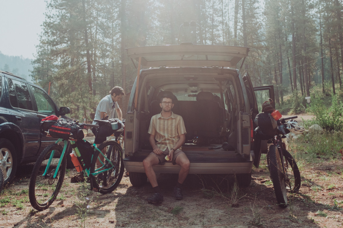
The thing is about drinking beer while planning a bike trip, some of the fine details get lost in translation… A bit of advice I’ll share with you, something I’ve learned in my bike touring endeavors, always have a plan B, in fact always have at least a plan B, probably a plan C, and just for good measure, keep plan D tucked away in your back pocket. The weekend I picked for this adventure just so happened to be the first weekend after the start of Boise State’s Fall Semester, and with my touring partner in the middle of earning his MBA, he had to back out at the last minute. I’ve toured alone before, see ‘Crazy girl rides across Oregon’, so I had no qualms about setting out on my own, but when the Bike Hermit and Sky King caught wind of the trip, they felt it necessary to join in on the fun. And so, after a few beers, I left the two of them to pour over maps of the route that I had planned for months, double checking all the details and making sure I hadn’t just made the whole thing up.
The next morning I pulled up to Bike Touring News at 0900, gear spread across the entirety of the garage, Revelate frame bags, Surly junk straps, Hennessy Hammocks, BTN water bottles and various bits of clothing needing to be packed and loaded into the truck. I tried to keep my cool as I stuffed my sleeping gear into my handlebar bag, a Revelate SweetRoll that was fighting back. An hour later, we were heading out, driving in circles so the Bike Hermit could find an ethanol free gas station (Horseshoe Bend does have ethanol free for future reference). As the temps rose into the high 80’s we pulled into Crouch, finding a spot suitable for overnight parking, next to the log cabin that doubles as the town hall. Thankfully the City of Crouch offers free WIFI, thus I was able to get a shot of the fully loaded Karate Monkey off to my many instagram followers (all 50 of them). At noon, I headed up Middle Fork Rd, a few minutes ahead of the Bike Hermit and Sky King.

The first 8 or so miles are rolling pavement flowing past a mixture of old barns, open fields and modern homes perched along the Middle Fork of the Payette River. Once the road hits the boundary of the Boise National Forest, it turns to gravel with both designated and primitive camp spots every few miles. The steady climb takes you past several fishing and/or swimming opportunities, which despite their remote location seem to surge with popularity on weekends. Most of the motorists and ATV users were respectful to the ‘Share The Road’ signage, but without doubt, we did encounter the occasional driver who seemed to give zero shits about the lives of cyclists. I would highly recommend bringing an extra handkerchief to tie up bandit style for this exact reason, protecting yourself from the intermittent dust bowls. The 16 miles of gravel transitions from washboard, to packed dirt, to deep layers, making us thankful for the 3” tires in place on the Surly ECR, Troll and Karate Monkey.

In late August, the Middle Fork runs at just above 100 CFS, making it the perfect time to access the natural hot springs requiring river crossings to access. The low flow also leaves small pockets above sections of rapids where brook trout made futile attempts to hide from the Bike Hermit’s Tenkara Rod. The short distance from Crouch to our destination allowed us for plenty of time to stop and fish with daylight left to set up camp. At mile 16, the road forks, the east taking you along the traditional main route of the Idaho Hot Springs trail, the north taking you up to Boiling Hot Springs, our intended destination. Sky King’s research showed that the designated camp spot at Boiling Springs would cost $16.00, more than the cost of gas to get from Boise to Crouch, leading us to look for a primitive spot along the river. Just below Silver Creek, along a stretch of river where several trout could be seen with the naked eye jumping in the afternoon sunlight, we set up camp for the night. IPA’s supplied by Mother Earth Brewing were cooled in the sub 60 degree water and fly rods were rigged for slaying. As the sun set below the canyon, the fishing slowed and Sky King whipped up a delicious riverside happy hour consisting of crackers, cheese and red peppers. After refueling, the Bike Hermit and I headed north in search of undiscovered trout waters, scurrying down steep embankments to the deep pockets protected by downed trees and large boulders. We fished until dark before drifting off in Hennessy Hammocks to the sound of the river bubbling close by. 

The quiet of the remote location and the lack of sun in the canyon allowed us to sleep in well past 0900 and we took our time packing up in the cool morning air. The Bike Hermit revealed his ninja fast packing skills, training from coffee drinking, jogger pants wearing, sunday breakfast type guy into the Bike Hermit in less than 10 minutes, a real Clark Kent to Superman type moment.
It wasn’t until we had gone a few miles before we realized how much of a steady climb we had undertaken the day before, making it a true Sunday Funday. The extra time allowed us to stopped at Fire Crew Hot Springs, the Bike Hermit fished while Sky King and I explored the warm pools on the west side of the river. We came out of the canyon in the late Sunday afternoon heat, making the last few miles a bit harsh. Thankfully The Dirty Shame serves up a good burger and the squad was once again smiling while reliving tales from the past 24 hours.

Bike Touring News endorses this ride for numerous reasons

  • quick overnighter not far from home with options to go further.
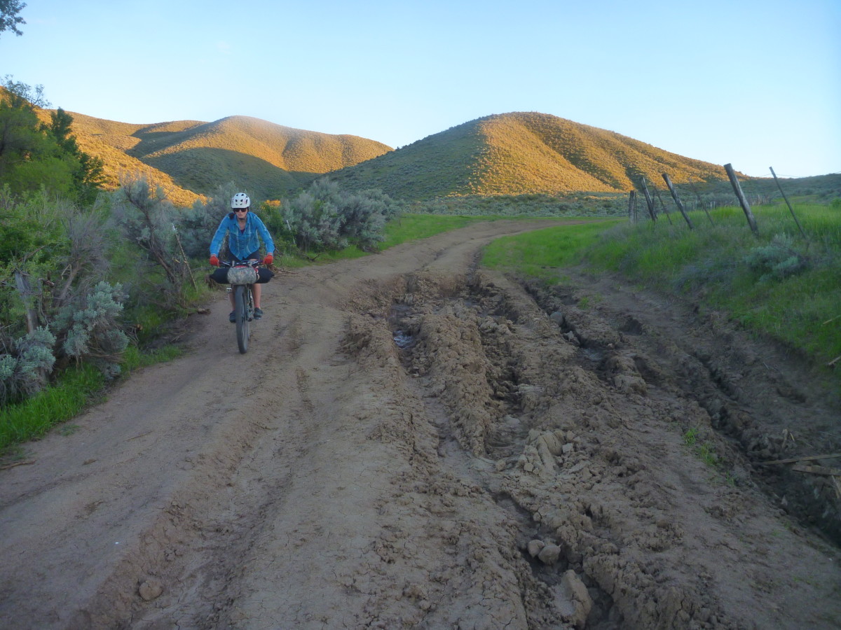
  • road surface is doable – could ride w/ 32 mm tires (mildly rough – washboards, sand and gravel)
  • gradual climbing
  • great shake down trip for new gear, new bike packers, new bikes etc.
  • plenty of water at various campgrounds along the way (or take a filter)
  • hot springs (is on the Adventure Cycling Idaho Hot Springs Route)
  • successful fishing


Categories
Bikepacking Our Trips

Colorado Trail Race 2017 Bike Setup

At 4:00am on Sunday, July 23, I’ll be among the group of bikepackers setting out from Durango to ride the 525 miles to Denver along the Colorado Trail.  This will be an adventure unlike anything I’ve ever undertaken, with challenges unlike anything I’ve ever faced.  The route is 60% singletrack and tallies nearly 70,000 feet of climbing, much of which will be hike-a-bike.  Average elevation is around 10,000 feet with a high point of 13,271 feet and several sustained sections above treeline.  The ruggedness of this route is difficult to overstate.  Bikepacking.com rates the CT’s difficulty as 9 out of 10.  Idaho’s Smoke’n’Fire 400 – probably the most difficult bikepacking route I’ve undertaken to date – scored a paltry 6/10.
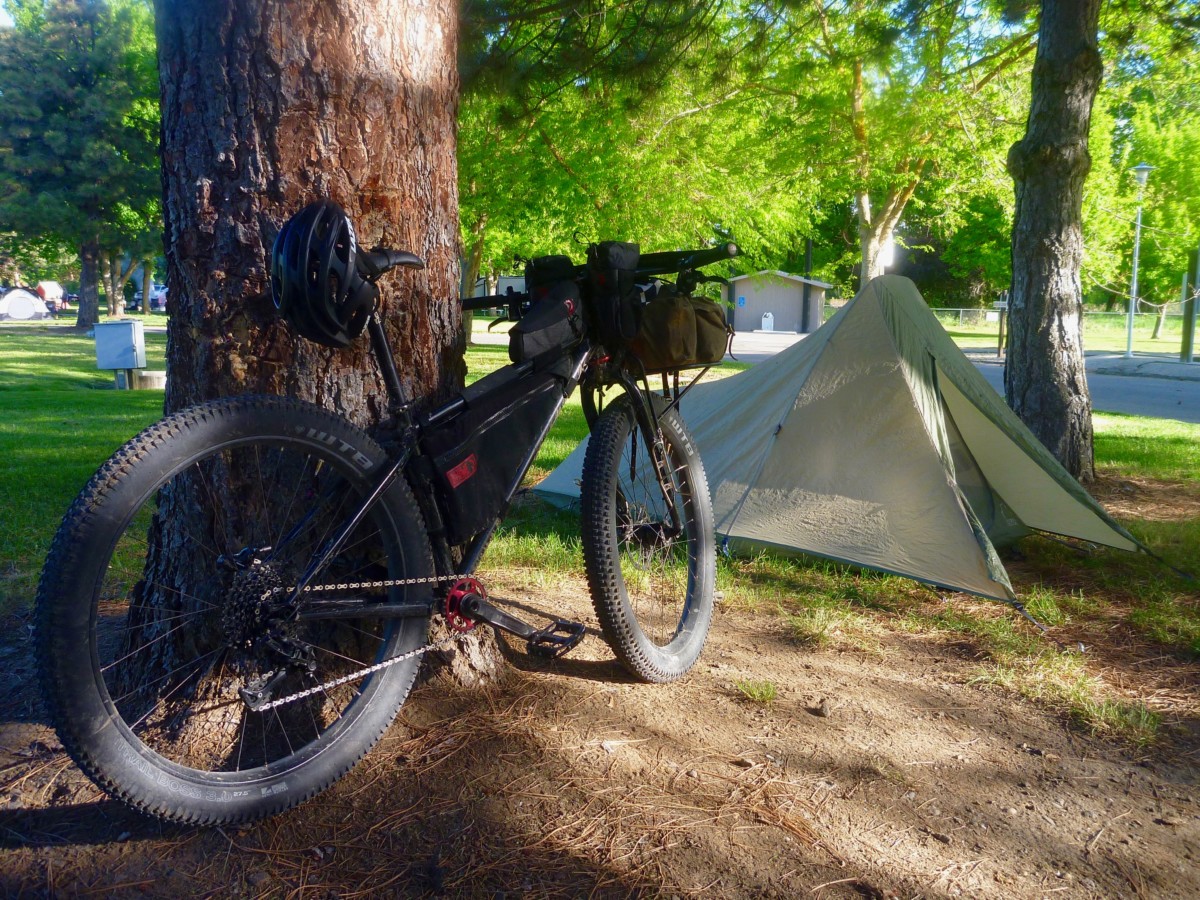
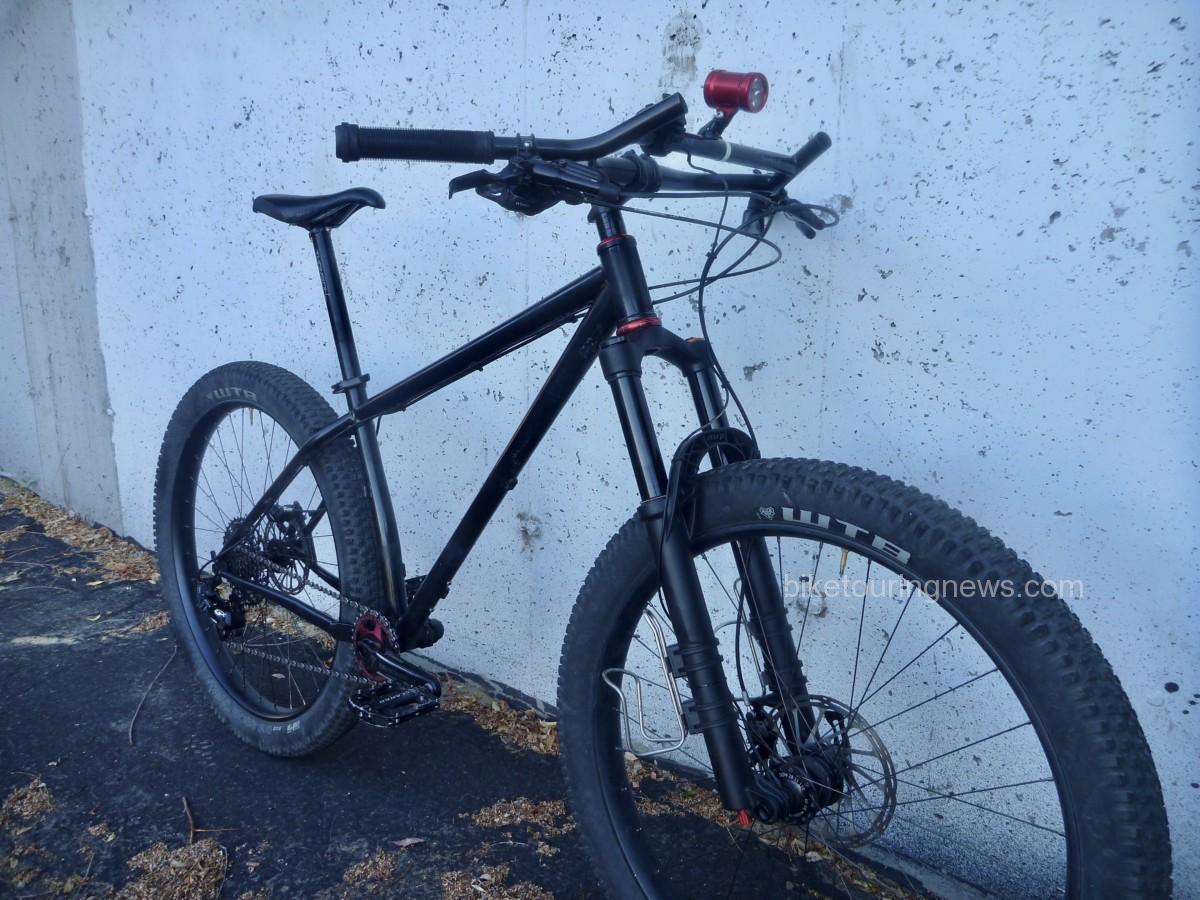
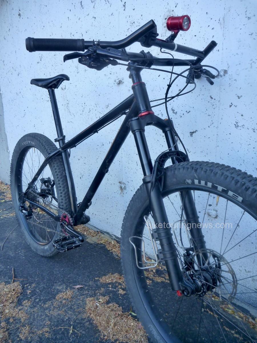
The relentless climbs and rugged terrain of the Colorado Trail demand a sturdy, reliable bike that is equipped for the rigors of alpine riding.  My rigid dirt touring bike – known as the Rando-Gnar – would be far outgunned on the steep, rocky Colorado Trail.  Many experienced CT riders say they would never ride the route on anything other than a full-suspension bike but it has been completed (and rather quickly) on rigid singlespeeds as well.  For me, the extra cost, maintenance, failure potential and packing difficulties presented by full-suspension outweigh the potential benefits.  A good hardtail would have to do.

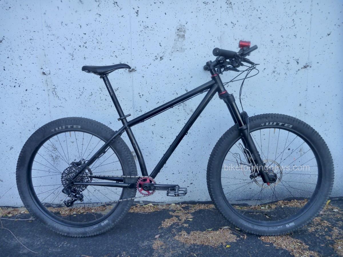
While the CTR was the catalyst for the Ninja Gorilla’s construction, this is by no means a CTR-specific bike.  Overall, I wanted to build a bike that would serve well on the CT but would be ideal for rugged, trail-heavy bikepacking adventures closer to home.  When Surly announced their redesigned Karate Monkey built around a 650b wheel and 3″ tire (aka 27.5+, B+, mid-fat…) I knew it would be the first choice for my high-altitude bikepacking rig.  I was fortunate to score one of the first framesets to hit the market and started ordering the rest of the build kit as finances allowed.  The Ninja Gorilla took its maiden voyage in late April and has been a killer ride ever since.
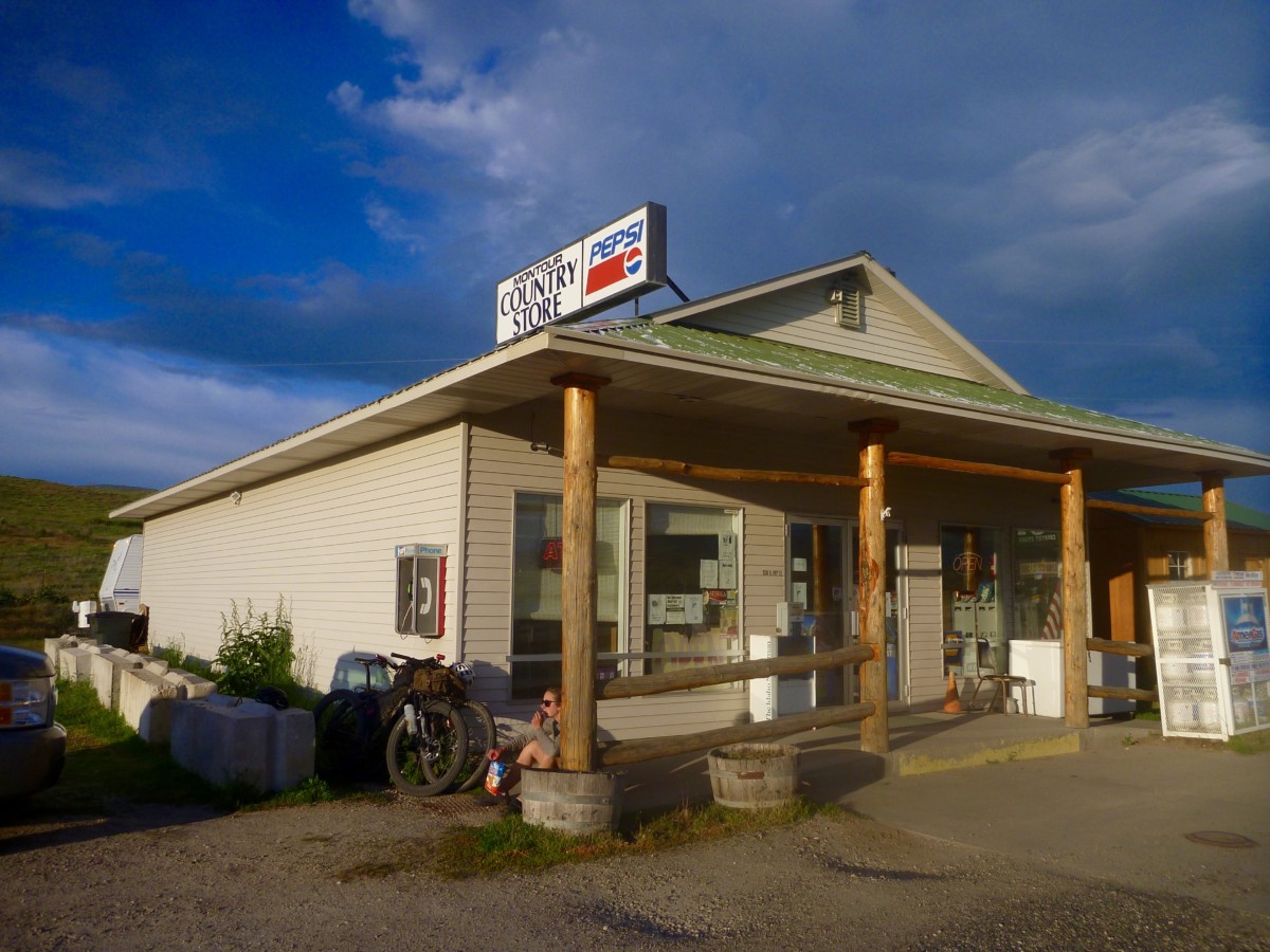
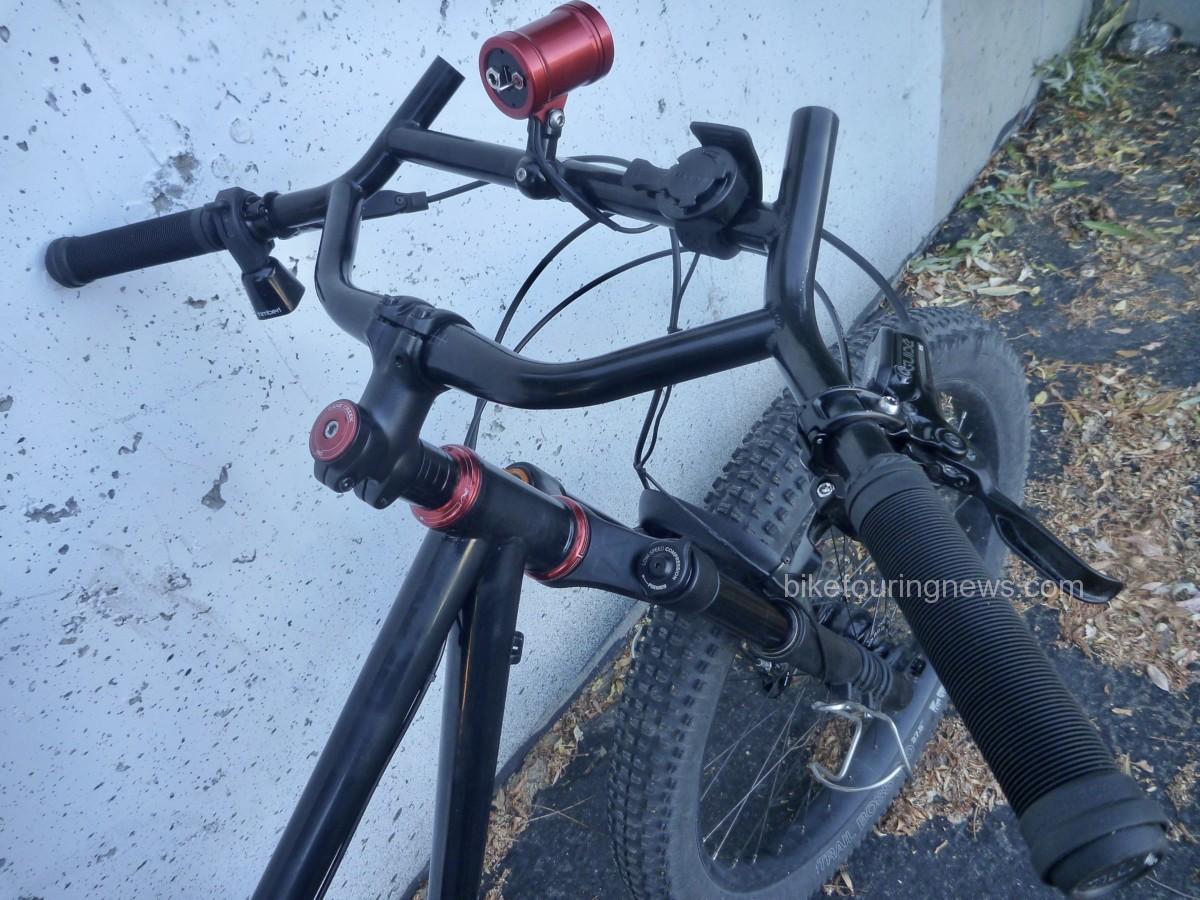
Surly’s Moloko bar provides a useful range of hand positions and gear attachment options.  Clocking 35 degrees of sweep and 735mm of width, these are an alternative to the Jones Loop-H Bars on the Rando-Gnar that provide a fit and feel more similar to traditional riser bars.

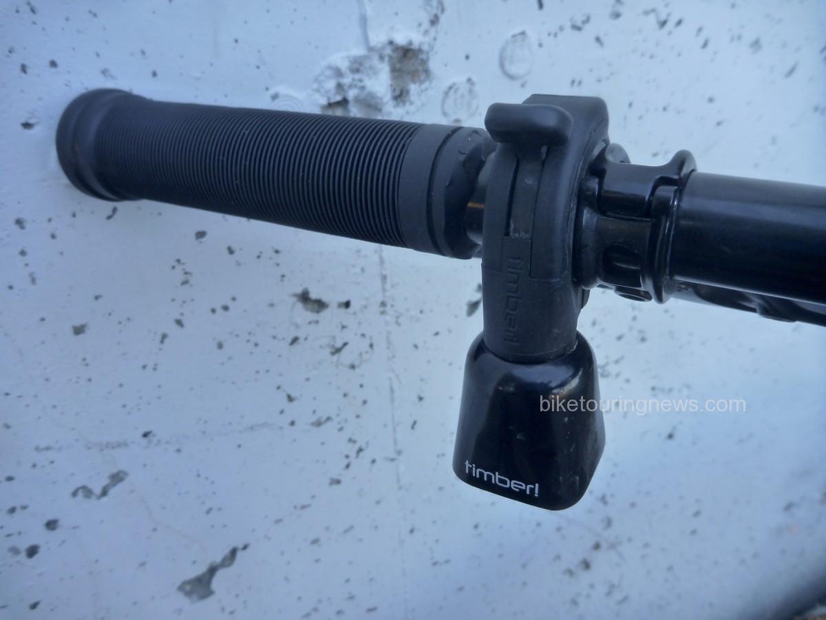
No component on this bike provides more smiles per dollar than the TimberBell!  Push down on the lever to release the clapper and allow the bell to ring with the motion of the bike.  Pull the lever back up to silence the clapper.  Dawn patrol rides have been a regular component of my preparation for the CTR.  Those early morning hours can often be surprisingly busy as folks hustle to fit in their rides, runs or walks before work.  I’ve generated many more smiles with the TimberBell’s pleasant, passive ring than with the kindest “Good morning!” I can muster.  Every now and then I’ll release the clapper and jingle my handlebars just for fun or for a morale boost on a tough climb.  You can’t help but smile when the TimberBell rings!

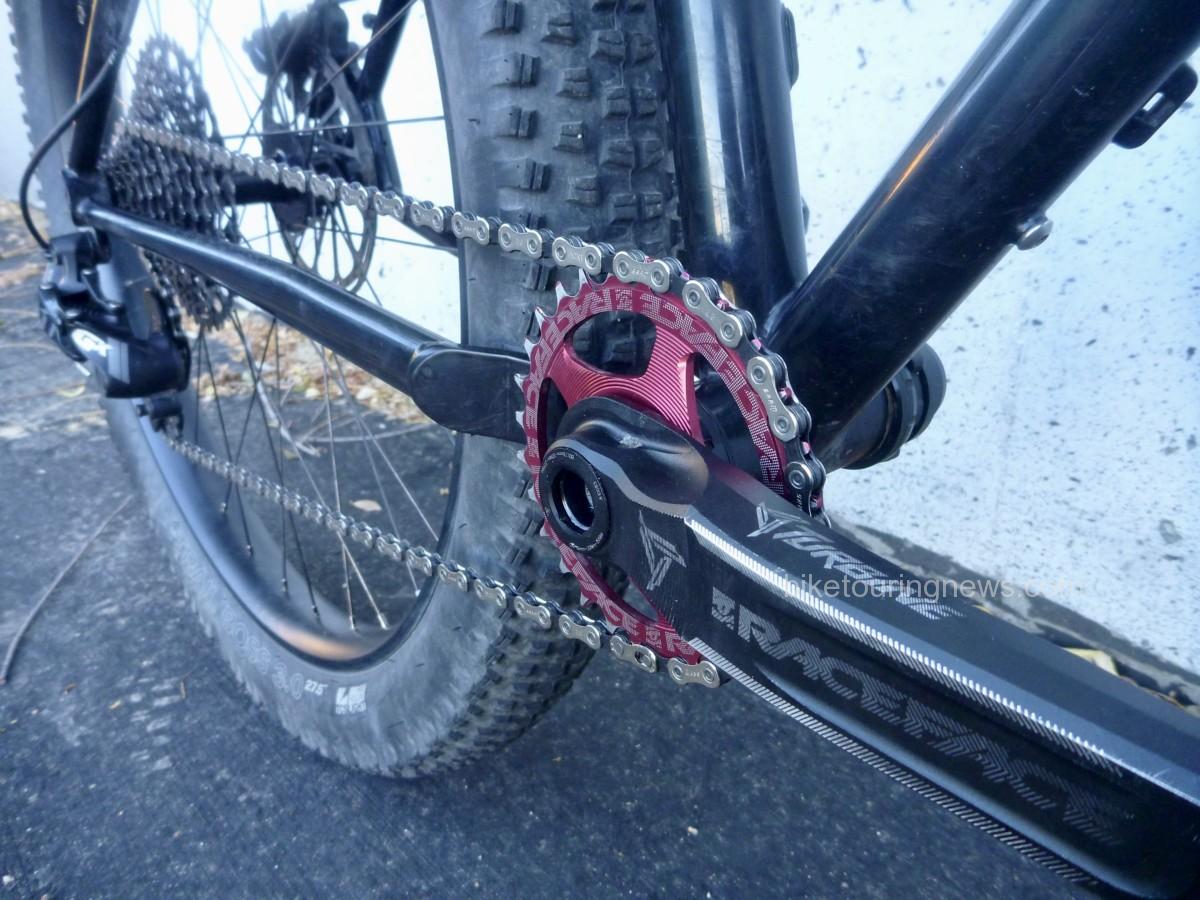
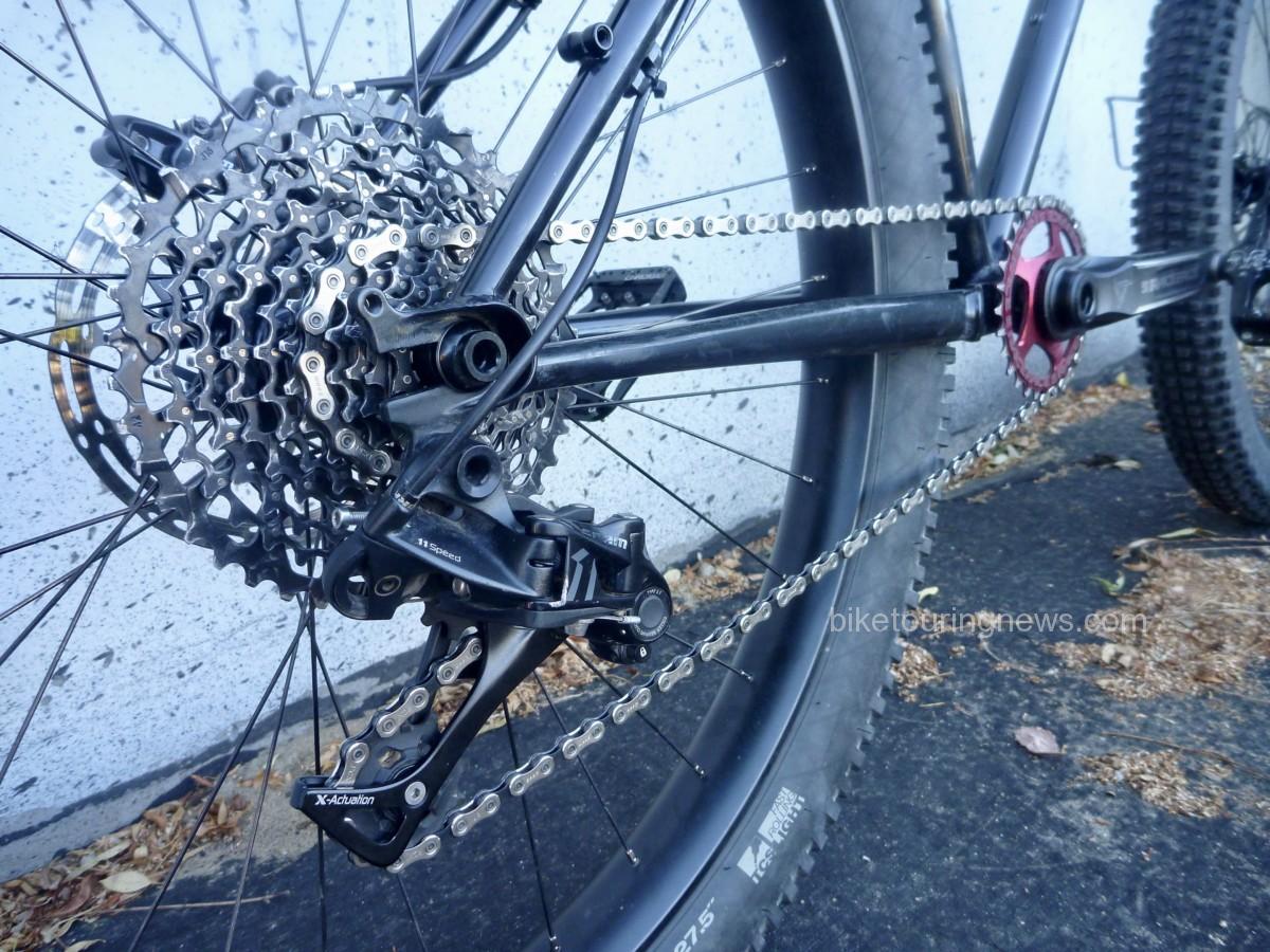
Drivetrain.  Boring.  It’s Sram GX 1×11 with a Race Face crankset, 28 x 10-42t.  I chose Race Face’s Turbine Cinch for its wide range of chainring and spindle options, strength to weight ratio and good looks.  The direct-mount chainring offers smaller tooth counts than spidered systems, so I selected a 28t ring to lower my range slightly.

The SRAM XG-1150 cassette features 100% steel cogs with pinned construction, delivering the shifting performance of higher-end 11-speed groups with improved durability, a minimal weight penalty and a much more affordable price.  This is the advancement that has brought 1×11 groups into the everyman’s price point.

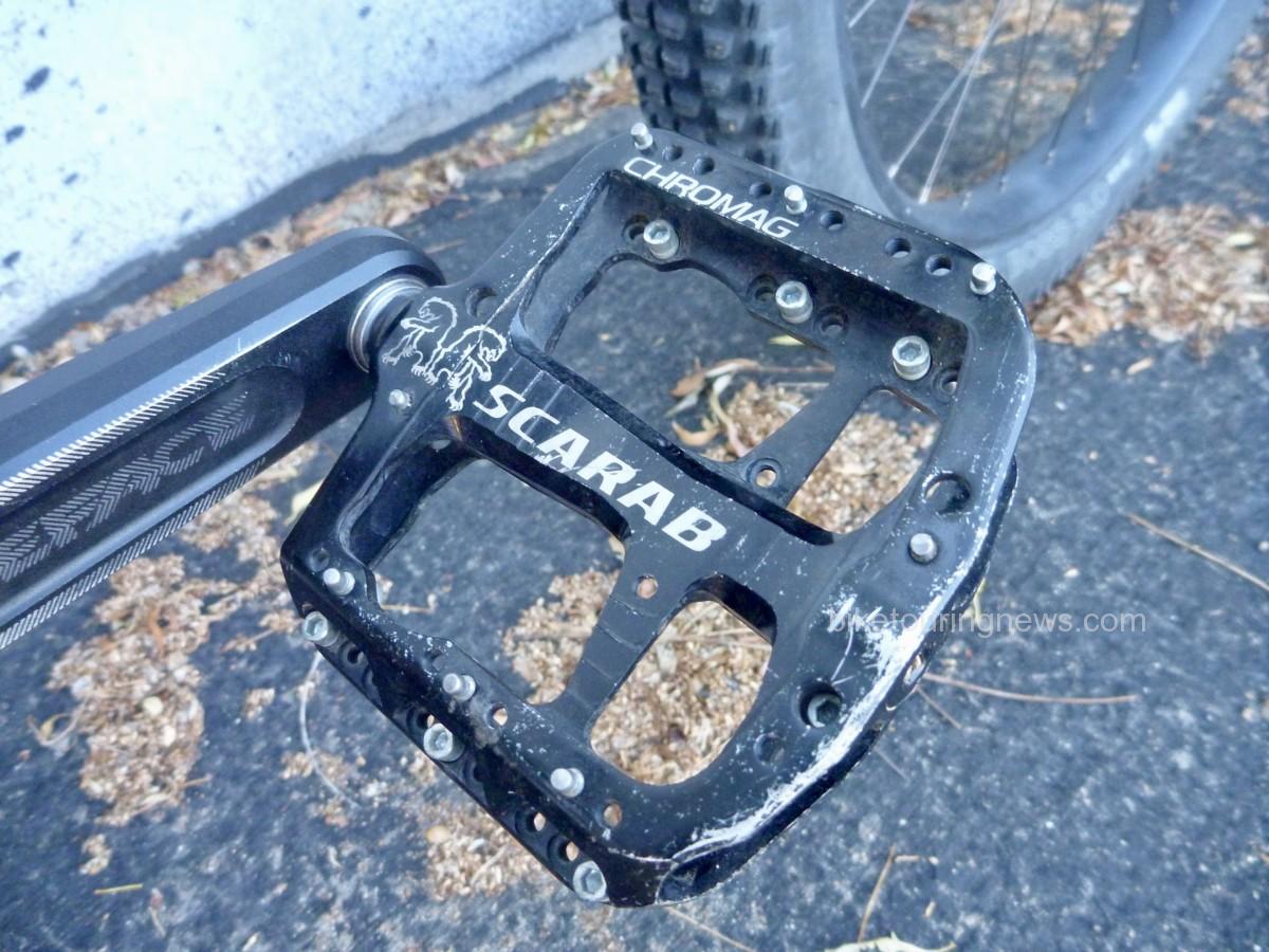
With rare exceptions, I’ve ridden flat pedals exclusively for the past 2 years.  Chromag’s Scarab pedals are some of the smoothest and most comfortable I’ve tried.  Their thin, concave body cradles the foot and the multitude of pin positions provide customizeable traction.  The walkability of flat pedal shoes and the ability to vary my foot position on the pedals over long days in the saddle far outweigh any efficiency benefit provided by clipless.  The ease of dismounting, remounting and hike-a-bike comfort all combine to make flat pedals ideal for me on bikepacking trips.

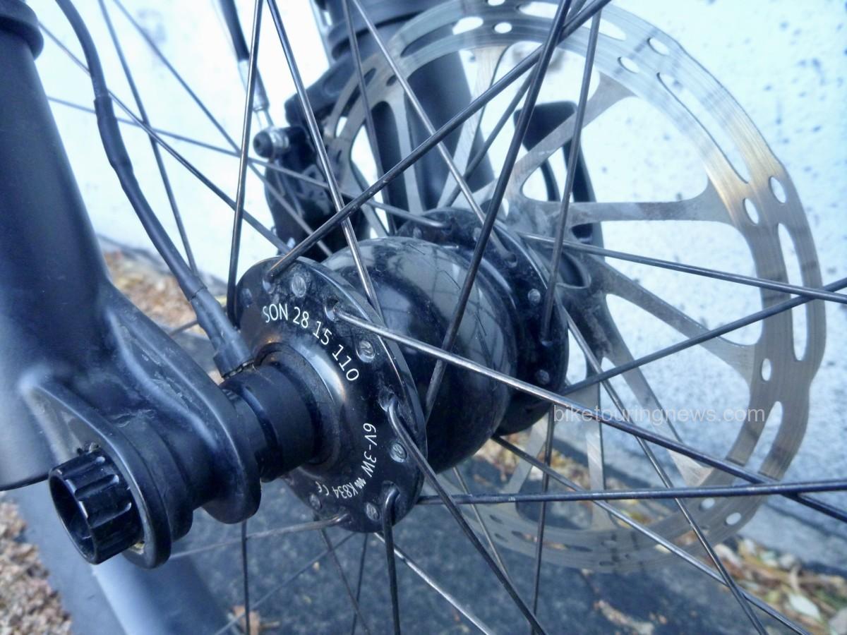
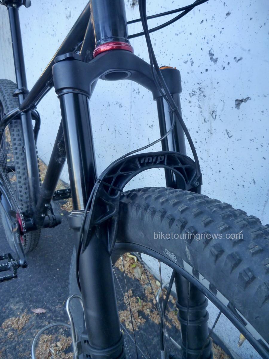
The hand-built wheelset features WTB’s Scraper i45 rims (debadged) laced to a DT Swiss 350 rear hub and a SON28 dynamo up front.  DT’s star ratchet freehub and quality cartridge bearings are legendary for their reliability, as are Schmidt’s dynamo systems.  Many riders eschew the dynamo for the CT and similar singletrack-heavy routes as speeds are generally too low to provide consistent power output.  However, I knew I’d be using the bike for much more than just the CT and dynamo power would be worth the extra investment.  Honestly, if I could have a dynamo on every bike I own, I would.  Maybe one day…

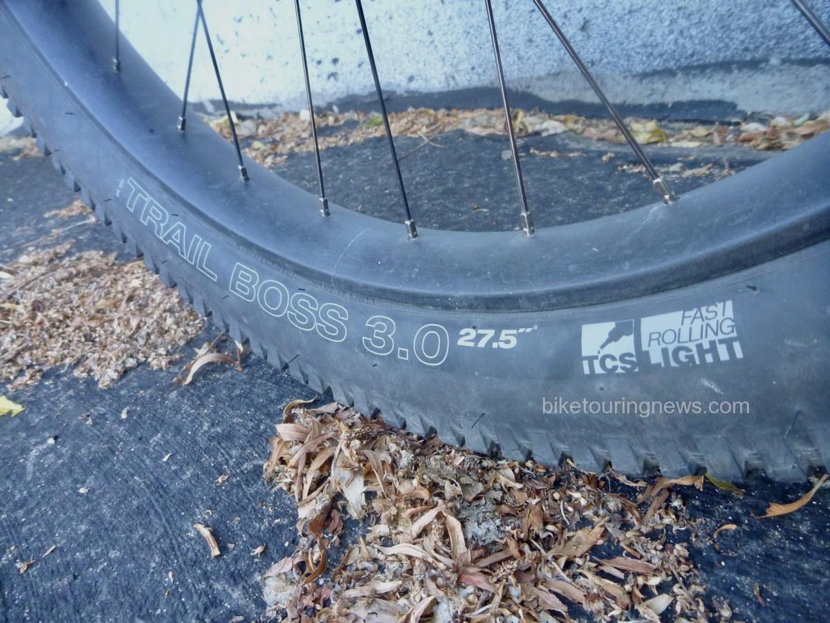
I chose WTB’s Trail Boss tires for their even tread pattern that rolls well on dirt roads or two-track but with the cornering knobs to keep the bike on track in the sketchy stuff.  Many riders and commenters recommend reinforced casings for the CT, so I’m hoping to get away with the “light” sidewalls.  Tubeless setup on the Scraper i45 rims was flawless and has been trouble-free with no burping or loss of air.

Even with the stock steel fork, this is an impressively capable bike.  The 3″ tires steamroll rough trail and provide excellent traction.  However, you won’t forget you’re on a rigid bike, especially on fast descents.  I knew that I’d want a suspension fork to keep my front wheel on the trail when things get dicey.  With the MRP Ribbon fork installed, this beast takes on a completely different character.  Assembled (and partially fabricated) in Grand Junction, the Ribbon is designed with high-altitude adventure in mind.  This is easily the most adjustable, highly tuneable suspension fork I’ve ever experienced.  Setup is relatively straightforward, even with the multitude of possible adjustments.  Following MRP’s guidelines, I was able to dial in a setup that rode high in the travel and maintained a bottomless feel while still providing some suppleness over small bumps.  Travel is smooth and plush with very little seal friction, even right out of the box.  The OutCast arch lends sculptural appeal and makes this fork unmistakable, even with the decals removed.  With the appropriate crown races installed, swapping back and forth between rigid and suspension forks is a relatively simple task, allowing me to dial in my setup for a variety of future trips.

The Sinewave Cycles Beacon headlight is the icing on the cake of this build.  For the pavement or dirt road rider, dynamo lighting had already advanced to a very high level.  Busch + Muller, Schmidt and others make excellent lights that are ideal for those speeds and terrain.  However, the trail rider has mostly been forced to rely on battery-powered lights that provide the broad, even illumination required to navigate off-road terrain safely and confidently after dark.  In addition, singletrack speeds are often insufficent for a dynamo light to provide consistent output, resulting in annoying flickering or even total loss of light.

The Beacon solves these problems.  With a wide, symmetrical beam pattern, this light provides plenty of illumination around the fringes of the trail.  It also incorporates a power input feature to provide stable lighting no matter what your speed.  Simply plug in your external battery using the included cable and flip the switch up for the full 750-lumen output or down for medium power.  The Beacon draws from the battery as needed but the dynamo provides more power as speed increases, eventually taking over completely preventing unnecessary battery drain.  A USB charging output is supplied as well, allowing you to charge your battery or other devices when speeds allow.

Having grown accustomed to the fork-mounted cages on the rigid fork, I knew I’d want to mount cages to the suspension lowers to maintain my water capacity.  Zefal’s new Gizmo cage mounts provide rock-solid attachment points.  As far as I’m concerned, King Cage’s stainless bottle cages are the only cages worth owning.

Overall, I’m absolutely stoked on this bike.  It is far and away the most capable, versatile mountain bike I’ve ever owned.  While it isn’t a bargain build, there also aren’t any blingy parts or unnecessary fluff.  Components were chosen for an ideal blend of affordability and reliability.  The only exception may be the Cane Creek 110 headset.  I’ll admit it; I paid the premium price over the more affordable 40-series because it came in red.

While anything could happen out there, I’m 100% confident in the Ninja Gorilla and know that it won’t be the bike’s fault if I struggle on the Colorado Trail!  I’ll be going through my gear and packing setup in my next post, so keep an eye out for that in the coming days.  As always, thanks for reading and feel free to share your thoughts, questions or personal experiences in the comments below.