Categories
Bikepacking Idaho Our Trips

“Diamond A Desert” by Bicycle

“drink muddy water, sleep in a hollow log”
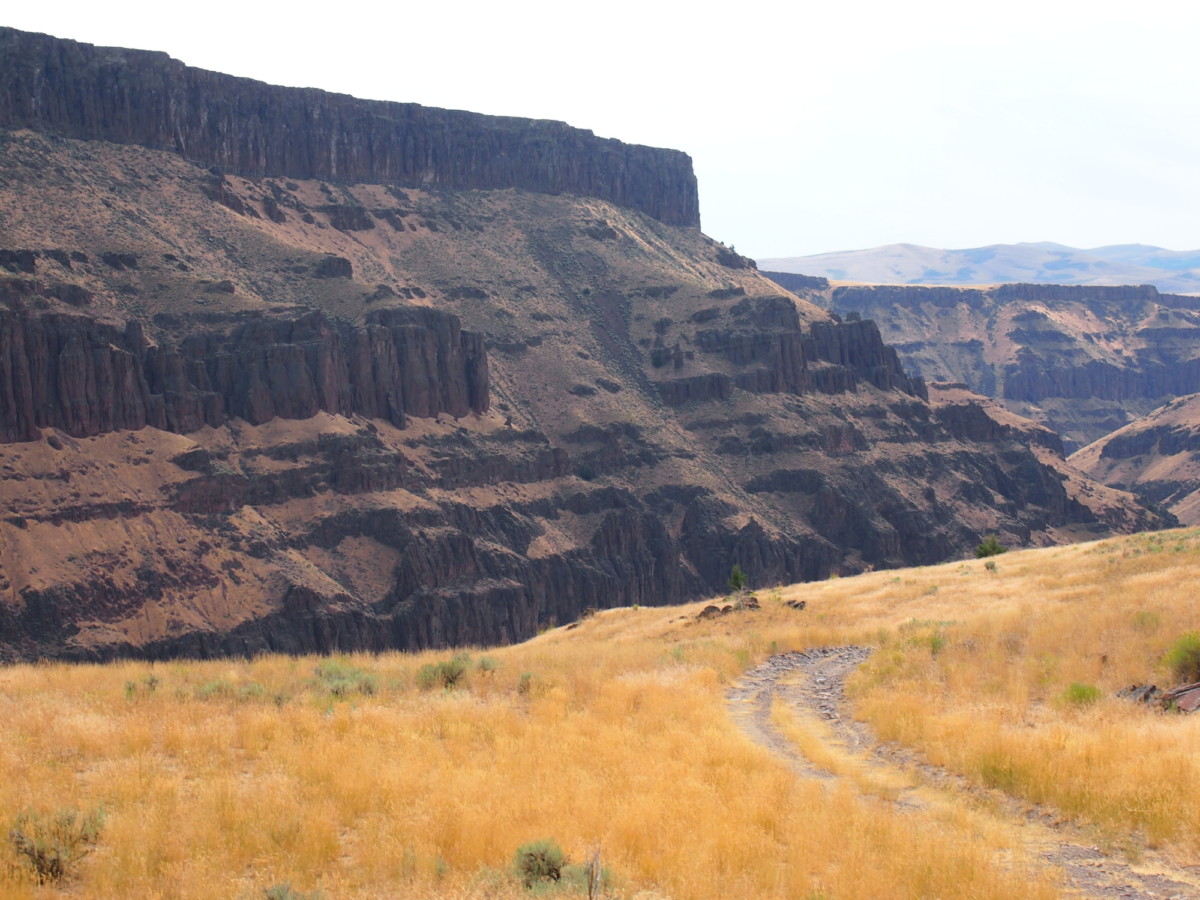
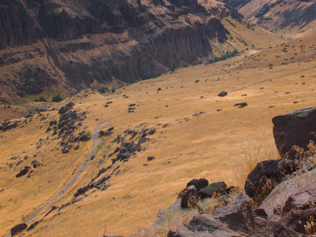
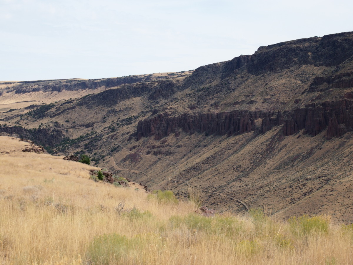
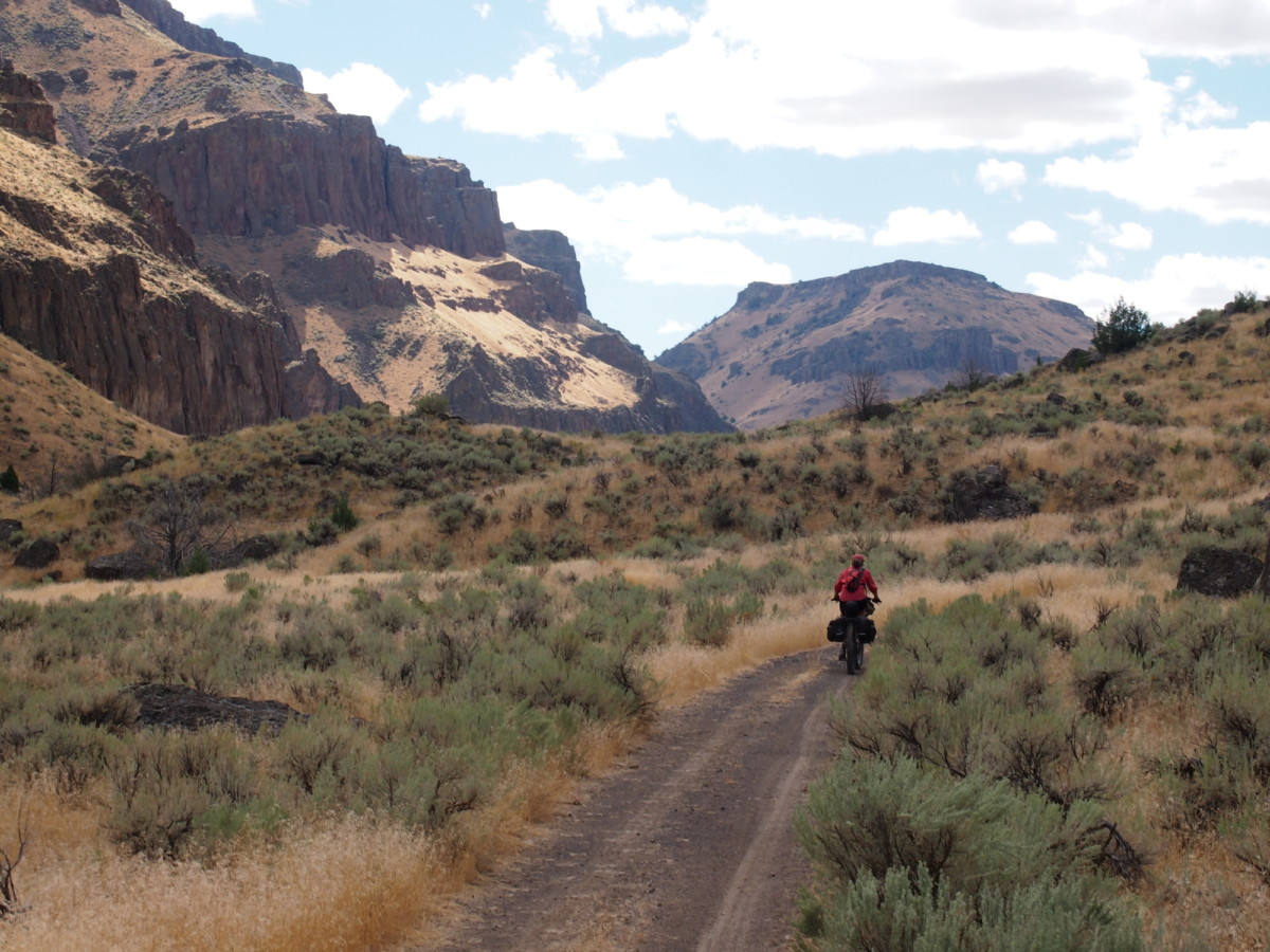
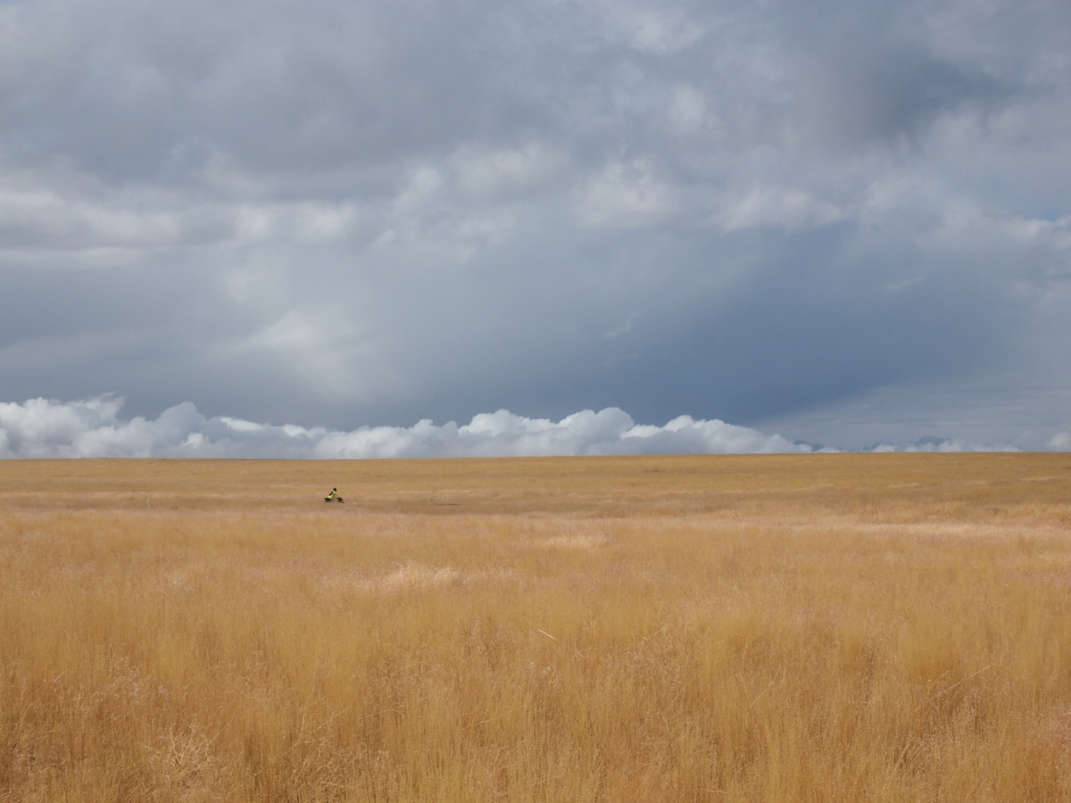
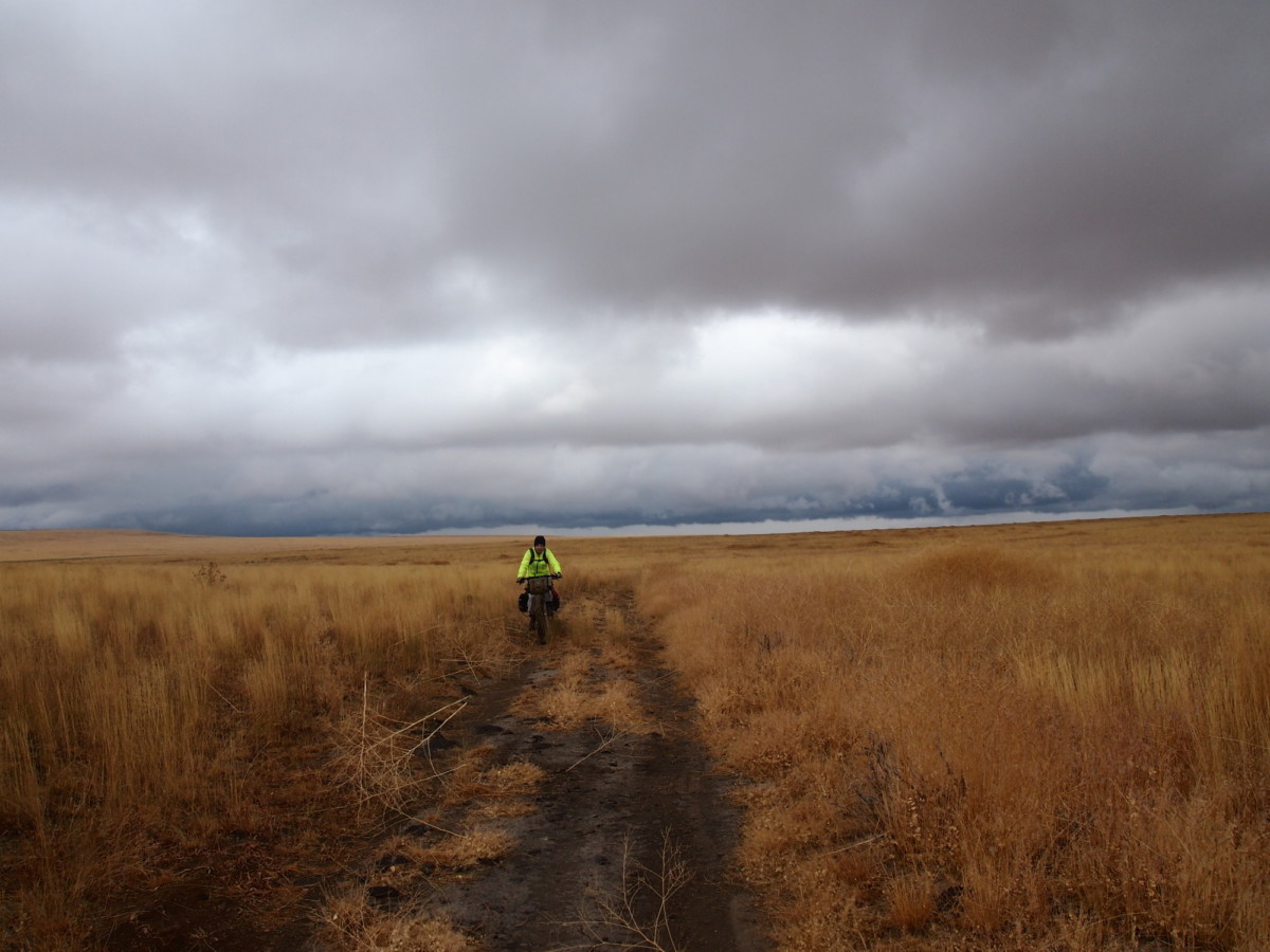
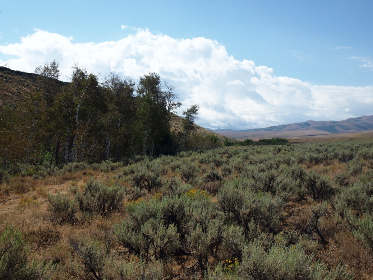
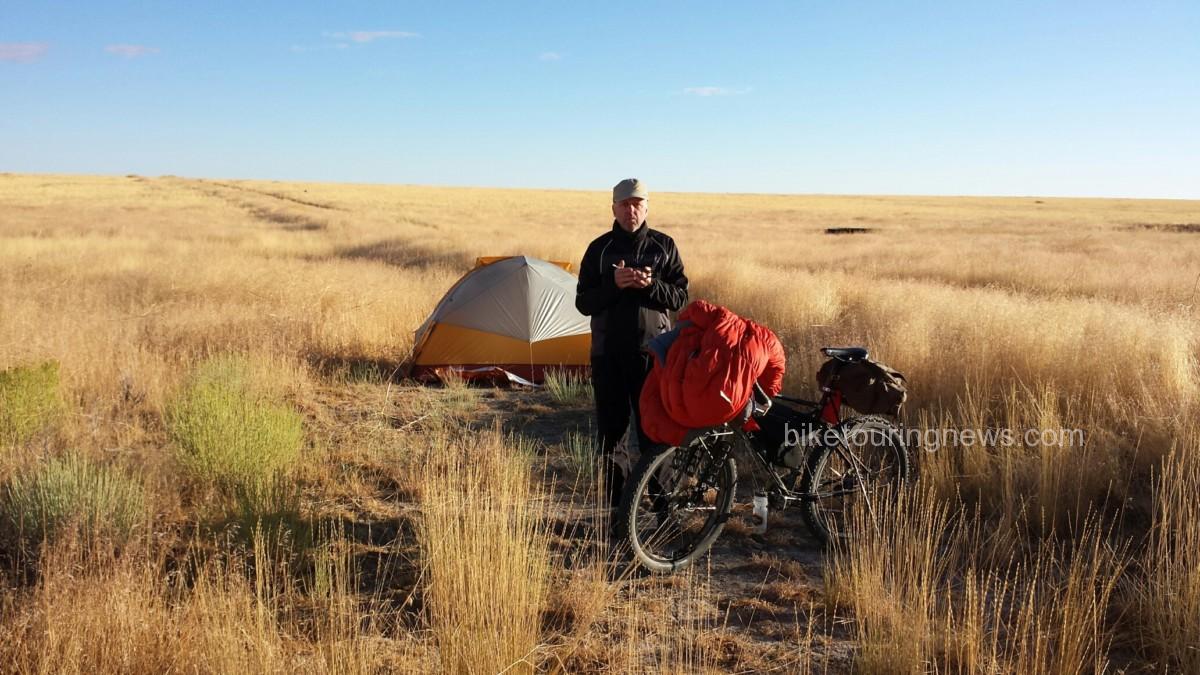
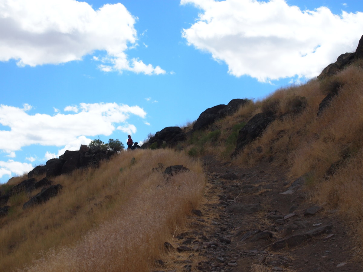
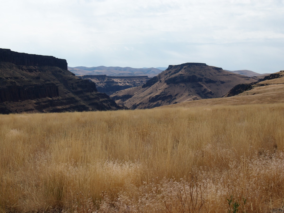
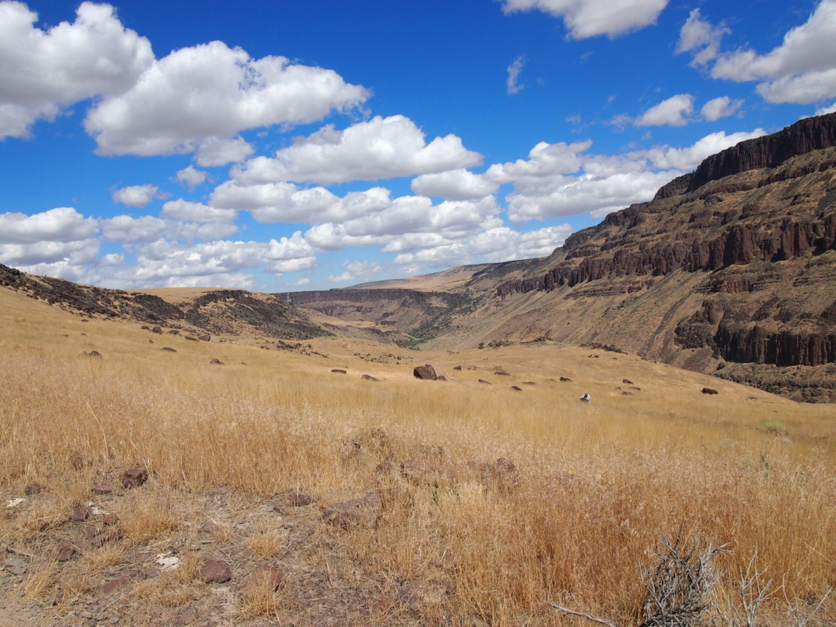
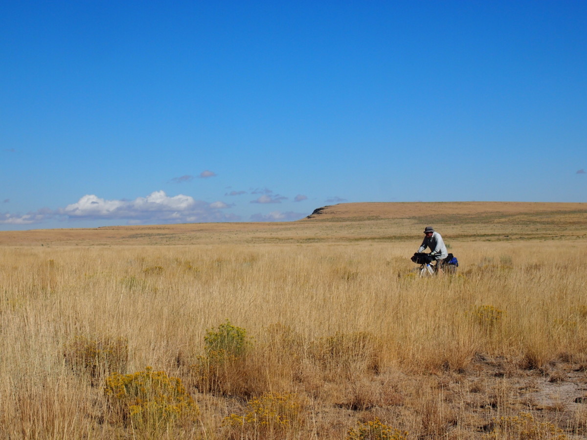
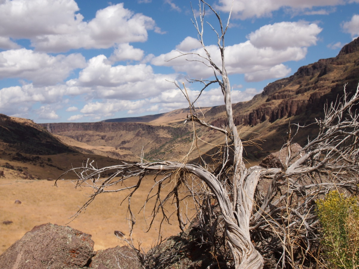
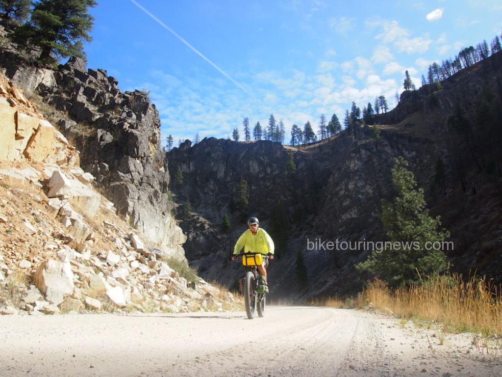
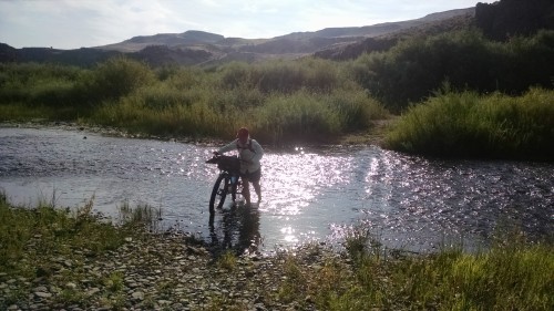
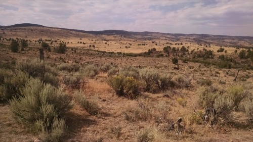
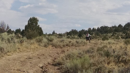
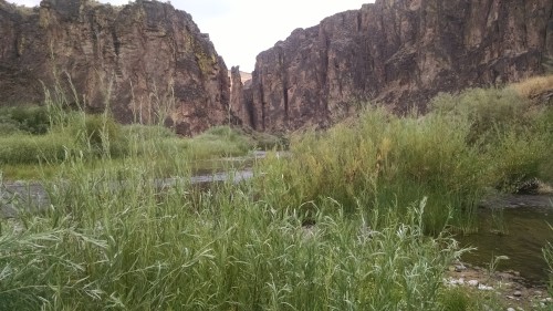
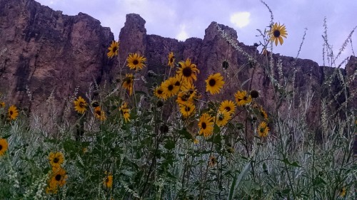
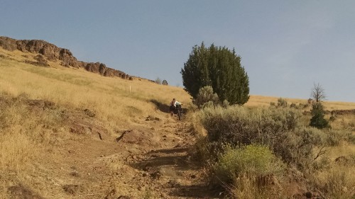
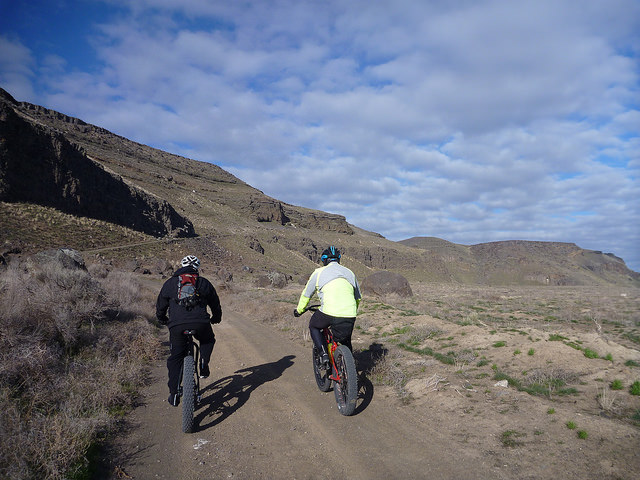
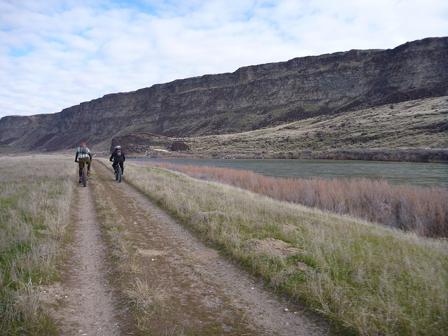
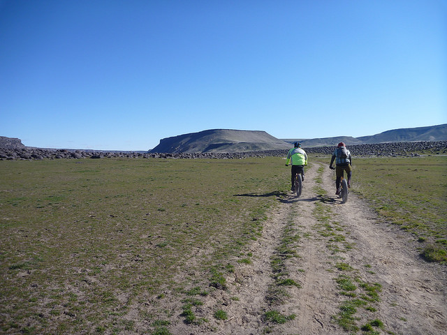
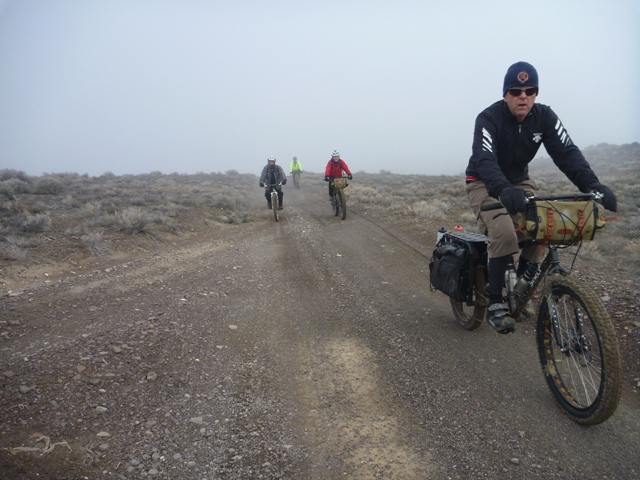
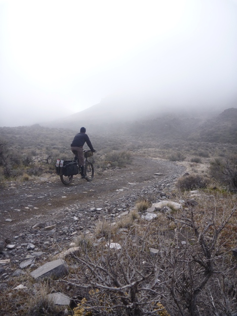
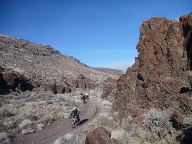
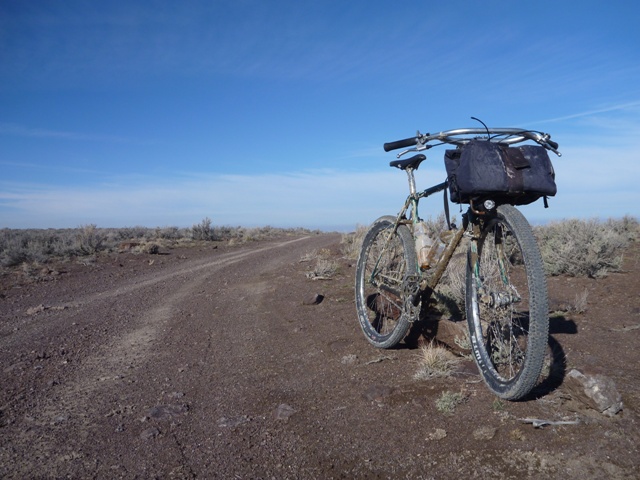
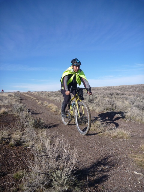
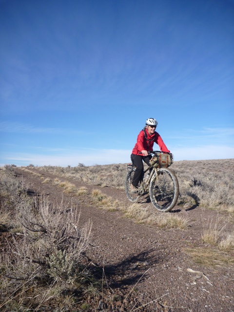
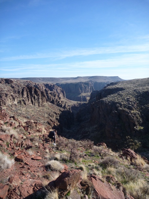
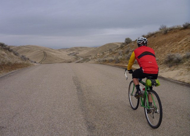
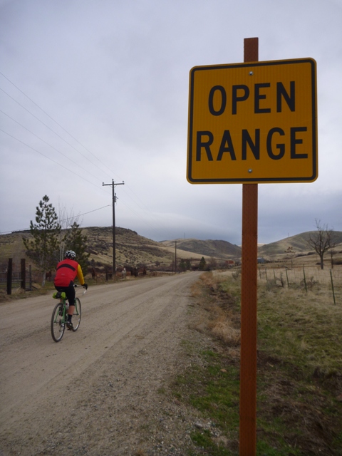
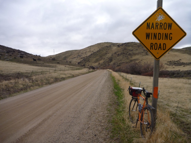
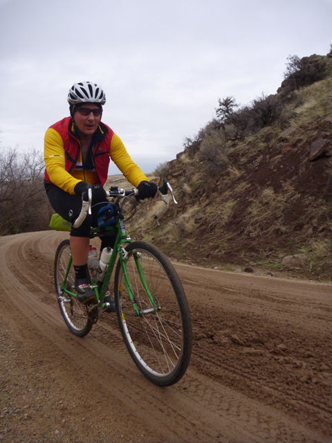
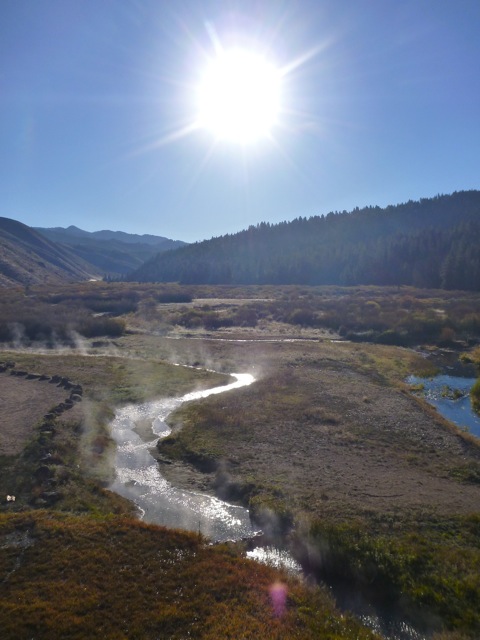
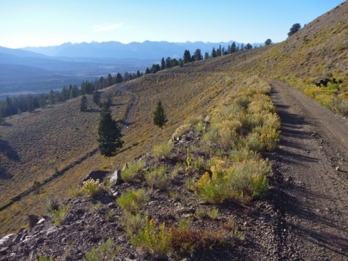
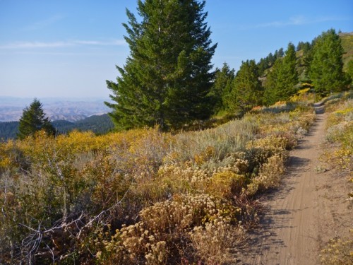
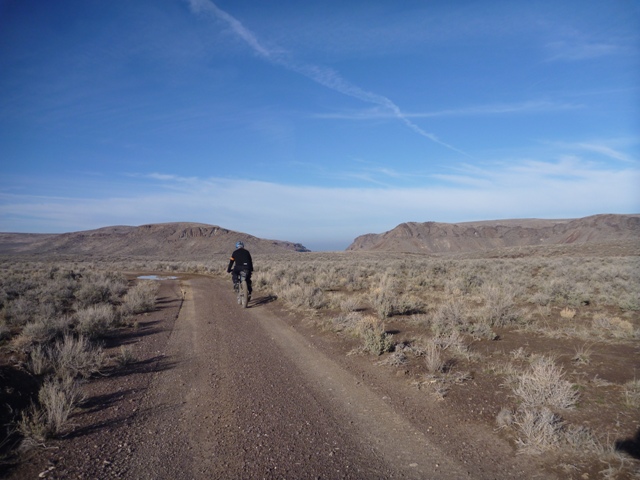
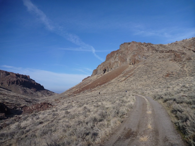
Three of us set out on the bicycles to find Arch Canyon in the Bruneau Jarbidge Rivers Wilderness. On day one we missed our turn and ended up at Dead Horse Spring. The next day we saw a dead horse, got disoriented and lost our way, traveled through the high desert with thunderstorms and were rescued (indirectly) by ATV’s. On the last day we found the road we meant to take the first day. We never made it to Arch Canyon but we found exactly what we were looking for.

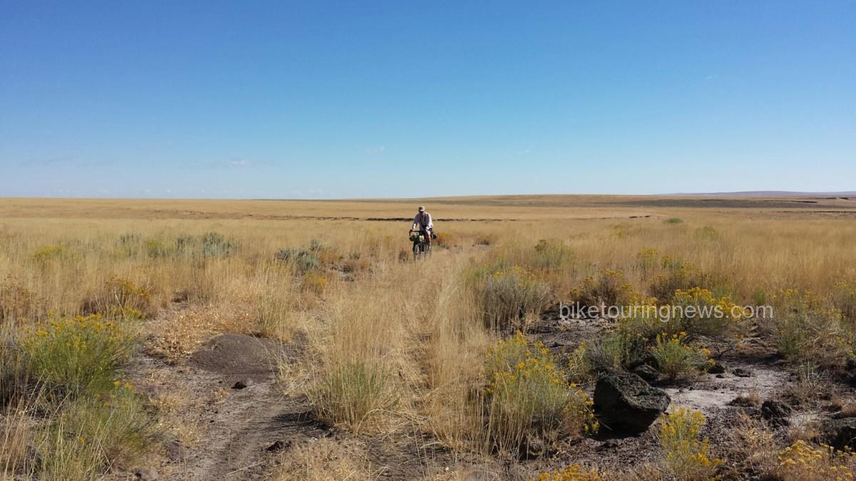
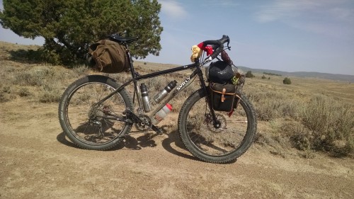
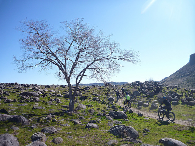
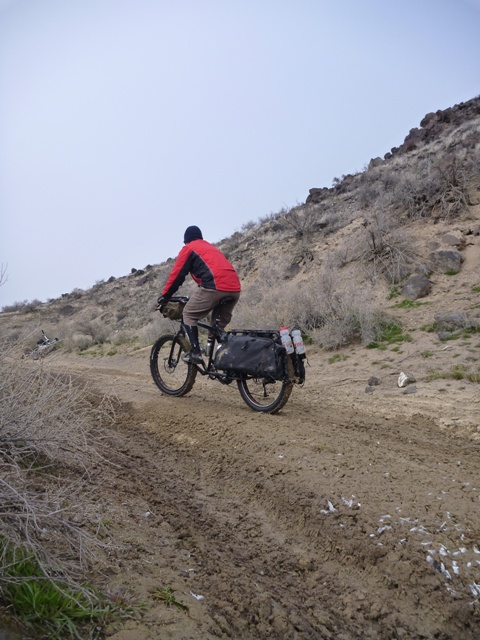
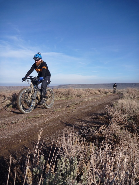
bicycle in the desert

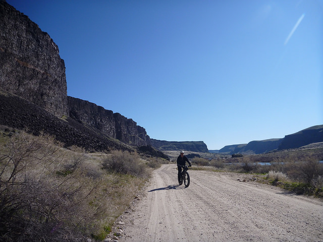
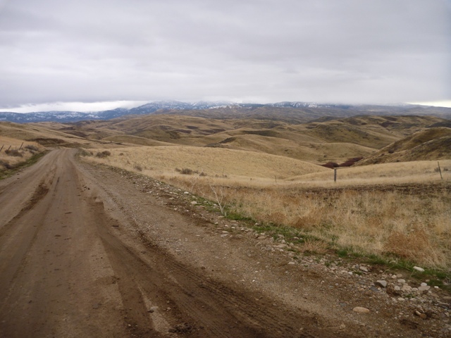
canyon road

Bicycle in the canyon

Road out of canyon

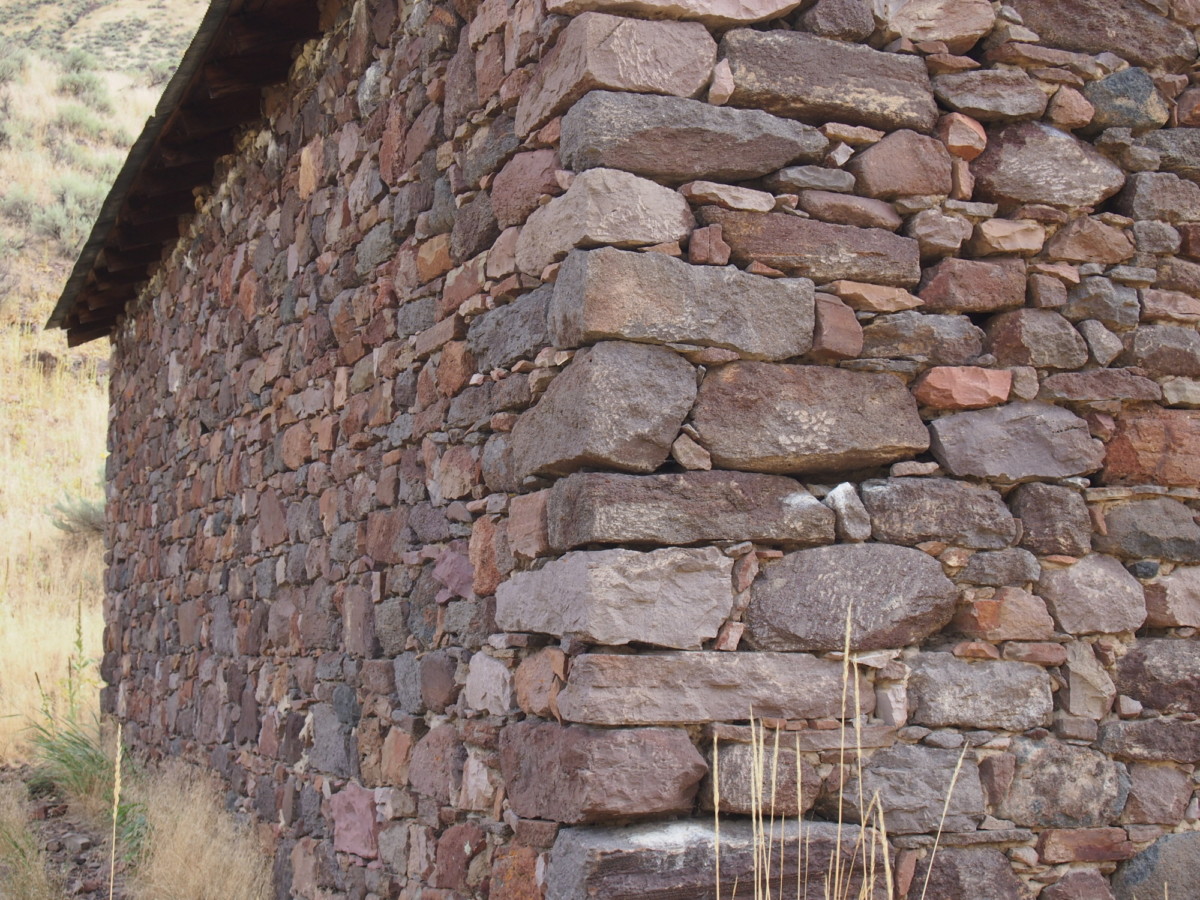
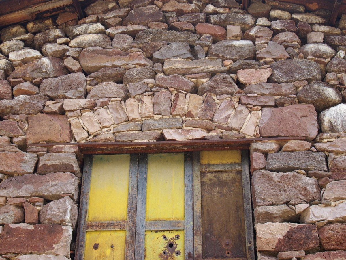
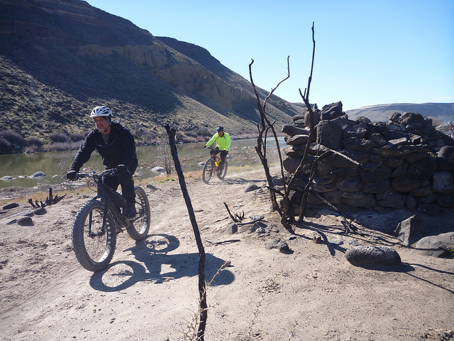
Fine stone work

Old Stone Building

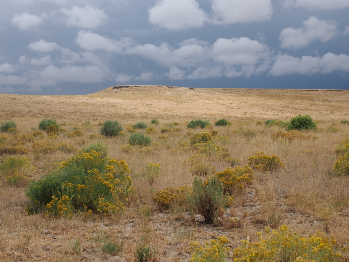
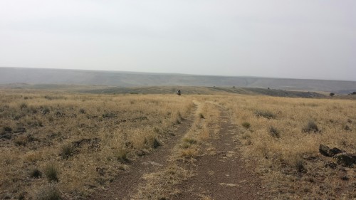
desert track

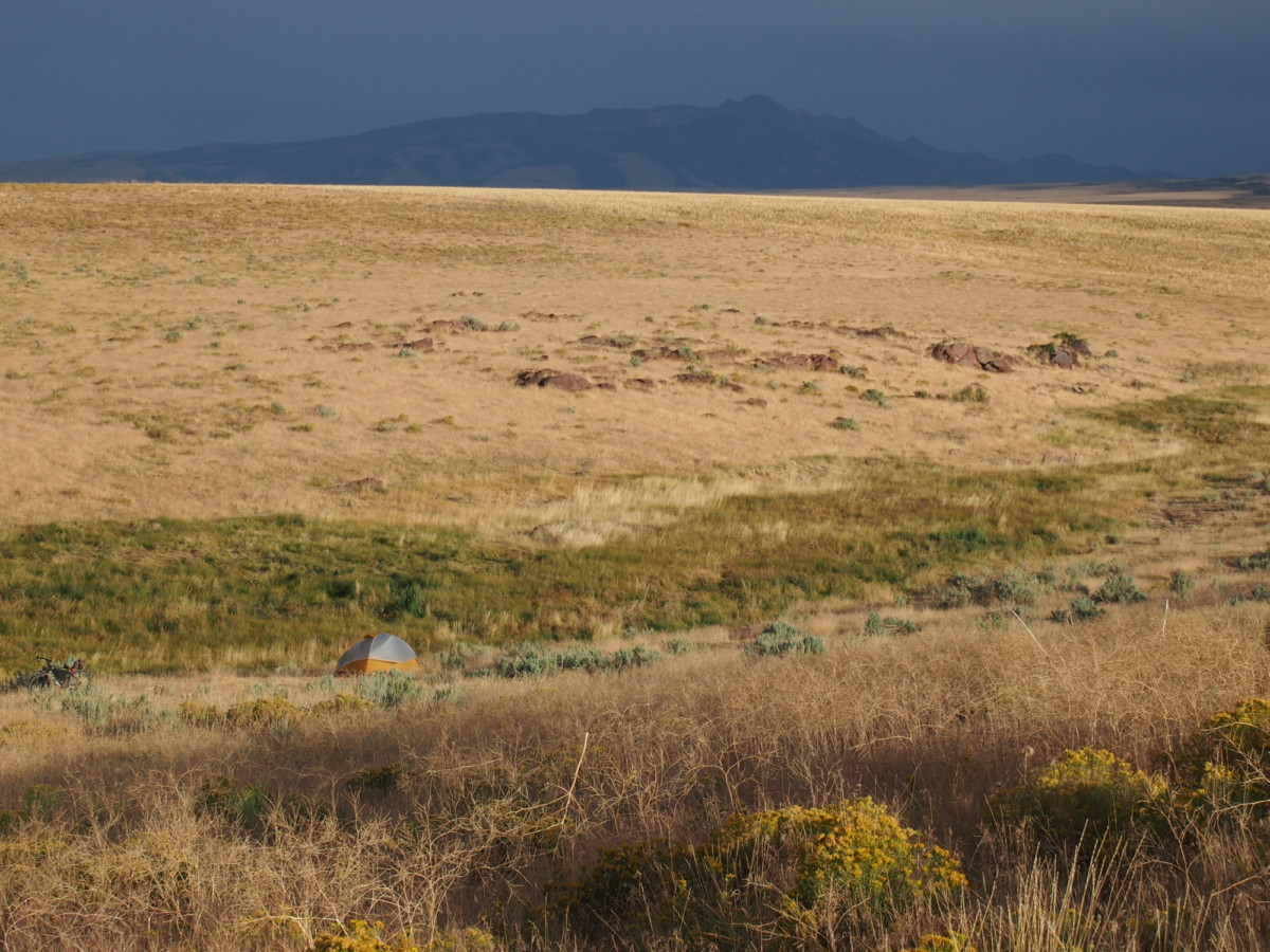
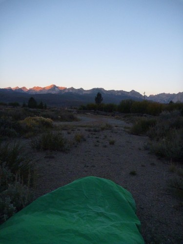
Desert camp

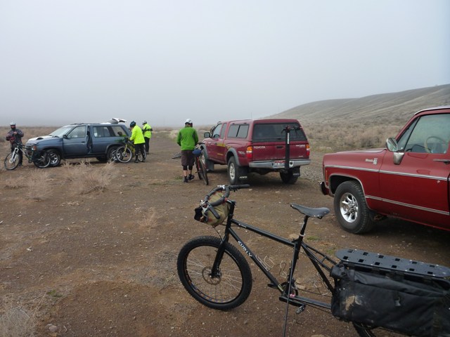
Dead Horse Camp

Light and sky bike packer

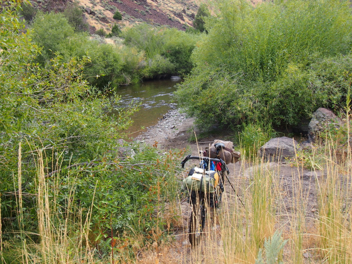
river crossing

field of weeds bikepacking

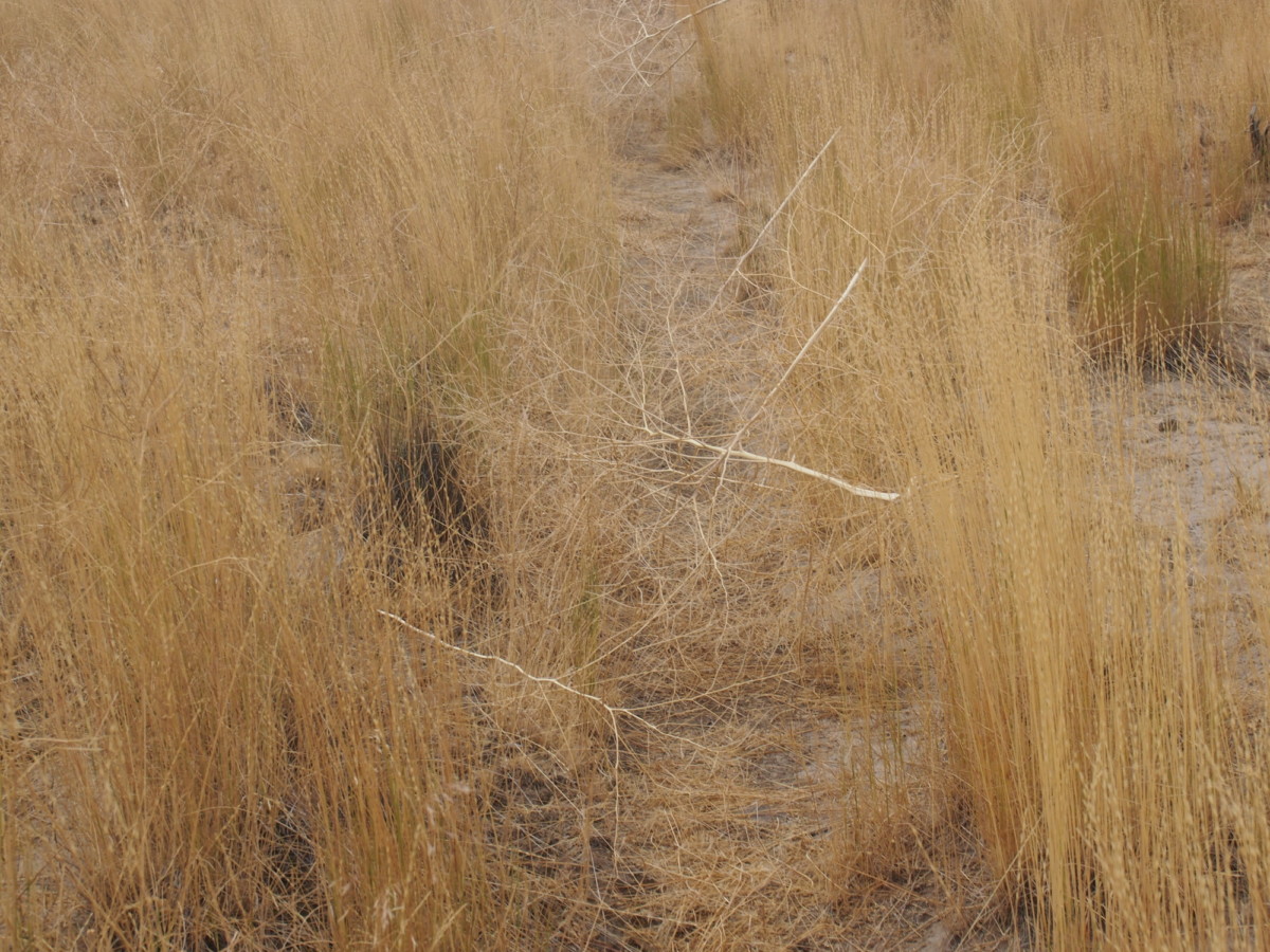
tumbleweeds

rays

thunder clouds

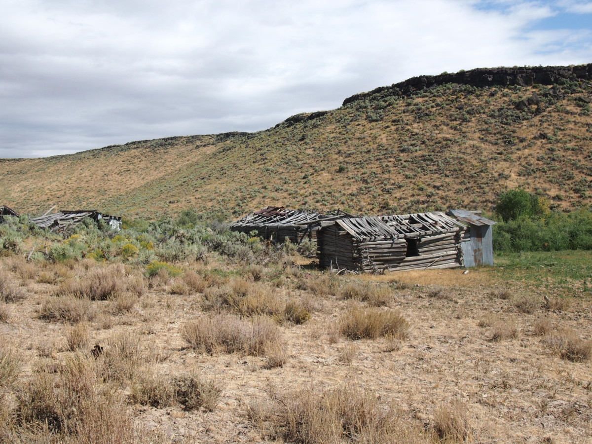
Desert ruins

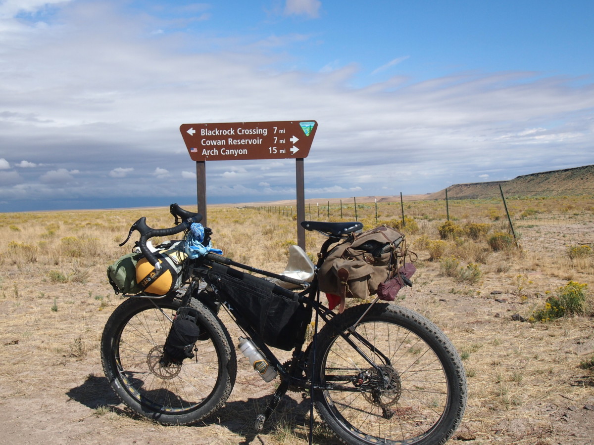
Sign to Arch Canyon

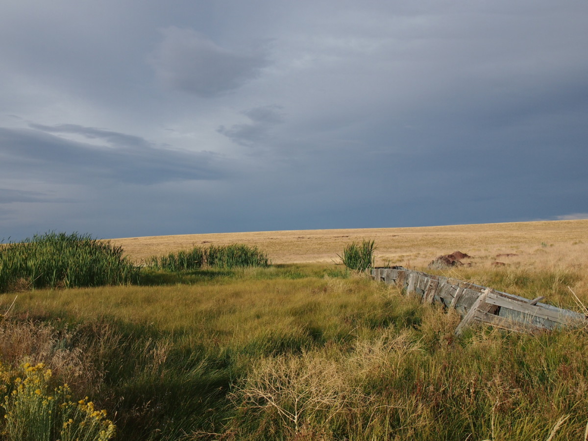
Desert Spring

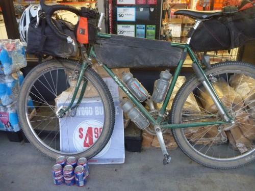
Bike Hermit at home

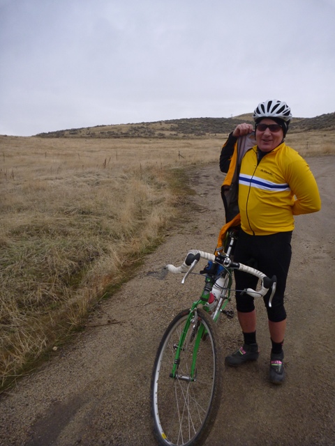
Bikepacker

Canyonlands

P10153031

More weeds. 150 years of cattle grazing will do that.

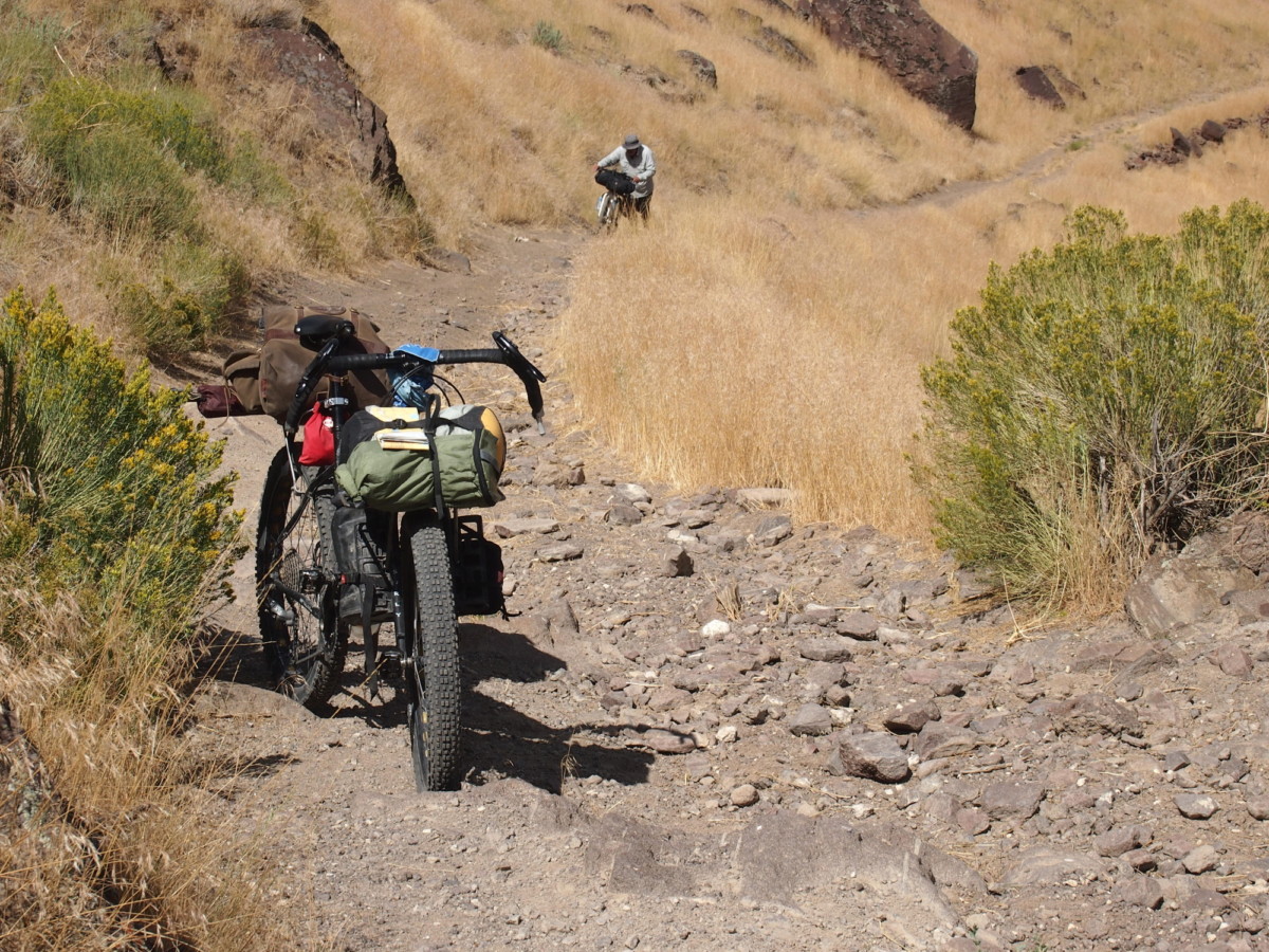
Pushing Bicycles

canyonlands

So, what did we learn?
On the way back to the vehicle we were wishing we had left trail markers at the various Y’s in the road. The route we had taken on the way in was not always apparent, especially after the rain, and landmarks look different approached from the opposite direction. We didn’t really learn it on this trip but the need to filter water at every opportunity and to seek out water sources was reinforced. We were reminded of how remote this country is and another person might not be seen for days. There is a reason for that; the desert doesn’t want us here. Even the Shoshone abandoned this area. A Spot satellite transmitter would be a good investment in case anything goes wrong. At the very least, one should make sure somebody knows where they are going.

Categories
Advocacy/Awareness Idaho Our Trips Tours and Rides

Riding The Weiser River Trail

Early last year, a friend of mine (who happens to live in Weiser) mentioned the existence of the Weiser River Trail. I had never heard of it, so I went online to check it out. (Mash here for the main web site. There is also info at the National Recreation Trails site, and the Rails-to-Trails Conservancy)

So, in mid-June of last year, my wife and I and two friends decide to check it out, so we drove out to Weiser and took a short spin on the lower part of the trail, beginning at the Weiser trailhead, which is located a few blocks east of US 95 on Main Street in a residential area. It took us just over an hour to get to Weiser from Boise.

It was a nice jaunt, made tolerable by overcast skies and cooler temps. This part of the trail wends its way through a valley that is mostly farmland. It’s flat and open, but scenic. We rode to the canyon mouth near Galloway Dam and the Presley trailhead, where the trail turns north from its formerly east/west alignment, then turned around and headed back. The round trip was about 16 miles.

Vehicle access to the Presley trailhead is via Weiser River Road. If you turn east on Park St., which is the only traffic light on US 95 in Weiser, it turns into Weiser River Road near the edge of town.

Our initial impressions of the trail were that it was uncrowded, there is very little shade along the way, and it’s pretty rough in spots. Being a Rails-to-Trails conversion, there was still plenty of railroad ballast on the roadway. It mostly consists of what looks like 2” crushers. You definitely want larger, softer tires on this trail.

This year, we decided to tackle the trail again, and try out different sections, as it was reported to us by some locals we met at the Weiser trailhead that the trail conditions improve as you travel further north. Of course, we met them AFTER we just finished our ride, so it was too late to move on up the road to another location. Lunch and liquid refreshment were the order of day at that point.

Memorial Weekend 2016 – Weiser to Thousand Springs Creek

I somehow convinced my son to join me on a camping trip on the trail. Paying for the requisite improvements to his bike (thanks, Jim!) probably didn’t hurt. We loaded up our gear on Saturday morning and headed out with high hopes. My friend who lives in Weiser agreed to let us leave our car in the street by his house, so it wouldn’t be sitting at a trailhead for multiple days (what can I say, I’m paranoid). This added another 2 miles to the ride at either end, but we got a scenic tour of the town of Weiser that way.

We got on the way shortly after noon, and after a couple miles on the trail we decided to cut over to Weiser River Road for a smoother paved road ride, so as to stave off saddle soreness as long as possible. We did encounter some interesting-looking local fauna on that leg of the trip, too.

(Note strategic placement of thumb shifter in photo. Composition is everything!)

We rejoined the trail at Galloway Dam and carried on from there. From this point, all the way to our campsite and back to the dam the next day, we never saw anyone else on the trail. We did encounter a group of kayakers who told us about the campsite we stayed at (“..it’s only a few miles up the trail!”), and they mentioned that they had ridden the trail the previous weekend when it was a muddy mess from a recent storm. They indicated that they liked it that way, too.

One thing about this whole leg was that there wasn’t much in the way of easy access to the river. I was carrying a Katadyn filter and towards the later part of the afternoon I was starting to wonder when I might be able to refill our water bottles. Fortunately we encountered our campsite shortly after, and it included a small beach where you could pump water pretty easily.

The campsite is improved, and is in a small section of BLM land. It includes a fire pit, picnic table, bench, and a porta potty a short ways down the road (so you don’t have to smell it). It is located at Thousand Springs Creek.

Looking north

Looking south

Here we spent an uneventful, if slightly uncomfortable, night. This was mostly due to not having super nice sleeping pads, but it was also pretty windy and noisy all night long.

The next morning we got up, had breakfast, packed up, and headed back. We might have gone further if we felt more rested, but the slow going (for us) road conditions and a late-ish start the previous day convinced us to call it a trip at that point. I had hoped to get to Midvale the first day, but we didn’t quite make it. That’s about ten miles further along.

The butte on the other side of the river the next morning, to the NE of the bridge. We saw some goats grazing on the hillside the previous evening, along with a fox that took off like a flash when it spotted us.

Taylor fiddling with something on his bike prior to departing.

If you like this kind of scenery, the Weiser River Trail has oodles of it!

Taking advantage of a rare spot of shade for a snack and a drink.

No strollers or roller-bladers here! Eat your heart out, Boise Greenbelt. Taylor is up ahead doing his Roadrunner impersonation. Meep! Meep! (We used to live in NM, so we know that roadrunners don’t actually run very fast.)

Midvale to Cambridge, June 19th (Father’s Day)

Leesa and I decided to be anti-social and head out on a fine Father’s Day Sunday for another section of the trail. This section features more farmland, and a short but interesting part that goes through a canyon right before you arrive in the thriving metropolis of Cambridge.

The trail conditions along here are better than the southernmost section, for the most part. It’s still a dirt trail, no matter how you slice it.

The trailhead at Midvale is at a nice shady park with water and a porta-potty. There’s a nice restaurant at the south end of town, too (about 200 yards from the trailhead – Midvale is not very big).

The round-trip distance worked out to about 18 miles.

We saw two does, or we saw this one twice. We also saw a really nice 4 point buck just south of Cambridge, but he ran off before we could take a picture of him.

Leesa having a rest in the shade at Cambridge.

Looking south from Cambridge trailhead. The Washington County fairgrounds are on the left. Leesa is the pink speck.

Just south of Cambridge looking south, just before the canyon.

Out in the farm country between Cambridge and Midvale.

Evergreen Campground trailhead to Tamarack (July 17th)

Wanting to see some different scenery, we opted to take a trip up into the mountains and ride the top section of the trail. There is a trailhead inside the Evergreen campground, which is up in the mountains a short ways from Council on US 95 – maybe 20 minutes drive time. The main trailhead at the northern terminus of the trail is at Tamarack, but the trail extends a short ways further from there. The Tamarack trailhead is located off to the east side of 95 just slightly north of the lumber mill. There is a road going into a meadow, and the trailhead parking area is back about 3/8 of a mile and features lots of parking, horse thingies, a pit toilet, water, and a picnic table.

We parked at Evergreen and rode up to Tamarack and back down, which is about a 13 mile round trip. There is some climbing on this section (beyond the 2% grade that you’re already climbing), especially right near the lumber mill. There is a lovely spot there with some steep switchbacks which are covered generously with loose gravel. Going up isn’t a problem, but coming down requires a steady hand.

This part of the trail is smoother than some of the more desert-like sections, and has more shade, since you’re up in the mountains.

Unfortunately, we left the camera in the car that day, so we don’t have any pictures from this segment.

Council to Fruitvale (August 6th)

This was supposed to be Council to Evergreen, but the weather forecast for Council was way off on the web (thanks, Intellicast!), so we had to cut it short due to high temperatures. It’s too bad, because just past Fruitvale the trail takes some serious bends and then heads up into the hills. We’ll catch that section some other time.

The Council trailhead is easy to get to. Just turn left in downtown Council right where the highway takes a hard right turn, and just follow that road as it winds to the right. The trailhead is easily visible just up on the left, and features a covered table and a porta potty cleverly hidden behind a storage shed on the other side of the road. If you head north on the trail, you will see it on the right.

This section was pretty much farmland, but did have lots of apple trees and huckleberries growing right along the trail. (The apples were definitely all “organic,” if you know what I mean.) The trail mostly runs straight right through to Fruitvale.

Just south of Fruitvale, looking north. Much of the visible shrubbery along the trail right here has fruit on it.

A hot and tired Leesa, ready for a ride in an air-conditioned car. Note the shed in the background – the porta potty is right behind it.

We haven’t been on the Cambridge to Council section but apparently there is a hot springs along there. After riding in 95 degree weather, a soak in hot water didn’t sound all that great, but later in the year it might be much more appealing.

To Sum Up, and some random blathering about printed materials

The Weiser River Trail is a nice change of pace and scenery from some other local trails, like the Boise Greenbelt. It’s close enough to get to with a relatively short drive (relative to driving up to Coeur d’Alene, for example), but far enough and unknown enough to provide some solitude while out riding. It’s also long enough to provide multiple opportunities to ride it without seeing the same thing twice, unless you just have to do the whole thing all at once. The other nice thing is that all the access to the trail is along US 95 north of I-84, which is a scenic drive and not as winding and congested as Hwy 55.

If you are an old fashioned type who likes paper maps, the BLM 30 x 60 minute (1:100,000 scale) maps are a good resource. The two that cover the whole trail are McCall and Weiser. These maps are available for $4 each at the Forest Service offices on Vinnell Way across from Walmart, and across from NIFC on Development Ave. over by the Boise airport. Just remember that they still show the trail as railroad tracks, and you’ll do just fine.

Other resources include a nice brochure about the trail, if you can find it. They have them at the Colonial Motel in Weiser, which also provides a shuttle service for cyclists. I haven’t used it, so I can’t say much more about that. They are on Main St. west of 95, near the McDonald’s restaurant.

Save
Categories
Idaho Our Trips

Wandering Wheels in the Snake River Canyon 2016

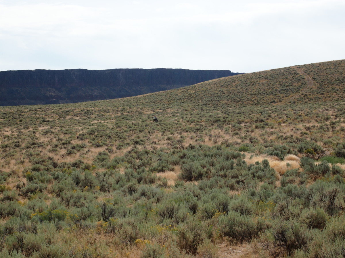
On a map the roads show as thin red lines forming a network resembling blood vessels and capillaries. Or the tributaries to a river. Between Swan Falls Dam and Celebration Park on the south side of the river there is a gap with no red lines. Since a few of the dozen or so other riders here have ridden this route before we know there is a way through.

Crossing over Swan Falls Dam we head upriver a few hundred yards before taking a sharp right hand turn to reverse direction and begin climbing. The surface is generally gravel and/or sand but on a few of the steeper sections larger boulders are exposed and overlain with other, melon sized boulders. These sections most of us walk while pushing the bikes. Then the road smooths out and descends again toward the river. It is nice, fast double track here.
Snake River
Flow
The road-less gap on the map is an area where the canyon walls slope rapidly down to the river. The trail winds up and down and through vehicle sized boulders and the trees and brush that grow along the river. Here everyone pushes and carries their bikes. Then the trail drops steeply back down to the river and ties back into a gravel road which we follow all the way to Guffey Bridge which crosses the river to Celebration State Park. We have ridden about 12 miles at this point. The trail on the north side of the river from Celebration Park back to the dam is mostly level with some sections of deep, loose sand and some rocky sections. Riders with 3″ wide or wider tires should be able to ride everything without much trouble.

Bike photo
29+ = 3″ tires….31’r!
bike
26+ Surly Troll with Rabbit Hole rims and 3″ tires.
IMG_20160221_151046735
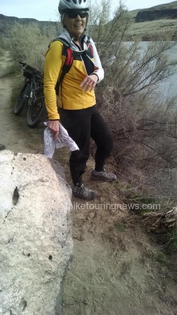
The blood. Sky King came into this rock hard with the left tip of her bars and went over the slope by her left foot. She was holding onto a piece of sagebrush to keep from falling into the river, like a cartoon character.

This loop is just about 25 miles and it is less than an hour’s drive from Boise so it makes an easy day trip. We stopped often to tour through the old stone buildings and to look at petroglyphs. The visitor center at Celebration Park is a resource to learn about the geology and history of this country and is worth a stop.

Categories
Bikepacking Idaho Idaho Hot Springs Mountain Bike Route

Mid-Week Overnight Bike Camping

B. suggested a mid-week overnight trip on the Bikes to Atlanta, ID. I was keen to go and was delighted when my secretary reported I had no pressing obligations on the proposed days.

bike camping
We drove the 20 mikes to Mack’s Creek Campground on the shores of Lucky Peak Reservoir (now so low it is basically the Boise River and the boat ramps are far from the water) The next day we left the truck and rode to Atlanta.
riding
An early-ish start. We have 65 miles to go today but it is “flat as a pancake” says B….”I put my map on the table and it was flat!?” The trees are Mack’s Creek.
Stop at Twin Springs
Twin Springs is the first stop. There is a bar and a store with a few supplies but no restaurant.photo courtesy Bryan Wilkins
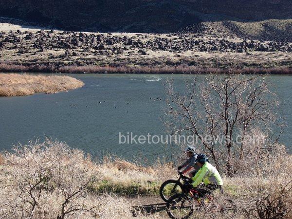
bike and river
The road to Atlanta follows the North Fork and then the Middle Fork of the Boise River so there is plenty of water along the way.
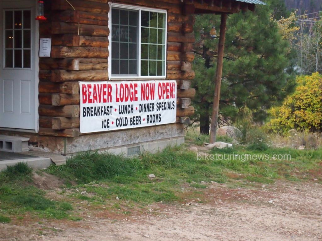
Beaver Lodge in Atlanta
The Beaver Lodge is open after having been leased to a mining company for several years. They were closed for the evening when we got there and we were standing in the gathering gloom and light rain (B. also insisted it was not going to rain on this ride) when the owner opened the door and asked us if we needed anything! He turned on the lights and the jukebox, fired up the grill and produced Stone Arrogant Bastard ale, one of my favorites. This trip just got a whole lot better.
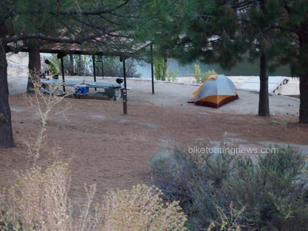
camp site
Russ also told us where to camp. There are hot pools in the river and there is an actual developed hot springs about a quarter of a mile from here. We poked around in the dark and finally found it. This trip just got even better!
breaking camo
I took this picture as we were breaking camp. B. has been ready to go for at least a half hour and my stuff is still strewn about. I am consistently the slowest person ever to get ready in the morning.

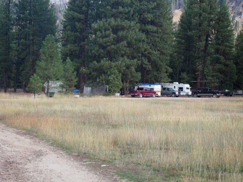
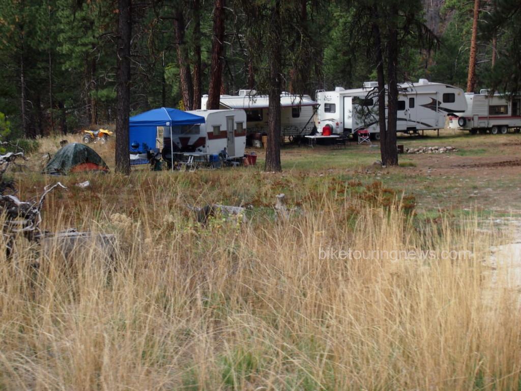
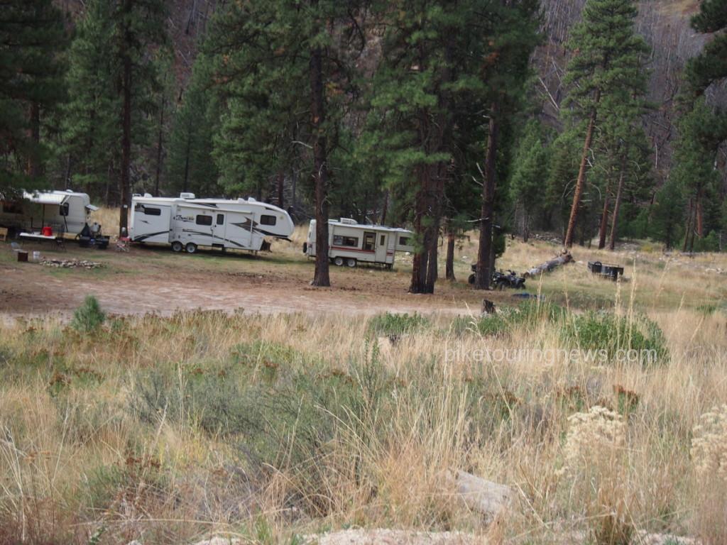
The next few photos are of some of the hunting camps that are set up along side the road. Hunting season opened on Monday of this week and it looks as though these camps were set up several days or weeks before. We shared our spot in Atlanta with a party of 35 people who were there for the next two weeks. I’m sure they had as much difficulty understanding our enjoyment of our past time as I did of theirs.

35 peoplehunters' campanother hunters' camp

riding on a smooth road
Between Twin Springs and Atlanta the gravel road is graded almost to the consistency of blacktop. B. felt the need to flag down the grader operator and congratulate him.
Categories
Bikepacking Idaho Our Trips

Crossing Crutcher Crossing: Bikepacking Overnighter

The Crossing
The Crossing

It’s Friday afternoon about 4:30 and I’m in the weeds. I’ve had pretty steady walk in traffic  and I am just starting to fulfill the online orders which came in today. Don’t get me wrong; these are good problems and I really appreciate every customer. But I’m tired, and the thought of going to a dinner party tonight and then getting the bikes ready for an overnight bikepacking trip tomorrow is actually depressing. That’s the opposite of how it’s supposed to work: we go to dinner parties and plan trips in order to relax and rejuvenate and get away from the grind, I think. Maybe the depression was just from feeling too tired to do the things that normally are enjoyable. Luckily, Sky King never cuts me any slack, and so I change my clothes and trudge off to the dinner party, which turns out not to be horrible. The other attendees are wine aficionados, which the Bike Hermit is not. I feel a little intimidated and inadequate as I quaff my Josephsbrau Heller Bock. But I do learn some stuff about wine and sample most of the varieties which were paired with the different courses. The hostess is a great cook and the company is highly entertaining. In spite of my plans to be irascible, I enjoy myself and by the time we walk home I feel quite a bit better. (maybe it was all the wine sampling?)
We have the bikes loaded in the truck along with all our gear by mid-morning and we head south out of Boise. It is probably 2:30 PM or so by the time we start riding. Even though it is over 100 degrees in Boise today it is not even 90 here at 7,000 feet. A rancher rides up on a four-wheeler with his horse’s saddle slung across the front. We ask him for directions and about the road and we discover that he and his fellow wranglers just drove some cattle down to Bull Basin- where he left his horse.  His speech is slow and deliberate, as if he is carefully considering what he is going to say.  I imagine I see the beginnings of a grin as he thinks to himself things he decides not to say. I’m sort of disappointed that he is wearing a ball cap, even if his boots appear authentic cowboy. Why not be totally awesome and wear a custom West Texas Cattleman if you are living the life?

We roll generally downhill for 9 miles to Bull Basin where the road t-bones at a posted gate, behind which stands our cowboy’s paint. We turn left and through a second gate, which is posted with a bleached out sign which is unreadable, into a fenced  compound where the cattle are chilling. The road crosses a swampy spring with water the color of black tea, passes through another gate and heads up out of the basin. This last gate is not signed which makes me believe the short section of private land we just crossed is de facto not posted.

Big country!
Big country!

Western Sky

Gravel grovelling.
Gravel grovelling.

It was almost 7 PM by the time we reached Crutcher Crossing. We drank our cans of Dales Pale Ale, bathed in the Owyhee River, ate dinner and passed out. In the morning we ate breakfast, packed the bikes and headed back up the trail. This was a very workmanlike S24O bikepacking overnighter, but I still felt as though I had escaped the grind.  I was physically very tired but mentally prepared to get back to the salt mine on Monday.

Evening in the canyon

Sunflowers

The Crossing
The Crossing
Pushing out of the Owyhee river canyon
Desert mover; Surly Troll with 2.75 inch Dirt Wizard tires.
Desert mover; Surly Troll with 2.75 inch Dirt Wizard tire in front and Schwalbe Rock Razor 2.35 in back.


Categories
Idaho Our Trips

Rollin’ Fatties in the Snake River Canyon

Late February might not normally be a time one could expect to find dry conditions in the Snake River Canyon.  Blame climate change or just call it good luck but a long spell of dry and unseasonably warm weather in the middle part of the month has resulted in excellent trail conditions throughout much of southwestern Idaho.  I joined on with a crew of seasoned desert travelers for a trip through the Snake River Canyon from the Swan Falls dam, downstream on the southern bank before crossing the river at Celebration Park and pedaling back upstream on the north side.

Our crew of six drove from Boise to Swan Falls, where we were greeted with a stiff breeze and chilly temperatures.  We debated layering strategies, topped off water supplies and saddled up to explore the canyon.

16439144199_575c9ed950_z

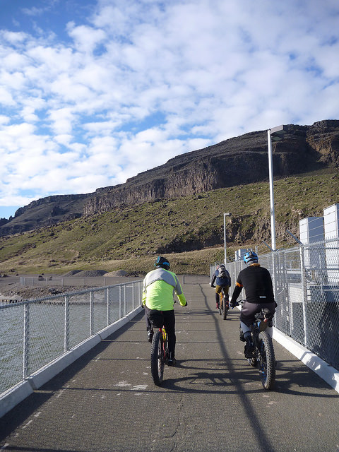
We made our way across the dam walkway to the opposite bank and struck dirt on the sandy beach.

16439141699_9e1ecbb719_z

We rode upstream along the riverbank before taking a sharp right turn and heading up a steep, rocky ascent.  Having entered into this ride in a state of near-total ignorance regarding the route details, I was afraid that we were about to climb the whole way to the canyon rim on this rugged, broken track.

16417637687_76d9e4d14c_z

Fortunately, we peeled off the uphill path after a brief but strenuous climb and began to contour along the upper slope of the river bank.

16437915410_2e92b25ca0_z

The road conditions also improved dramatically and we spun along the hardpacked dirt road, soaking in the scenery and sunshine.

16624922945_efd5abf918_z

We made our way along the firm, sometimes sandy double-track through grasses and sagebrush.

16623816661_812f4eaca6_z

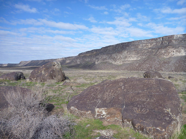
Before long, we reached a grouping of rocks standing all alone in the midst of the grassy flood plain.  Many of the larger boulders were covered with tattoo-like petroglyphs.  I won’t attempt to summarize the history of human habitation in this canyon, but these ancient marks stand as a testament to the fact that humans have found this to be a significant place for hundreds of years.

16437898740_ebc5a6139f_z

We continue to be drawn here for many of the same reasons that those early people came but we weren’t making camp among these relics from the past.

16439119169_0dbd11abe7_z

We paused for a snack and reflection before climbing aboard our steeds and continuing the downstream journey.  The clouds above had begun to thin, the breeze had diminished to barely a whisper and we were all happy to shed some layers.

16005149863_80405bc37a_z

As we continued along the river bank, our grassy flood plain grew narrower and narrower until we were confronted with a section of boulder-strewn canyon wall that fell away at a 45-degree angle straight to the water.  The trail through the boulder field was narrower than our tires in many places and rocks varying in size from babyhead to VW Bug impeded our progress.

As I’m often prone to do, I neglected to photograph this most challenging section of the ride as I was too busy trying to keep my wheels beneath me or lifting my bike up and over obstacles.  Some of the more daring riders claimed to have ridden 75% of this section.  I was lucky to clean 50% and was happy to walk the remainder of the time.

After exiting the boulder field we continued to traverse hillside singletrack until we reached a junction for the bridge crossing at Celebration Park.  We made our way across the old railroad bridge and stopped for lunch at a sunny picnic table before rolling upriver on a heavily-braided, dusty single, double and sometimes triple-track across the grassy plain.

16623777631_4587ef5c00_z

On the northern side of the Snake, we soon came to the same boulder field that inhibited our progress on the opposite bank.  However, we found much easier going this time around as the rocks were strewn across a rolling section of the flood plain rather than a steep hillside.

16439106429_85f1341626_z

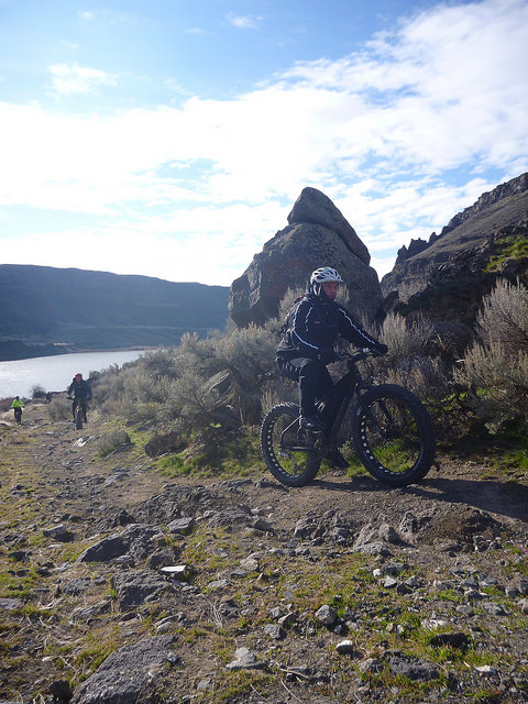
We wound and bounced our way around and over the rocks, past the remains of stone shelters and across sandy washes along the riverside.

16417594657_7af690628d_z

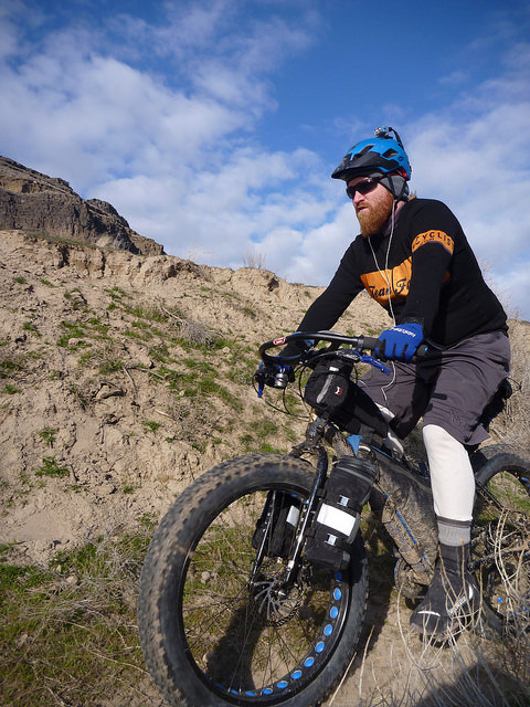
Compared to the outbound trip, the return leg was much easier going.  Some recently-dried sections of trail were heavily cratered from equestrian use earlier in the season but the fatbikes smoothed out the worst of the bumps.  We slowly meandered closer to the canyon wall through grasses and brush.  Birds flew to and from their cliffside nests and we enjoyed the sun on our backs while we pedaled east.

16624225602_85c67551e1_z

Eventually, we emerged at the end of our trail and the start of a gravel road that would carry us back to the cars at Swan Falls Dam.  “Okay, you can put your slicks back on,” joked one of our party.

16005132833_758107700c_z

We made it back to the Swan Falls park in good spirits; tired from the day’s exertions but happy to have had a rare late-winter opportunity to explore this amazing canyon.  I’ll be back, for sure.

Categories
Idaho Living Vicariously Our Trips Tours and Rides

Trials of the Owyhee

When we arrived at the trailhead we were a hardy band of 16 or 17, many of whom were venturing into this high desert landscape for the first time.  After several weeks of cloudy, wet and often icy winter weather in the Treasure Valley, we were primed and ready for a sunny day in the desert.  The weather forecast looked to be on our side and we hoped that the recent spell of dry weather would have allowed the roads and trails of the Owyhee country to dry sufficiently.

Unfortunately, we had driven into a thick fog bank outside of Grandview.  The chilly, moisture-laden air  penetrated our clothing and had many of us wondering if we had brought enough layers.  Also, the looming threat of wet conditions stood to dash all our hopes of venturing into this rarely visited area of Idaho.

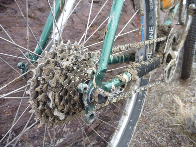
When moisture is present in sufficient amounts in this parched, erosion-prone landscape, the silty, flourlike soil of the flood plains and river bottoms becomes a sort of sticky dough.  This is cruel stuff.  Part quick-drying cement, part biscuit batter with a wide assortment of stones, sticks and other detritus spread throughout, the “Owyhee Gumbo” is legendary for its ability to stick to just about anything and set hard, preventing bicycle wheels from turning and fouling all manner of moving parts.

Knowing that we may have to abort the ride if we encountered sustained muddy conditions, we unloaded bikes in a farm road turnout, made our final preparations and pedaled west on the chunky gravel to see what the day would bring.

P1160764

Unfortunately, the conditions quickly deteriorated as the road entered a flood plain and made several crossings of the rutted, sloppy stream bed.  These were precisely the kind of conditions we were hoping to avoid.  Photos cannot do justice to the evil of this particular breed of mud.

P1160769

The more experienced Owyhee travelers made their way through the rocks and brush off to the side of the main tracks.  The uninitiated, stubborn or foolhardy among us charged headlong into the silty, sinking mudholes.  We sunk in slop over our rims and up to our pedals.  Our wheels rapidly packed with the silty, dough-like mud and scraped their way between fork blades and rear stays.  Then the Owyhee Gumbo claimed a victim.

I pedaled smoothly into a deeper section of mud, coasted breifly through the worst of it and began pedaling to churn my way up the little rise from the bottom of the stream bed.  I heard a snap and felt my chain lock up.  Expecting a simple clog, I looked down to see my rear derailleur twisted against the rear of my cassette.  The parallelogram had snapped cleanly off, leaving only the upper knuckle still attached to the hanger.  Great.  We were less than two miles into our ride and I was wondering if my day might already be over.  As it turned out, I wasn’t the only one feeling that way.

While I set about assessing the damage and feasibility of a solution, the mutiny in our ranks was already taking place.  Talk of gravel road alternatives, broken bikes and carwashes drifted through the canyon as I unbolted what was left of my derailleur and stripped off the shifter cable.  I punched a pin out of my chain while other voices countered that conditions were bound to improve when we climbed out of the drainage onto the plateau above.  By the time I had found a workable gear and shortened the chain to rig my machine into a singlespeed, all but seven of our once mighty expedition force had beaten a retreat back to the cars.  Such is the fickle nature of desert travel, especially in the winter.

P1160783

Somewhat demoralized but not yet beaten, I decided to press on and try my luck with the intrepid remaining crew: Jim, Stacy, Wendell, Star, Sal and Kurt.  Afraid that my overstressed chain might snap or derail with heavy pedaling, I did my best to keep my cadence quick and light.   My confidence in the ad-hoc singlespeed rig improved when it withstood a few out-of-the-saddle efforts to get over some punchy climbs.  Fortunately, our planned route would climb gradually until the turnaround point, so I could expect to coast a good portion of the return leg if my repair failed and I was forced to bail at any point along the way.

As we had hoped, road conditions improved dramatically as we gained elevation.  Once on the plateau, the well-graveled double track had a soft, spongy feel under our tires but did not have the same sticky, glutenous, dough-like texture we had encountered down in the wash.  We picked our way around a handful of trouble spots as we pedaled our way through the fog, into the void.

P1160778

We stopped briefly for a snack at a rock outcropping, hoping the sun would burn its way through the fog that clung to the sagebrush and stone.  The sloping walls bordering Big Horse Basin Gap were barely visible through the haze as we approached but the suspended vapor glowed brightly with the warmth of the sun, calling us higher.

P1160796

We climbed into the gap, slowly gaining elevation until we emerged in a world of light and clear blue skies.

P1160800

We rode through the corridors of stone, soaking up the warming rays of the January sun and feeling wholly justified in having made it through the trials below to earn this reward.

P1160820

The road wound its way through the pass, bordered by eroded rock spires and chimneys.

P1160822

Finally, we emerged from the gap into the full glory of Horse Basin.  Towers of batholithic rock bordered the road as we grunted up the final steep pitch to reach the next plateau.

P1160813

Feeling energized by the sun and spurred on by the desire to keep my gear turning at a quick cadence, I pressed on up the road ahead of the rest of the group.  Forging into new territory, I soaked up the landscape as I powered my singlespeed southbound over the rocky, rolling terrain.  At the high point of our ride – 4,300 feet up on the desert plateau between the deep canyons of Big and Little Jack Creeks – I paused for a stretch and to regroup before heading down the cherrystem trail to our final destination.

P1160832

Wendell, ever the enthusiastic high-desert explorer, led the descent to the canyon’s edge.

P1160844

Sky followed with the rest of the crew, exhilarated by the quick descent on the cherrystem to the edge of the canyon and the wilderness beyond.

P1160847

Now, where I come from back in good ol’ Dixieland, our creeks don’t look much like this.  It is hard to believe that Big Jack Creek – the stream that carved this massive gorge out of the sand and rock – is only a minor tributary of the Bruneau River and not a stream with the power of the Owyhee or the Snake.

P1160860

We loafed in the sunshine and explored to our hearts’ content, snacking on whatever provisions we had brought along while soaking up the unadulterated quiet.  Though we may have wanted to toss out our bedrolls and stay the night, duty and responsibility called us back to the city.  We would have to wait until another day to watch the stars come out over the desert.  Reluctantly, we packed our bikes and pedaled back up the cherrystem to begin the return leg of the journey.

P1160867

We were rewarded with a light breeze and mellow downgrade for most of our ride through the Basin, toward the gap in the rocks far in the distance.  I was able to spin my gear at a quick cadence and carry easy speed but fell off the wheel of the faster descenders when things got steeper.

P1160881

As we made our way back down into Big Horse Basin Gap, we were pleased to find that the fog had completely burned off in the intervening time, allowing clear views of the surrounding country that had been invisible that morning.

P1160889

We used a larger helping of caution when returning through the still-sodden river bed, however.  The sun had done some good work drying things out but there was still no safe line along the main path.  We took to the bush on the high side of the drainage, looking for footing on large rocks to avoid the slippery, clinging batter that weighed down our bikes and threatened to come over the tops of our shoes.  Finally, we emerged back onto the heavy gravel and cruised down the final dip in the road to the cars where clean clothes and cold beverages awaited.  We rubbed our legs and stretched our arms in the glow of twilight, quite pleased with our day’s work.  Finally, we piled back into our vehicles for the ride back to town and hatched schemes for future expeditions into this strange and beautiful country.

P1160908

Categories
Idaho Tours and Rides

A Ride With The General

A couple of weeks ago – while the Bike Hermit and Sky King were out gallavanting around west Texas – a longtime customer from McCall called the shop.  He introduced himself as Chris but I’m told he’s known as “The General” in certain circles.  He was heading to Boise for a long weekend to escape from the pre-ski-season cold and was hoping to get a ride or two in.  Naturally, I was pleased to have a good excuse for a longer ride than my usual December fare and was happy to oblige.

We agreed to meet Thursday morning for a two-hour spin before I was to be in the shop at 12:00.  We settled on a loop that would take us up Willow Creek Road and across Pearl Road before heading south via Hwy 55 for the return leg.  Had we paid much attention to the map, we might have deduced that we had no hope of covering 45 miles and 3,000 feet of elevation gain in our allotted time.  However, ignorance is bliss and it was in a state of uninformed excitement that I rolled up to the shop at 9:30 Thursday morning.  It happens to the best of us.  Due to ignorance, poor planning or a simple twist of fate find ourselves out on the bike for twice as long as we think.  This was one of those kind of rides.  I’ll go ahead and confess: I was late to work.

P1160551
‘Cross Bikes at the Shop

Despite low-hanging, gray skies and the looming threat of rain we filled bottles, double-checked tire pressure and prepared to roll out of Boise along the popular Hill Road bike route.

P1160553
The General’s Steed with Lone Peak Kickback Top Tube Bag

We cruised westbound at a conversational pace on the flat, smooth asphalt.  On the outskirts of the neighboring town of Eagle, we turned northbound and into the hills.  It wasn’t long before the nice, level road through housing developments and farmland kicked uphill and carried us into the open country north of the Treasure Valley settlements.

P1160562
Cresting a Hill, Rolling Northbound

After a few ups and downs, Willow Creek Road soon turns to dirt.  Recent rains had tacked down the normally dusty surface and we were greeted with excellent conditions.  The road was fast, grippy and reasonably smooth other than the odd pothole and occasional section of washboard or braking bumps.  However, this section of road appears to get good, regular maintenance.  The same can’t be said for many of the sections that still lied ahead.

P1160568

The road signs confirmed that we were heading into more exciting territory.  The road began to wind steadily uphill through a narrow canyon.  We encountered some sections of softer dirt that had us double checking our tires for slow leaks.  There were none, it was only the energy-sapping spongy road tread that robbed our previous efficiency.

P1160572

The soggy tread combined with the steady 6-7% grades and occasional steeper corners to make the Willow Creek climb a proper challenge for us both.  The road continued to wind its way uphill for the next six miles, gradually bending eastward through the mining claims on Pearl Road.

P1160573
The General on Willow Creek Road

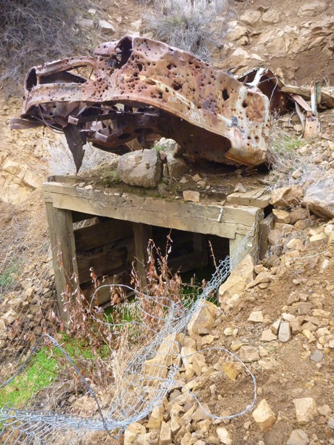
Thankfully, we saw only one large, lumbering mining truck working the claims that day.  Other than the diesel-belching dump truck, we hadn’t encountered a single other vehicle since turning onto Willow Creek Road.  I’m always a little amazed how far away from the big city you can be with just a few miles between you and downtown Boise.  Though barely 20 miles from the Capitol dome, we had entered the land of abandoned mineshafts marked by the bullet hole-ridden husks of ancient automobiles.

P1160576
Old Mine Entrance on Pearl Road

When we finally reached the summit of Pearl Road, we were greeted by an expansive view of the Boise Front, spread out to the west.  The low-hanging clouds concealed the snowy summits but the panorama still made a worthy reward for the exertions of the climb.

P1160585
View from the Pass

On the descent from the Pearl Road summit to Hwy 55, road conditions deteriorated dramatically.  Signs warned of the lack of winter maintenance.  We were now on the wetter side of the ridgeline and it showed.  Deep ruts filled with muddy water had formed in the road and the entire tread was a slippery mess of saturated clay and fine sand.  Harried by a high-school-aged kid joyriding in the slop on his dirt bike, we descended through the challenging conditions as our tires snowballed into rolling hoops of tacky mud.

We finally arrived at the intersection of Pearl Road and Hwy 55 in a chilly drizzle, glad to have made it through the muddy section without a spill in the frigid muck.  We donned rain jackets and pulled our earflaps low for the quick descent on the highway shoulder.  At this point, I was already well overdue at the shop and near the end of my food stores.  I tucked low over my handlebars and allowed the grade to carry me back down to town.

P1160591
Readying for the Descent

Before long, I looked back and saw Chris fading out of sight behind me.  Spurred on through the flatlands by tardiness and hunger, I kept turning the pedals as quickly as I could despite the cold, fatigue and calorie deficit.  The return leg along Hill Road felt practically interminable until I finally reached the intersection of Hill and 36th, unlocked the shop door with my frozen fingers and shuffled my dirty feet inside.

The phone was ringing and orders were accumulating as I hurriedly pulled a change of clothes from my messenger bag and realized that I had… forgotten… my… shoes.  Doh!  I distinctly recalled setting them out early that morning, saying to myself, “now you don’t want to forget your shoes.”  Oh well.  It was still worth it.  Chris rolled in a few minutes later, looking about as shell-shocked as I felt.  Fortunately, it was nothing a bit of sustenance and dry clothes couldn’t fix and we were soon refortified and smiling.

We were fortunate to have snuck in our ride when we did, as a wave of snowfall and frigid temperatures rolled through Boise just a few days later.  We’ll be lucky to see the view from the Pearl Road summit again anytime soon.  Long rides can be hard to come by this time of year but the rewards are certainly worth the difficulties.  Come springtime, we’ll collect dividends on the investment of quality saddle time in the winter.

Enjoy the ride and thanks for reading.

Categories
Bike Touring Equipment Bike Touring Tips Idaho Tours and Rides

Lessons From the Trail: Doing it Better Next Time

We are always looking, hoping and striving for the best possible experience when we head out on a bike trip. Our free time to dedicate to these journeys is limited and valuable and we should do everything in our power to make the most of the opportunity. Many components in this alchemical equation are beyond our control. Weather, terrain, wild animals and innumerable other factors will all have a say in what we have to cope with out on the trail. We can try to plan and prepare for some of these unknowns but they are beyond our influence.

However, there are also key ingredients in an enjoyable bike trip that are wholly up to us. Our planning, preparation and packing all have the potential to make or break a trip. In hopes of improving our experience the next time, we look back upon returning to see what lessons can be learned. How did your planning, preparation and packing work out?  What worked and what didn’t?  What would you do differently next time? As you unpack, you have the opportunity to take a second look and assess your approach. Is there anything buried in the bottom of your bags that you had forgotten was there? Do you still have two pounds of food left over? By paying attention to these things during and after your trip, you’ll be able to learn from your mistakes and keep from repeating them in the future.

So, in hopes of offering some insight into this process, I’ll go through my unpacking and look back on the recent Smoke ‘n’ Fire 400. In doing so, I hope other new bikepackers and tourists will learn from my successes and failures so they can make their own mistakes rather than repeating mine! You may remember my Packing List and Planning posts on this blog. If you haven’t seen those I’d go back through them for the relevant background information.


Planning:

Overall, I’m pretty happy with my approach to the route. Given my lack of fitness and unfamiliarity with most of the terrain, I was well aware that any major setback could easily put me into a position where I would need an extra day to complete the route. So, I set out on Wednesday morning hoping to finish the ride before dark on Saturday but prepared to be out another night and finish on Sunday if needed. However, things went well out there and I was able to make it back to Boise’s Hyde Park neighborhood just before 7:00pm on Saturday. I was a bit disappointed to miss happy hour but the post-ride beer tasted just as sweet.

P1160142
Victory Beers in Boise!

My daily distance goals proved to be attainable, though perhaps more difficult to reach than I expected. I’ll also admit to underestimating the amount of time the tougher climbs would require and the physical toll they would take. When planning, it is easy to be overly optimistic and forget how grueling long climbs can be on a loaded bike and I fell into that trap. Because of my lack of respect for the climbs – especially the grind up to the Dollarhide summit – I fell short of my goal to reach Redfish Lake on the second night.  Looking back, I made the right call to stop and bed down rather than push on longer into the night. I made up the difference the next day over more level terrain and made it to Deadwood Reservoir on night 3 with daylight to spare.

P1150933
Dollarhide Summit

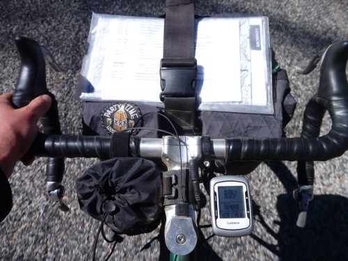
On a navigational side note, I did have some difficulties with my Garmin. I don’t know if other riders had similar experiences with their GPS equipment but my Edge 500 seemed to be struggling to communicate with its satellite and was very slow to update my position. Not a lot of satellites over Idaho, perhaps? I wasted a good deal of time standing still, waiting for it to re-find the route after going off-course. I was glad to have the Garmin but learned to keep the cue sheet handy to avoid missing turns. A handlebar bag with a map case is an ideal place to carry a map or cues and I’d like to experiment with different front carrying setups on future rides. Storing it under the strap on my handlebar bag works but is far from ideal.

P1160033
Cockpit Setup

Also, I was very happy with the Revelate Feed Bag and found it to be a perfect addition to my cockpit. The ease of access to my trail mix and other snacks was excellent and allowed me to keep a constant flow of food coming in. The outer mesh pockets also provided a perfect place to stuff energy bars, empty wrappers, my audio recorder and other small objects that I wanted to keep close at hand. The attachment was simple and secure, though the stabilizer strap that loops under the fork crown was just barely long enough for my bike. Riders on more modern mountain bikes with tall forks and short head tubes won’t have problems but folks with high handlebars and non-suspension corrected front ends may have to improvise an extension to the strap.


Preparation:

I was not in the best of shape coming into this event. Other than quick rips on the mountain bike up in the Boise foothills and riding to get around town, I haven’t been on the bike much since returning from my short trip on the Hot Springs route back in July. Given that less than three weeks intervened between my hearing of the event and taking the start on September 10, there really wasn’t time for training. Mostly, I just focused on sleeping well, getting quality food in me and drinking enough water. Given that I much prefer hoppy beverages to plain water, this can be a challenge! I was certainly well-rested and had the leftover base from my other long rides this summer to get through the Smoke ‘n’ Fire but suffered more than I would have liked. I made up for my lack of fitness with experience and a conservative approach to the event. I knew I couldn’t afford to take big risks.

P1150971
The Boulder Mountains seen from the Harriman Trail

Overall, I measured my efforts well, stayed within my limits and got through each day’s ride about as well as I could expect. I only had one cramp (while putting socks on in my bivy), consistently ate and digested well and only had a small handful of nagging aches and pains beyond the normal soreness and fatigue. I had some pain in my achilles tendons, usually a symptom of a too-high saddle. I dropped it 2-3mm on the second day and things improved a bit. I also had some minor saddle sores and chafing. This could also be attributed to the too-high saddle forcing me to rock my hips on the seat. This point illustrates the need to put in plenty of pre-trip miles on the bike you’ll be touring or bikepacking on. Had I been riding the RandoGnar and not my mountain bike for the weeks before the race I would have discovered the saddle issue beforehand and corrected it before it caused issues.

On a related bike-preparation note, this ride certainly pushed the limits of singletrack riding that I would knowingly undertake with my current handlebar configuration. I love all the hand and body positions that my long-reach, deep-drop handlebars offer on easier terrain but they place me at a disadvantage when things get steep, rough or technical. For future trips with more singletrack riding, I’d switch to a more upright handlebar configuration. Something like the Jones H-Bars might be ideal as they offer a wide range of hand and body positions and would put me in a stronger position to attack difficult terrain.

P1150812
Nasty, washed-out trail


Packing:

It is easy to nerd out over this department. Sure, there are map nerds and fitness nerds out there too with their own brand of dorkery but nobody nerds out like gear nerds. You know the signs. You’ve seen the shelves and closets overflowing with x-pac, down, silnylon, titanium and carbon fiber. I’m talking about computerized spreadsheets with a few-thousand bucks worth of outdoor gear and bike parts all described, tagged, weighed, starred, “faved” and color-coded. And of course, everyone’s favorite obsession – light weight – is actually kind of a big deal when you’re talking about pedaling the whole mess up and down mountains for a few days. However, any factor in your planning, preparation or packing stands to wreck your trip if you screw it up – no one more than the others – so don’t forget to do your due diligence in other areas. Don’t let the gear get in the way of the experience.

I try to choose gear that is space-efficient and functional and try not to obsess about the weight. I can’t afford to re-outfit myself with the ideal kit for every trip so I’d rather purchase gear that is versatile and durable. For the most part, I think I packed well. I used every piece of gear I carried except for the ones I always hope not to use: tools and first aid.

However, the colder-than-expected temperatures in the low twenties (one night set a record low near Stanley) certainly pushed the limits of my equipment. If I had gone any lighter on shelter or clothing I could have easily gotten dangerously cold. I had a tough time keeping warm through my second-night bivy at the bottom of the Williams Creek Trail, high up in the Wood River Valley.

P1160002
Daybreak in the Valley of the Sawtooths

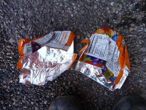
The frigid air seemed to sneak in through imaginary drafts in my bivy and sleeping bag though both were zipped and cinched tight except for a small breathing vent to prevent buildup of condensation inside the bivy. My feet suffered the worst of it. They were just starting to warm up and come back to life after some jumping jacks until I got back on the bike. The icy wind pierced my meshy shoes like needles. I improvised toe covers from a pair of ProBar wrappers (inserted over my socks, inside the shoes) which helped cut the chill and retain some heat.

P1160028
Putting the “PRO” in ImPROvisation

More substantial gloves, toe covers and/or chemical warmers in my shoes would have made the chilly mornings much less painful. Also, despite the lack of extra space in my bivy, I’ll be sleeping with my shoes on future trips where lows are expected to be below freezing. All the icy metal, plastic and carbon fiber in the soles of my shoes sucked the heat out of my feet faster than my blood could circulate.

Food-wise, I was pretty happy with what I carried and how much. I made one resupply stop in Stanley where I purchased some additional ride food (beef jerky, Baby Ruth, Snickers, Mr. Goodbar, two bananas) and supplements (pouch of chunk chicken, Ramen noodles) for my final dinner on the trail.

P1160069
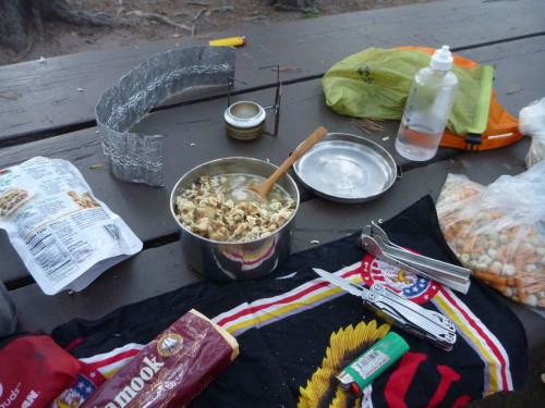
Dinner at Deadwood Reservoir: Lentil Soup with Chicken and Ramen

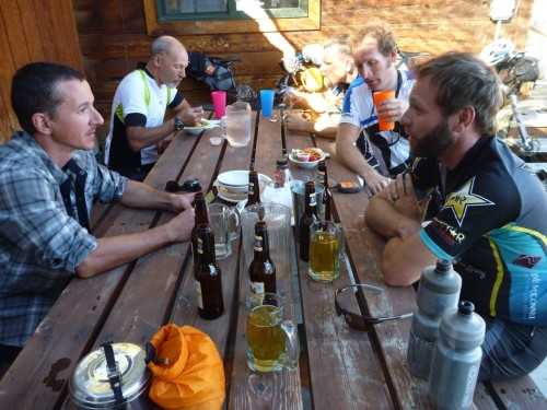
I stopped at some of the convenience/general stores along the way when they were available for cold drinks and to refill water. I also enjoyed a beverage stop with some new friends at the Featherville Saloon on day 1 and an amazing breakfast on the morning of day 3 at the Redfish Lake Lodge.

P1150869
Frosty Beverages in Featherville
P1160021
The “Northwest Breakfast” at Redfish Lake

Aside from these little luxuries, I ate and drank only what I carried and was able to ride safe in the knowledge that I had plenty of calories on board, could filter water from any of the many streams on the route and cook up a hot meal whenever appropriate. Conversely, with good route and resupply information, proper planning and measured riding, one could tackle this route (as many did) with a bare minimum of food on the bike, relying on services in towns and outposts along the way. Although a more expensive way to travel, this tactic certainly has its benefits as food gets heavy fast. It would have been easy to drop several pounds of weight off my bike by leaving the cookset and camp food at home but I would have had to sacrifice a good deal of my self-sufficiency and independence. For my purposes, it wasn’t worth it.

P1160099
Breakfast atop Scott Mountain

I rode into the darkness on both of the first two nights and found my lighting setup to be nearly ideal. The combination of the dynamo-powered headlight fixed to my front rack and the USB-rechargeable lamp on my helmet worked well in a variety of conditions. I could use the low, wide, bright beam cast by the dynamo light for most roads and supplement that light with the headlamp’s powerful spot for singletrack or whenever a more precisely-directed beam was needed.

P1150901
Helmet-Mounted Light at Five Points Campground

This system really proved itself on the second day. I had used the CygoLite for the last couple of hours on my first evening’s ride and continued to employ it while I cooked my dinner and made camp that night. I plugged it into the Sinewave Cycles Reactor as shadows began to grow long on the second day, got it topped back up to a full charge and used it for three or four solid hours on the second night to get me through the Fisher Creek/Williams Creek singletrack section under the light of the stars. This descent was one of the highlights of the trip and would not have been any fun at all with sub-par lighting.

P1150994
Last Rays of Sun Over the Sawtooths

Looking back, it is hard to see this ride as anything other than a great success.  Even so, I’m still looking forward to refining my approach to future rides and applying what I’ve learned.  I hope these posts have been helpful and entertaining.  Feel free to leave your questions and comments below.  Thanks for reading!

Categories
Idaho Idaho Hot Springs Mountain Bike Route Tours and Rides

Sifting Ashes from the Smoke ‘n’ Fire 400

So, what happened out there? Frankly, I’m not entirely sure. Even after nearly three days back at home and two glorious nights of sleep in my own bed I’m still sifting the ashes. All the oversaturated visions of rivers, mountains, valleys and canyons I had out there in the Idaho high country are swept into a continuous blurred mental replay that rolls to the soundtrack of fat tires rumbling over rock and gravel. I’ve been digging back through the artifacts – the empty wrappers and dirt-crusted bottles, the filthy clothes and foul-smelling socks, the crumpled maps and GPS tracks and the photographs and the journal entries – looking for answers. The excavation stirs the cooling embers of the fire that burned bright for four days but only a pale glow is left, barely visible in daylight. I can feel it in my still-tingling toes, swollen ankles and healing saddle sores. The photos are there, all 354 of them, but they don’t look quite like I remember them… There they are, the hot springs, the sheep herd, the hairpin turns, the bald eagle, the endless road. Depending on shutter speed, all of these photos account for somewhere around six seconds of total time over the course of 84 hours out there in Idaho. What happened in between?

P1150859

For those on the outside of this event, Trackleaders’ ride tracking page offered a God’s-eye view of the action that feels something like a game of Pac-Man played in super-slow-motion. Through the miracles of satellite photographs and map overlays, the casual spectator had access to a wealth of information about the event as it unfolded in real time. Much like Santa Claus, they knew when we were sleeping, knew when we were awake and could probably make an educated judgement as to wether we were being bad or good. But while the race replay feature can show you who won and who slept and where we got lost, those little tracker pins racing around like deranged slot cars don’t really tell you much about what happens out there.

P1160040

Despite all this recording of ones and zeros, there are massive gaps in the record: moments that went wholly undocumented or recorded in any way. These moments could hardly even be called memories as they were experienced in a state of no-mind.

After a couple of days, the routine of pedaling ones bike from sunup to sundown becomes natural. Time begins to distort. Sometimes hours fly by and you note the passage of time only when your shadow appears on the right rather than the left. Eventually – like a circumambulating pilgrim – we find a mental space in which we move through the landscape just as it moves through us, leaving only a faint track and puff of dust. A vague trace is all that is left of our passage, each through the other. No GPS data, no pixels or POIs on a map can tell those stories. The times of most complete focus make the greatest impact but leave us with only a vague notion of what happened, like a smeared painting or dream forgotten upon awakening.

P1150992

So why do we go? What pulls us from of our comfortable lives out onto the trail where we are at the mercy of the elements and forces of nature that we could never understand?

Sometimes we need a challenge put to us. We need a test to pass, an opportunity to excel, to show our abilities and prove ourselves. Prove ourselves to who? Ourselves, mostly. To prove to ourselves that we can do bigger and better things that perhaps we ever thought we could.

Sometimes we need to escape. Escapism is a natural reaction to conditions that offend our spirits so we seek an escape into a simpler world to restore a sense of balance. Finding this balance point isn’t easy, however. Tip the scales too far and you might be gone for good.

Sometimes we’re chasing. We’re looking for something – we’re not sure what – that we lost along the way. Or we’re striving for a goal, driven on by the desire to acheive, conquer and win. Looking for one more fix, one more thrill.

P1150930

No matter what drives us out into these places, out on our bikes over mountain passes and down harrowing descents, through darkness and blinding sun, frost and fire, we all end up finding something. It is different for all of us and that is what keeps us coming back. To get one more taste, to draw the cold, pre-dawn air into your lungs and feel it purify you as you round a bend on a high mountain pass. We go as explorers of the world within us and without us, to adjust our sense of scale and reckoning of our position. We go to be put in our place. To be awed and humbled by the majesty of the world outside the narrow tunnel we often see through.

P1150916

We go to lose our minds, to find our no-mind, to forget everything except the essential: food, water, clothing, shelter and forward progress. Always forward. The mountains, rivers, pairies and gorges of central Idaho are the perfect place to outrun whatever chases us and find whatever we’re looking for. Out in this wide-open country there is room for us to grow and expand beyond the normal bounds that we exist in. The clear, blue air and cold, crystalline streams carry our hopes and dreams. We just have to carry enough food.

P1150981

Upon returning, our charge is to carry the clarity of vision, simplicity of purpose and purity of drive found on the road into everyday life. This isn’t easy. Reintegration into a world that scarcely understands what we’ve lived through is not a simple matter. How does one explain the deeply-felt but inexplicable meaning of such a journey to friends, family or co-workers? To those who haven’t experienced something similar, it’s just a long bike ride and you’re just crazy for doing it. The truth is, they’re right on both counts. But there is more beneath the surface of a long bike ride.

To leave the lessons of the trail behind is to decline a great gift. Our daily lives can be hurried and complex, filled with a paralyzing array of choices or possibilities. With no cue sheet, route map or GPS track to guide us, we have to make our own way and find our own path. We must continue to seek moments of no-mind, break free of old patterns and habits that keep us trapped in a stable, predictable but ultimately unsatisfying existence. If we get it right, we’ll look at our familiar world through new eyes, see everything always for the first time, dream, chase and dream again.

P1160137

 >~\~>

See my pre-ride entries about packing and planning for the Smoke ‘n’ Fire 400.

Thanks for reading.

All photos ©Ryan King
flickr.com/photos/rspinnaking