Categories
Bike Touring Tips Bikepacking Idaho Other Tours and Rides

Looking Back On 2017 – Experiences and Insights for the First Time Bikepacker

Hey there, my name is Matthew Wordell. Earlier this fall when Ryan took over Bike Touring News, he asked me to write a brief retrospective on my experiences bikepacking Idaho in 2017. I live and work in Boise as a freelance photographer (InstagramWebsite). I’m fairly new to the sport and my hope is that some of what I write here will inspire that one person who has wanted to try bike touring or bikepacking to take the plunge and head out on their first ride. Full disclosure: This is my first attempt at writing a blog of this nature, so thanks in advance to those of you who finish the whole thing <3

For anyone reading this who isn’t already familiar with Bikepacking, this is a great definition from Bikepacking.com – 

“Simply put, bikepacking is the synthesis of mountain biking and minimalist camping; it evokes the freedom of multi-day backcountry hiking, with the range and thrill of riding a mountain bike. It’s about forging places less travelled, both near and afar, via singletrack trails, gravel, and abandoned dirt roads, carrying only essential gear. 

A common misconception is that bikepacking requires a small fortune to fully appreciate; the perfect bike, custom bags, and all the latest ultralight camping gear. While investing in quality gear is never a bad idea, it’s certainly not a necessity to get you up and running. Start by using what you own and picking a short overnight route near home (30-60 miles). Discover what you really need through experience.”

With that, here’s the official beginning of this blog:

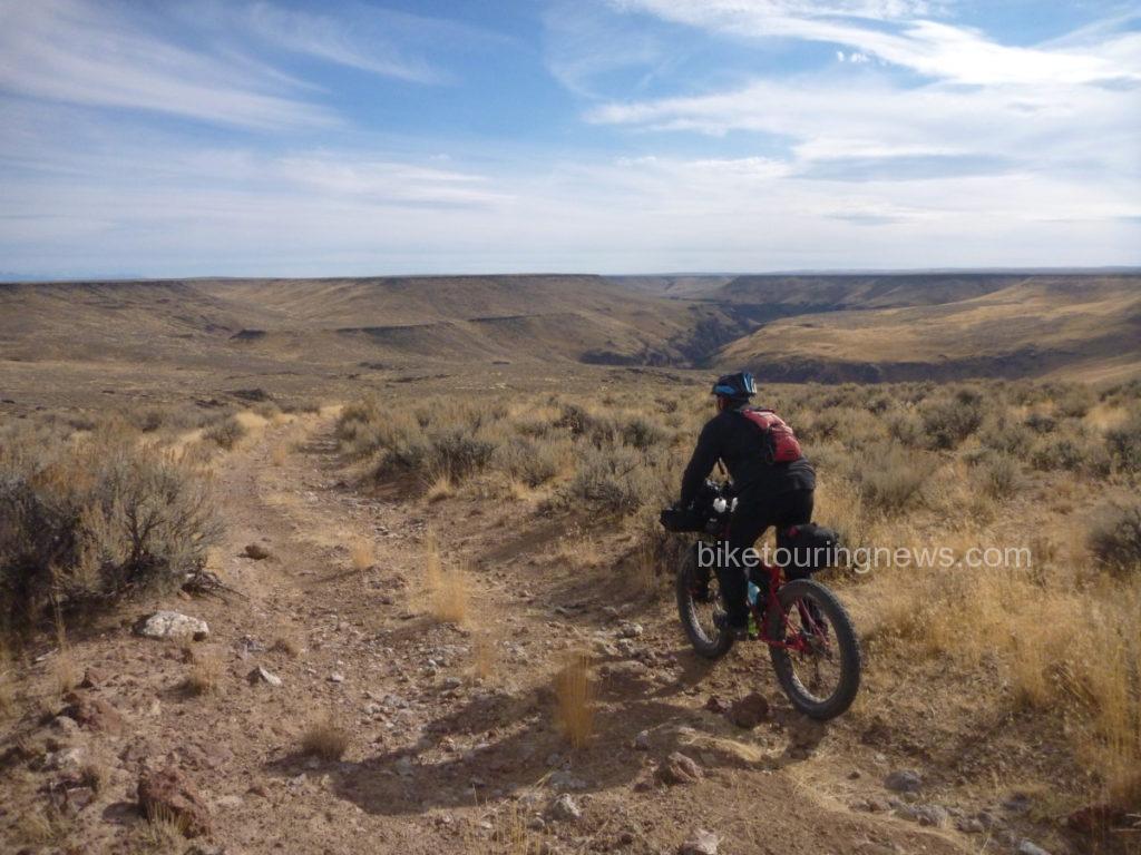
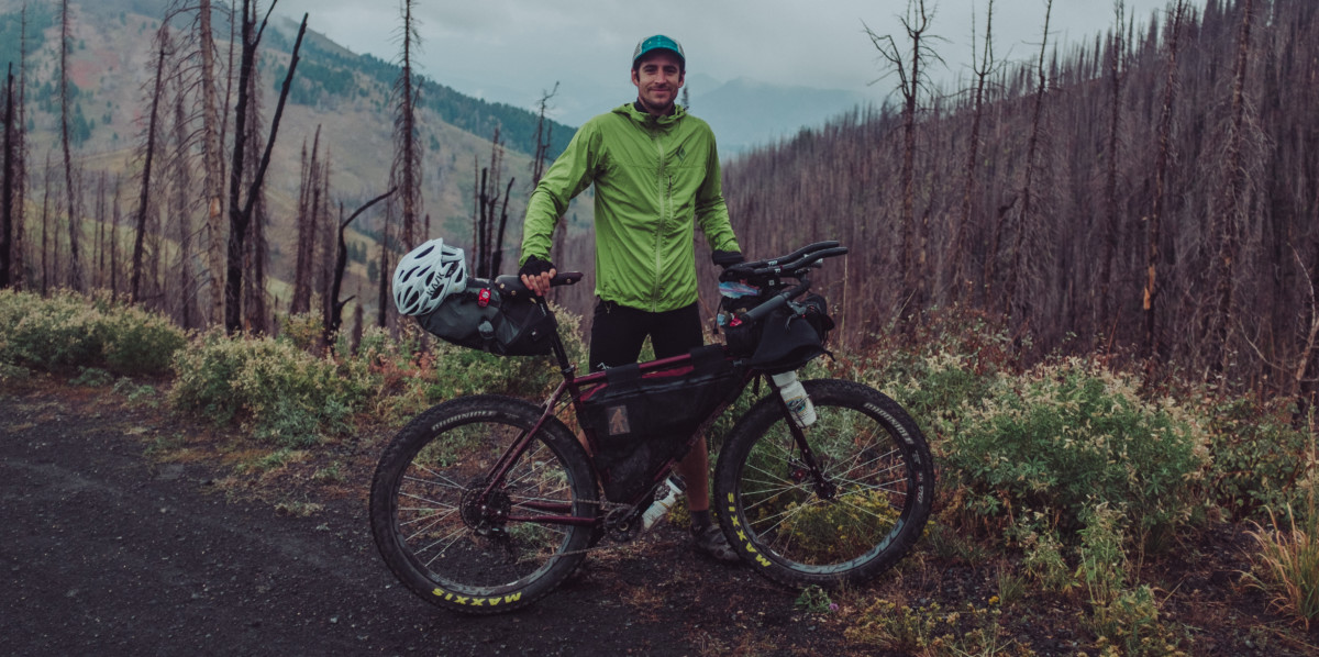
Bikepacking in 2017 begins as any other year should – far too early, far too cold, and with little regard for the forecasts prediction of rain and cold. With my bags packed and work finished for the day, the itching desire to saddle up and head for Shaw Mountain becomes palpable. Hurriedly, I lock the door to my small North End apartment and ride through downtown Boise to meet several friends who will be joining for the evening. The plan, a quick sub-24 hour ride up to the ridge road where we’ve often set up for simple overnight campouts, cook dinner, drink whiskey, survive the cold, and bomb down the mountain for work in the morning. The landscape by Shaw Mountain offers a beautiful panoramic view of the city below, stars above, and a perfect silence I’ve come to love in wooded areas, away from trafficked dirt roads. I’m still astonished a place like this exists less than a two-hour ride from town.

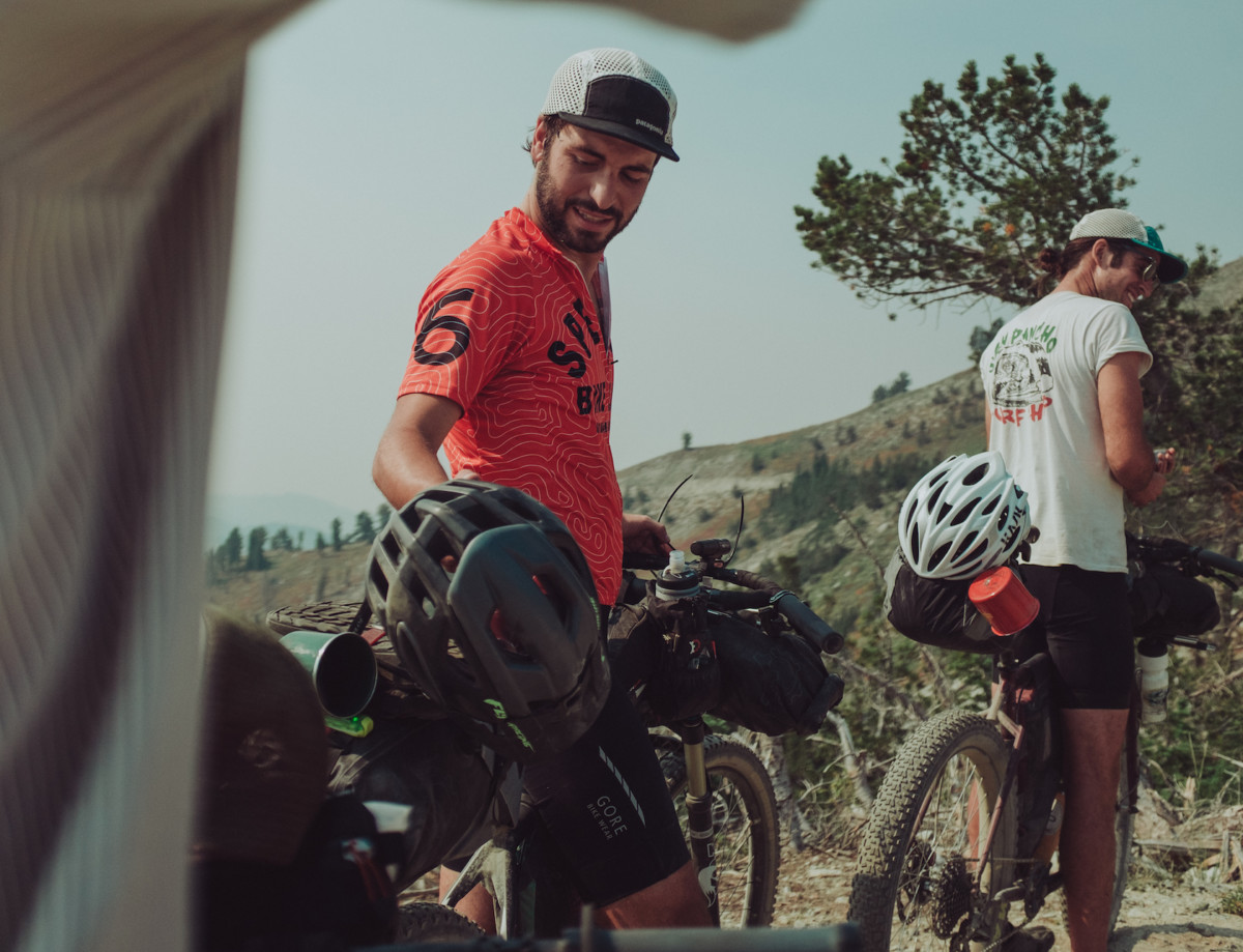
For us, this ride is a tradition at the beginning of the year, something we simply like calling “Wednesdays Are For Bikepacking.” It’s our way of taking advantage of Boise’s proximity to forested and lesser traveled areas along the ridge between Bogus Basin and Shaw Mountain.
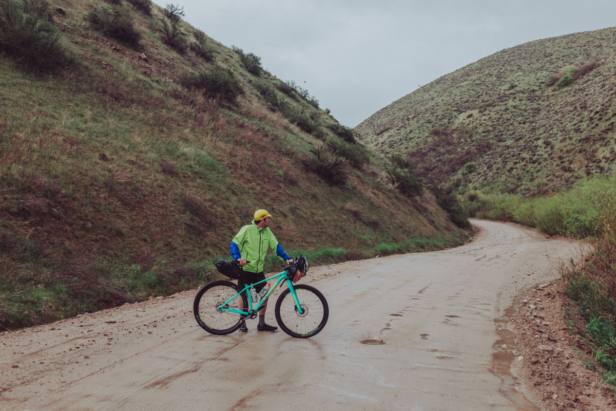
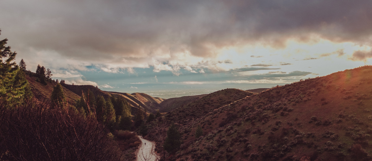
While making the final adjustments to our gear, a deep purple wash of clouds gathers across the western horizon, casting the day into inky purple darkness and casting doubt into our minds about whether or not it is really a good idea to follow through on the years first mid-week overnighter. None of us were really up for freezing to death on the first ride of the year, but it’s hard to say no to something we’ve looked forward to for so long. Nearly impossible this time after surviving the brutal snowpocalyptic winter that ravaged Idaho for months.

Thinking we could beat the rain to the ridge, we begin the climb. Cresting Reserve Road and descending toward the choppy gravel of Rocky Canyon Rd., the weather takes a quick turn for the worse, rain beginning to come down in sheets. Less than 25 minutes into the ride we’re soaked, frozen, and laughing uncontrollably. For a moment, I think we all hate it, each of us knowing that turning around and spending a warm night at home would be infinitely easier than the cold night ahead. But it was the inclement weather that confirmed what we had partially forgotten through the winter – what we really love about bikepacking.

Facing the unexpected and working through physical challenge isn’t something we experience all too often in day-to-day life. Routines dictate much of our schedule and for the lucky few (depending on what you consider lucky) who are self employed there’s still a healthy level of predictability you need to maintain in order to keep things afloat. Backpacking, bike touring, or any other sport that carries you beyond the routine and predictable motions of civilization provides an incredible opportunity to connect to the unknown, to face challenges, and to push through moments when giving up seems to be the only option. Finding joy in the pain, laughing at it with your friends. In the moment, this is the message I feel is being delivered to us by this god awful weather.

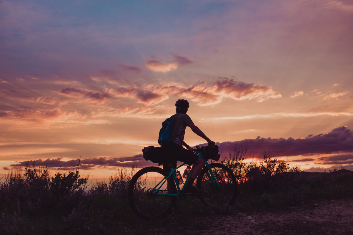
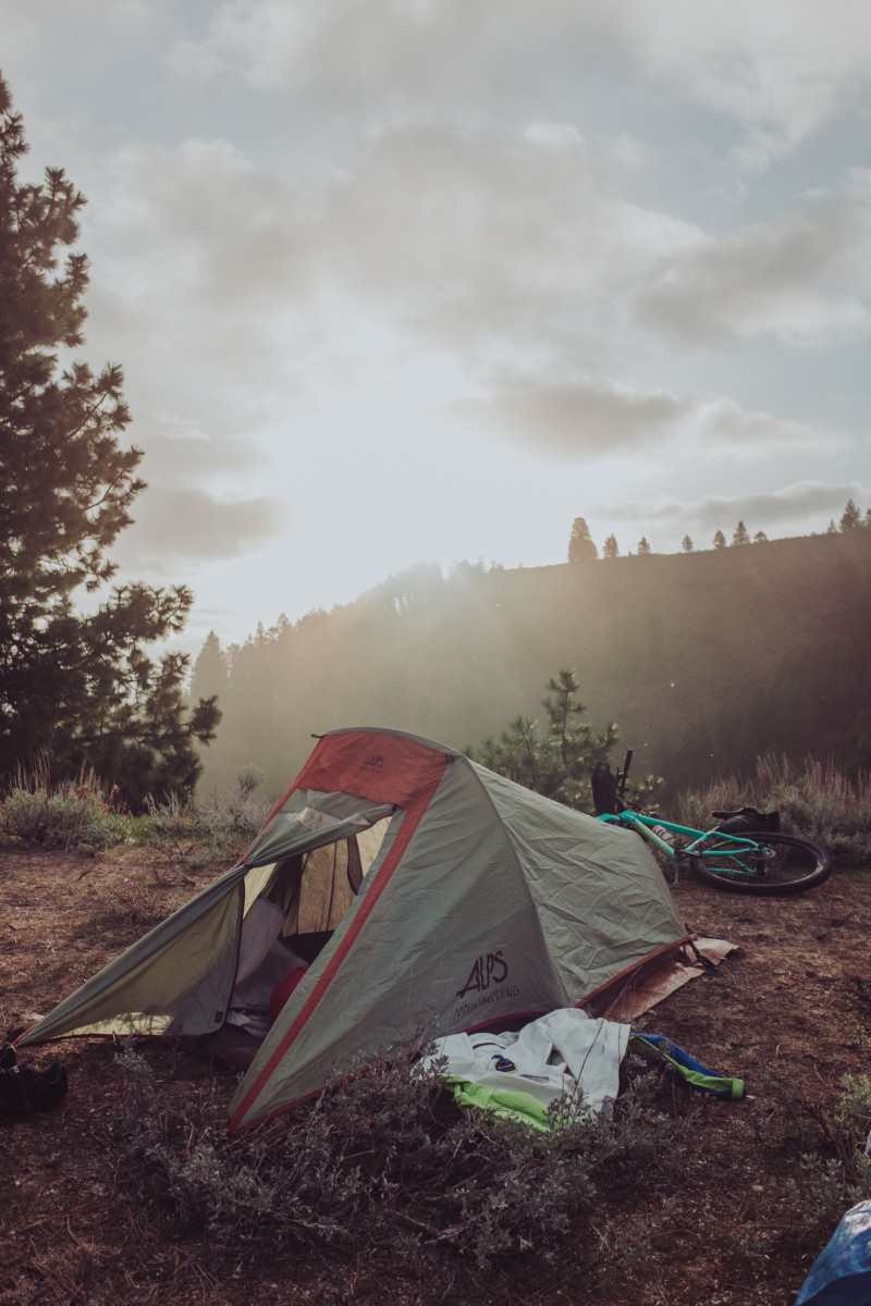
Reaching the top of the ridge, the storm finally breaks and sunlight explodes across the horizon, bathing the surrounding pine trees in purple and orange streaks of light. It’s a beautiful end to a short and painful ride and a great way to start the year. We stand together on the ridge taking it all in before piling into a small two person tent with our sleeping bags, cook kits, food, and whiskey. The tent is way too small, but it’s the only way we’ll be able to warm up before heading to our own tents and falling asleep for the night. It’s crazy to think home is less than 15 miles away. It’s a Wednesday night. We have work in the morning.
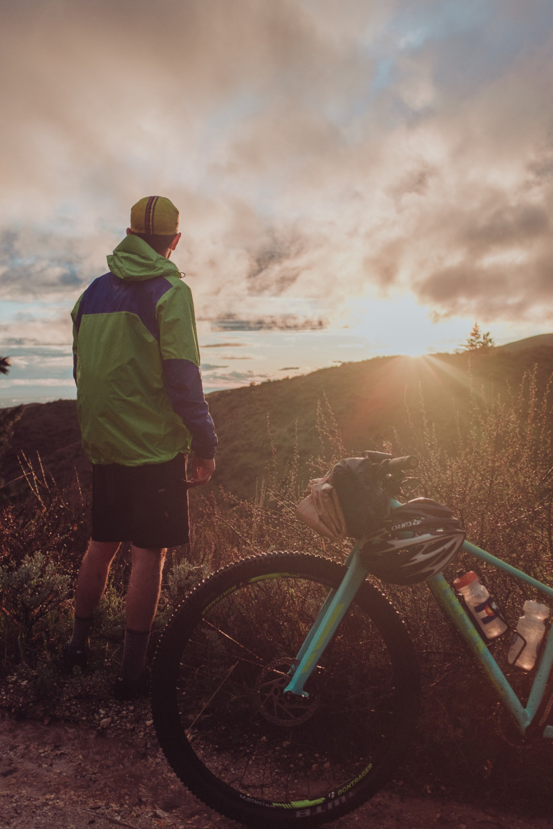
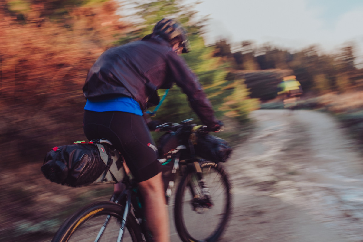
I’m fairly new to mountain biking and only recently discovered bikepacking in 2016, but it has completely changed my understanding of why I ride bikes. For readers who are interested in trying it out, I’ll try to include bits of information that hopefully make the first step a little less intimidating.

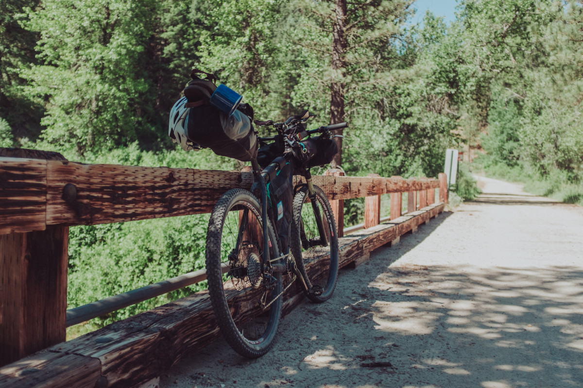
Each trip I take I learn something new about the equipment I use and my approach to riding – a new way to pack my bags, a better way to make coffee, a more efficient way to access certain types of gear, slower climbs, more snacks, taking time to swim in the middle of the day, and how to plan routes to keep the riding fun and the opportunities for beer plentiful. The process of trial and error is important in any sport, but I feel it’s especially important for bikepacking as the first couple rides can often feel the most intimidating. Never fear, everyone has their own idea of what works so it’s worth experimenting with your packing setup! Here’s a few pro tips to get you started:

  • For your first ride, try packing as light as possible to achieve maximum suffer points and garner extra kudos from all those ultralight riders on instagram who spend half their ride wondering if they actually needed that extra pair of wool underwear (they didn’t). For this all you’ll need is several packets of instant coffee, a cook kit for boiling water, and nothing more.
  • Once you’ve endured the pain of step one and have successfully realized camping is a lot more fun when you’re comfortable, you can now try packing a little heavier, a great way to impress yourself and your riding partner. For this “medium weight” approach, carefully stow away that handsome pour-over setup you’ve been dying to try out in the forest while the sun peaks over a wooded ridge, the steam of your fresh pot of boiling water lingering above a nearby brook, while you think to yourself more than once “can life get much better than this?” If you’re the lucky chap who remembered to grind your coffee before hitting the trail, then the answer to that question is yes. Absolutely yes.
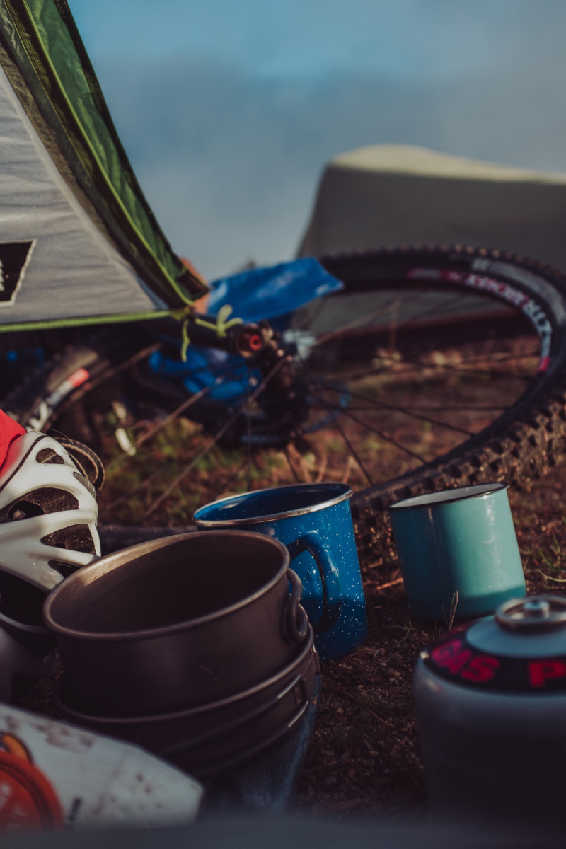
  • Last but not least, there are the mystical few who have been called by Zeus himself to go “fully loaded.” Be careful who you discuss this approach with, a careless slip of the fully loaded tongue in the wrong company could lead to temporary lack of invitations to participate in those mid-summer bikepacking rides your buddies are all posting about on social media. Some will say this approach is unnecessary but if you’ve budgeted time for premium, grade-A nature-indulgence it might just be the right option for you. This setup requires a trip to your local co-op or natural foods store to purchase one pound of whole-bean single source coffee, your hand-operated burr grinder, and that freshly polished glass french press you haven’t used in two months. For the full effect of traveling “fully loaded,” pack a four-set of enamel mugs for you and your new friends who were laughing at the beginning of the ride but now realize you’re an absolute genius.

For me, I’ve had to strike a balance between efficient riding and efficient good times once I’ve reached my destination. For that reason, I usually opt for the pour-over approach with a few additions. A block of dubliner cheese, a mini Bota Box of seasonally appropriate wine, a bar of chocolate, and maybe a shooter or two of some hard alcohol to take the edge off a big downhill section or when you make camp way later than planned and end up taking a pitch-black midnight bath in that nearby freezing river.

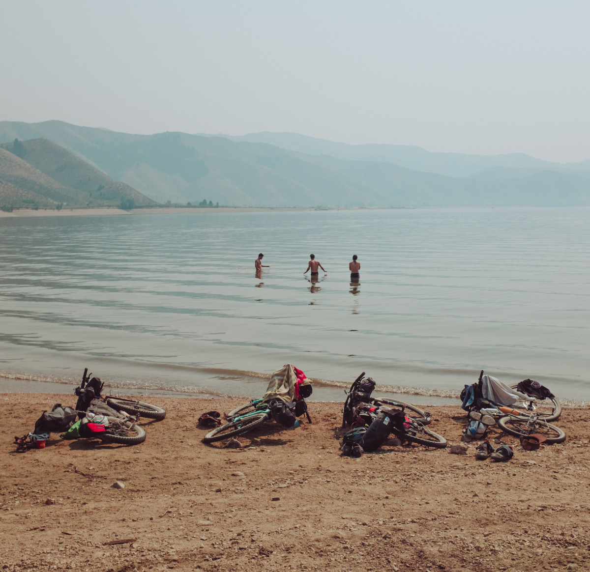
In my opinion the best first rides are along rivers, the grades are more predictable, you can stop and swim if the day gets too hot, and you have all the water you need for dinner once you make camp. Pick one, find a place to park, pack up your bike, and ride until you find a badass spot to camp. Strangers will help you if you get into trouble. It’s something I have to remember every time I leave the house for one of these rides, people are willing to help if you need it. Don’t be afraid to ask for directions and recommendations, 95% of the time people know the area better than you do.

One of the most important lessons I’ve learned along the way is that shit breaks, gear fails, and people forget things. It sucks but it’s part of the fun (just don’t forget your sleeping bag and cook kit). Learning how to improvise and exist without the conveniences of everyday life is an oddly valuable skill and something you gain almost immediately while practicing any type of minimalist camping. On my first bikepacking trip, a friend and I didn’t have anything to use for chairs while eating dinner and lounging by the fire, so we decided to build make-shift stools out of pine bark. It seemed like a brilliant idea, but after kicking back for a few minutes we quickly discovered that his was infested with ants. Live and learn. Upon returning, we immediately went to REI and bought A-lite Monarch chairs and have packed them with us on nearly every trip since.

So yeah, back to 2017:

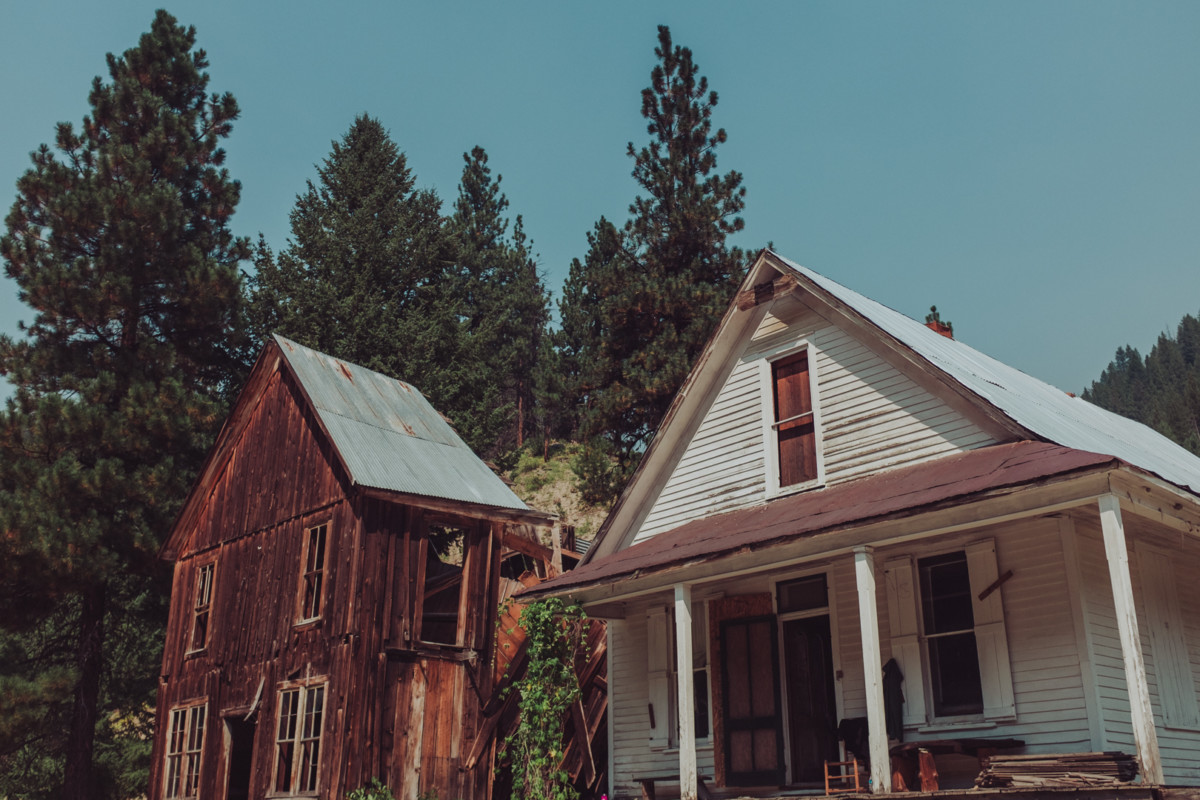
As May and June come into bloom, my rides seek out new vantage points, less traveled roads, more difficult climbs, lakes, rivers, and hot springs. I always have to include hot springs when possible. Normally I feel a drive to explore beyond the borders of my state, but this year it feels good to discover small towns in the mountains, talk to people who live there, learn of their favorite places to camp nearby, and wash myself in crystal clear river water at the end of a day. Its a year spent building my relationship with Idaho, deepening our connection, and discovering places I will surely return to year after year.

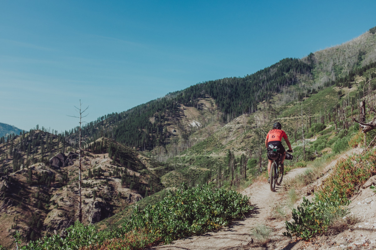
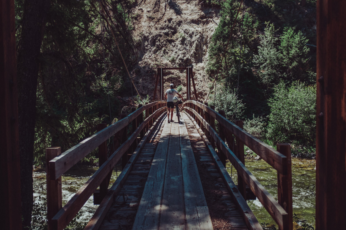
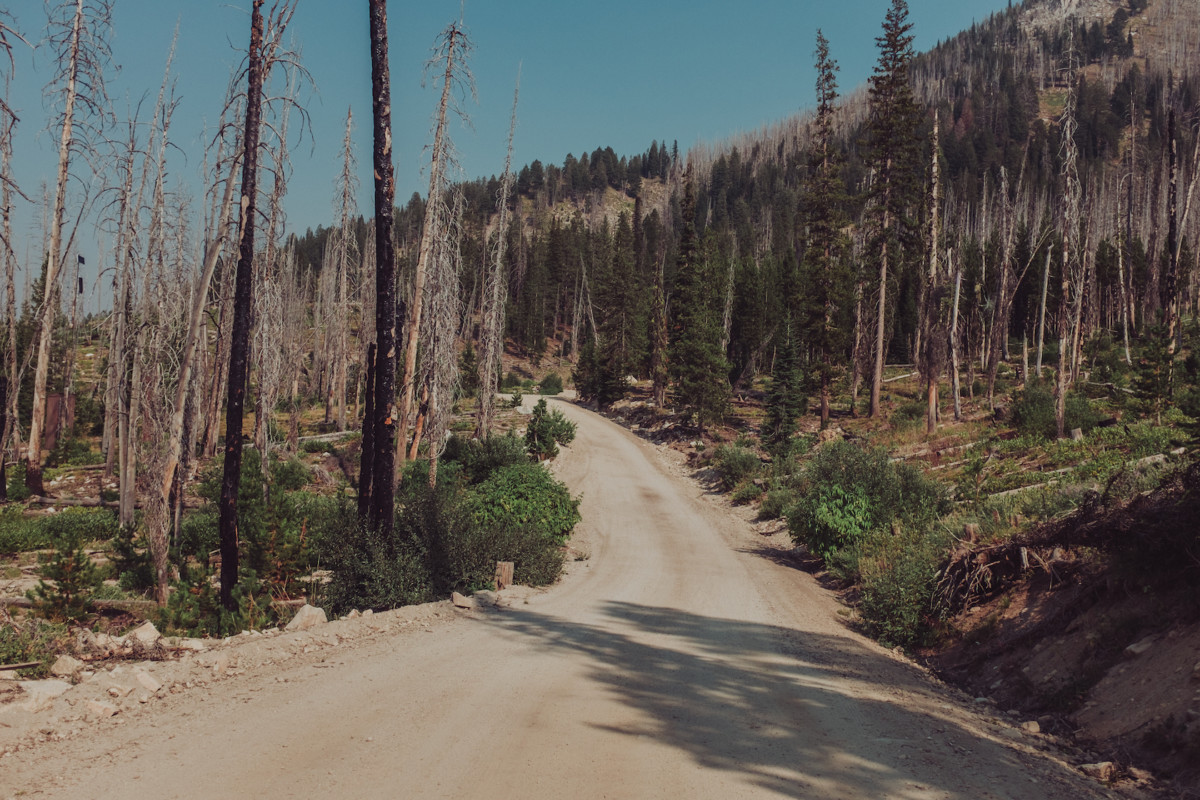
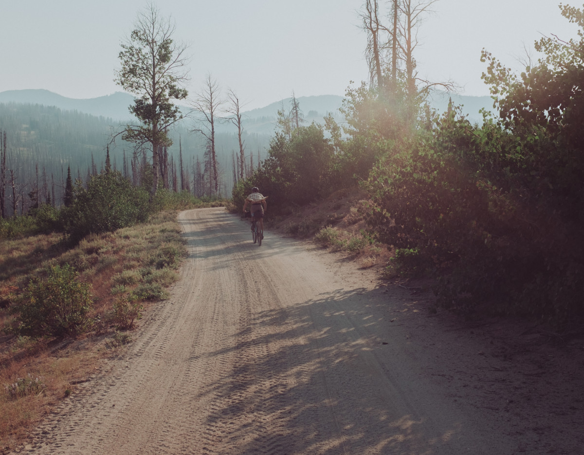
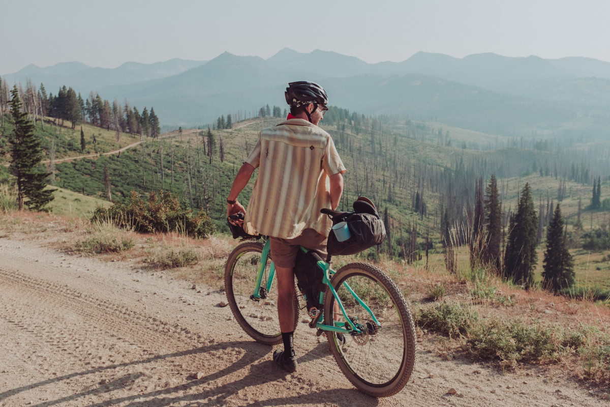
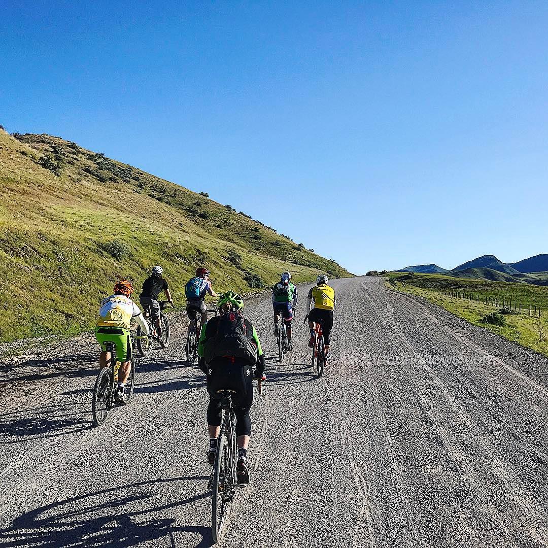
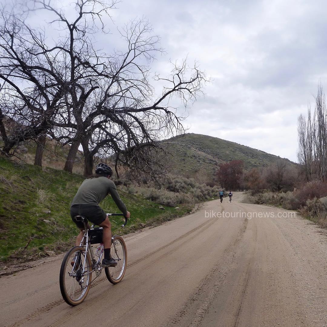
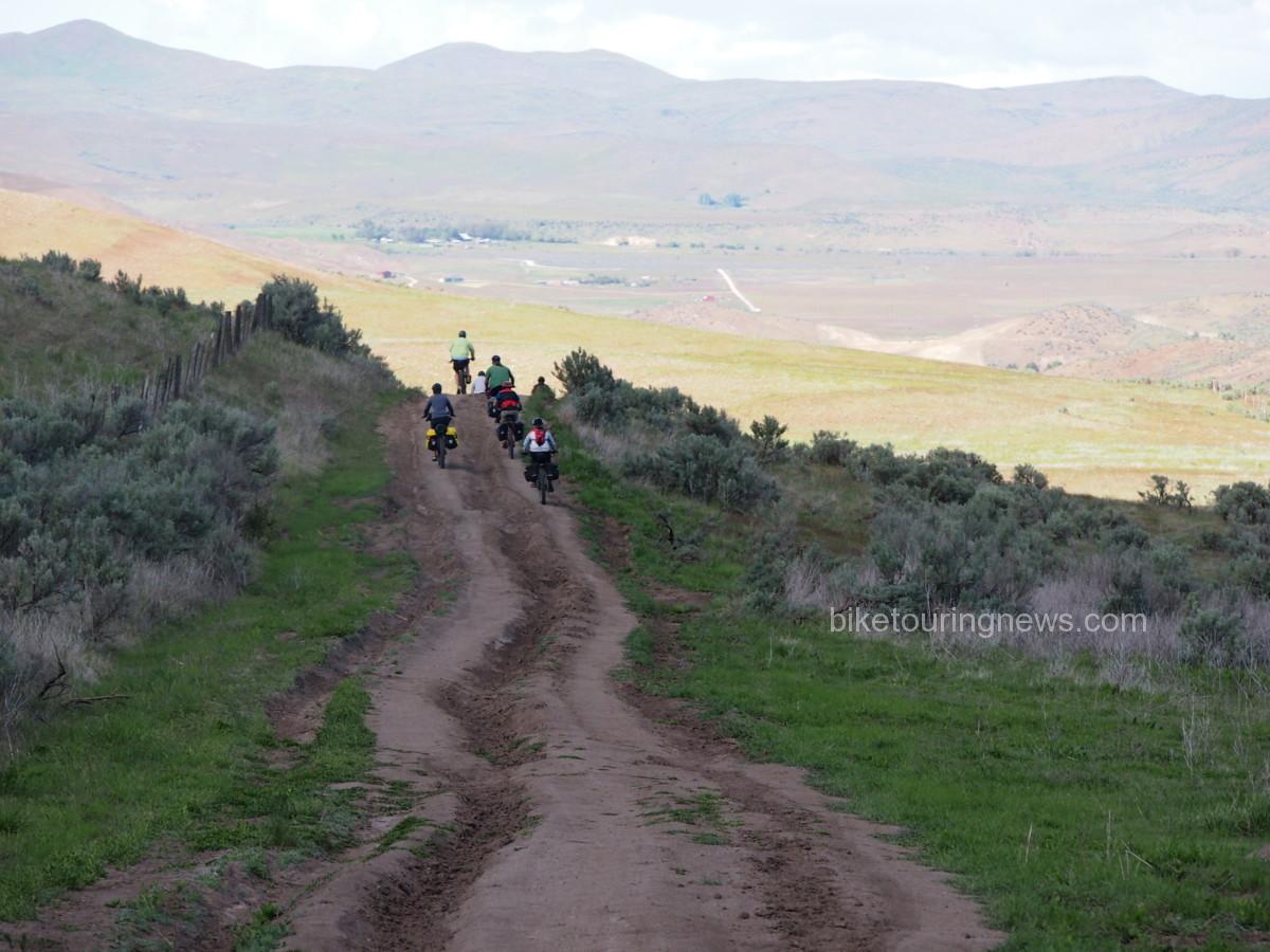
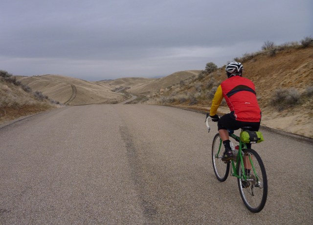
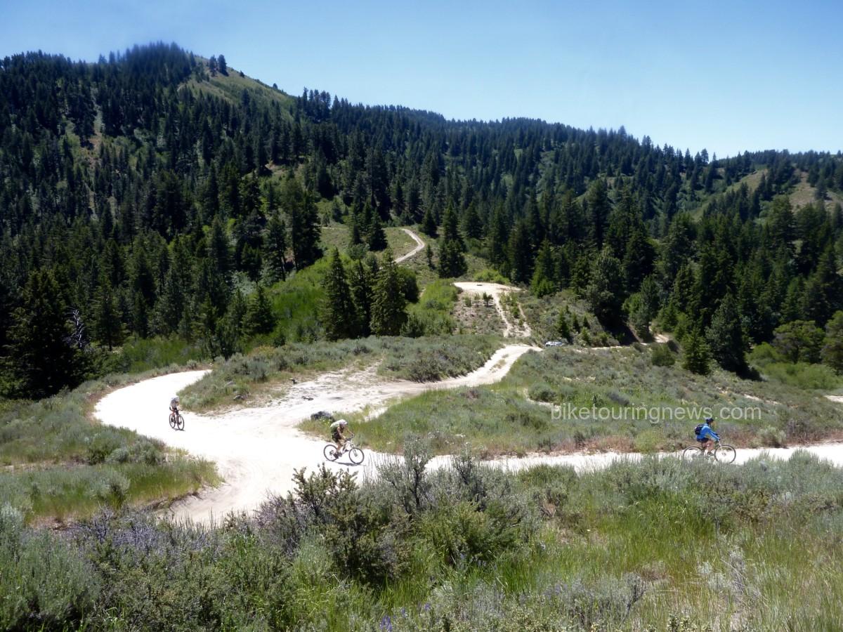
Almost every weekend, I find myself coursing like the wind along sweeping dirt roads, rambling through the high valleys, pine groves, and sagebrush of Boise National Forest, filling my body with a sense of freedom. Roads I’ve hardly noticed while driving become new passageways to a realization of the beauty that surrounds me here in this state. A sense of thankfulness with every turn, like my whole existence is breathing in the wild air of this place. It feels amazing. Each ride feels like a liberation from something, each experience building my confidence in the gear and skills I take with me.
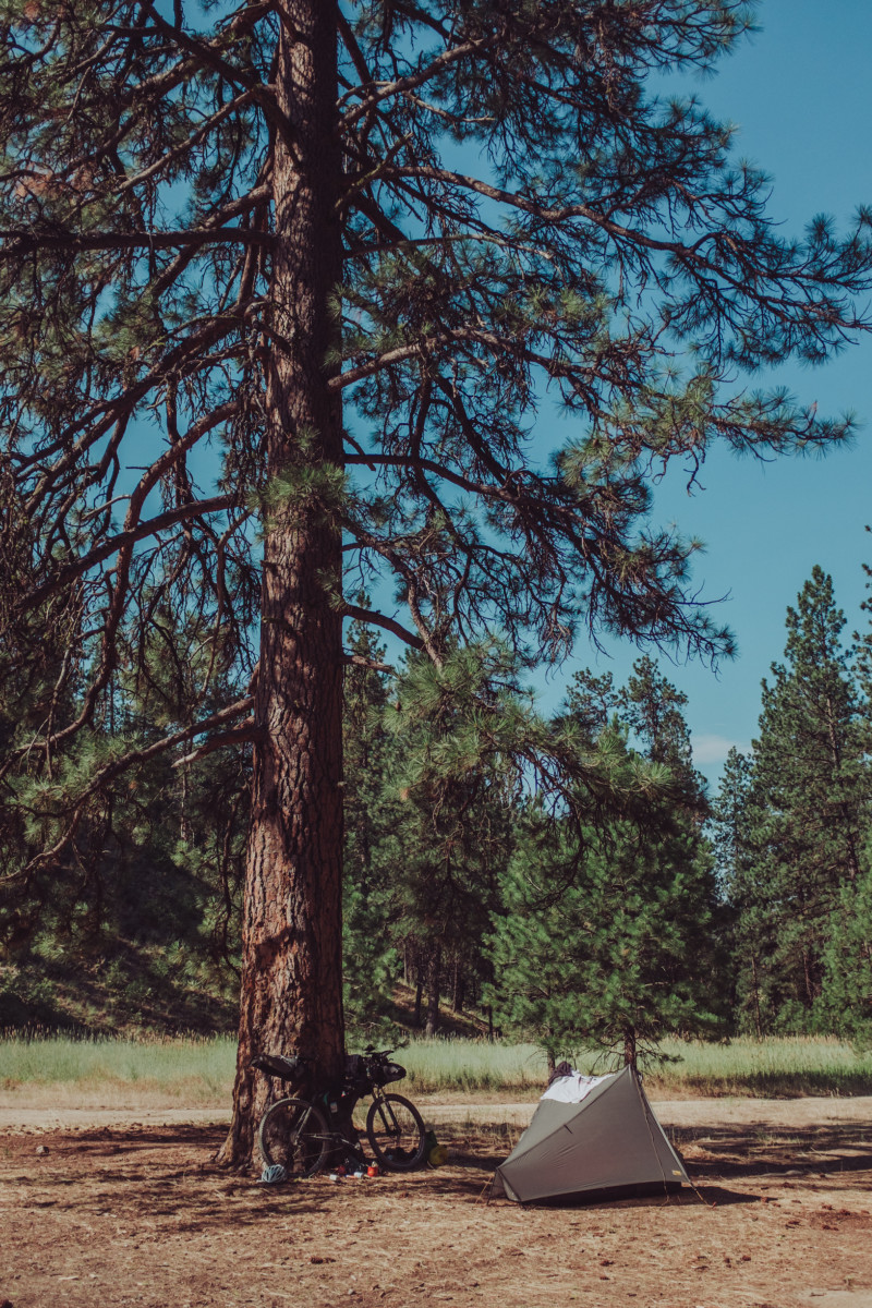
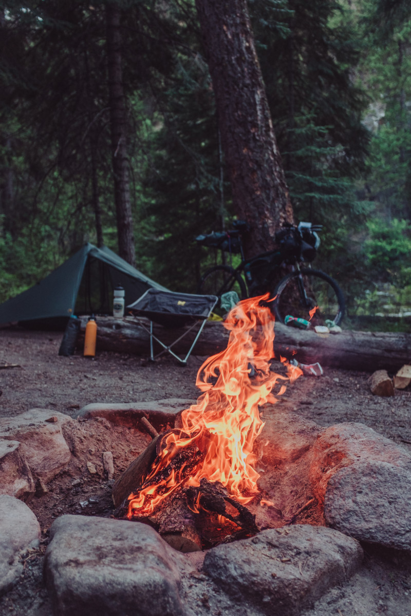
 

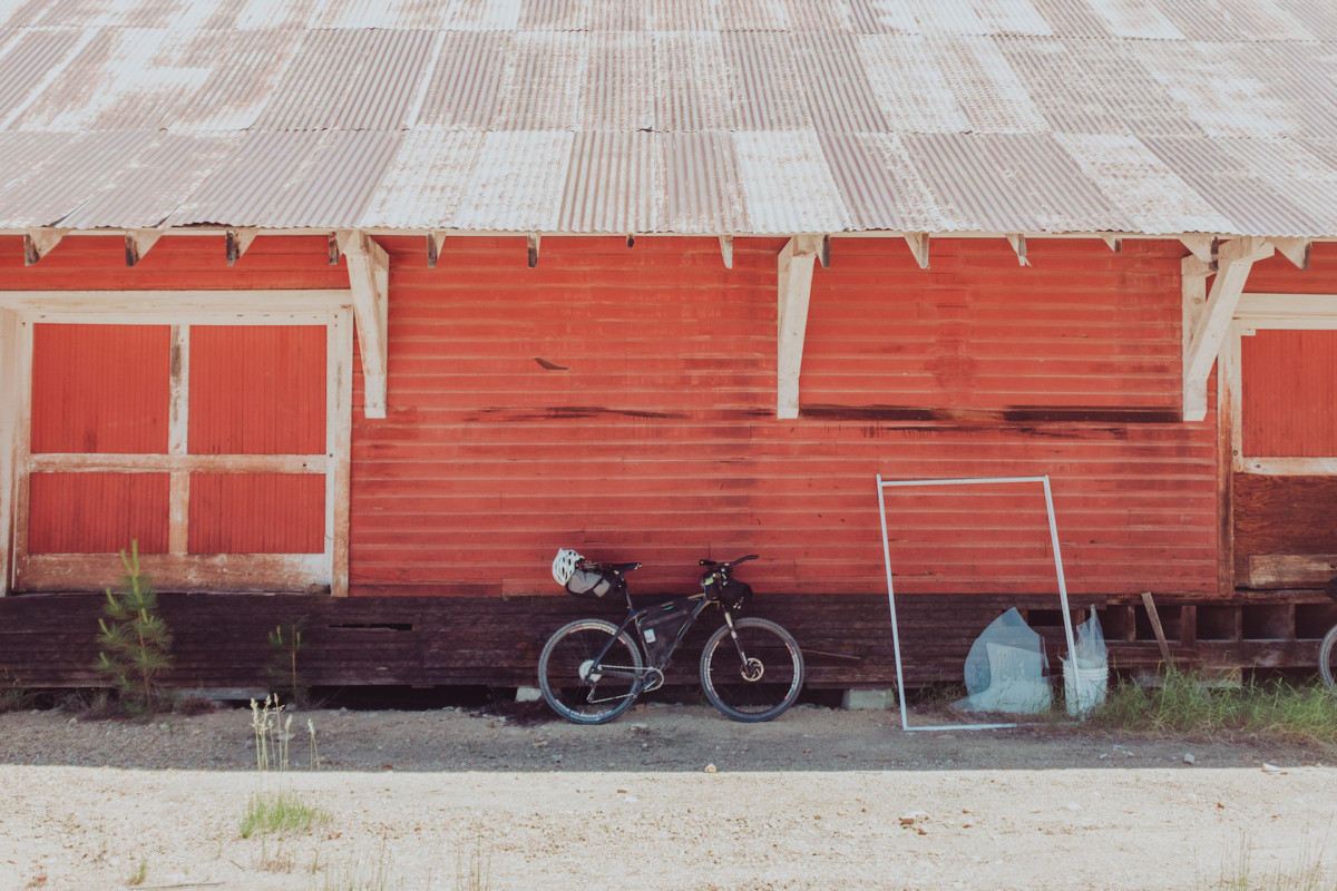
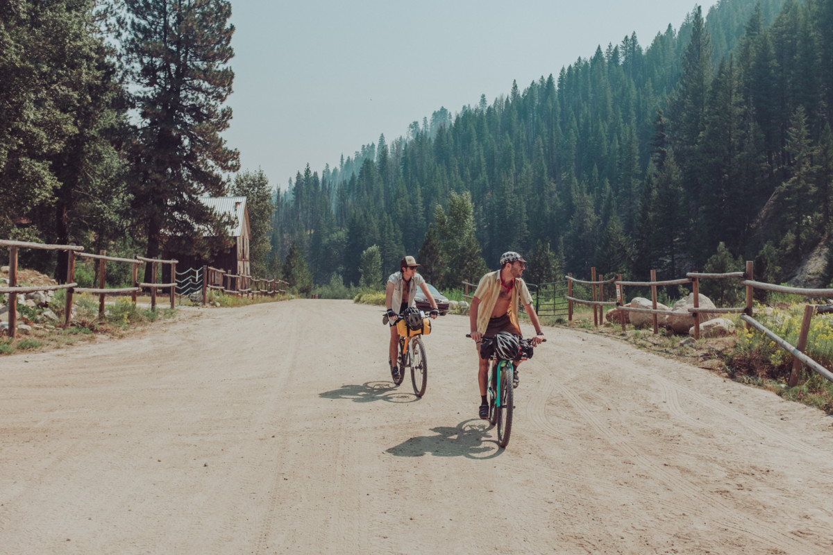
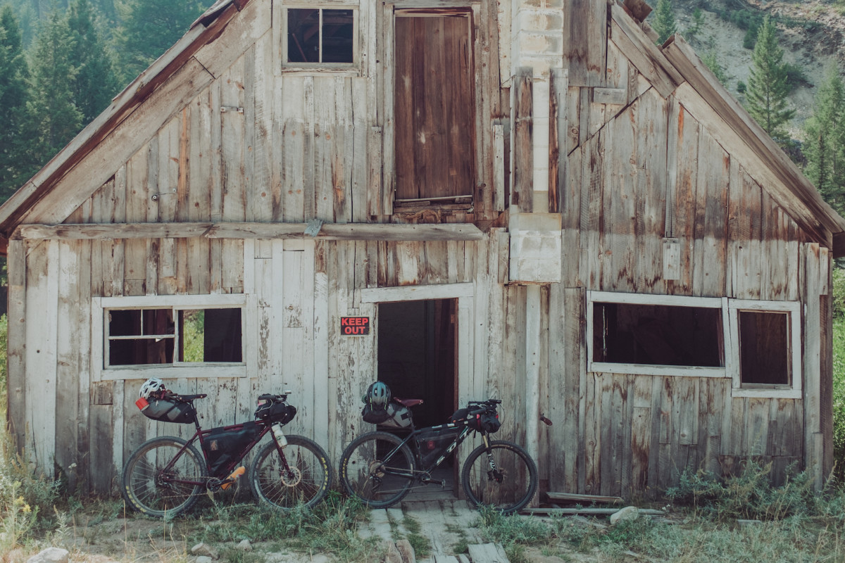
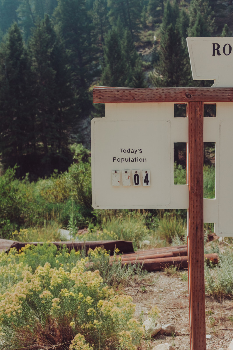
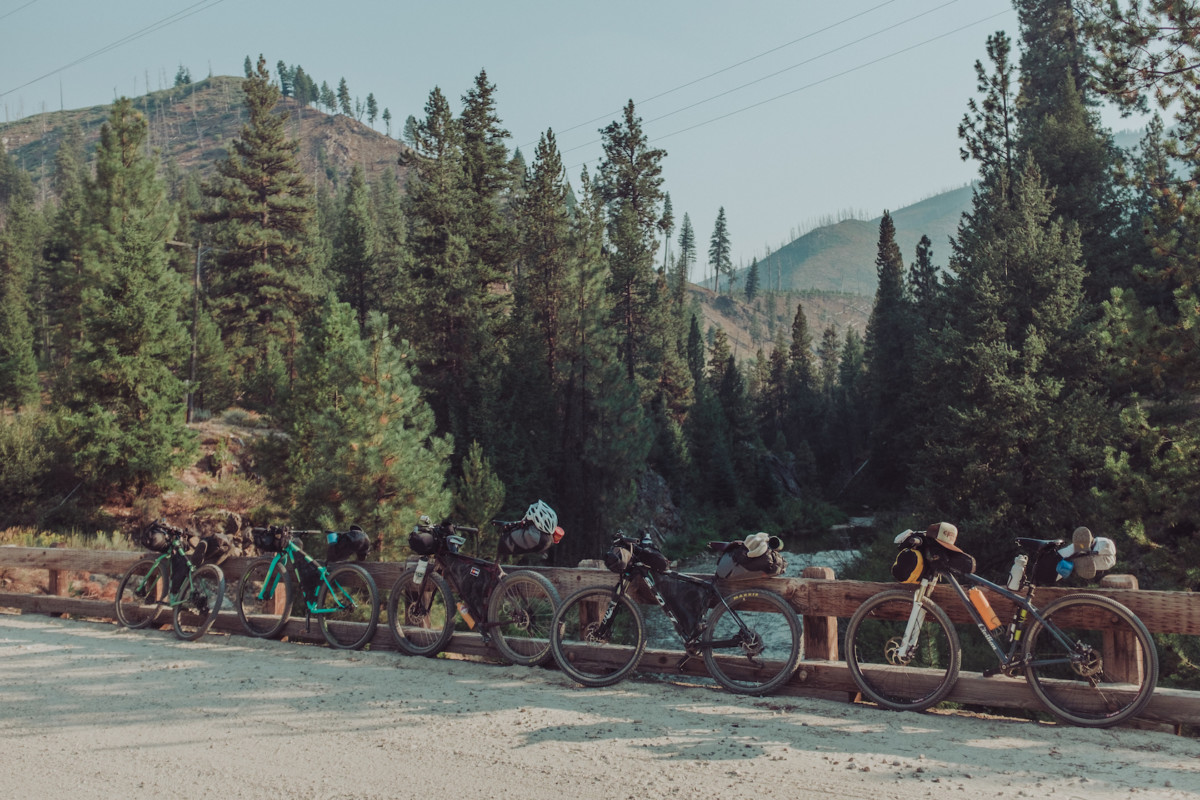
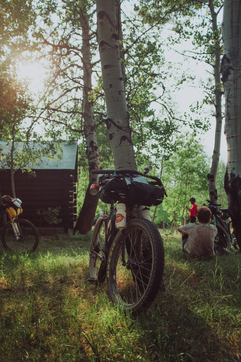
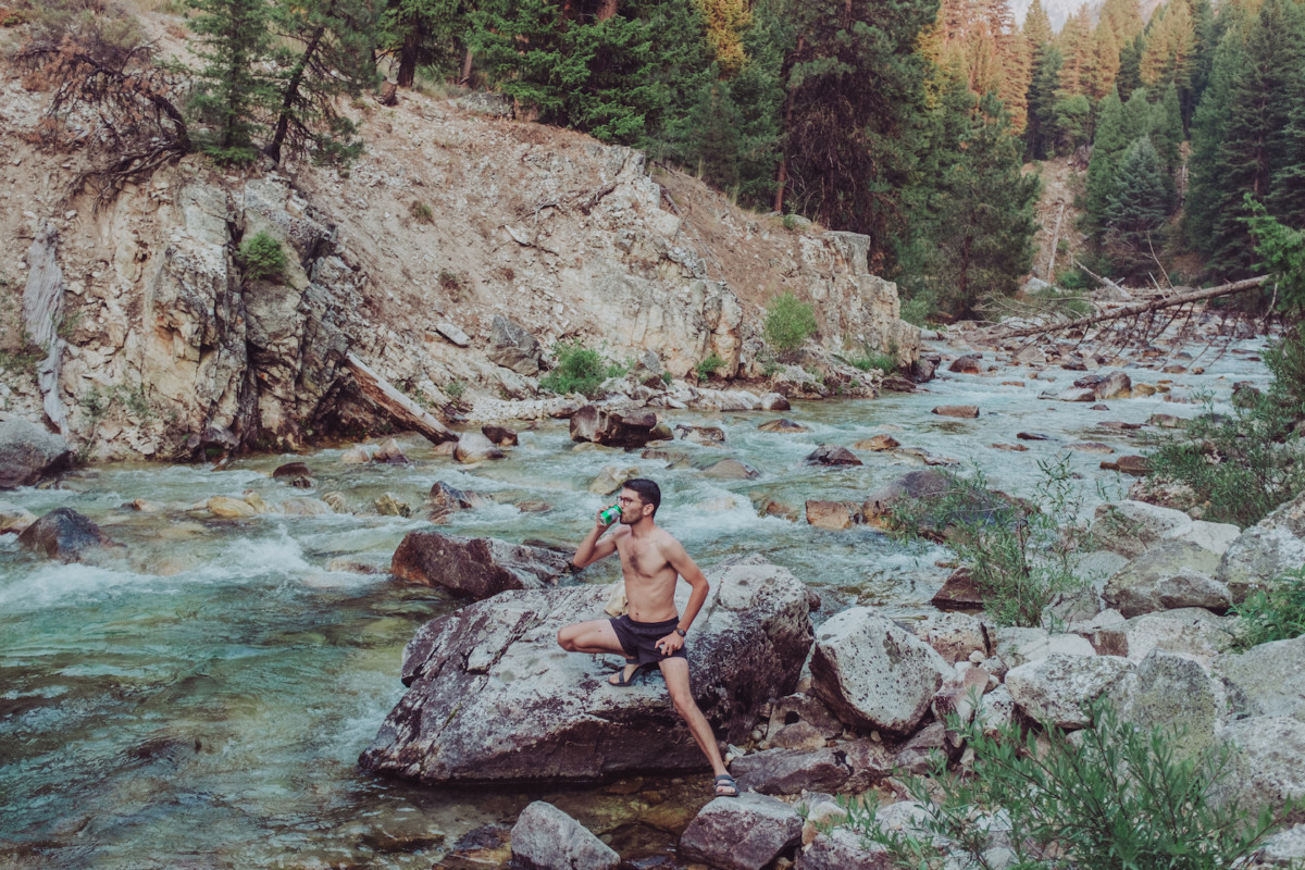
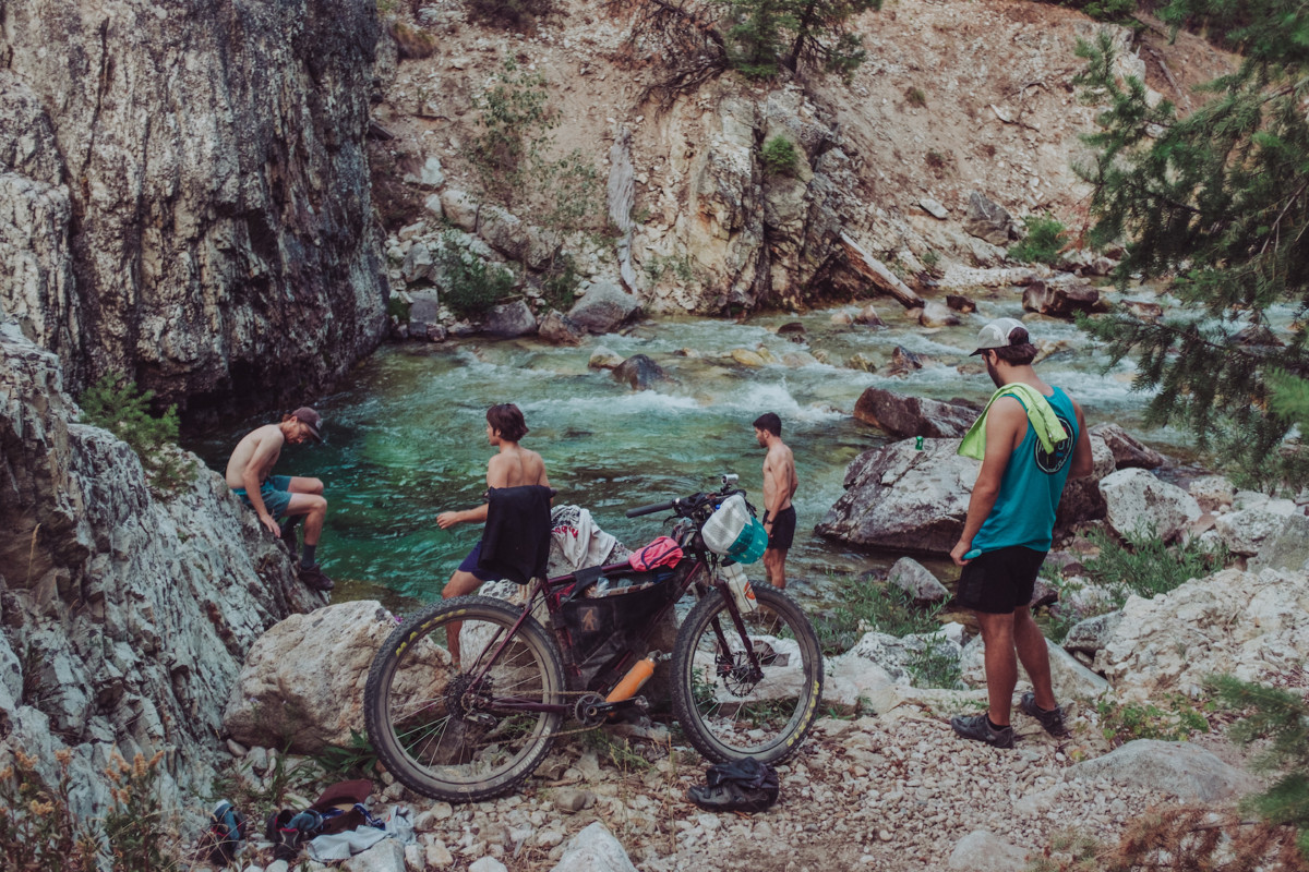
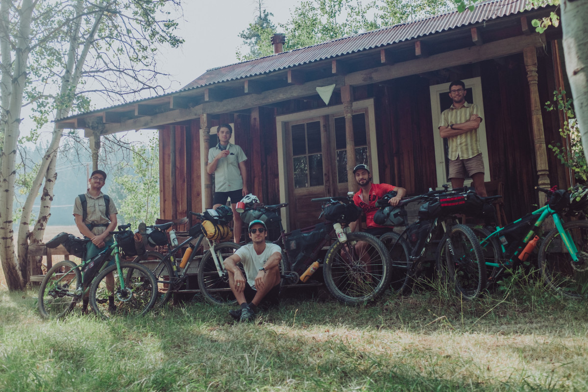
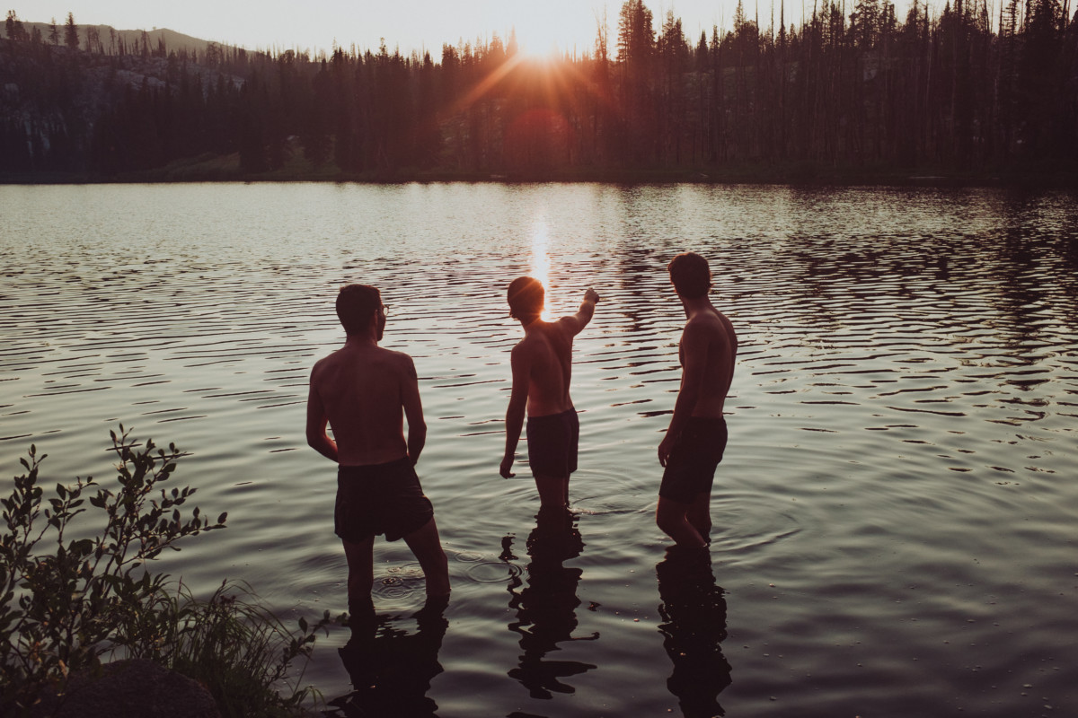
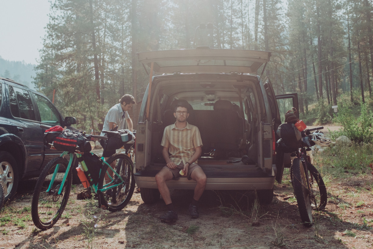
Autumn arrives and the tone of life in the wilderness changes, nights are cooler, the weather holds longer in its whims. All through summer we’ve talked of a ride to Atlanta and the annual Atlanta-Days festival is fast approaching. Five of us decide to meet at Trinity Hot Springs just outside of Pine, ride to Featherville and begin the climb through Rocky Bar and over to the Middle Fork Boise River where we connect up to Atlanta. It’s an arduous ride complete with several stops for water and naps in the shade once we reach the top. Arriving in Atlanta as the sun slowly dips toward the horizon, we set up our tents near a group of rustic cabins on the edge of town, unload our bikes, and ride to a nearby water hole called “The Clubhouse.” My favorite part of any hard ride is swimming in ice cold water afterward and this spot was especially cold.

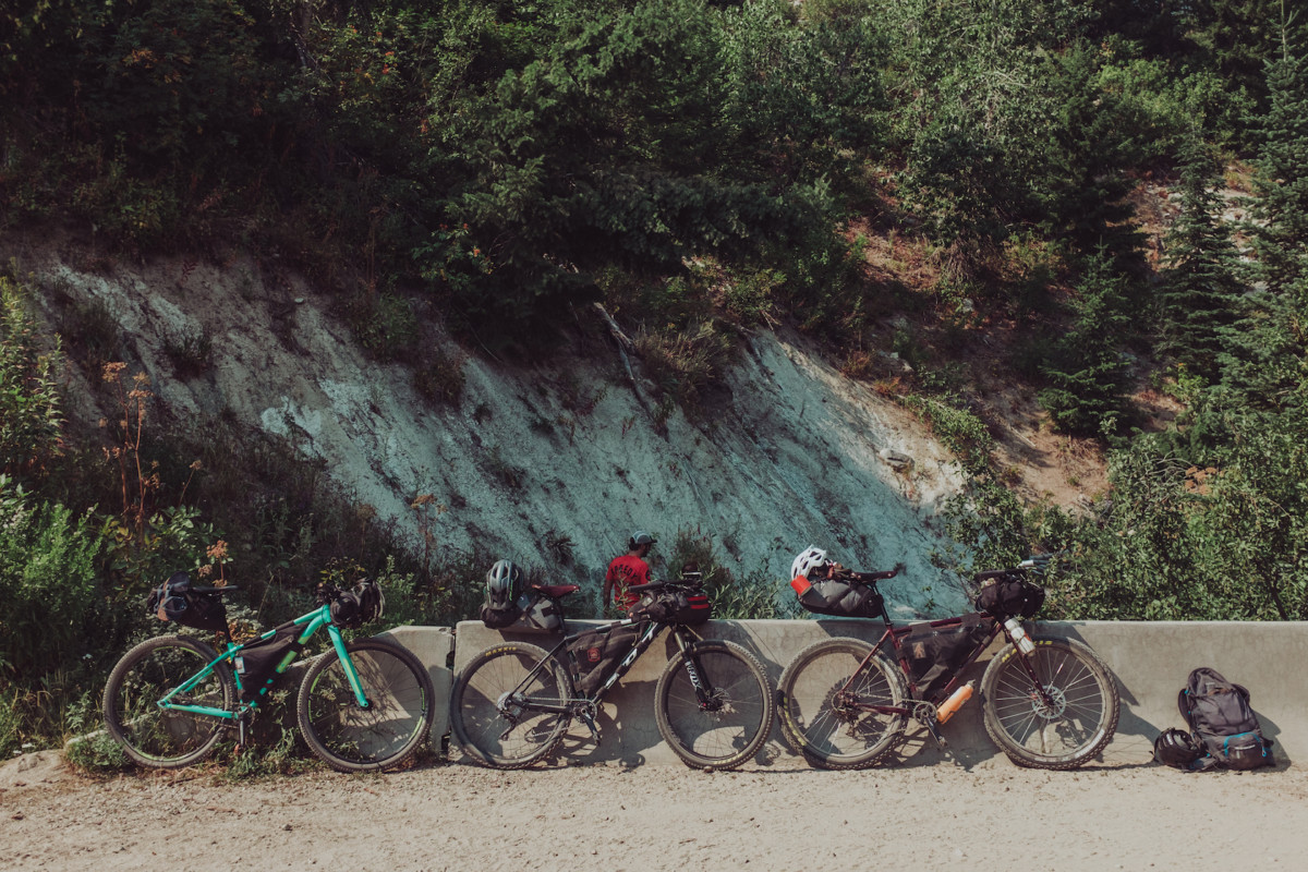
The next day we climb up Phifer Creek Road and traverse Trinity Mountain Road, probably sweating at least half of our body weight along the way. Of all the places I rode this summer, the road to Trinity Mountain is the most beautiful of them all. The views, the clean air, the lack of motorized traffic all combine for an incredible dust-free suffer fest on the way up, and an adrenaline filled flight down the backside. We camp at Big Trinity Lake that night, a bear demolishes an ice chest in the campsite next to us but I sleep right through it, the difficult ride working as an impenetrable sedative on my mind. The photographs below catalogue our trip. Enjoy!

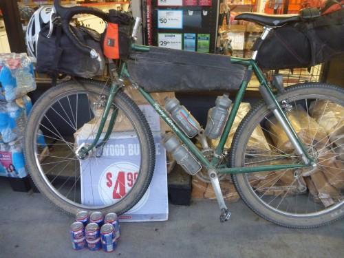
For anyone who is interested, I’m always changing my setup and trying new things. This is usually what I roll with:

Bike:

Clothing:

  • Patagonia capilene leggings
  • Arc’teryx thermal base layer top
  • Icebreaker wool socks for camp
  • 7 Mesh Bibs under shorts
  • Kask Mojito Helmet
  • Swiftwick socks for riding
  • Specialized BG Gel riding gloves
  • Cotton t-shirt
  • Sunglasses / cycling glasses
  • Chacos
  • A random beanie
  • Patagonia down sweater
  • Running shorts for camp / swimming / etc
  • Cycling cap or baseball cap

Electronics:

  • No-name rechargable battery pack
  • iPhone 6s
  • Fuji X100T digital camera
  • Blackdiamond Headlamp
  • Sinewave Cycles Beacon light & USB charging cables
  • Kindle (if I’m traveling alone)
  • Earbud headphones

Sleep setup:

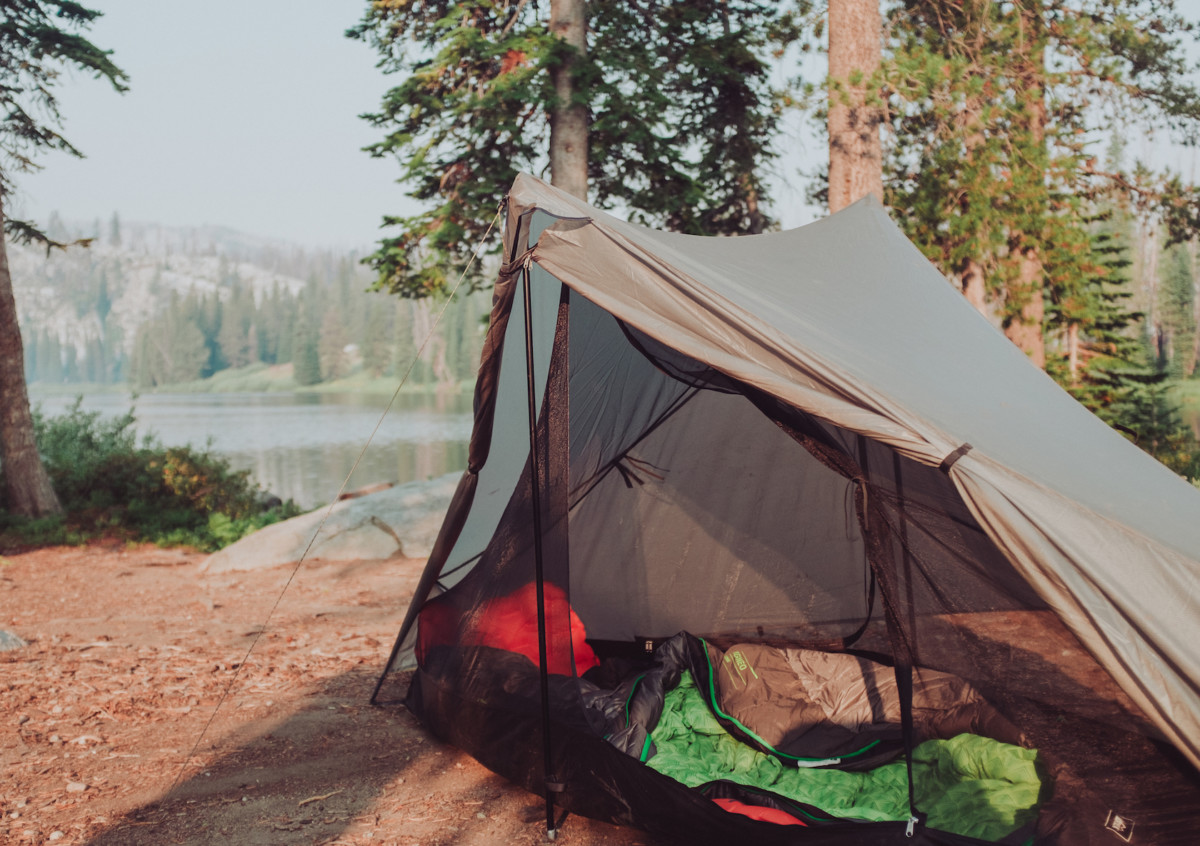
  • Tarptent Notch with poles
  • REI Flash Pad
  • REI Igneo sleeping bag
  • Sea-to-Summit inflatable pillow

Other:

  • A-Lite Monarch Chair
  • Outpost Titanium Pot & Pan (lid)
  • Snowpeak Gigapower Pocket Stove
  • MSR Fuel Canteen
  • Good-to-Go dehydrated meal (Thai Curry changed my life)
  • Spork
  • Vapur 2 liter soft bottle
  • MSR Trail Shot water filter
  • REI pack towel
  • Tool kit (Parktool chair breaker, needle, thread, tire levers, Co2, mini hand-pump, patch kit, etc)
  • Pocket knife
  • Enamel mug
  • Collapsible Helix Coffee Maker + coffee grounds in a pill bottle
  • Tons of snacks
  • Beer / Mini Box of wine / Whiskey / Take your pick
Categories
Other Our Trips Tours and Rides

I Hate Goodbyes…

This day has been coming for a long time but that doesn’t make it any easier.  The Bike Hermit and Sky King gave a characteristically unceremonious final farewell and walked out the door of Bike Touring News HQ today.  We’re not likely to see them around these parts for many months at the very least.  As the Hermit said, “this might be the last time I ever see this place.”  Their exit has been a long, gradual process that has taken up much of the last six months but the finality of their departure weighs heavy as a swollen raincloud on this overcast fall day in Boise.  I’m going to miss the hell out of those two.

Many of you will already have heard that Bike Touring News is under new ownership, that Jim and Stacy are entering a period of semi-retirement to chart a more adventurous path.  Like most of you, I’m thrilled for them (if not a little jealous) and can’t wait to read stories and see photos of their journey.  I look forward to sharing dispatches in the form of blog posts as they journey south, eventually making their way down the length of the Baja Divide.  However, I’m struggling to wrap my mind around the reality of work at Bike Touring News and life in Boise without the Hermit’s good-hearted surliness and Stacy’s youthful joy and caring.  Their departure has already left a palpable void and Bike Touring News HQ suddenly feels quite lonely, like a winding desert road with an uncertain destination.

A couple of weekends ago, I was able to join a handful of friends for Jim and Stacy’s last ride in the Owyhee Canyonlands.  At the time, it felt like just another trip in the desert.  Every journey into that wild, remote country is special and unique but this particular ride didn’t feel all that different from those that came before.  Looking back, it now feels packed with meaning and significance.  We started out separately, rode and camped together, then continued on our separate paths.

Our trajectories in life have been somewhat similar.  Happenstance and shared interests brought us together for a time and now those shared interests are leading us down diverging trails.  I think I first started saying goodbye to Sky and the Hermit when we parted ways on the frosty morning of the second day of our ride to Little Jack’s Creek, as I watched them climb away along the double-track into the cloud-filled sky.  I know our paths will cross again in the future but I’m left wishing we had more time.

Despite my sadness at their leaving, I’m excited and optimistic about the future for all three of us.  They’re pursuing a brave dream, having offloaded nearly all the belongings and encumbrances that tie so many of us down and setting out to ride one of the most ambitious bikepacking routes in the world.  At the same time, I’m embarking on my own adventure of bike shop ownership, building on the foundation they laid over the past six years.  I feel incredibly fortunate to be in a position to move Bike Touring News into the future and am honored by the trust Jim and Stacy have placed in me to carry on their legacy.

They’ll be rolling out of Boise in their big red pickup tomorrow, with bikes in the bed, a Bike Touring News sticker on the bumper and their few earthly possessions securely stowed in the Boles Aero travel trailer.  Come November they’ll be pedaling terra incognita on the Baja Peninsula, camping on beaches, traversing mountains and navigating deserts.  When asked how long they expect to spend on the Baja Divide their answer has always been, “as long as it takes.”

I hope their journey is filled with excitement and discovery, honky tonks and juke joints, cervezas frias y tacos pescados, with only enough difficulty and struggle to highlight the easy, effortless times.  Safe travels, you two.  Take care of yourselves and each other.  Bike Touring News, Boise, and the Owyhee will be awaiting your return, for as long as it takes.


Categories
Idaho Our Trips Tours and Rides

Boise Ridge Road Randonnee: Sunday, June 25

Ready for some challenge and adventure up in the Boise Foothills?  Come ride the third annual Boise Ridge Road Randonnee!  The ride takes in 45 miles with around 7,000 feet of climbing on rugged dirt roads, ATV tracks, a little singletrack and even some pavement.  Though the climbing will test your legs, the views are well worth the effort!  There are also multiple bail-out options for a shorter trip.

This is an unsupported, unsanctioned ride.  You are responsible for your own safety and enjoyment.  Ryan will provide a turn-by-turn cue sheet with a suggested route but you are on your own and free to make your own decisions.  Read on for the details!

The Climbing Begins…

START:  Boise Co-Op (8th and Fort St.) Meet at 8:45.  Ride departs promptly at 9:00am, Sunday June 25.

FINISH:  Sun Ray Cafe (13th and Eastman).  Expect around 8 hours ride time for the complete route depending on fitness and stopped time.

Steep pitches on the Ridge Road, headed toward Lucky Peak

ROUTE DETAILS:  Many sections of the route are unmaintained and conditions are unpredictable.  Expect loose, sandy, rocky and/or rutted conditions in certain places.  Much of the route is also very exposed to the sun, so protect yourself and be sure to start hydrated!  View the route on RideWithGPS here. 

Classic section of Ridge Road with killer views of the Treasure Valley

BIKE SELECTION:  Wide tires (1.75″/42mm and up) and low gears are highly recommended.  Suspension won’t hurt but isn’t necessary.  Any good mountain bike or dirt touring bike will be be fine.  Road, cyclocross or pavement touring bikes are not a good option.

Grinding up switchbacks from Aldape Summit

RESUPPLY NOTES:   There are no resupply options en route with the exception of the Ranch Market at mile 6.5.  Water may be filtered from Robie Creek between mile 30 and 33.  Be prepared to carry all food, water and supplies you will need to complete the route.

The fast, “post-apocalyptic” descent toward Robie Creek

Questions?  Comments?  Sound off below!  You can also head over to the Facebook event page to RSVP or share with your friends.  Don’t forget to tag your photos:  #RidgeRoadRandonnee #BR3 #RidgeRoadRandonneurs #BikeTouringNews.  Let’s Ride!

Categories
Idaho Our Trips Planning Resources Tours and Rides

Grindola Weekend Ride: May 19-21

Spring has finally arrived in southern Idaho and it’s time for a good overnight bike trip!  We’re planning a ride for next weekend and want you to come along!


Spring Riding


For the record, this is not an organized bike race or event and is unsupported, unsanctioned and in no way affiliated with Bike Touring News.  We are offering a suggested route and meeting place/time; nothing more.  You are 100% responsible for yourself and every aspect of your participation.


photo by David Jones / @awakenengage


Disclaimers aside, we hope you’ll join us for what we hope will be a great weekend!  Here’s one version of the plan:

Friday, May 19

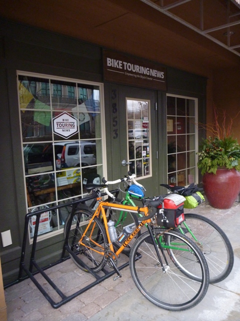
  • Depart Bike Touring News (3853 Garden Center Way) at 4pm.  Ride to Montour Campground.
  • Approx. 27mi & 1,800ft elevation gain.  Mostly paved or well-graded dirt roads with some sustained climbing.
  • https://ridewithgps.com/routes/20783892
  • UPDATE:  The campground is open!  16 spaces available for overnight camping at $8.00/day, as well as dispersed tent camping for $3/day. Campsites are available on a first-come, first-served basis. Potable water and bathrooms are available.

Saturday, May 20

  • Ride the “Grindola” route mapped by David Robert Jones (@awakenengage)
  • Approx. 84mi & 6,500ft elevation gain.  Mostly rolling dirt roads with some sustained climbs and pavement sections.
  • https://ridewithgps.com/routes/20809180
  • Some riders are planning on splitting this segment into an overnighter, camping somewhere at the northern end of the route.
  • For purposes of camping Saturday night we are considering riding this counterclockwise, camping just after the Dodson Pass.

Sunday, May 21

  • Ride back to town via Friday’s route or an alternative.


Want to Trim some Miles?  Shorten the Trip!

There will also be a number of folks driving from Boise to Montour, either Friday night or Saturday morning.  Email [email protected] or call the shop to inquire about ride sharing.  Parking may be limited at the campground but perhaps we can leave cars at the Triangle Cafe.  This itinerary is only a suggestion and you’re welcome to make adjustments or do your own thing!


Rolling Johnson Creek


Bike Suggestions

Wide tires and low gears will make for happy riders.  We’d consider 35mm rubber the minimum, though some prefer the more exotic brand of suffering delivered by skinny tires on Idaho gravel.

We’re psyched to ride and hope you are too!  Call, email or comment with any questions!


photo by David Jones / @awakenengage
Categories
Bikepacking Idaho Living Vicariously Our Trips Surly Bikes Tours and Rides

Riding the Boundary: South Fork Owyhee Wilderness

In our overpopulated world, there are few places where humans rarely venture.  For better or worse, our species has learned how to make a living in just about every environment on Earth and has left only a precious handful of habitats unmolested.  Even in the most remote corner of Idaho – a state with more protected Wilderness than any in the lower 48 – evidence of human history is everywhere.  However, just because humans have been everywhere on our planet doesn’t mean they’re still around.  Some environments are not welcoming to our fragile and demanding bodies.  Despite the challenges of survival in hostile and difficult conditions, wild and unpopulated places call out to us.  The allure of traveling where few people have ever gone – places where evidence of human activity is nearly invisible – is a powerful draw.  This allure makes Wilderness travel undeniably attractive to a certain breed of people who are capable of cutting the cord and tuning in to a more basic way of living.  Five such adventurous souls recently struck out into the vast Wilderness surrounding the South Fork of the Owyhee River for three days of pedal-powered reconnaissance.  This is the story of that journey.

p1190711
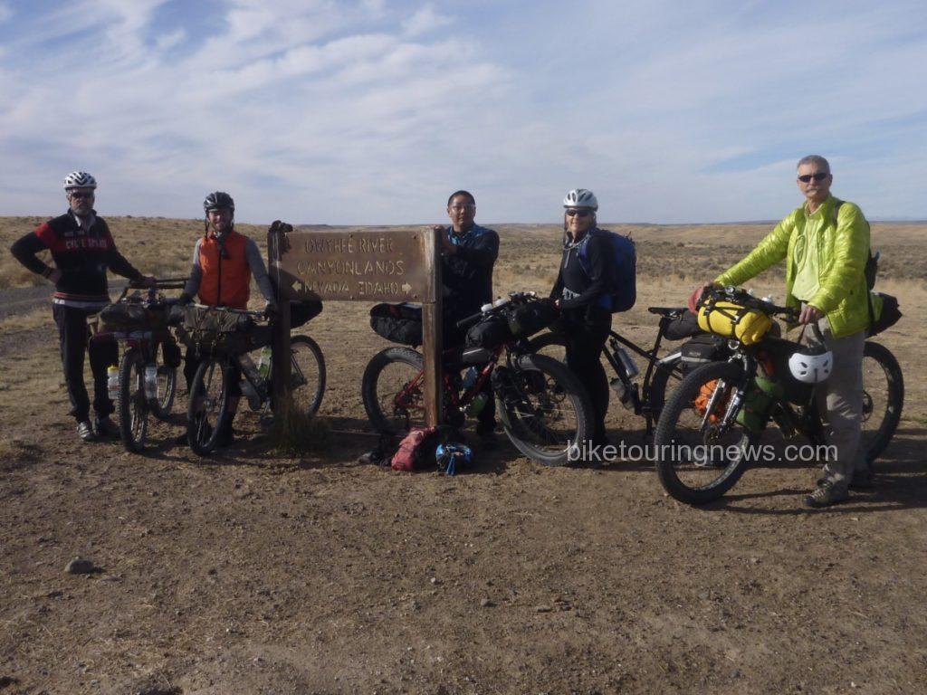
The Crew: (L to R) Bike Hermit, Ryan, Wendell, Sky, Bryan

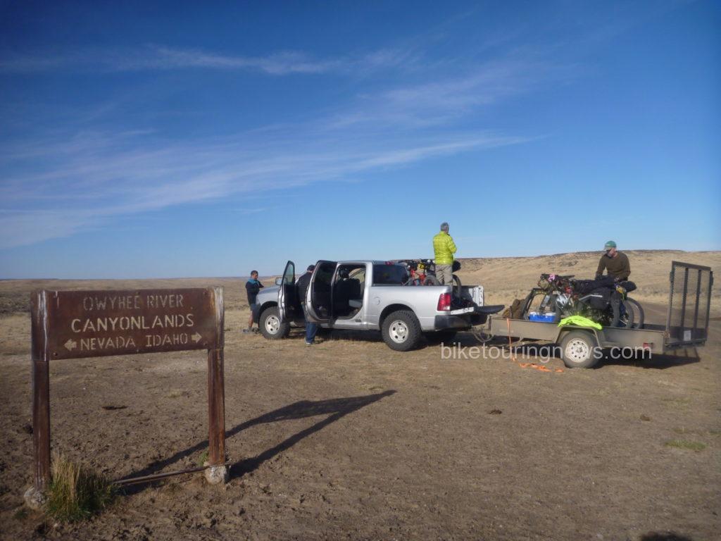
The group convened at the BLM headquarters in Boise to finalize a route and load gear for the 3-hour drive to our drop-off point east of the Duck Valley Indian Reservation, just north of the Nevada border.  After the long drive riding three-abreast in the pickup, we were happy to stretch our legs and breathe the sage-perfumed air while we unloaded bikes.

p1190708

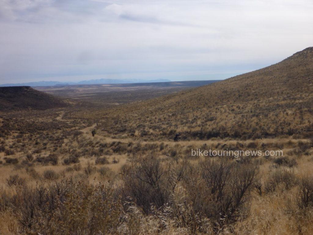
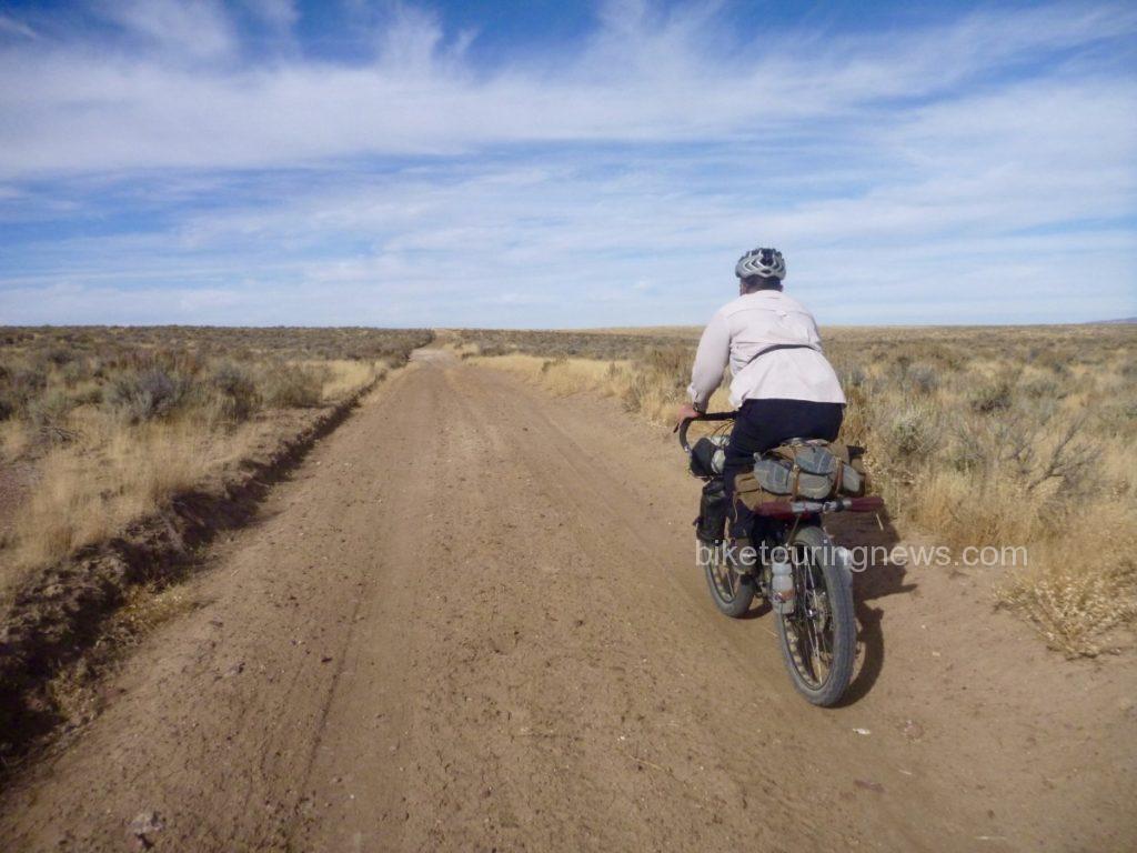
We set off to the west just after 11am, pedaling through Horse Basin toward the Wilderness Boundary.  The miles passed with relative ease on the well packed two-track under sunny skies and with scarcely a hint of wind.  We ground our way up a gradual climb to the plateau and turned to the south in order to survey a longer section of wilderness boundary.

p1190724

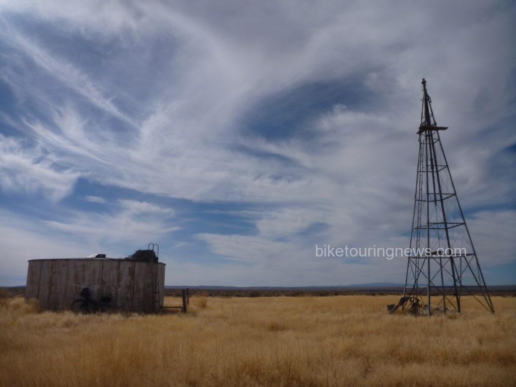
This section of doubletrack was among the smoothest any of our group had ridden in the entire region and a slight tailwind began to push us northward.  The sea of sage was interrupted by two water tanks and windmills; aging remnants of ranch infrastructure.  Each one sat in a grassy circle cleared of sage and featured abandoned eagle nests tucked into the ladder handles of the water tank.  A draft of cool air blew up from the dry well near one of the tanks.  A rock dropped down the tube never found water.

p1190739

As we turned to the west along the boundary line, we came to a rock outcropping and saw the land fall away ahead of us.  From here, we descended into Wilderness along the Coyote Hole Cherrystem to the bank of the South Fork where we would make our first camp.  The road dropped gradually at first but became steeper as we neared the canyon rim.

p1190757

A badger scuttled off the road as we approached, making off into the underbrush.  With sheer rock walls on both sides, we followed the loose, rutted track down its final plunge to river level, finding the ruins of a stone house, livestock pen and even some rusting farming implements.

p1190771

p1190778

The prospect of scratching a living out of the side of this remote stream seemed pretty daunting, but compared with the barren plains above this was a paradise of plenty.  Springs bubbled out of the rocks above, delivering sweet water to wet our whistles.

p1190781

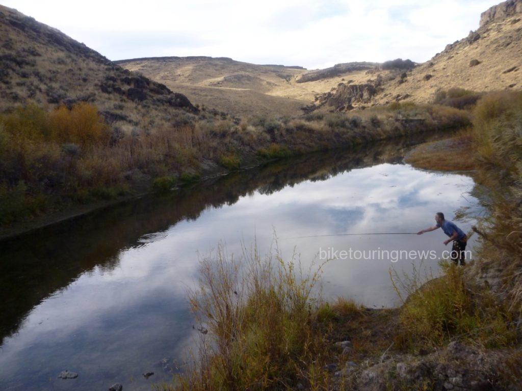
A brief exploration also revealed a river teeming with fish, which turned out to be Northern Pikeminnows.  This provided an ideal opportunity to test the borrowed Tenkara outfit the Bike Hermit packed along.  Thanks for the loan, Don!  This was the first time fishing with Tenkara for me and the Bike Hermit, so look forward to more about that experience in a future post.

p1190789

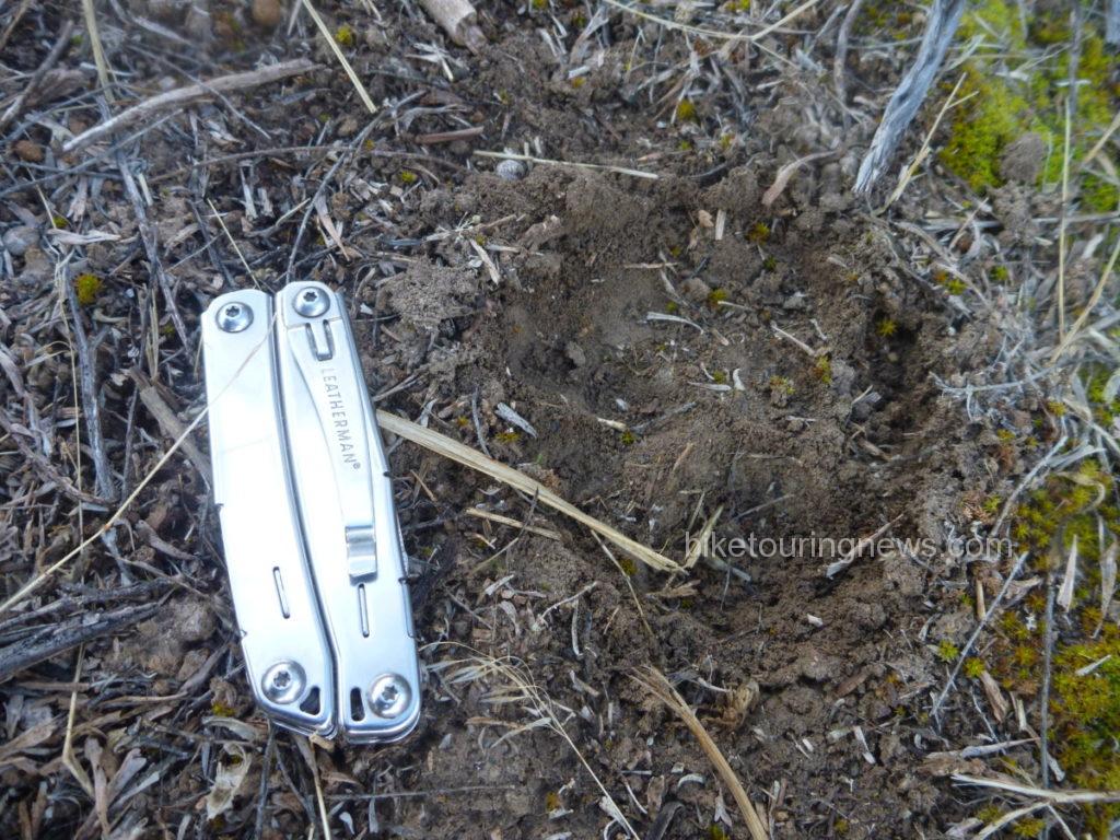
We awoke to temperatures barely above freezing and crawled from the warmth of our shelters to make our breakfast and coffee.  I noticed the tracks of what appeared to be a mountain lion just on the edge of our camp, along a path we had trod the evening before to access the river.  Did we have a visitor in the night?  I can’t say for sure, but it certainly appeared that the big cat had stalked through the bush less than 15 yards from where we slept.

p1190807

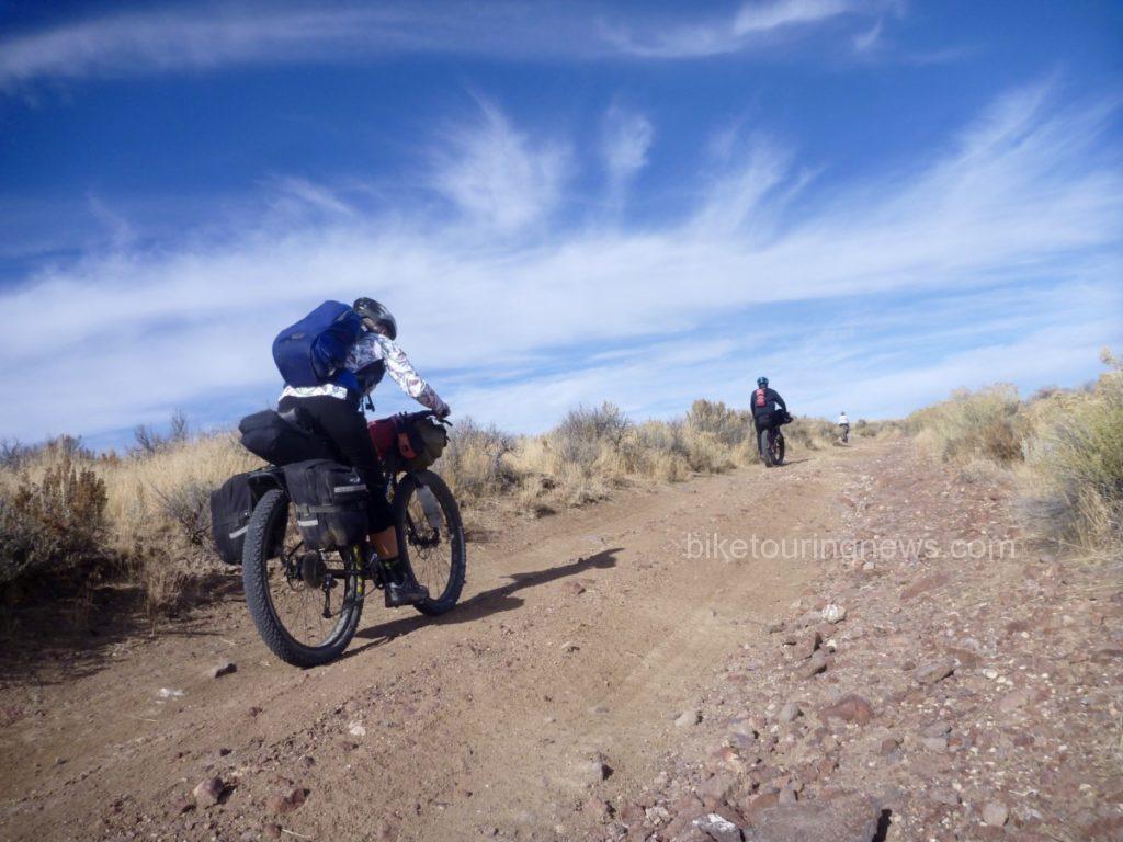
It seemed nobody was in a big hurry to tackle the climb back out of the river canyon.   The first pitches were definitely unrideable on our loaded bikes and even the more forgiving sections tested our legs and determination.  However, the exertions allowed us to quickly shake off the morning’s chill and we found ourselves back on the high plateau.  We made good time northbound along the boundary line, headed for the river ford near the 45 Ranch.

p1190828


p1190839

Once atop a small rise, we were greeted with a stunning panorama of the massive gash in the earth containing the South Fork.  It was clear that the descent to the 45 Ranch was going to be a wild ride, so we strapped our gear down tight and dropped in.  The well-traveled road was delightfully smooth in some spots and terrifyingly rough in others.  The switchbacking grade led us down to the homestead of the 45 Ranch, a privately-owned ranch in partnership with the BLM and the Nature Conservancy.  We passed by the ranch on the way to the boat launch where we would ford the South Fork.             p1190854

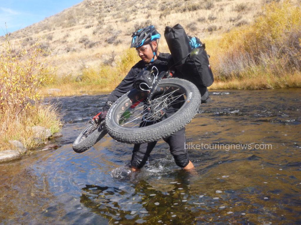
We paused at the river ford to partake of some victuals and prepare ourselves for the uneven footing and swift water.  Group members crossed the river using varying tactics.  Some – like Wendell – carried their bikes above the knee deep water…

p1190879

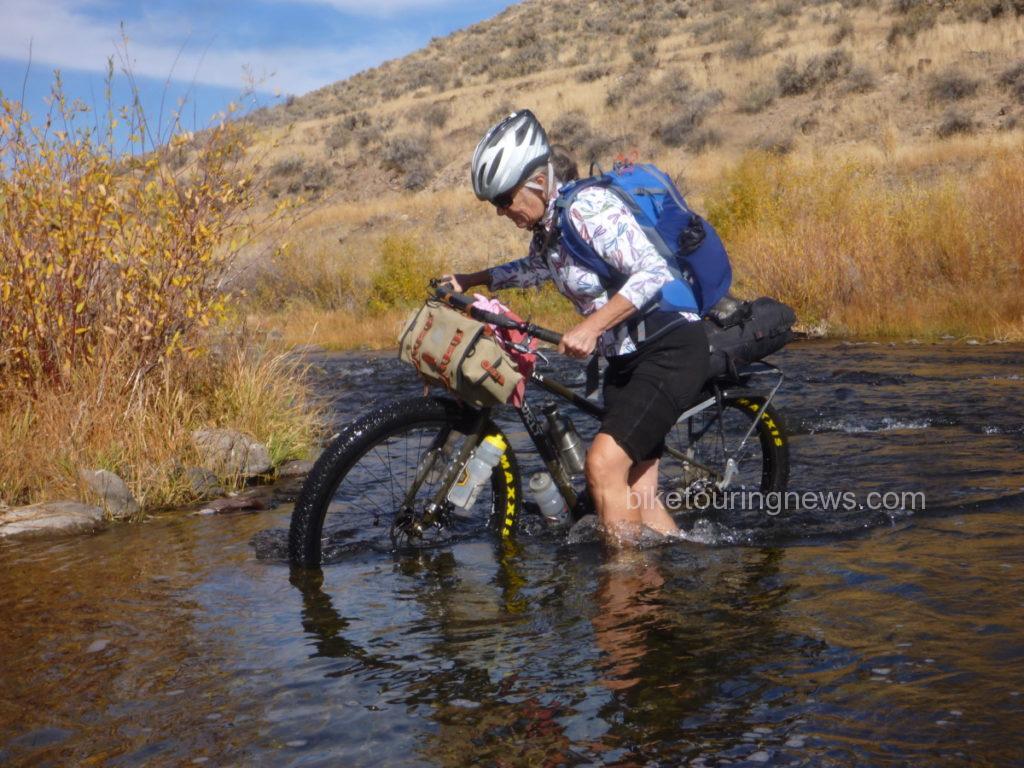
Some – like Sky – pushed their bike along the bottom.  I wonder who does her maintenance…

p1190881

After crossing the river, we left ranch property and returned to the Wilderness along the Little Owyhee Cherrystem.  We started out on a flat, rocky double-track between steep rock walls.  However, when traveling through the Canyonlands, what comes down must always go up.

p1190892

Our mild and scenic road soon turned steep and nasty.  This climb out of the river canyon would be the most trying of the trip.  The combination of intense midday sun, steep grades, deep ruts, off-camber tread, loose dirt and rolling rocks made this climb mentally and physically challenging.  The left-hand track was reasonably smooth and appeared rideable but the loose soil and steep camber caused wheels to slip into the rut at the slightest shift of weight.  Most of us were forced to push our bikes nearly all the way up from the valley floor.

p1190906

The climb ground upward and topped out just uphill from a wide-open barbed wire gate.  One downside to riding in the Canyonlands is that climbs are rarely rewarded with descents as they would be in the mountains.  Instead, we were taunted by steep rollers and an increasing headwind as we headed south, keeping the Wilderness boundary on our left.

p1190916

This section is among the least-visited in the entire Owyhee Canyonlands Wilderness.  Our track showed little evidence of human travel within the past several months, if not longer.  Animal scat, burrows, anthills and sagebrush abounded.  Jackrabbits, coyotes and birds of prey appeared the be the only main road users.  We investigated the heads of the Walcot and South Fork Cherrystems, neither of which had seen traffic in quite some time.

p1190930

After 14 “desert miles” riding through the wide open ocean of dust and sage along the boundary line, we crossed through a gate.  Somewhere past the gate we crossed the unmarked state boundary and into Nevada.  South of the fence, evidence of heavy horse use was everywhere.  Hoofprint potholes and heaping piles of “road apples” littered the double track and made for rough going.  The stiff headwind made life even more difficult.  We were feeling the effects of the tough climbs and long miles as we sought shelter and water for our evening’s camp.  Shadows were already growing long in the road, obscuring rocks and holes in the right-hand track.  Evidence of the fragility of life in the desert was all around.

p1190938

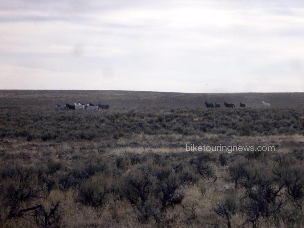
After cresting a small rise, we sighted a group of the horses responsible for the hoofprints and manure piles.  They became aware of our presence and pricked their ears in our direction.  However, they weren’t about to let us get very close.

p1190943

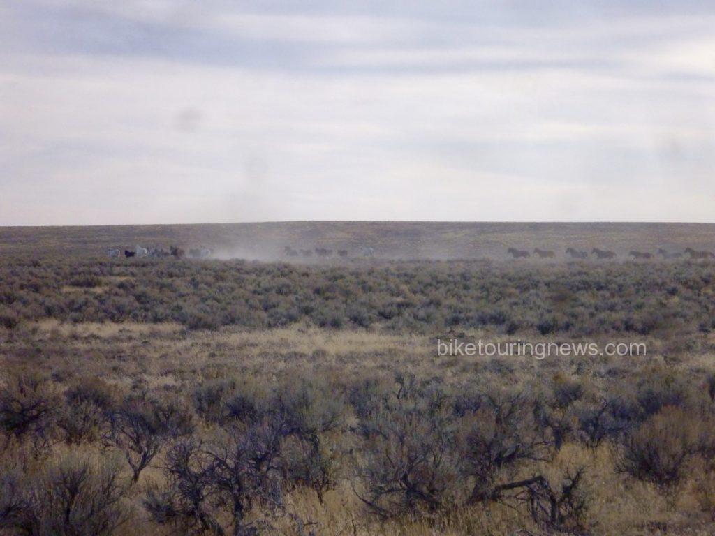
They turned tail and headed east, raising a mighty cloud of dust as they went.

p1190944

We encountered another group as we picked up the Paiute Pipeline road.  They’re just visible on the horizon in the photo below.  Despite their skittishness, we were in their territory and this wouldn’t be the last we’d hear of the horses.   We pedaled on, feeling battered by the rough road, headwind and long miles.  We were quite ready to reach our riverside camp and put our bikes to bed.

p1190947

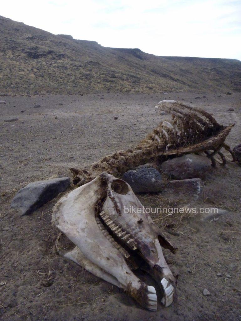
Yet again, we braved a steep, rocky and loose descent into the river plain.  From our high point on the plateau, we looked out across the valley to see the Pipeline road continue across the basin and climb straight up the opposite wall far in the distance.  Evidence of horse mortality presented an ominous sign as we focused on making camp and put the next morning’s challenges out of our minds.

p1190955

With a sigh of relief we reached the second river ford of our trip.  Again, group members took varying approaches.  Wendell opted to stay on the south bank and make his camp above river level.  The rest of the crew elected to make the river crossing now rather than brave the chilly water in the morning.  In our depleted and mentally deficient state, pitching our camp in the middle of the road didn’t sound like such a bad idea.  We prepared our respective meals and turned into our shelters under a clear, starry sky.  The crystalline starscape is one of the biggest rewards for traveling in this tough and forbidding landscape.  Situated in the middle of one of the largest unpopulated areas anywhere in the United States, light pollution is practically non-existent.  I lay in my bivy sack for quite some time, watching shooting stars and soaking in the view of the Milky Way as I dozed off.

On the morning of the third day, the discussion centered around the question, “did you hear those horses last night?!”  At least one of the bands had descended from the plain above to river level for their evening drink, coming nearly right through our camp.  The thunder of their hooves pounding down the rocky slope shook the ground and woke us from our slumber.  The horses retreated when Wendell poked his headlamp out of his tent but continued to snort and stomp along the canyon rim.  Despite our fascination with the equine residents, it was time for us to leave this place.  We were due at the rally point at 11am to meet Evan and head back to civilization.  That meant another grind up from river level, which started right off the bat.

p1190956

This short but brutally steep stretch of Pipeline Road was littered with loose, round rocks that rolled like billiard balls at the slightest touch.  Even on an unloaded fatbike, I’m not sure if it could be climbed.  We had a difficult enough time walking up the cruel grade but were pleased that it didn’t last long.  As we headed northeast toward Idaho, evidence of horses faded and the track grew smoother.  A few rollers in the basin even delivered enough of a speed boost to get us into our big chainrings, perhaps for the first time on this odyssey.

p1190960

The climb out of the basin loomed large in the distance and we prepared ourselves for the final grunt of the trip.  The grade grew steeper the farther up the pitch we climbed and we were all forced to push our bikes to the rim.  Wendell and I waited at the top, watching the rest of the group approach and eyeing the route we had taken yesterday and this morning across the wide-open bowl of grass.

p1190962

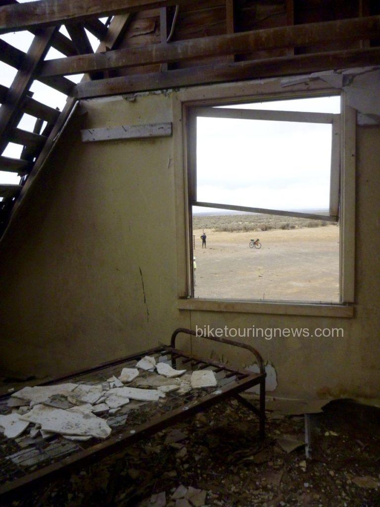
Now back in Idaho, we continued to follow the Pipeline Road until we came across a dilapidated ranch outpost, complete with a two-story cabin, outhouse, workshop and corrals.  Despite the run-down appearance, it was clear that the property still got some occasional use but was no longer suitable as living quarters.  The cabin’s frame and foundation were solid but the roof and windows were long gone and the interior had fallen into deep disrepair.  We struggled to imagine the difficulty of survival through the bitterly cold and windy winters out here on this exposed, isolated plain.

p1190967

Just as we completed our explorations of the cabin and prepared to continue toward our meetup point, we saw the government pickup rumbling down the road toward us.  Our Wilderness adventure was finished.  With mixed emotions, we loaded our bikes and piled back into the truck for the drive back to the modern world.

p1190974

Despite – or perhaps because of – the challenges and difficulty, trips to remote corners of our planet leave us with a better sense of our place in the world.  We are reminded of the fragility of life, especially our own.  We are forced to return to a more basic way of thinking that places priority on simple survival.  When we return to the relative luxury and security of our normal lives, we do well to retain the perspective gained from journeys such as this.  However, regular doses of wildness are essential to the maintenance of that perspective.  That’s why places like this deserve to be protected.  That’s also why we’ll keep going back.


<—{—<<


Categories
Advocacy/Awareness Idaho Our Trips Tours and Rides

Riding The Weiser River Trail

Early last year, a friend of mine (who happens to live in Weiser) mentioned the existence of the Weiser River Trail. I had never heard of it, so I went online to check it out. (Mash here for the main web site. There is also info at the National Recreation Trails site, and the Rails-to-Trails Conservancy)

So, in mid-June of last year, my wife and I and two friends decide to check it out, so we drove out to Weiser and took a short spin on the lower part of the trail, beginning at the Weiser trailhead, which is located a few blocks east of US 95 on Main Street in a residential area. It took us just over an hour to get to Weiser from Boise.

It was a nice jaunt, made tolerable by overcast skies and cooler temps. This part of the trail wends its way through a valley that is mostly farmland. It’s flat and open, but scenic. We rode to the canyon mouth near Galloway Dam and the Presley trailhead, where the trail turns north from its formerly east/west alignment, then turned around and headed back. The round trip was about 16 miles.

Vehicle access to the Presley trailhead is via Weiser River Road. If you turn east on Park St., which is the only traffic light on US 95 in Weiser, it turns into Weiser River Road near the edge of town.

Our initial impressions of the trail were that it was uncrowded, there is very little shade along the way, and it’s pretty rough in spots. Being a Rails-to-Trails conversion, there was still plenty of railroad ballast on the roadway. It mostly consists of what looks like 2” crushers. You definitely want larger, softer tires on this trail.

This year, we decided to tackle the trail again, and try out different sections, as it was reported to us by some locals we met at the Weiser trailhead that the trail conditions improve as you travel further north. Of course, we met them AFTER we just finished our ride, so it was too late to move on up the road to another location. Lunch and liquid refreshment were the order of day at that point.

Memorial Weekend 2016 – Weiser to Thousand Springs Creek

I somehow convinced my son to join me on a camping trip on the trail. Paying for the requisite improvements to his bike (thanks, Jim!) probably didn’t hurt. We loaded up our gear on Saturday morning and headed out with high hopes. My friend who lives in Weiser agreed to let us leave our car in the street by his house, so it wouldn’t be sitting at a trailhead for multiple days (what can I say, I’m paranoid). This added another 2 miles to the ride at either end, but we got a scenic tour of the town of Weiser that way.

We got on the way shortly after noon, and after a couple miles on the trail we decided to cut over to Weiser River Road for a smoother paved road ride, so as to stave off saddle soreness as long as possible. We did encounter some interesting-looking local fauna on that leg of the trip, too.

(Note strategic placement of thumb shifter in photo. Composition is everything!)

We rejoined the trail at Galloway Dam and carried on from there. From this point, all the way to our campsite and back to the dam the next day, we never saw anyone else on the trail. We did encounter a group of kayakers who told us about the campsite we stayed at (“..it’s only a few miles up the trail!”), and they mentioned that they had ridden the trail the previous weekend when it was a muddy mess from a recent storm. They indicated that they liked it that way, too.

One thing about this whole leg was that there wasn’t much in the way of easy access to the river. I was carrying a Katadyn filter and towards the later part of the afternoon I was starting to wonder when I might be able to refill our water bottles. Fortunately we encountered our campsite shortly after, and it included a small beach where you could pump water pretty easily.

The campsite is improved, and is in a small section of BLM land. It includes a fire pit, picnic table, bench, and a porta potty a short ways down the road (so you don’t have to smell it). It is located at Thousand Springs Creek.

Looking north

Looking south

Here we spent an uneventful, if slightly uncomfortable, night. This was mostly due to not having super nice sleeping pads, but it was also pretty windy and noisy all night long.

The next morning we got up, had breakfast, packed up, and headed back. We might have gone further if we felt more rested, but the slow going (for us) road conditions and a late-ish start the previous day convinced us to call it a trip at that point. I had hoped to get to Midvale the first day, but we didn’t quite make it. That’s about ten miles further along.

The butte on the other side of the river the next morning, to the NE of the bridge. We saw some goats grazing on the hillside the previous evening, along with a fox that took off like a flash when it spotted us.

Taylor fiddling with something on his bike prior to departing.

If you like this kind of scenery, the Weiser River Trail has oodles of it!

Taking advantage of a rare spot of shade for a snack and a drink.

No strollers or roller-bladers here! Eat your heart out, Boise Greenbelt. Taylor is up ahead doing his Roadrunner impersonation. Meep! Meep! (We used to live in NM, so we know that roadrunners don’t actually run very fast.)

Midvale to Cambridge, June 19th (Father’s Day)

Leesa and I decided to be anti-social and head out on a fine Father’s Day Sunday for another section of the trail. This section features more farmland, and a short but interesting part that goes through a canyon right before you arrive in the thriving metropolis of Cambridge.

The trail conditions along here are better than the southernmost section, for the most part. It’s still a dirt trail, no matter how you slice it.

The trailhead at Midvale is at a nice shady park with water and a porta-potty. There’s a nice restaurant at the south end of town, too (about 200 yards from the trailhead – Midvale is not very big).

The round-trip distance worked out to about 18 miles.

We saw two does, or we saw this one twice. We also saw a really nice 4 point buck just south of Cambridge, but he ran off before we could take a picture of him.

Leesa having a rest in the shade at Cambridge.

Looking south from Cambridge trailhead. The Washington County fairgrounds are on the left. Leesa is the pink speck.

Just south of Cambridge looking south, just before the canyon.

Out in the farm country between Cambridge and Midvale.

Evergreen Campground trailhead to Tamarack (July 17th)

Wanting to see some different scenery, we opted to take a trip up into the mountains and ride the top section of the trail. There is a trailhead inside the Evergreen campground, which is up in the mountains a short ways from Council on US 95 – maybe 20 minutes drive time. The main trailhead at the northern terminus of the trail is at Tamarack, but the trail extends a short ways further from there. The Tamarack trailhead is located off to the east side of 95 just slightly north of the lumber mill. There is a road going into a meadow, and the trailhead parking area is back about 3/8 of a mile and features lots of parking, horse thingies, a pit toilet, water, and a picnic table.

We parked at Evergreen and rode up to Tamarack and back down, which is about a 13 mile round trip. There is some climbing on this section (beyond the 2% grade that you’re already climbing), especially right near the lumber mill. There is a lovely spot there with some steep switchbacks which are covered generously with loose gravel. Going up isn’t a problem, but coming down requires a steady hand.

This part of the trail is smoother than some of the more desert-like sections, and has more shade, since you’re up in the mountains.

Unfortunately, we left the camera in the car that day, so we don’t have any pictures from this segment.

Council to Fruitvale (August 6th)

This was supposed to be Council to Evergreen, but the weather forecast for Council was way off on the web (thanks, Intellicast!), so we had to cut it short due to high temperatures. It’s too bad, because just past Fruitvale the trail takes some serious bends and then heads up into the hills. We’ll catch that section some other time.

The Council trailhead is easy to get to. Just turn left in downtown Council right where the highway takes a hard right turn, and just follow that road as it winds to the right. The trailhead is easily visible just up on the left, and features a covered table and a porta potty cleverly hidden behind a storage shed on the other side of the road. If you head north on the trail, you will see it on the right.

This section was pretty much farmland, but did have lots of apple trees and huckleberries growing right along the trail. (The apples were definitely all “organic,” if you know what I mean.) The trail mostly runs straight right through to Fruitvale.

Just south of Fruitvale, looking north. Much of the visible shrubbery along the trail right here has fruit on it.

A hot and tired Leesa, ready for a ride in an air-conditioned car. Note the shed in the background – the porta potty is right behind it.

We haven’t been on the Cambridge to Council section but apparently there is a hot springs along there. After riding in 95 degree weather, a soak in hot water didn’t sound all that great, but later in the year it might be much more appealing.

To Sum Up, and some random blathering about printed materials

The Weiser River Trail is a nice change of pace and scenery from some other local trails, like the Boise Greenbelt. It’s close enough to get to with a relatively short drive (relative to driving up to Coeur d’Alene, for example), but far enough and unknown enough to provide some solitude while out riding. It’s also long enough to provide multiple opportunities to ride it without seeing the same thing twice, unless you just have to do the whole thing all at once. The other nice thing is that all the access to the trail is along US 95 north of I-84, which is a scenic drive and not as winding and congested as Hwy 55.

If you are an old fashioned type who likes paper maps, the BLM 30 x 60 minute (1:100,000 scale) maps are a good resource. The two that cover the whole trail are McCall and Weiser. These maps are available for $4 each at the Forest Service offices on Vinnell Way across from Walmart, and across from NIFC on Development Ave. over by the Boise airport. Just remember that they still show the trail as railroad tracks, and you’ll do just fine.

Other resources include a nice brochure about the trail, if you can find it. They have them at the Colonial Motel in Weiser, which also provides a shuttle service for cyclists. I haven’t used it, so I can’t say much more about that. They are on Main St. west of 95, near the McDonald’s restaurant.

Save

Categories
Bike Touring Tips Montana Our Trips Tours and Rides

Stuff Bike Touring Chicks Say

In honor of my first real bike trip with Sky King and The Bike Hermit, I give you stuff bike touring chicks say…

Seriously, is this headwind for real? Is it always uphill? I hate bike touring. I should have trained more. That cheeseburger was a bad idea. Does that sign seriously say “chain up area”, sh*t. Pedal 1,2,3,4, pedal 1,2,3,4. Okay my legs aren’t working. My butt hurts. Do I have a flat? How much sugar is in these shot block things anyway? Was that guy cute? Do I look cute? Wow, it’s like so pretty out here. Oh crap, I’m in the middle of the road again. Oh crap, I almost went off the road again. I swear to god if the bike hermit says “you’ll have this in bike touring” one more time, i’m pushing him off his bike.

More to come about the actual trip, stay tuned!

xoxo

Sub24Obabe

Categories
Idaho Living Vicariously Our Trips Tours and Rides

Trials of the Owyhee

When we arrived at the trailhead we were a hardy band of 16 or 17, many of whom were venturing into this high desert landscape for the first time.  After several weeks of cloudy, wet and often icy winter weather in the Treasure Valley, we were primed and ready for a sunny day in the desert.  The weather forecast looked to be on our side and we hoped that the recent spell of dry weather would have allowed the roads and trails of the Owyhee country to dry sufficiently.

Unfortunately, we had driven into a thick fog bank outside of Grandview.  The chilly, moisture-laden air  penetrated our clothing and had many of us wondering if we had brought enough layers.  Also, the looming threat of wet conditions stood to dash all our hopes of venturing into this rarely visited area of Idaho.
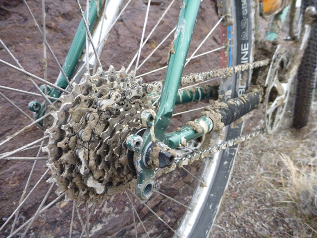
When moisture is present in sufficient amounts in this parched, erosion-prone landscape, the silty, flourlike soil of the flood plains and river bottoms becomes a sort of sticky dough.  This is cruel stuff.  Part quick-drying cement, part biscuit batter with a wide assortment of stones, sticks and other detritus spread throughout, the “Owyhee Gumbo” is legendary for its ability to stick to just about anything and set hard, preventing bicycle wheels from turning and fouling all manner of moving parts.
Knowing that we may have to abort the ride if we encountered sustained muddy conditions, we unloaded bikes in a farm road turnout, made our final preparations and pedaled west on the chunky gravel to see what the day would bring.

P1160764

Unfortunately, the conditions quickly deteriorated as the road entered a flood plain and made several crossings of the rutted, sloppy stream bed.  These were precisely the kind of conditions we were hoping to avoid.  Photos cannot do justice to the evil of this particular breed of mud.

P1160769

The more experienced Owyhee travelers made their way through the rocks and brush off to the side of the main tracks.  The uninitiated, stubborn or foolhardy among us charged headlong into the silty, sinking mudholes.  We sunk in slop over our rims and up to our pedals.  Our wheels rapidly packed with the silty, dough-like mud and scraped their way between fork blades and rear stays.  Then the Owyhee Gumbo claimed a victim.
I pedaled smoothly into a deeper section of mud, coasted breifly through the worst of it and began pedaling to churn my way up the little rise from the bottom of the stream bed.  I heard a snap and felt my chain lock up.  Expecting a simple clog, I looked down to see my rear derailleur twisted against the rear of my cassette.  The parallelogram had snapped cleanly off, leaving only the upper knuckle still attached to the hanger.  Great.  We were less than two miles into our ride and I was wondering if my day might already be over.  As it turned out, I wasn’t the only one feeling that way.

While I set about assessing the damage and feasibility of a solution, the mutiny in our ranks was already taking place.  Talk of gravel road alternatives, broken bikes and carwashes drifted through the canyon as I unbolted what was left of my derailleur and stripped off the shifter cable.  I punched a pin out of my chain while other voices countered that conditions were bound to improve when we climbed out of the drainage onto the plateau above.  By the time I had found a workable gear and shortened the chain to rig my machine into a singlespeed, all but seven of our once mighty expedition force had beaten a retreat back to the cars.  Such is the fickle nature of desert travel, especially in the winter.

P1160783

Somewhat demoralized but not yet beaten, I decided to press on and try my luck with the intrepid remaining crew: Jim, Stacy, Wendell, Star, Sal and Kurt.  Afraid that my overstressed chain might snap or derail with heavy pedaling, I did my best to keep my cadence quick and light.   My confidence in the ad-hoc singlespeed rig improved when it withstood a few out-of-the-saddle efforts to get over some punchy climbs.  Fortunately, our planned route would climb gradually until the turnaround point, so I could expect to coast a good portion of the return leg if my repair failed and I was forced to bail at any point along the way.
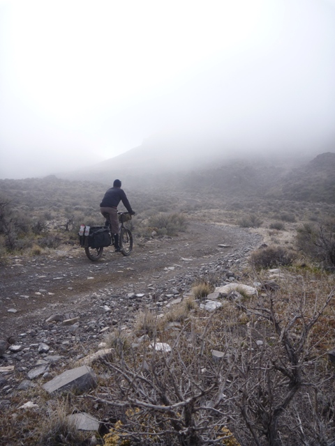
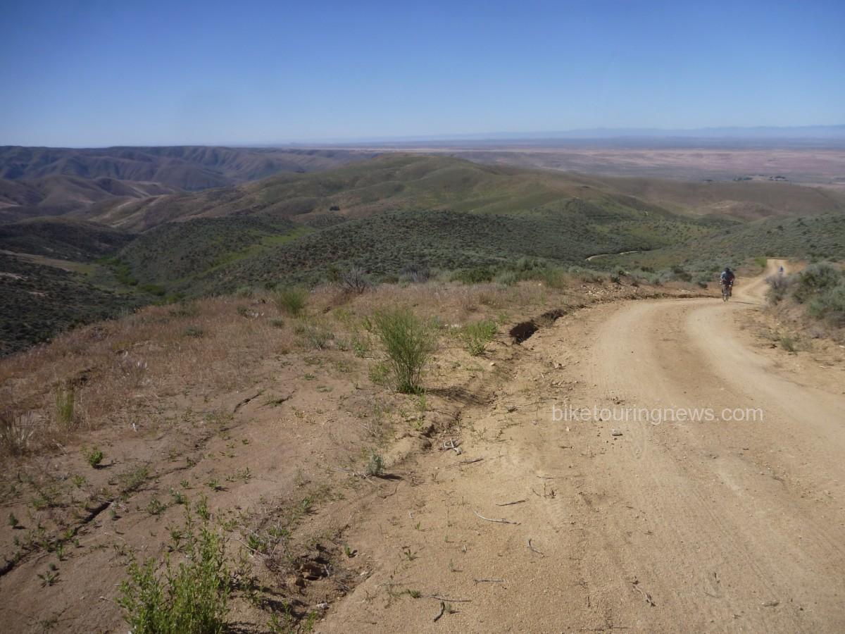
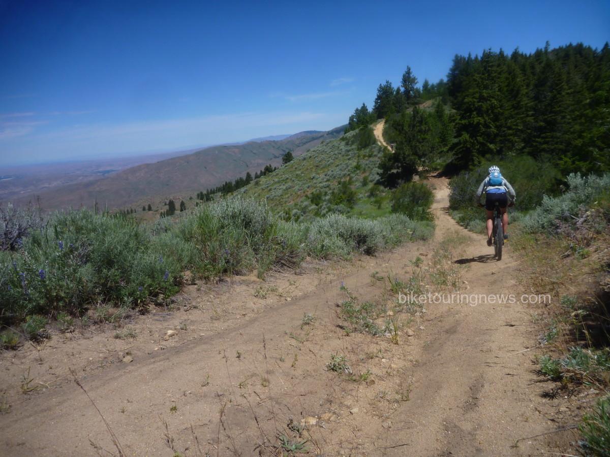
As we had hoped, road conditions improved dramatically as we gained elevation.  Once on the plateau, the well-graveled double track had a soft, spongy feel under our tires but did not have the same sticky, glutenous, dough-like texture we had encountered down in the wash.  We picked our way around a handful of trouble spots as we pedaled our way through the fog, into the void.

P1160778

We stopped briefly for a snack at a rock outcropping, hoping the sun would burn its way through the fog that clung to the sagebrush and stone.  The sloping walls bordering Big Horse Basin Gap were barely visible through the haze as we approached but the suspended vapor glowed brightly with the warmth of the sun, calling us higher.
P1160796

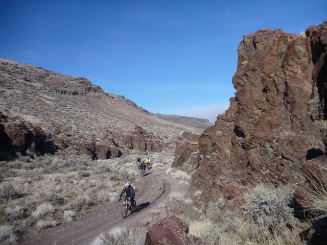
We climbed into the gap, slowly gaining elevation until we emerged in a world of light and clear blue skies.

P1160800

We rode through the corridors of stone, soaking up the warming rays of the January sun and feeling wholly justified in having made it through the trials below to earn this reward.

P1160820

The road wound its way through the pass, bordered by eroded rock spires and chimneys.

P1160822

Finally, we emerged from the gap into the full glory of Horse Basin.  Towers of batholithic rock bordered the road as we grunted up the final steep pitch to reach the next plateau.

P1160813

Feeling energized by the sun and spurred on by the desire to keep my gear turning at a quick cadence, I pressed on up the road ahead of the rest of the group.  Forging into new territory, I soaked up the landscape as I powered my singlespeed southbound over the rocky, rolling terrain.  At the high point of our ride – 4,300 feet up on the desert plateau between the deep canyons of Big and Little Jack Creeks – I paused for a stretch and to regroup before heading down the cherrystem trail to our final destination.

P1160832

Wendell, ever the enthusiastic high-desert explorer, led the descent to the canyon’s edge.

P1160844

Sky followed with the rest of the crew, exhilarated by the quick descent on the cherrystem to the edge of the canyon and the wilderness beyond.

P1160847

Now, where I come from back in good ol’ Dixieland, our creeks don’t look much like this.  It is hard to believe that Big Jack Creek – the stream that carved this massive gorge out of the sand and rock – is only a minor tributary of the Bruneau River and not a stream with the power of the Owyhee or the Snake.

P1160860

We loafed in the sunshine and explored to our hearts’ content, snacking on whatever provisions we had brought along while soaking up the unadulterated quiet.  Though we may have wanted to toss out our bedrolls and stay the night, duty and responsibility called us back to the city.  We would have to wait until another day to watch the stars come out over the desert.  Reluctantly, we packed our bikes and pedaled back up the cherrystem to begin the return leg of the journey.

P1160867

We were rewarded with a light breeze and mellow downgrade for most of our ride through the Basin, toward the gap in the rocks far in the distance.  I was able to spin my gear at a quick cadence and carry easy speed but fell off the wheel of the faster descenders when things got steeper.

P1160881

As we made our way back down into Big Horse Basin Gap, we were pleased to find that the fog had completely burned off in the intervening time, allowing clear views of the surrounding country that had been invisible that morning.

P1160889

We used a larger helping of caution when returning through the still-sodden river bed, however.  The sun had done some good work drying things out but there was still no safe line along the main path.  We took to the bush on the high side of the drainage, looking for footing on large rocks to avoid the slippery, clinging batter that weighed down our bikes and threatened to come over the tops of our shoes.  Finally, we emerged back onto the heavy gravel and cruised down the final dip in the road to the cars where clean clothes and cold beverages awaited.  We rubbed our legs and stretched our arms in the glow of twilight, quite pleased with our day’s work.  Finally, we piled back into our vehicles for the ride back to town and hatched schemes for future expeditions into this strange and beautiful country.

P1160908

Categories
Idaho Tours and Rides

A Ride With The General

A couple of weeks ago – while the Bike Hermit and Sky King were out gallavanting around west Texas – a longtime customer from McCall called the shop.  He introduced himself as Chris but I’m told he’s known as “The General” in certain circles.  He was heading to Boise for a long weekend to escape from the pre-ski-season cold and was hoping to get a ride or two in.  Naturally, I was pleased to have a good excuse for a longer ride than my usual December fare and was happy to oblige.

We agreed to meet Thursday morning for a two-hour spin before I was to be in the shop at 12:00.  We settled on a loop that would take us up Willow Creek Road and across Pearl Road before heading south via Hwy 55 for the return leg.  Had we paid much attention to the map, we might have deduced that we had no hope of covering 45 miles and 3,000 feet of elevation gain in our allotted time.  However, ignorance is bliss and it was in a state of uninformed excitement that I rolled up to the shop at 9:30 Thursday morning.  It happens to the best of us.  Due to ignorance, poor planning or a simple twist of fate find ourselves out on the bike for twice as long as we think.  This was one of those kind of rides.  I’ll go ahead and confess: I was late to work.

P1160551
‘Cross Bikes at the Shop

Despite low-hanging, gray skies and the looming threat of rain we filled bottles, double-checked tire pressure and prepared to roll out of Boise along the popular Hill Road bike route.

P1160553
The General’s Steed with Lone Peak Kickback Top Tube Bag

We cruised westbound at a conversational pace on the flat, smooth asphalt.  On the outskirts of the neighboring town of Eagle, we turned northbound and into the hills.  It wasn’t long before the nice, level road through housing developments and farmland kicked uphill and carried us into the open country north of the Treasure Valley settlements.

P1160562
Cresting a Hill, Rolling Northbound

After a few ups and downs, Willow Creek Road soon turns to dirt.  Recent rains had tacked down the normally dusty surface and we were greeted with excellent conditions.  The road was fast, grippy and reasonably smooth other than the odd pothole and occasional section of washboard or braking bumps.  However, this section of road appears to get good, regular maintenance.  The same can’t be said for many of the sections that still lied ahead.

P1160568

The road signs confirmed that we were heading into more exciting territory.  The road began to wind steadily uphill through a narrow canyon.  We encountered some sections of softer dirt that had us double checking our tires for slow leaks.  There were none, it was only the energy-sapping spongy road tread that robbed our previous efficiency.

P1160572

The soggy tread combined with the steady 6-7% grades and occasional steeper corners to make the Willow Creek climb a proper challenge for us both.  The road continued to wind its way uphill for the next six miles, gradually bending eastward through the mining claims on Pearl Road.

P1160573
The General on Willow Creek Road

Thankfully, we saw only one large, lumbering mining truck working the claims that day.  Other than the diesel-belching dump truck, we hadn’t encountered a single other vehicle since turning onto Willow Creek Road.  I’m always a little amazed how far away from the big city you can be with just a few miles between you and downtown Boise.  Though barely 20 miles from the Capitol dome, we had entered the land of abandoned mineshafts marked by the bullet hole-ridden husks of ancient automobiles.

P1160576
Old Mine Entrance on Pearl Road

When we finally reached the summit of Pearl Road, we were greeted by an expansive view of the Boise Front, spread out to the west.  The low-hanging clouds concealed the snowy summits but the panorama still made a worthy reward for the exertions of the climb.

P1160585
View from the Pass

On the descent from the Pearl Road summit to Hwy 55, road conditions deteriorated dramatically.  Signs warned of the lack of winter maintenance.  We were now on the wetter side of the ridgeline and it showed.  Deep ruts filled with muddy water had formed in the road and the entire tread was a slippery mess of saturated clay and fine sand.  Harried by a high-school-aged kid joyriding in the slop on his dirt bike, we descended through the challenging conditions as our tires snowballed into rolling hoops of tacky mud.

We finally arrived at the intersection of Pearl Road and Hwy 55 in a chilly drizzle, glad to have made it through the muddy section without a spill in the frigid muck.  We donned rain jackets and pulled our earflaps low for the quick descent on the highway shoulder.  At this point, I was already well overdue at the shop and near the end of my food stores.  I tucked low over my handlebars and allowed the grade to carry me back down to town.

P1160591
Readying for the Descent

Before long, I looked back and saw Chris fading out of sight behind me.  Spurred on through the flatlands by tardiness and hunger, I kept turning the pedals as quickly as I could despite the cold, fatigue and calorie deficit.  The return leg along Hill Road felt practically interminable until I finally reached the intersection of Hill and 36th, unlocked the shop door with my frozen fingers and shuffled my dirty feet inside.

The phone was ringing and orders were accumulating as I hurriedly pulled a change of clothes from my messenger bag and realized that I had… forgotten… my… shoes.  Doh!  I distinctly recalled setting them out early that morning, saying to myself, “now you don’t want to forget your shoes.”  Oh well.  It was still worth it.  Chris rolled in a few minutes later, looking about as shell-shocked as I felt.  Fortunately, it was nothing a bit of sustenance and dry clothes couldn’t fix and we were soon refortified and smiling.

We were fortunate to have snuck in our ride when we did, as a wave of snowfall and frigid temperatures rolled through Boise just a few days later.  We’ll be lucky to see the view from the Pearl Road summit again anytime soon.  Long rides can be hard to come by this time of year but the rewards are certainly worth the difficulties.  Come springtime, we’ll collect dividends on the investment of quality saddle time in the winter.

Enjoy the ride and thanks for reading.

Categories
Bike Touring Equipment Bike Touring Tips Idaho Tours and Rides

Lessons From the Trail: Doing it Better Next Time

We are always looking, hoping and striving for the best possible experience when we head out on a bike trip. Our free time to dedicate to these journeys is limited and valuable and we should do everything in our power to make the most of the opportunity. Many components in this alchemical equation are beyond our control. Weather, terrain, wild animals and innumerable other factors will all have a say in what we have to cope with out on the trail. We can try to plan and prepare for some of these unknowns but they are beyond our influence.

However, there are also key ingredients in an enjoyable bike trip that are wholly up to us. Our planning, preparation and packing all have the potential to make or break a trip. In hopes of improving our experience the next time, we look back upon returning to see what lessons can be learned. How did your planning, preparation and packing work out?  What worked and what didn’t?  What would you do differently next time? As you unpack, you have the opportunity to take a second look and assess your approach. Is there anything buried in the bottom of your bags that you had forgotten was there? Do you still have two pounds of food left over? By paying attention to these things during and after your trip, you’ll be able to learn from your mistakes and keep from repeating them in the future.

So, in hopes of offering some insight into this process, I’ll go through my unpacking and look back on the recent Smoke ‘n’ Fire 400. In doing so, I hope other new bikepackers and tourists will learn from my successes and failures so they can make their own mistakes rather than repeating mine! You may remember my Packing List and Planning posts on this blog. If you haven’t seen those I’d go back through them for the relevant background information.


Planning:

Overall, I’m pretty happy with my approach to the route. Given my lack of fitness and unfamiliarity with most of the terrain, I was well aware that any major setback could easily put me into a position where I would need an extra day to complete the route. So, I set out on Wednesday morning hoping to finish the ride before dark on Saturday but prepared to be out another night and finish on Sunday if needed. However, things went well out there and I was able to make it back to Boise’s Hyde Park neighborhood just before 7:00pm on Saturday. I was a bit disappointed to miss happy hour but the post-ride beer tasted just as sweet.

P1160142
Victory Beers in Boise!

My daily distance goals proved to be attainable, though perhaps more difficult to reach than I expected. I’ll also admit to underestimating the amount of time the tougher climbs would require and the physical toll they would take. When planning, it is easy to be overly optimistic and forget how grueling long climbs can be on a loaded bike and I fell into that trap. Because of my lack of respect for the climbs – especially the grind up to the Dollarhide summit – I fell short of my goal to reach Redfish Lake on the second night.  Looking back, I made the right call to stop and bed down rather than push on longer into the night. I made up the difference the next day over more level terrain and made it to Deadwood Reservoir on night 3 with daylight to spare.

P1150933
Dollarhide Summit

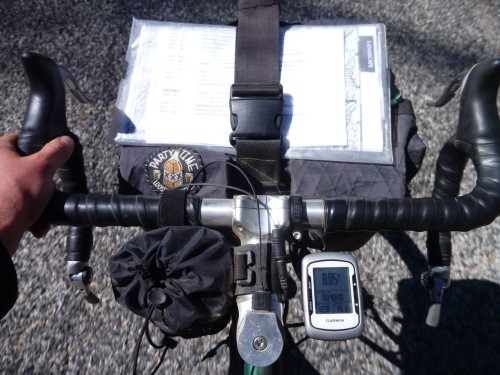
On a navigational side note, I did have some difficulties with my Garmin. I don’t know if other riders had similar experiences with their GPS equipment but my Edge 500 seemed to be struggling to communicate with its satellite and was very slow to update my position. Not a lot of satellites over Idaho, perhaps? I wasted a good deal of time standing still, waiting for it to re-find the route after going off-course. I was glad to have the Garmin but learned to keep the cue sheet handy to avoid missing turns. A handlebar bag with a map case is an ideal place to carry a map or cues and I’d like to experiment with different front carrying setups on future rides. Storing it under the strap on my handlebar bag works but is far from ideal.

P1160033
Cockpit Setup

Also, I was very happy with the Revelate Feed Bag and found it to be a perfect addition to my cockpit. The ease of access to my trail mix and other snacks was excellent and allowed me to keep a constant flow of food coming in. The outer mesh pockets also provided a perfect place to stuff energy bars, empty wrappers, my audio recorder and other small objects that I wanted to keep close at hand. The attachment was simple and secure, though the stabilizer strap that loops under the fork crown was just barely long enough for my bike. Riders on more modern mountain bikes with tall forks and short head tubes won’t have problems but folks with high handlebars and non-suspension corrected front ends may have to improvise an extension to the strap.


Preparation:

I was not in the best of shape coming into this event. Other than quick rips on the mountain bike up in the Boise foothills and riding to get around town, I haven’t been on the bike much since returning from my short trip on the Hot Springs route back in July. Given that less than three weeks intervened between my hearing of the event and taking the start on September 10, there really wasn’t time for training. Mostly, I just focused on sleeping well, getting quality food in me and drinking enough water. Given that I much prefer hoppy beverages to plain water, this can be a challenge! I was certainly well-rested and had the leftover base from my other long rides this summer to get through the Smoke ‘n’ Fire but suffered more than I would have liked. I made up for my lack of fitness with experience and a conservative approach to the event. I knew I couldn’t afford to take big risks.

P1150971
The Boulder Mountains seen from the Harriman Trail

Overall, I measured my efforts well, stayed within my limits and got through each day’s ride about as well as I could expect. I only had one cramp (while putting socks on in my bivy), consistently ate and digested well and only had a small handful of nagging aches and pains beyond the normal soreness and fatigue. I had some pain in my achilles tendons, usually a symptom of a too-high saddle. I dropped it 2-3mm on the second day and things improved a bit. I also had some minor saddle sores and chafing. This could also be attributed to the too-high saddle forcing me to rock my hips on the seat. This point illustrates the need to put in plenty of pre-trip miles on the bike you’ll be touring or bikepacking on. Had I been riding the RandoGnar and not my mountain bike for the weeks before the race I would have discovered the saddle issue beforehand and corrected it before it caused issues.

On a related bike-preparation note, this ride certainly pushed the limits of singletrack riding that I would knowingly undertake with my current handlebar configuration. I love all the hand and body positions that my long-reach, deep-drop handlebars offer on easier terrain but they place me at a disadvantage when things get steep, rough or technical. For future trips with more singletrack riding, I’d switch to a more upright handlebar configuration. Something like the Jones H-Bars might be ideal as they offer a wide range of hand and body positions and would put me in a stronger position to attack difficult terrain.

P1150812
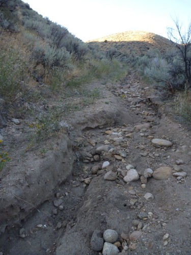
Nasty, washed-out trail


Packing:

It is easy to nerd out over this department. Sure, there are map nerds and fitness nerds out there too with their own brand of dorkery but nobody nerds out like gear nerds. You know the signs. You’ve seen the shelves and closets overflowing with x-pac, down, silnylon, titanium and carbon fiber. I’m talking about computerized spreadsheets with a few-thousand bucks worth of outdoor gear and bike parts all described, tagged, weighed, starred, “faved” and color-coded. And of course, everyone’s favorite obsession – light weight – is actually kind of a big deal when you’re talking about pedaling the whole mess up and down mountains for a few days. However, any factor in your planning, preparation or packing stands to wreck your trip if you screw it up – no one more than the others – so don’t forget to do your due diligence in other areas. Don’t let the gear get in the way of the experience.

I try to choose gear that is space-efficient and functional and try not to obsess about the weight. I can’t afford to re-outfit myself with the ideal kit for every trip so I’d rather purchase gear that is versatile and durable. For the most part, I think I packed well. I used every piece of gear I carried except for the ones I always hope not to use: tools and first aid.

However, the colder-than-expected temperatures in the low twenties (one night set a record low near Stanley) certainly pushed the limits of my equipment. If I had gone any lighter on shelter or clothing I could have easily gotten dangerously cold. I had a tough time keeping warm through my second-night bivy at the bottom of the Williams Creek Trail, high up in the Wood River Valley.

P1160002
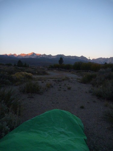
Daybreak in the Valley of the Sawtooths

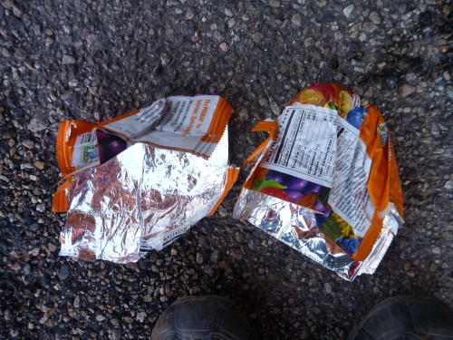
The frigid air seemed to sneak in through imaginary drafts in my bivy and sleeping bag though both were zipped and cinched tight except for a small breathing vent to prevent buildup of condensation inside the bivy. My feet suffered the worst of it. They were just starting to warm up and come back to life after some jumping jacks until I got back on the bike. The icy wind pierced my meshy shoes like needles. I improvised toe covers from a pair of ProBar wrappers (inserted over my socks, inside the shoes) which helped cut the chill and retain some heat.

P1160028
Putting the “PRO” in ImPROvisation

More substantial gloves, toe covers and/or chemical warmers in my shoes would have made the chilly mornings much less painful. Also, despite the lack of extra space in my bivy, I’ll be sleeping with my shoes on future trips where lows are expected to be below freezing. All the icy metal, plastic and carbon fiber in the soles of my shoes sucked the heat out of my feet faster than my blood could circulate.

Food-wise, I was pretty happy with what I carried and how much. I made one resupply stop in Stanley where I purchased some additional ride food (beef jerky, Baby Ruth, Snickers, Mr. Goodbar, two bananas) and supplements (pouch of chunk chicken, Ramen noodles) for my final dinner on the trail.

P1160069
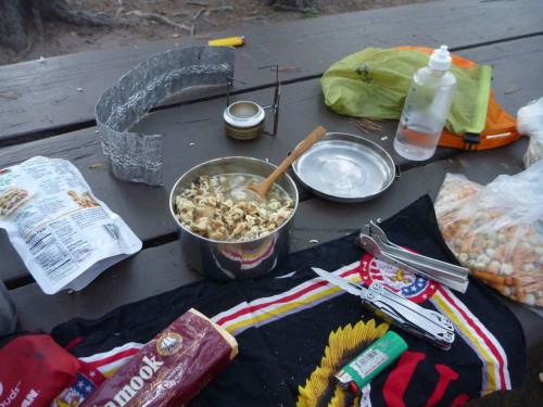
Dinner at Deadwood Reservoir: Lentil Soup with Chicken and Ramen

I stopped at some of the convenience/general stores along the way when they were available for cold drinks and to refill water. I also enjoyed a beverage stop with some new friends at the Featherville Saloon on day 1 and an amazing breakfast on the morning of day 3 at the Redfish Lake Lodge.

P1150869
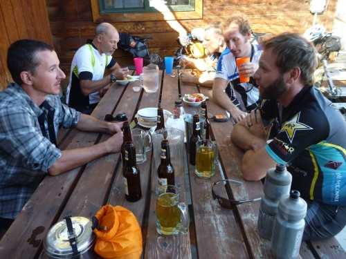
Frosty Beverages in Featherville
P1160021
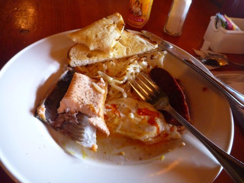
The “Northwest Breakfast” at Redfish Lake

Aside from these little luxuries, I ate and drank only what I carried and was able to ride safe in the knowledge that I had plenty of calories on board, could filter water from any of the many streams on the route and cook up a hot meal whenever appropriate. Conversely, with good route and resupply information, proper planning and measured riding, one could tackle this route (as many did) with a bare minimum of food on the bike, relying on services in towns and outposts along the way. Although a more expensive way to travel, this tactic certainly has its benefits as food gets heavy fast. It would have been easy to drop several pounds of weight off my bike by leaving the cookset and camp food at home but I would have had to sacrifice a good deal of my self-sufficiency and independence. For my purposes, it wasn’t worth it.

P1160099
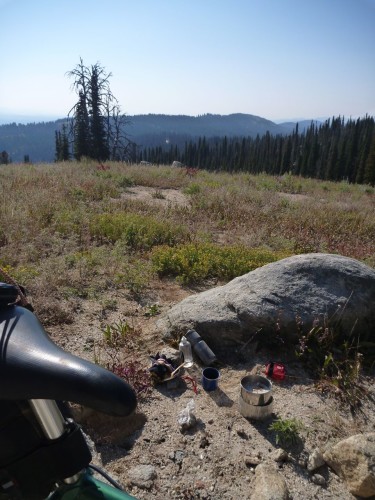
Breakfast atop Scott Mountain

I rode into the darkness on both of the first two nights and found my lighting setup to be nearly ideal. The combination of the dynamo-powered headlight fixed to my front rack and the USB-rechargeable lamp on my helmet worked well in a variety of conditions. I could use the low, wide, bright beam cast by the dynamo light for most roads and supplement that light with the headlamp’s powerful spot for singletrack or whenever a more precisely-directed beam was needed.

P1150901
Helmet-Mounted Light at Five Points Campground

This system really proved itself on the second day. I had used the CygoLite for the last couple of hours on my first evening’s ride and continued to employ it while I cooked my dinner and made camp that night. I plugged it into the Sinewave Cycles Reactor as shadows began to grow long on the second day, got it topped back up to a full charge and used it for three or four solid hours on the second night to get me through the Fisher Creek/Williams Creek singletrack section under the light of the stars. This descent was one of the highlights of the trip and would not have been any fun at all with sub-par lighting.

P1150994
Last Rays of Sun Over the Sawtooths

Looking back, it is hard to see this ride as anything other than a great success.  Even so, I’m still looking forward to refining my approach to future rides and applying what I’ve learned.  I hope these posts have been helpful and entertaining.  Feel free to leave your questions and comments below.  Thanks for reading!