Categories
Bikefishing Bikepacking Idaho Idaho Hot Springs Mountain Bike Route Other Our Trips Surly Bikes

Middle Fork Sub24O


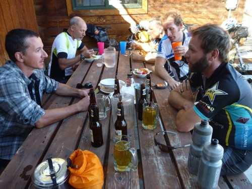
A few months back, I came across a small article about a Sub24O ride from Crouch, ID to Boiling Hot Springs. After posting said article to Facebook, I find that I have 3 general types of friends, the kind that will click that little ‘heart button’ and then comment something like “you are so badass, I wish I could do something like this”, well dude you could, and you should. Then there are the people, who you probably haven’t spoken to in years, that will like and share the post and then go do it on their own, with their own bike touring squad. The best kind, however, are the ones that text you later, with genuine interest, and over tacos you start to develop a plan. Many beers and several puns later, a weekend was chosen and the gears were put in motion (pun intended).

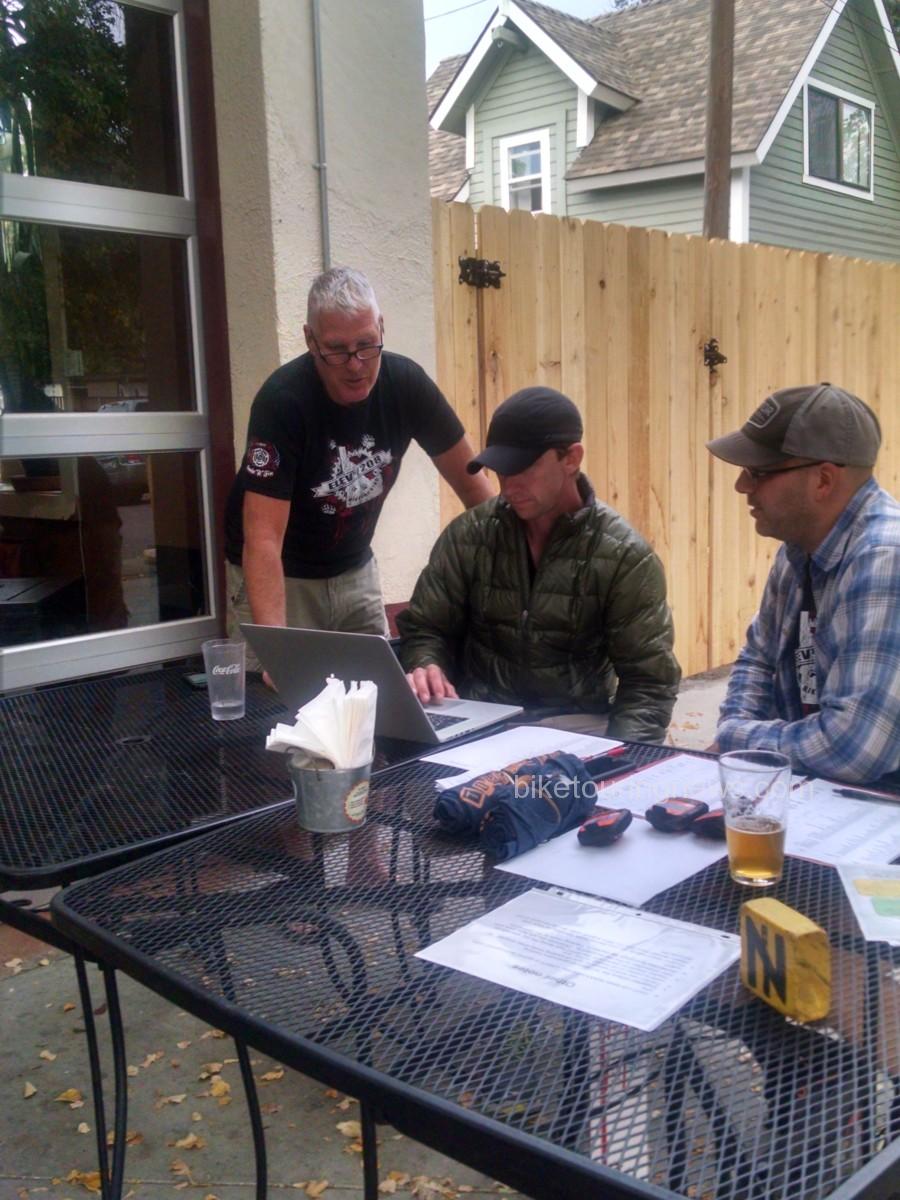
The thing is about drinking beer while planning a bike trip, some of the fine details get lost in translation… A bit of advice I’ll share with you, something I’ve learned in my bike touring endeavors, always have a plan B, in fact always have at least a plan B, probably a plan C, and just for good measure, keep plan D tucked away in your back pocket. The weekend I picked for this adventure just so happened to be the first weekend after the start of Boise State’s Fall Semester, and with my touring partner in the middle of earning his MBA, he had to back out at the last minute. I’ve toured alone before, see ‘Crazy girl rides across Oregon’, so I had no qualms about setting out on my own, but when the Bike Hermit and Sky King caught wind of the trip, they felt it necessary to join in on the fun. And so, after a few beers, I left the two of them to pour over maps of the route that I had planned for months, double checking all the details and making sure I hadn’t just made the whole thing up.

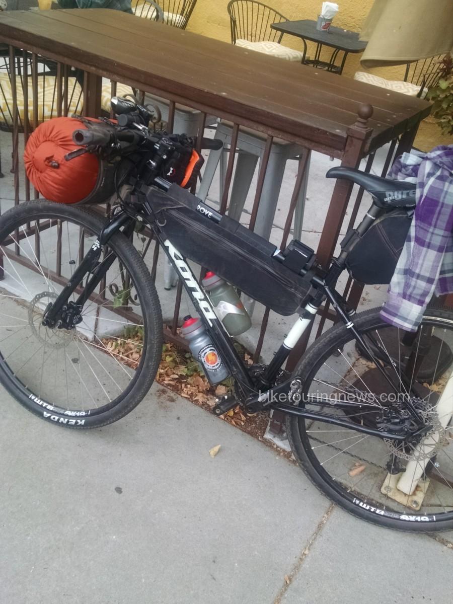
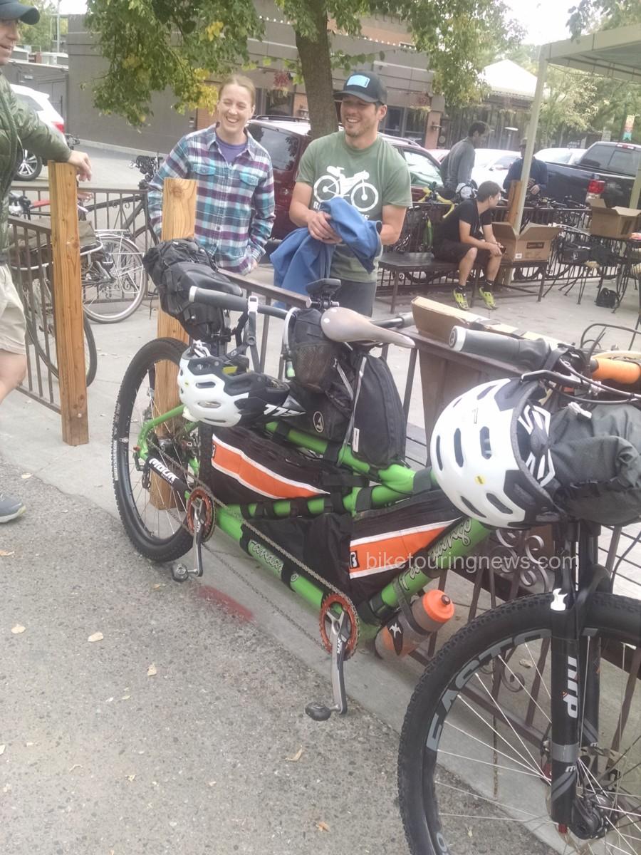
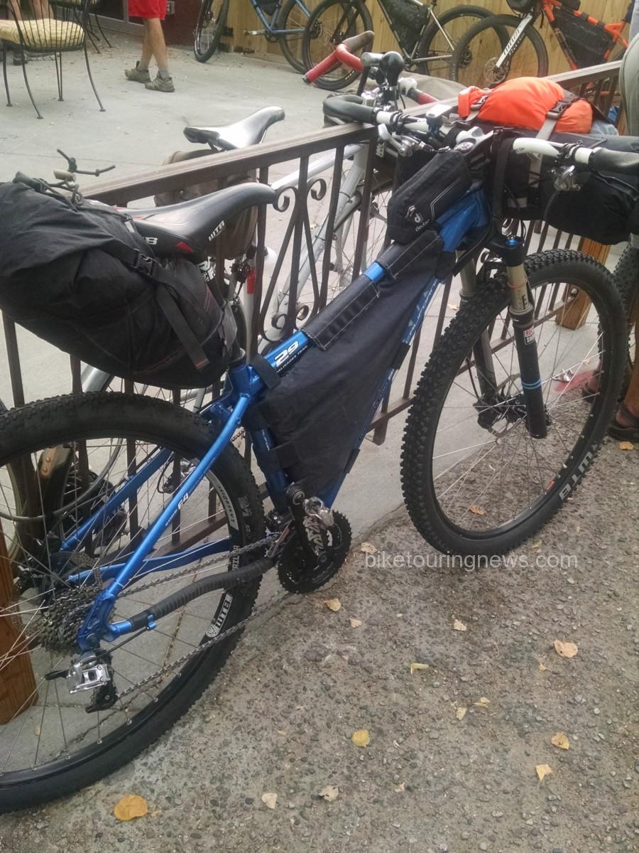
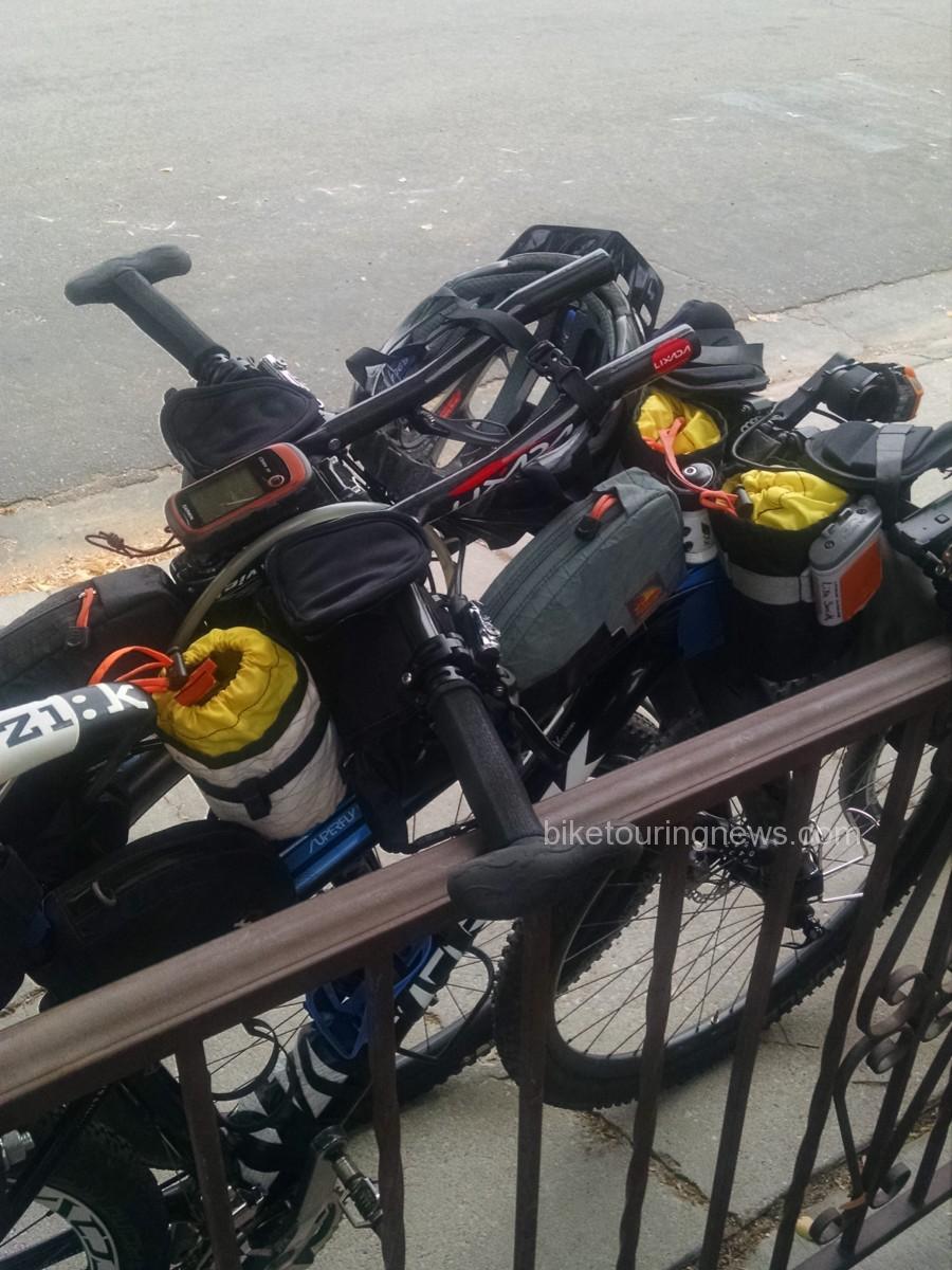
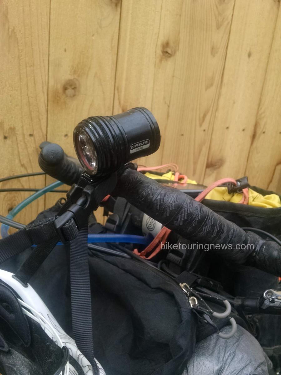
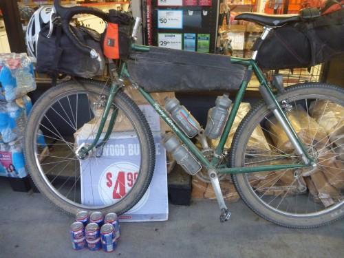
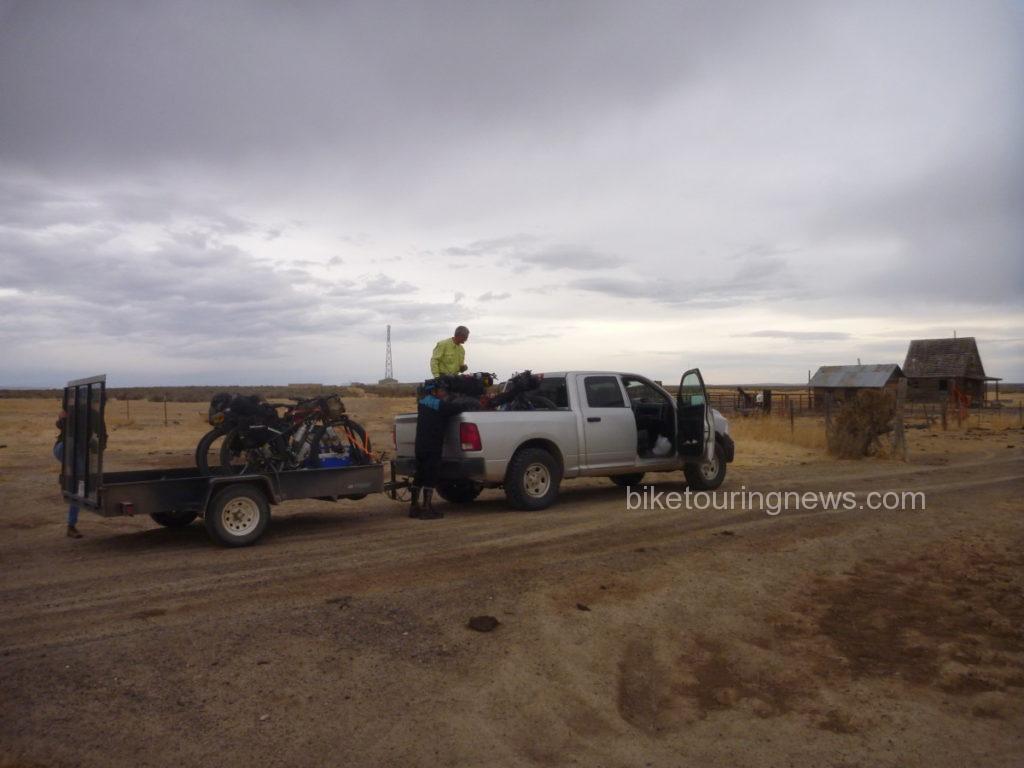
The next morning I pulled up to Bike Touring News at 0900, gear spread across the entirety of the garage, Revelate frame bags, Surly junk straps, Hennessy Hammocks, BTN water bottles and various bits of clothing needing to be packed and loaded into the truck. I tried to keep my cool as I stuffed my sleeping gear into my handlebar bag, a Revelate SweetRoll that was fighting back. An hour later, we were heading out, driving in circles so the Bike Hermit could find an ethanol free gas station (Horseshoe Bend does have ethanol free for future reference). As the temps rose into the high 80’s we pulled into Crouch, finding a spot suitable for overnight parking, next to the log cabin that doubles as the town hall. Thankfully the City of Crouch offers free WIFI, thus I was able to get a shot of the fully loaded Karate Monkey off to my many instagram followers (all 50 of them). At noon, I headed up Middle Fork Rd, a few minutes ahead of the Bike Hermit and Sky King.
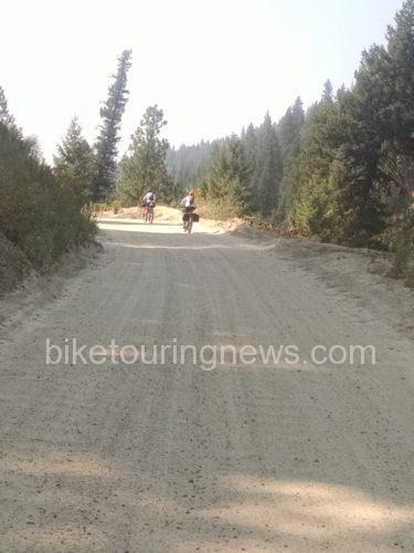
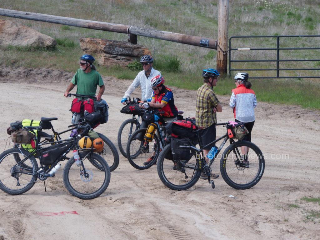
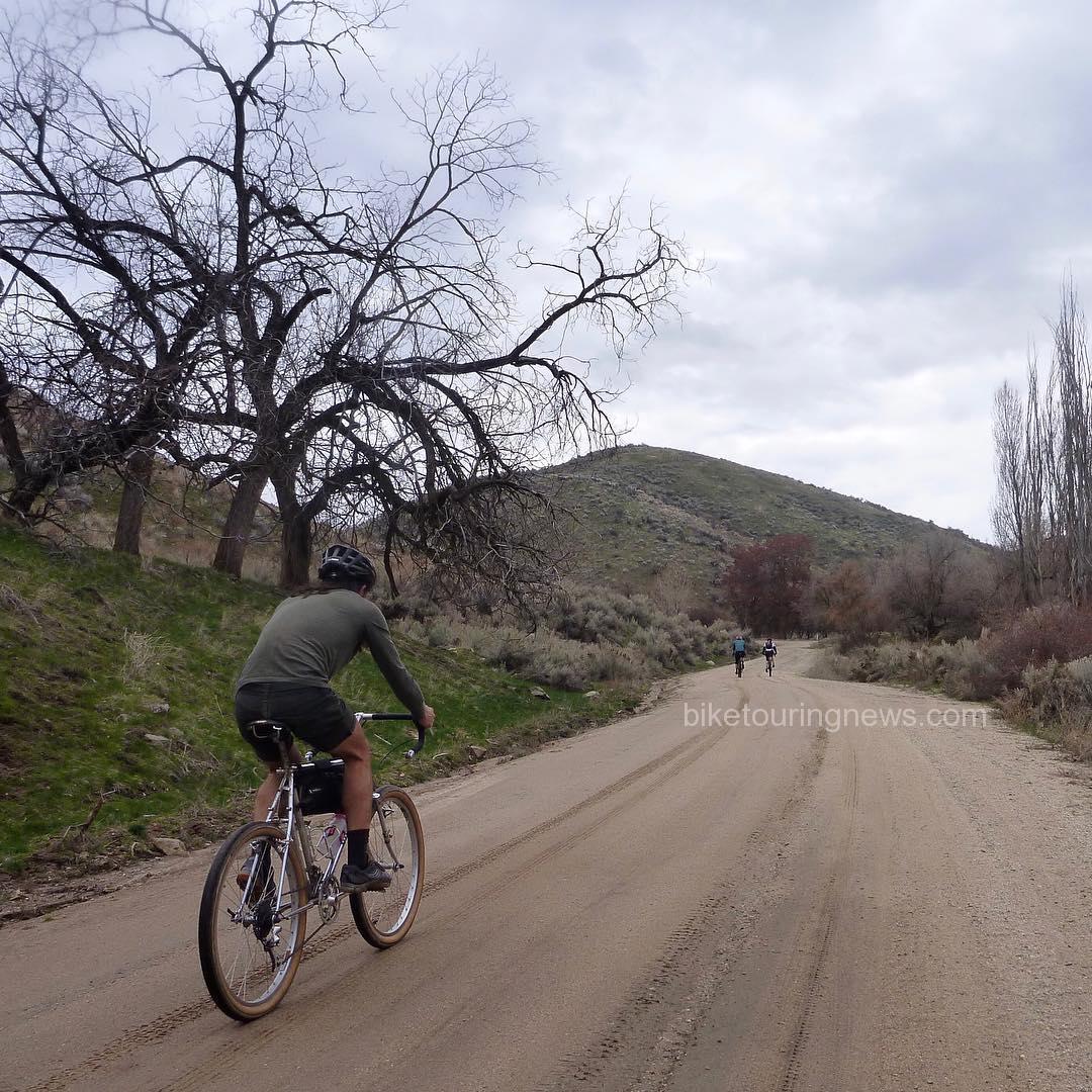
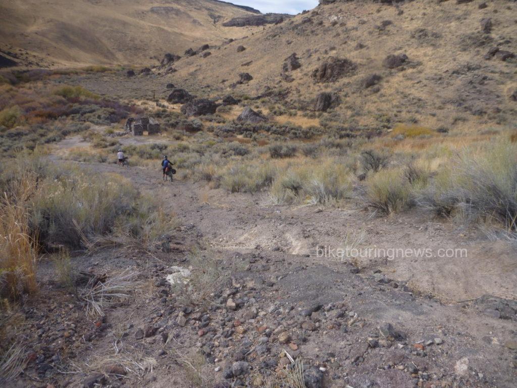
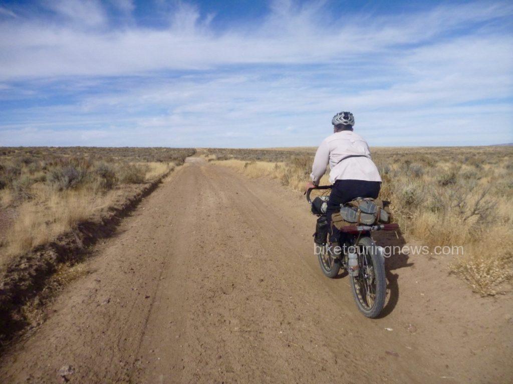
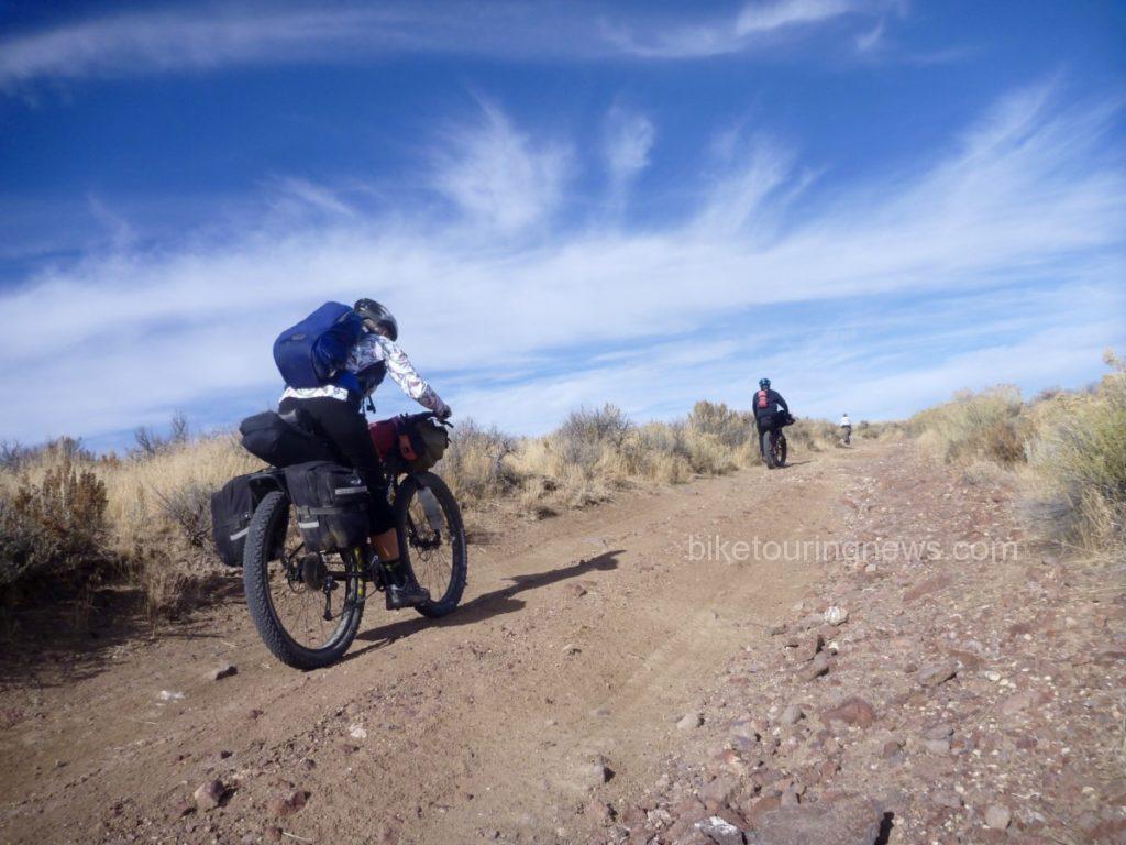
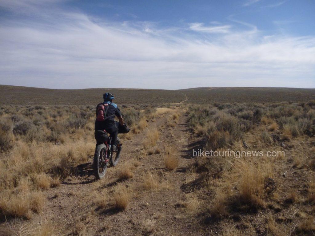
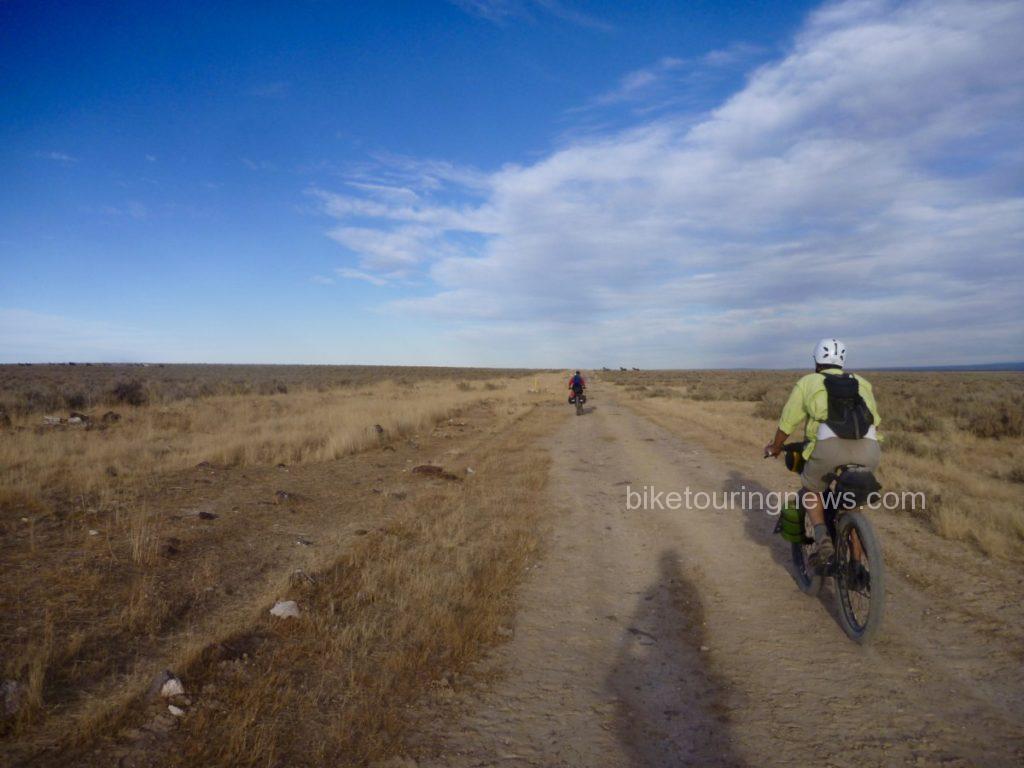
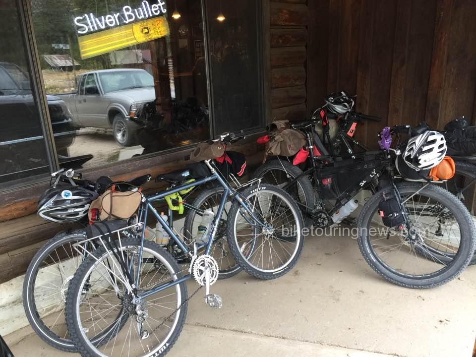
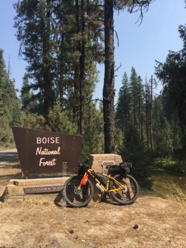
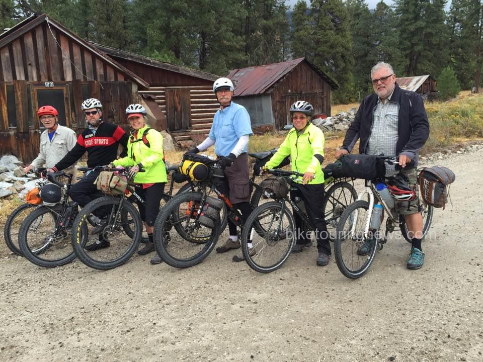
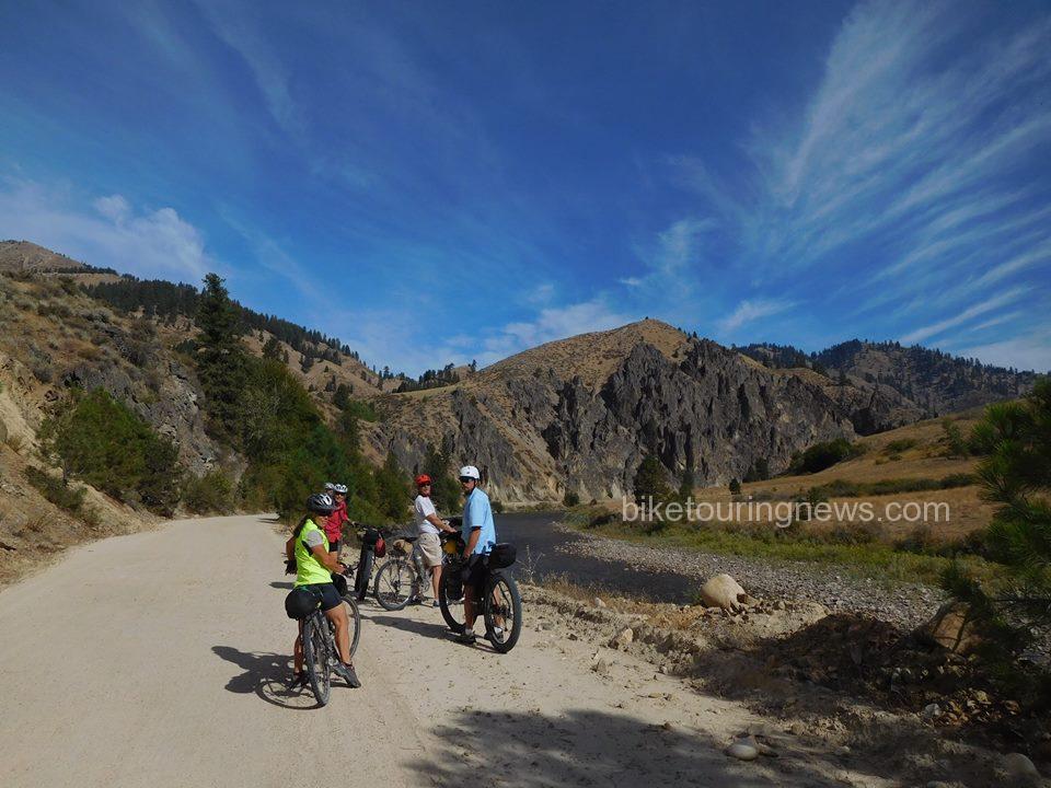
The first 8 or so miles are rolling pavement flowing past a mixture of old barns, open fields and modern homes perched along the Middle Fork of the Payette River. Once the road hits the boundary of the Boise National Forest, it turns to gravel with both designated and primitive camp spots every few miles. The steady climb takes you past several fishing and/or swimming opportunities, which despite their remote location seem to surge with popularity on weekends. Most of the motorists and ATV users were respectful to the ‘Share The Road’ signage, but without doubt, we did encounter the occasional driver who seemed to give zero shits about the lives of cyclists. I would highly recommend bringing an extra handkerchief to tie up bandit style for this exact reason, protecting yourself from the intermittent dust bowls. The 16 miles of gravel transitions from washboard, to packed dirt, to deep layers, making us thankful for the 3” tires in place on the Surly ECR, Troll and Karate Monkey.
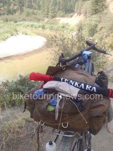
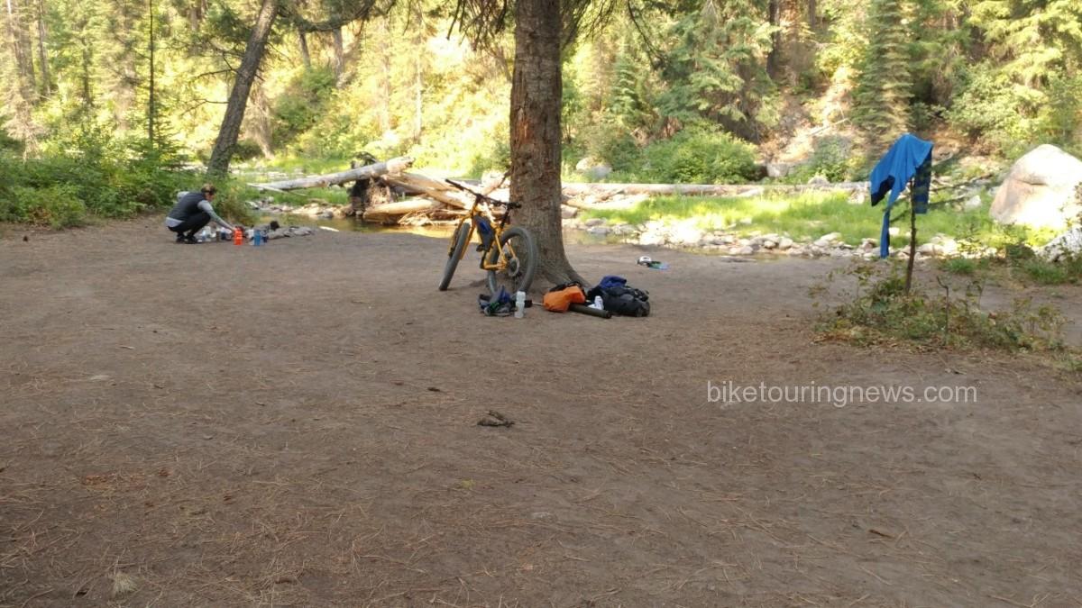
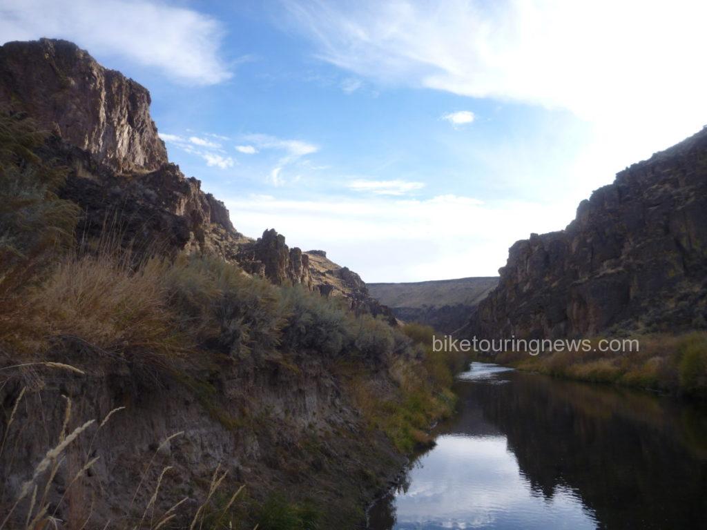
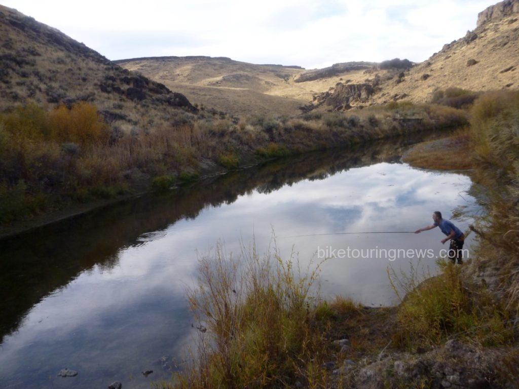
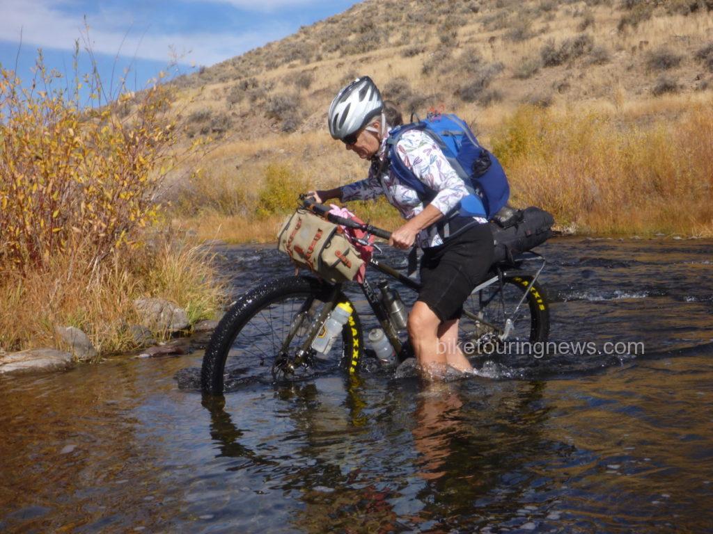
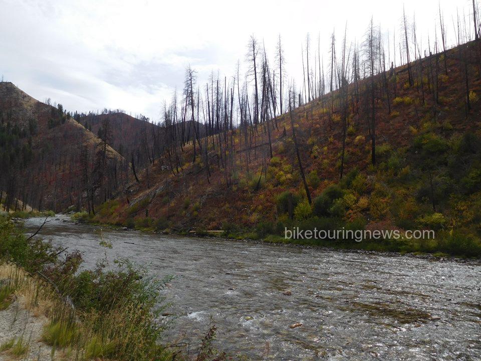
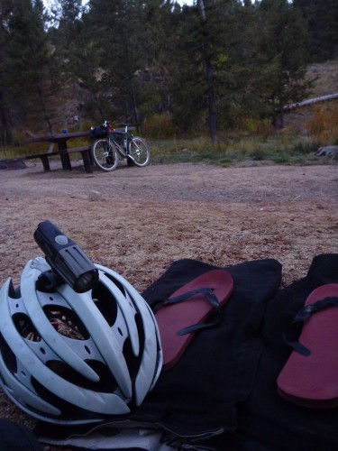
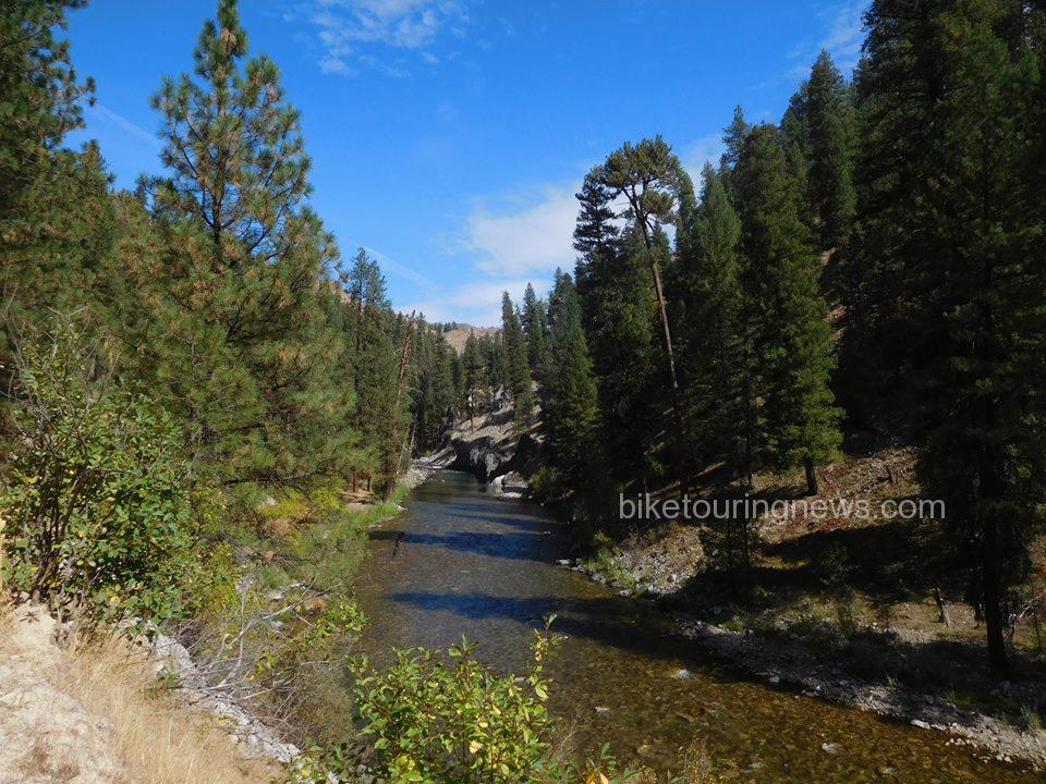
In late August, the Middle Fork runs at just above 100 CFS, making it the perfect time to access the natural hot springs requiring river crossings to access. The low flow also leaves small pockets above sections of rapids where brook trout made futile attempts to hide from the Bike Hermit’s Tenkara Rod. The short distance from Crouch to our destination allowed us for plenty of time to stop and fish with daylight left to set up camp. At mile 16, the road forks, the east taking you along the traditional main route of the Idaho Hot Springs trail, the north taking you up to Boiling Hot Springs, our intended destination. Sky King’s research showed that the designated camp spot at Boiling Springs would cost $16.00, more than the cost of gas to get from Boise to Crouch, leading us to look for a primitive spot along the river. Just below Silver Creek, along a stretch of river where several trout could be seen with the naked eye jumping in the afternoon sunlight, we set up camp for the night. IPA’s supplied by Mother Earth Brewing were cooled in the sub 60 degree water and fly rods were rigged for slaying. As the sun set below the canyon, the fishing slowed and Sky King whipped up a delicious riverside happy hour consisting of crackers, cheese and red peppers. After refueling, the Bike Hermit and I headed north in search of undiscovered trout waters, scurrying down steep embankments to the deep pockets protected by downed trees and large boulders. We fished until dark before drifting off in Hennessy Hammocks to the sound of the river bubbling close by. 
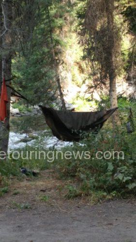
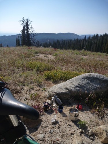
The quiet of the remote location and the lack of sun in the canyon allowed us to sleep in well past 0900 and we took our time packing up in the cool morning air. The Bike Hermit revealed his ninja fast packing skills, training from coffee drinking, jogger pants wearing, sunday breakfast type guy into the Bike Hermit in less than 10 minutes, a real Clark Kent to Superman type moment.
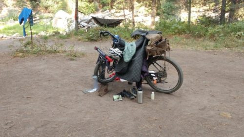
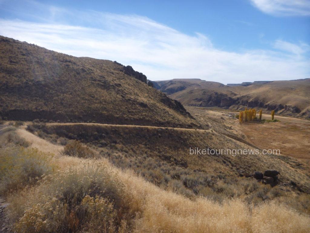
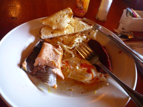
It wasn’t until we had gone a few miles before we realized how much of a steady climb we had undertaken the day before, making it a true Sunday Funday. The extra time allowed us to stopped at Fire Crew Hot Springs, the Bike Hermit fished while Sky King and I explored the warm pools on the west side of the river. We came out of the canyon in the late Sunday afternoon heat, making the last few miles a bit harsh. Thankfully The Dirty Shame serves up a good burger and the squad was once again smiling while reliving tales from the past 24 hours.

Bike Touring News endorses this ride for numerous reasons

  • quick overnighter not far from home with options to go further.
  • road surface is doable – could ride w/ 32 mm tires (mildly rough – washboards, sand and gravel)
  • gradual climbing
  • great shake down trip for new gear, new bike packers, new bikes etc.
  • plenty of water at various campgrounds along the way (or take a filter)
  • hot springs (is on the Adventure Cycling Idaho Hot Springs Route)
  • successful fishing
 

Categories
Idaho Our Trips Planning Resources Tours and Rides

Grindola Weekend Ride: May 19-21

Spring has finally arrived in southern Idaho and it’s time for a good overnight bike trip!  We’re planning a ride for next weekend and want you to come along!


Spring Riding


For the record, this is not an organized bike race or event and is unsupported, unsanctioned and in no way affiliated with Bike Touring News.  We are offering a suggested route and meeting place/time; nothing more.  You are 100% responsible for yourself and every aspect of your participation.


photo by David Jones / @awakenengage


Disclaimers aside, we hope you’ll join us for what we hope will be a great weekend!  Here’s one version of the plan:

Friday, May 19

  • Depart Bike Touring News (3853 Garden Center Way) at 4pm.  Ride to Montour Campground.
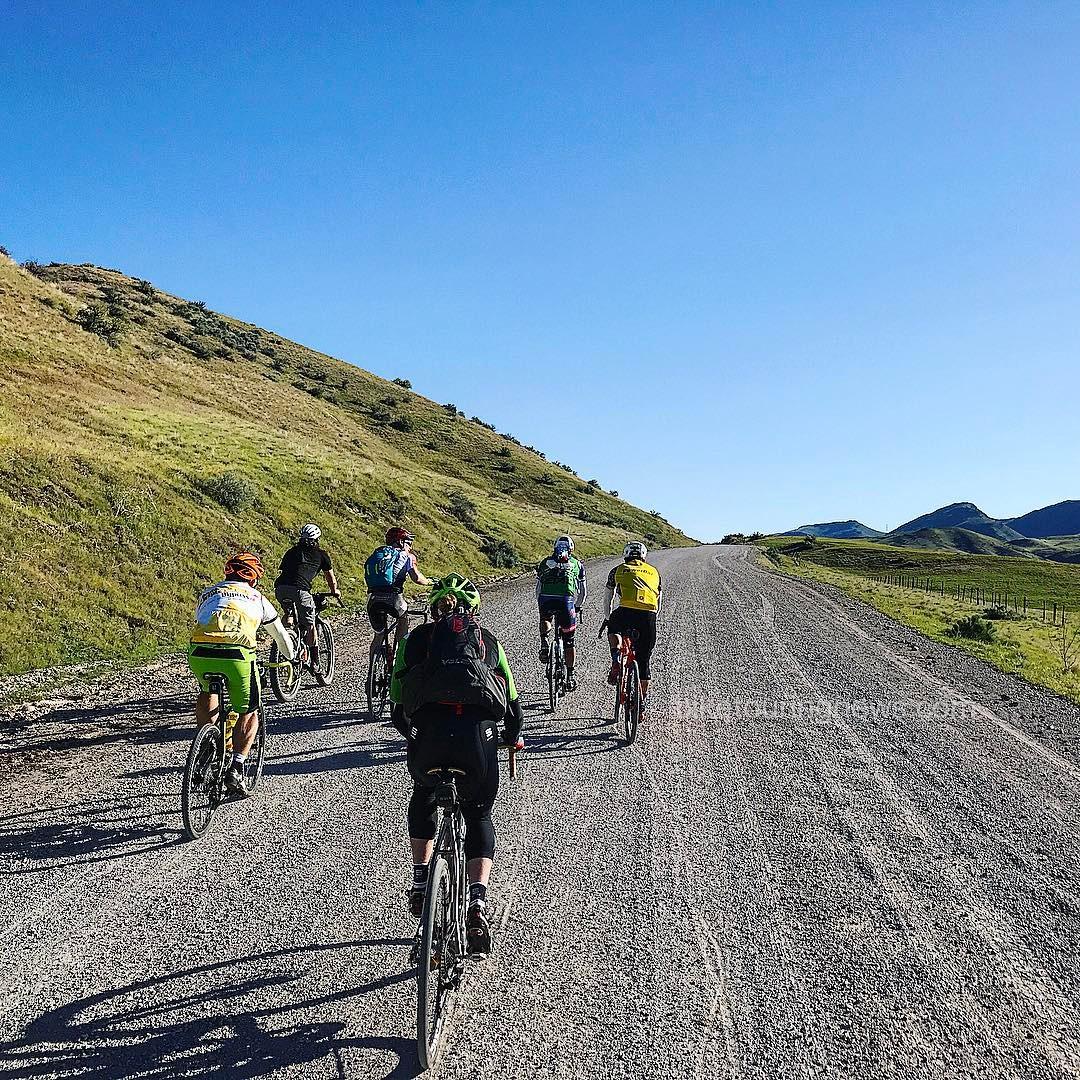
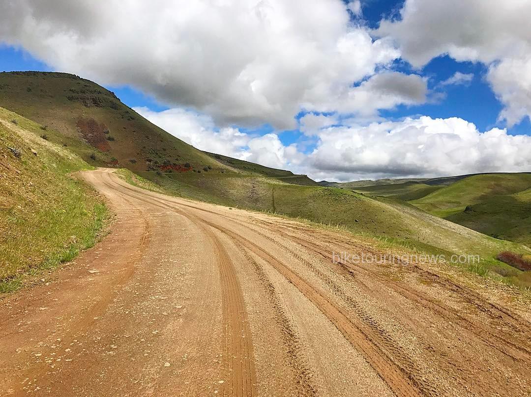
  • Approx. 27mi & 1,800ft elevation gain.  Mostly paved or well-graded dirt roads with some sustained climbing.
  • https://ridewithgps.com/routes/20783892
  • UPDATE:  The campground is open!  16 spaces available for overnight camping at $8.00/day, as well as dispersed tent camping for $3/day. Campsites are available on a first-come, first-served basis. Potable water and bathrooms are available.

Saturday, May 20

  • Ride the “Grindola” route mapped by David Robert Jones (@awakenengage)
  • Approx. 84mi & 6,500ft elevation gain.  Mostly rolling dirt roads with some sustained climbs and pavement sections.
  • https://ridewithgps.com/routes/20809180
  • Some riders are planning on splitting this segment into an overnighter, camping somewhere at the northern end of the route.
  • For purposes of camping Saturday night we are considering riding this counterclockwise, camping just after the Dodson Pass.

Sunday, May 21

  • Ride back to town via Friday’s route or an alternative.


Want to Trim some Miles?  Shorten the Trip!

There will also be a number of folks driving from Boise to Montour, either Friday night or Saturday morning.  Email [email protected] or call the shop to inquire about ride sharing.  Parking may be limited at the campground but perhaps we can leave cars at the Triangle Cafe.  This itinerary is only a suggestion and you’re welcome to make adjustments or do your own thing!


Rolling Johnson Creek


Bike Suggestions

Wide tires and low gears will make for happy riders.  We’d consider 35mm rubber the minimum, though some prefer the more exotic brand of suffering delivered by skinny tires on Idaho gravel.

We’re psyched to ride and hope you are too!  Call, email or comment with any questions!


photo by David Jones / @awakenengage
Categories
Bikepacking Idaho Living Vicariously Our Trips Surly Bikes Tours and Rides

Riding the Boundary: South Fork Owyhee Wilderness

In our overpopulated world, there are few places where humans rarely venture.  For better or worse, our species has learned how to make a living in just about every environment on Earth and has left only a precious handful of habitats unmolested.  Even in the most remote corner of Idaho – a state with more protected Wilderness than any in the lower 48 – evidence of human history is everywhere.  However, just because humans have been everywhere on our planet doesn’t mean they’re still around.  Some environments are not welcoming to our fragile and demanding bodies.  Despite the challenges of survival in hostile and difficult conditions, wild and unpopulated places call out to us.  The allure of traveling where few people have ever gone – places where evidence of human activity is nearly invisible – is a powerful draw.  This allure makes Wilderness travel undeniably attractive to a certain breed of people who are capable of cutting the cord and tuning in to a more basic way of living.  Five such adventurous souls recently struck out into the vast Wilderness surrounding the South Fork of the Owyhee River for three days of pedal-powered reconnaissance.  This is the story of that journey.

p1190711
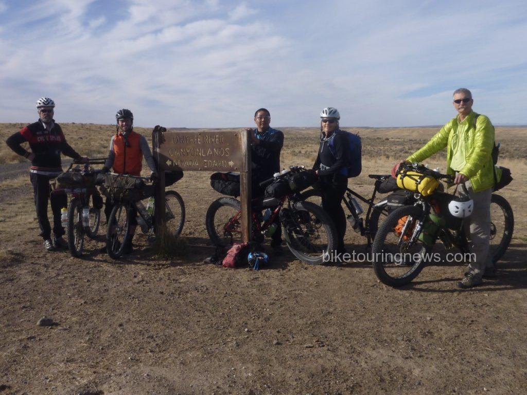
The Crew: (L to R) Bike Hermit, Ryan, Wendell, Sky, Bryan

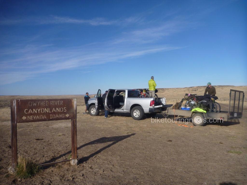
The group convened at the BLM headquarters in Boise to finalize a route and load gear for the 3-hour drive to our drop-off point east of the Duck Valley Indian Reservation, just north of the Nevada border.  After the long drive riding three-abreast in the pickup, we were happy to stretch our legs and breathe the sage-perfumed air while we unloaded bikes.

p1190708

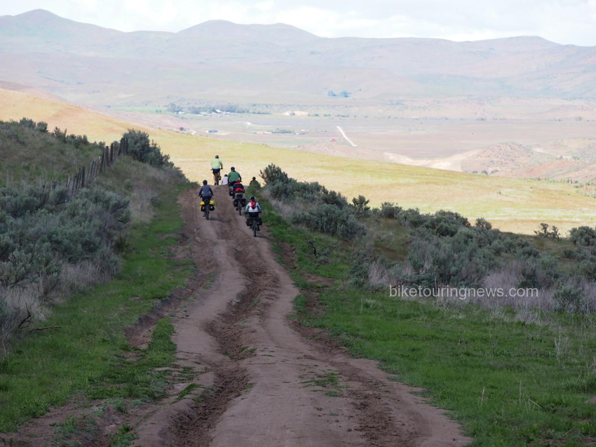
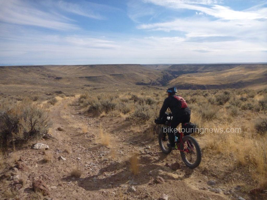
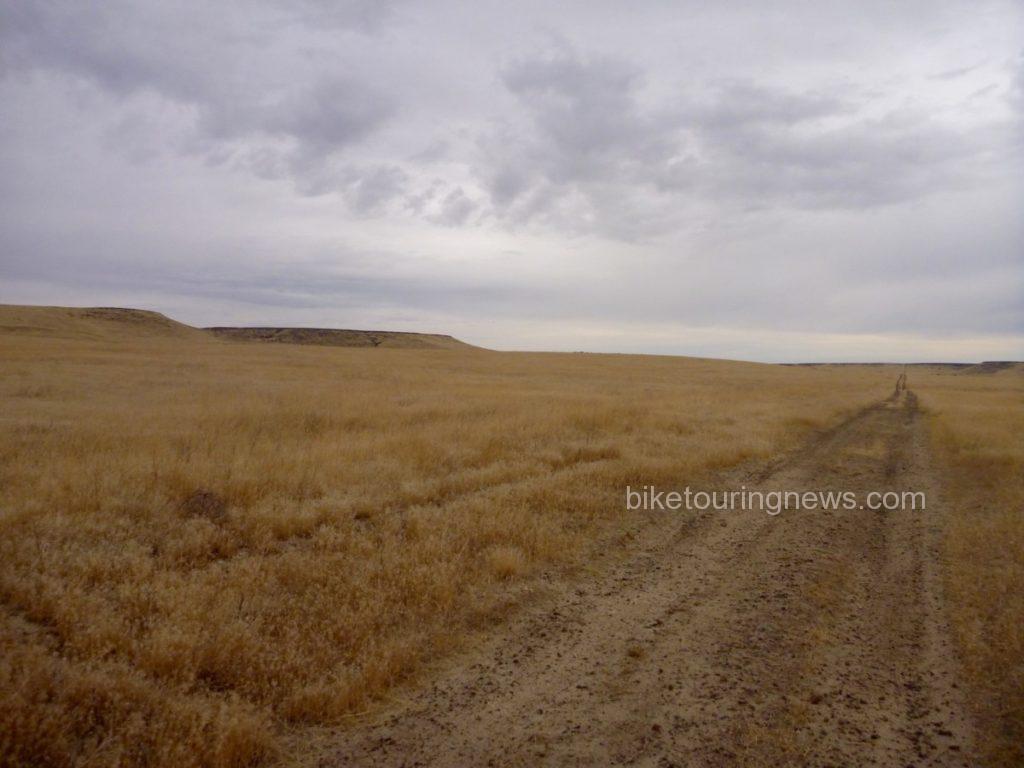
We set off to the west just after 11am, pedaling through Horse Basin toward the Wilderness Boundary.  The miles passed with relative ease on the well packed two-track under sunny skies and with scarcely a hint of wind.  We ground our way up a gradual climb to the plateau and turned to the south in order to survey a longer section of wilderness boundary.

p1190724

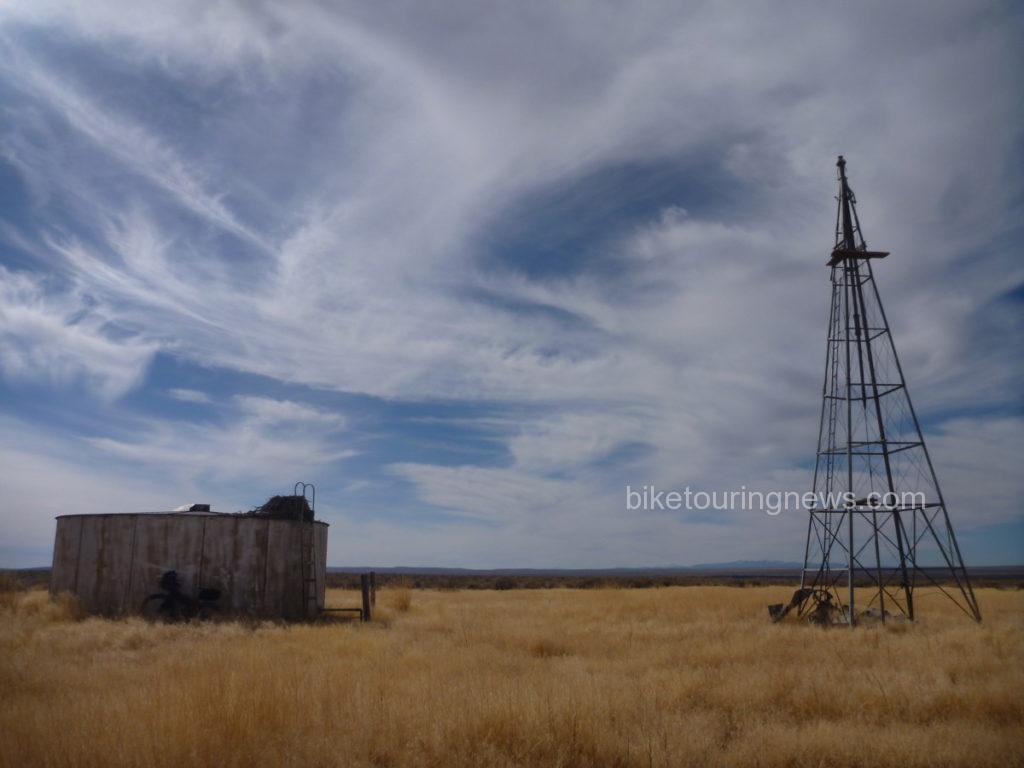
This section of doubletrack was among the smoothest any of our group had ridden in the entire region and a slight tailwind began to push us northward.  The sea of sage was interrupted by two water tanks and windmills; aging remnants of ranch infrastructure.  Each one sat in a grassy circle cleared of sage and featured abandoned eagle nests tucked into the ladder handles of the water tank.  A draft of cool air blew up from the dry well near one of the tanks.  A rock dropped down the tube never found water.

p1190739

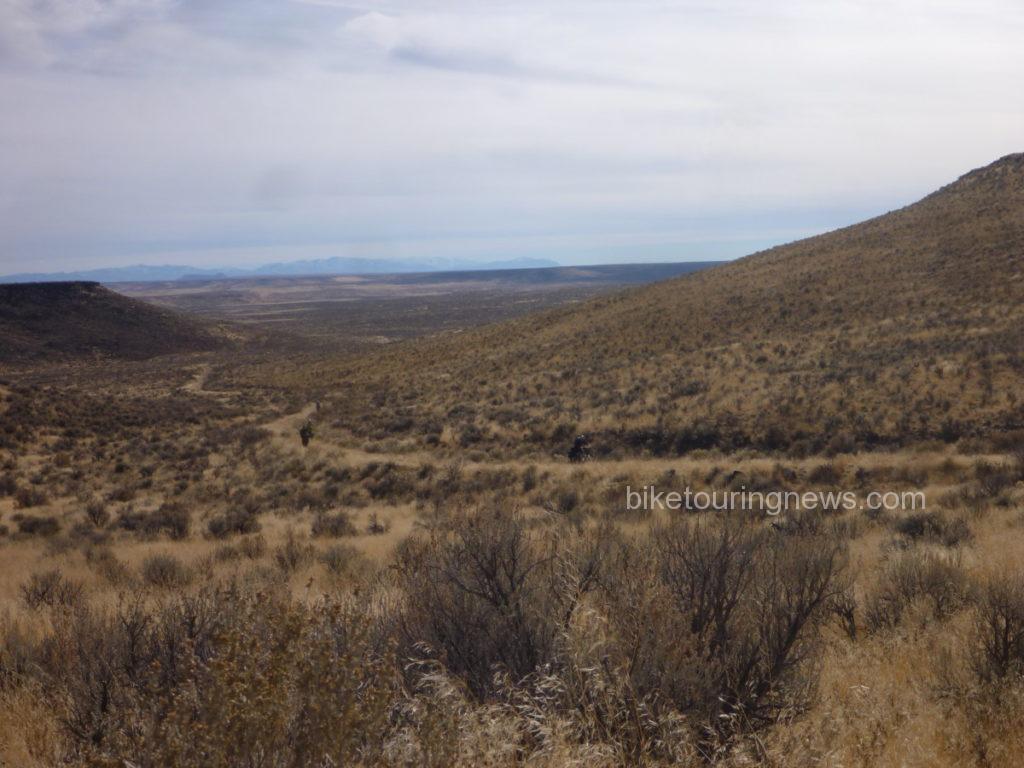
As we turned to the west along the boundary line, we came to a rock outcropping and saw the land fall away ahead of us.  From here, we descended into Wilderness along the Coyote Hole Cherrystem to the bank of the South Fork where we would make our first camp.  The road dropped gradually at first but became steeper as we neared the canyon rim.

p1190757

A badger scuttled off the road as we approached, making off into the underbrush.  With sheer rock walls on both sides, we followed the loose, rutted track down its final plunge to river level, finding the ruins of a stone house, livestock pen and even some rusting farming implements.

p1190771

p1190778

The prospect of scratching a living out of the side of this remote stream seemed pretty daunting, but compared with the barren plains above this was a paradise of plenty.  Springs bubbled out of the rocks above, delivering sweet water to wet our whistles.

p1190781

A brief exploration also revealed a river teeming with fish, which turned out to be Northern Pikeminnows.  This provided an ideal opportunity to test the borrowed Tenkara outfit the Bike Hermit packed along.  Thanks for the loan, Don!  This was the first time fishing with Tenkara for me and the Bike Hermit, so look forward to more about that experience in a future post.
p1190789

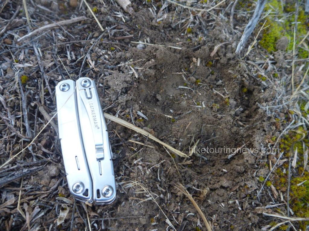
We awoke to temperatures barely above freezing and crawled from the warmth of our shelters to make our breakfast and coffee.  I noticed the tracks of what appeared to be a mountain lion just on the edge of our camp, along a path we had trod the evening before to access the river.  Did we have a visitor in the night?  I can’t say for sure, but it certainly appeared that the big cat had stalked through the bush less than 15 yards from where we slept.

p1190807

It seemed nobody was in a big hurry to tackle the climb back out of the river canyon.   The first pitches were definitely unrideable on our loaded bikes and even the more forgiving sections tested our legs and determination.  However, the exertions allowed us to quickly shake off the morning’s chill and we found ourselves back on the high plateau.  We made good time northbound along the boundary line, headed for the river ford near the 45 Ranch.

p1190828


p1190839

Once atop a small rise, we were greeted with a stunning panorama of the massive gash in the earth containing the South Fork.  It was clear that the descent to the 45 Ranch was going to be a wild ride, so we strapped our gear down tight and dropped in.  The well-traveled road was delightfully smooth in some spots and terrifyingly rough in others.  The switchbacking grade led us down to the homestead of the 45 Ranch, a privately-owned ranch in partnership with the BLM and the Nature Conservancy.  We passed by the ranch on the way to the boat launch where we would ford the South Fork.             p1190854

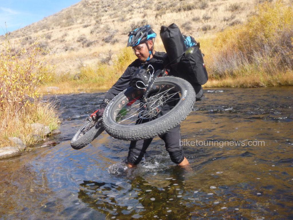
We paused at the river ford to partake of some victuals and prepare ourselves for the uneven footing and swift water.  Group members crossed the river using varying tactics.  Some – like Wendell – carried their bikes above the knee deep water…

p1190879

Some – like Sky – pushed their bike along the bottom.  I wonder who does her maintenance…

p1190881

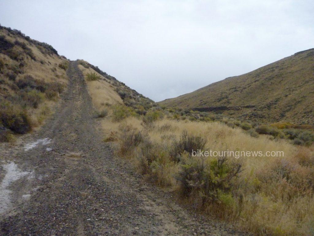
After crossing the river, we left ranch property and returned to the Wilderness along the Little Owyhee Cherrystem.  We started out on a flat, rocky double-track between steep rock walls.  However, when traveling through the Canyonlands, what comes down must always go up.

p1190892

Our mild and scenic road soon turned steep and nasty.  This climb out of the river canyon would be the most trying of the trip.  The combination of intense midday sun, steep grades, deep ruts, off-camber tread, loose dirt and rolling rocks made this climb mentally and physically challenging.  The left-hand track was reasonably smooth and appeared rideable but the loose soil and steep camber caused wheels to slip into the rut at the slightest shift of weight.  Most of us were forced to push our bikes nearly all the way up from the valley floor.

p1190906

The climb ground upward and topped out just uphill from a wide-open barbed wire gate.  One downside to riding in the Canyonlands is that climbs are rarely rewarded with descents as they would be in the mountains.  Instead, we were taunted by steep rollers and an increasing headwind as we headed south, keeping the Wilderness boundary on our left.

p1190916

This section is among the least-visited in the entire Owyhee Canyonlands Wilderness.  Our track showed little evidence of human travel within the past several months, if not longer.  Animal scat, burrows, anthills and sagebrush abounded.  Jackrabbits, coyotes and birds of prey appeared the be the only main road users.  We investigated the heads of the Walcot and South Fork Cherrystems, neither of which had seen traffic in quite some time.

p1190930

After 14 “desert miles” riding through the wide open ocean of dust and sage along the boundary line, we crossed through a gate.  Somewhere past the gate we crossed the unmarked state boundary and into Nevada.  South of the fence, evidence of heavy horse use was everywhere.  Hoofprint potholes and heaping piles of “road apples” littered the double track and made for rough going.  The stiff headwind made life even more difficult.  We were feeling the effects of the tough climbs and long miles as we sought shelter and water for our evening’s camp.  Shadows were already growing long in the road, obscuring rocks and holes in the right-hand track.  Evidence of the fragility of life in the desert was all around.

p1190938

After cresting a small rise, we sighted a group of the horses responsible for the hoofprints and manure piles.  They became aware of our presence and pricked their ears in our direction.  However, they weren’t about to let us get very close.

p1190943

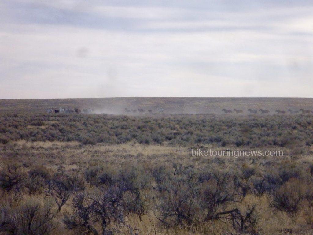
They turned tail and headed east, raising a mighty cloud of dust as they went.

p1190944

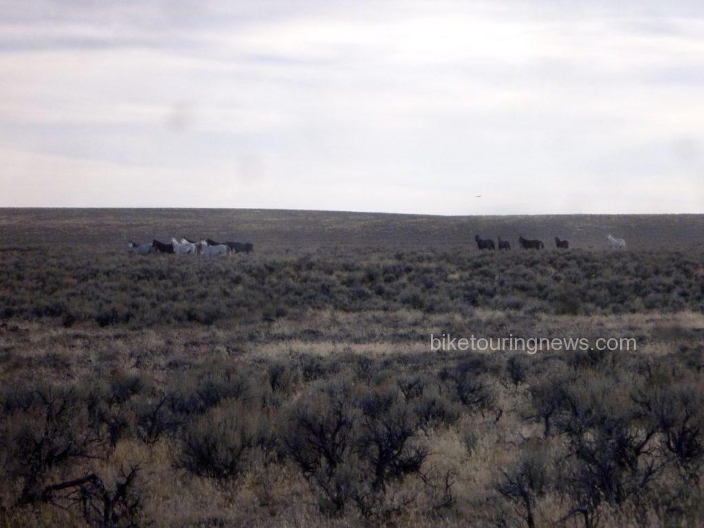
We encountered another group as we picked up the Paiute Pipeline road.  They’re just visible on the horizon in the photo below.  Despite their skittishness, we were in their territory and this wouldn’t be the last we’d hear of the horses.   We pedaled on, feeling battered by the rough road, headwind and long miles.  We were quite ready to reach our riverside camp and put our bikes to bed.

p1190947

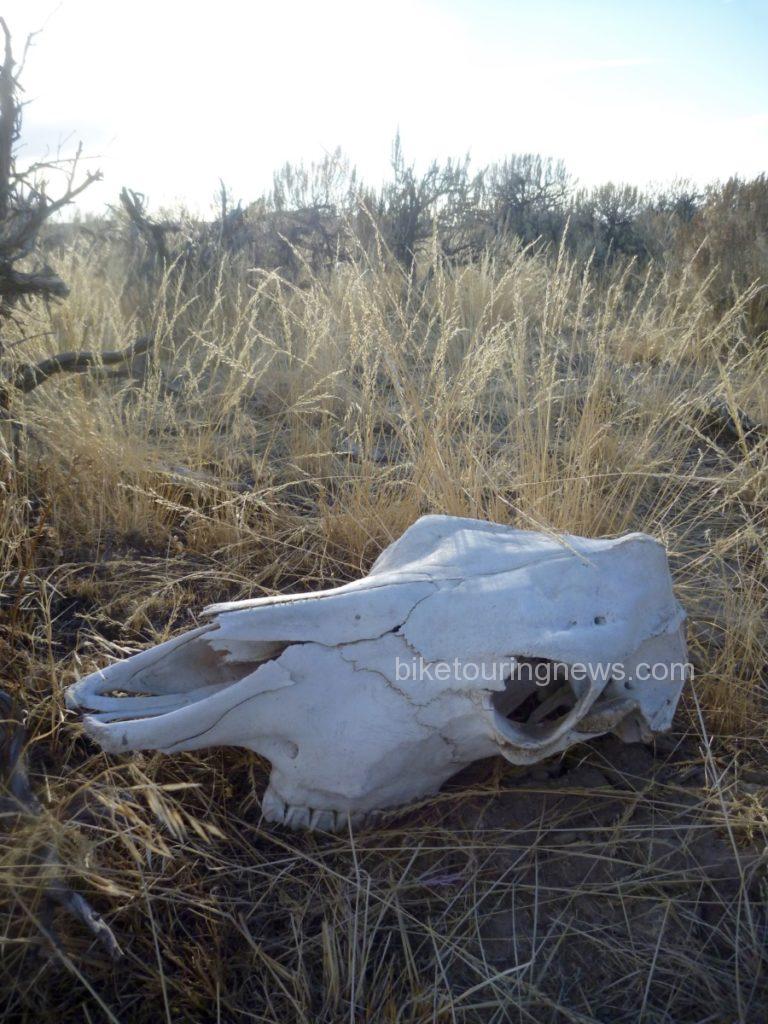
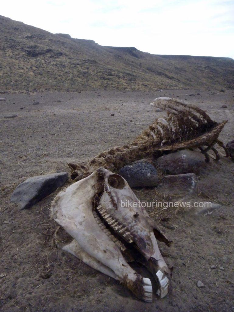
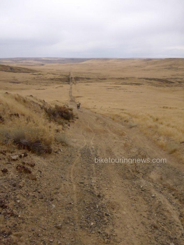
Yet again, we braved a steep, rocky and loose descent into the river plain.  From our high point on the plateau, we looked out across the valley to see the Pipeline road continue across the basin and climb straight up the opposite wall far in the distance.  Evidence of horse mortality presented an ominous sign as we focused on making camp and put the next morning’s challenges out of our minds.

p1190955

With a sigh of relief we reached the second river ford of our trip.  Again, group members took varying approaches.  Wendell opted to stay on the south bank and make his camp above river level.  The rest of the crew elected to make the river crossing now rather than brave the chilly water in the morning.  In our depleted and mentally deficient state, pitching our camp in the middle of the road didn’t sound like such a bad idea.  We prepared our respective meals and turned into our shelters under a clear, starry sky.  The crystalline starscape is one of the biggest rewards for traveling in this tough and forbidding landscape.  Situated in the middle of one of the largest unpopulated areas anywhere in the United States, light pollution is practically non-existent.  I lay in my bivy sack for quite some time, watching shooting stars and soaking in the view of the Milky Way as I dozed off.

On the morning of the third day, the discussion centered around the question, “did you hear those horses last night?!”  At least one of the bands had descended from the plain above to river level for their evening drink, coming nearly right through our camp.  The thunder of their hooves pounding down the rocky slope shook the ground and woke us from our slumber.  The horses retreated when Wendell poked his headlamp out of his tent but continued to snort and stomp along the canyon rim.  Despite our fascination with the equine residents, it was time for us to leave this place.  We were due at the rally point at 11am to meet Evan and head back to civilization.  That meant another grind up from river level, which started right off the bat.

p1190956

This short but brutally steep stretch of Pipeline Road was littered with loose, round rocks that rolled like billiard balls at the slightest touch.  Even on an unloaded fatbike, I’m not sure if it could be climbed.  We had a difficult enough time walking up the cruel grade but were pleased that it didn’t last long.  As we headed northeast toward Idaho, evidence of horses faded and the track grew smoother.  A few rollers in the basin even delivered enough of a speed boost to get us into our big chainrings, perhaps for the first time on this odyssey.

p1190960

The climb out of the basin loomed large in the distance and we prepared ourselves for the final grunt of the trip.  The grade grew steeper the farther up the pitch we climbed and we were all forced to push our bikes to the rim.  Wendell and I waited at the top, watching the rest of the group approach and eyeing the route we had taken yesterday and this morning across the wide-open bowl of grass.

p1190962

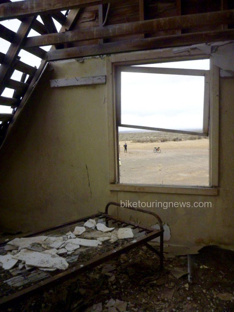
Now back in Idaho, we continued to follow the Pipeline Road until we came across a dilapidated ranch outpost, complete with a two-story cabin, outhouse, workshop and corrals.  Despite the run-down appearance, it was clear that the property still got some occasional use but was no longer suitable as living quarters.  The cabin’s frame and foundation were solid but the roof and windows were long gone and the interior had fallen into deep disrepair.  We struggled to imagine the difficulty of survival through the bitterly cold and windy winters out here on this exposed, isolated plain.

p1190967

Just as we completed our explorations of the cabin and prepared to continue toward our meetup point, we saw the government pickup rumbling down the road toward us.  Our Wilderness adventure was finished.  With mixed emotions, we loaded our bikes and piled back into the truck for the drive back to the modern world.

p1190974

Despite – or perhaps because of – the challenges and difficulty, trips to remote corners of our planet leave us with a better sense of our place in the world.  We are reminded of the fragility of life, especially our own.  We are forced to return to a more basic way of thinking that places priority on simple survival.  When we return to the relative luxury and security of our normal lives, we do well to retain the perspective gained from journeys such as this.  However, regular doses of wildness are essential to the maintenance of that perspective.  That’s why places like this deserve to be protected.  That’s also why we’ll keep going back.


<—{—<<


Categories
Bikepacking Idaho Idaho Hot Springs Mountain Bike Route Surly Bikes

A Great Little Idaho Hot Springs Route Ride

Beautiful S24O to Atlanta, Id.

We are big on “just wander” styles of biking.  So far, the 2016 Idaho fall weather has been excellent for some nice weekend S24O rides.  The “start” of the Adventure Cycling Association’s Idaho Hot Springs MTB Route is right out our door, but finding the time to ride the entire route in one big trip isn’t feasible.  We’ve ridden sections of the trip – last year we accomplished 150 miles when it was 112 degrees in the shade so this year we opted to wait until after fire season and the summer heat and planned to ride two more sections.  We also opted to be flexible and let go of the purist idea of where one should start a ride.  Sometimes life gets in the way and while we did get one section ridden the other will now probably wait until spring.  In September, the stars & the full moon lined up and we ventured to Atlanta with some great biking friends.  While our entire ride isn’t described on the Hot Springs Map this is a great get away ride with some beautiful scenery. Another group decision was to not start in town and suffer the 12 to 14 miles of horrendous wash board on the Middle Fork Road.  Enough of us have biked that section to know once was enough.  Taking off after work on a Friday we drove to Willow Creek Campground,  knowing there was a full moon we were happy to see clear skies.  What we didn’t account for was the full moon attracting campers who had no intention of sleeping and having them set up camp right next door… A bit bleary eyed we took off for Atlanta Saturday am.  The road follows the river pretty much the entire 47 miles so, for the most part, it is a gradual climb.  The last few miles the road steepens but knowing the bar and cafe in Atlanta weren’t far off we all geared down and carried on.  The Bike Hermit wrote about his trip to Atlanta last year and did a great job of describing the bar.  Happy to say it hasn’t changed.  Good beer, a choice of cheeseburger or hamburger and life was good.  Not only that but they agreed to feed us breakfast the next morning, truly an easy decision for all of us.  The seven of us had the campground to ourselves and the hot springs to ourselves as well.  We all agreed this would make a great annual fall trip.

Things to know:

  • The road is dirt and gravel.  For the most part a bike with 38 mm tires will do fine – there are some sandy areas.  We had two Surly ECR’s, 2 Trolls and a Disc Trucker on our ride and all did awesome.
  • The washboard isn’t as bad if you start anywhere beyond Willow Creek Campground and it gets better once you leave Boise County.
  • The folks at Twin Springs are very friendly – one could also rent a cabin there and another cabin in Atlanta and be really spoiled (except the beer choice at Twin Springs is Coors or Bud so pack accordingly)
  • The Campground in Atlanta seems to be free after labor day
  • Hot Springs in Atlanta are nice.  We opted for the one by the river below the campground but the pool close to the campground is also great. We didn’t ride down and look, but there are more hot springs by the river as you pedal to the campground.
  • Fall vehicle traffic wasn’t bad and people were polite.
  • There are plenty of places to camp along the way.

Highly recommend! Photo Credits to Paul Lindquist and Ron Riley

Brisk start Sunday but it's all downhill from here!
Brisk start Sunday but it’s all downhill from here!
Middle Fork Road to Atlanta
The road follows the middle fork of the boise river
Twin Springs - Bar, Cafe & Cabins with private Hot Springs
Twin Springs – Bar, Cafe & Cabins with private Hot Springs
Tucked in for Beer and Burgers
Early Fall colors the entire ride
Categories
Bikepacking

Smoke ‘n’ Fire400 – Bikepacking Endurance Testing

No surprise to our readers but bikepacking, and the bikepacking gear, gadgets and bikes to accommodate such activities, continues to grow in popularity.  As people who like to travel off the beaten path we really appreciate these innovations and continue to bring new items into our store, plus take advantage of them ourselves.

Three years ago, inspired by their participation in Ride the Divide, a group of fellow bike packing addicts launched an Idaho “race” aptly named the Smoke’n’Fire400.  Late summer in Idaho is also fire season, this year’s major fire began way back in mid-July and is still going strong. So strong it’s resulted in a major reroute of the 3rd annual ride.  Regardless, the ride’s popularity has been fabulous.  Bike Touring News has enjoyed working with many of the riders, it’s made for a fun summer and fall.  In addition to Revelate Designs Gear, we added Ortlieb and Apidura to our bag line and are looking forward to some reviews.  Other much needed items on this years 450 mile jaunt are reliable lights.  We think the Busch & Mueller selections we’ve recommended will be stellar.

This years ride kicked off in Hyde Park with an informal gathering.  Sun Ray Pizza and the ride organizers graciously agreed to let Bike Touring News contribute a keg of Highland Hollow Beer ;).  Revelate Designs donated a Sweetroll for our raffle and the crowd was very appreciative.  It’s always good to see how other riders choose to pack and we couldn’t help but snap some photos.  You can follow the progress of the riders on Track Leader as they bounce and maneuver their way along double track, single track and more. Hard to believe some will likely complete this in less than two days. Personally, I look forward to hearing from the “folks like me” who will be taking a slower pace and not hesitating to stop to smell the flowers, get some sleep and eat a real meal.

norbtyson
Masters of organization and planning
apiduraframebag
Apidura Frame Bag
biketouringnewswaterbottleready
Dave’s taking his Bike Touring News Water Bottle – nice!
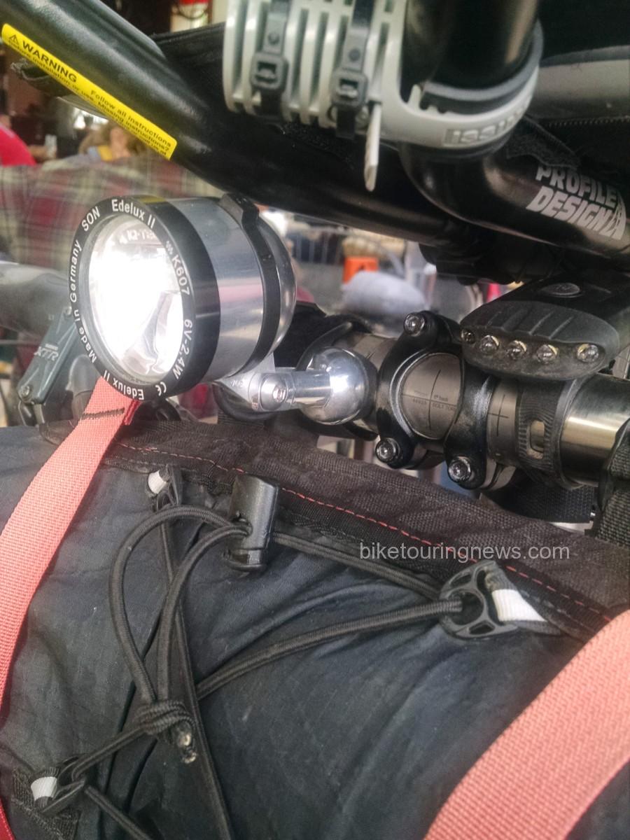
dynmochargedlight
SON Dynamo Hub – no fail on Fisher Creek
img_20160913_172535875
Revelate Designs Ready
edulux
One of our favorite Lights, the Edulux – great beam pattern
stuffedrevelatesweetroll
How to take advantage of a Revelate Sweetroll (sorry bout the blur)
revelateharnesstangle
Going Lite
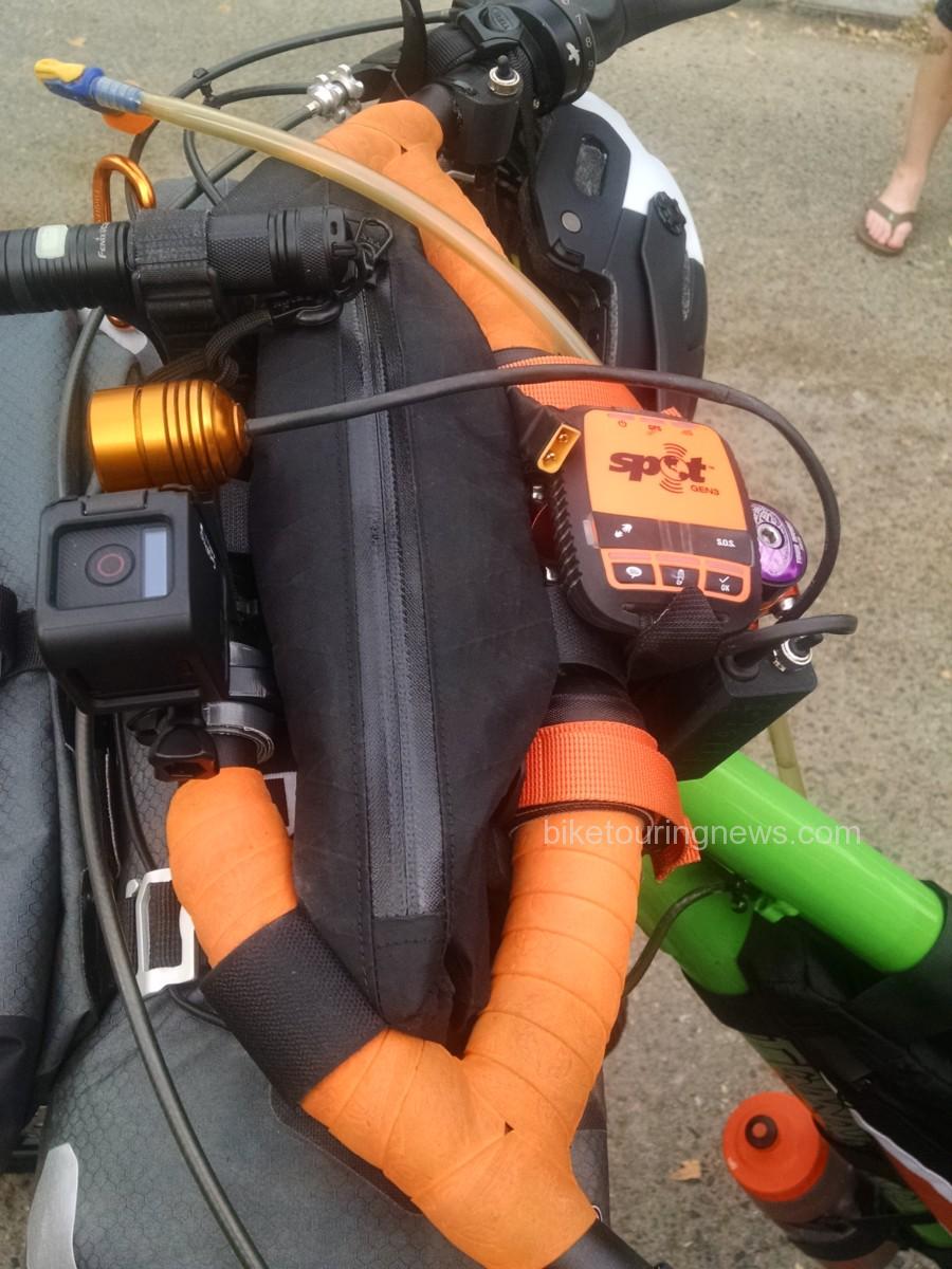
ortliebhandlebarbag
Well planned cockpit
img_20160913_175316605
Josh & Valerie’s Sleek Tandem
img_20160913_183800578
locked and loaded
img_20160913_184837380
Count the bikes 🙂

img_20160913_183841109

Categories
Bike Touring Equipment Bike Touring Tips Idaho Tours and Rides

Lessons From the Trail: Doing it Better Next Time

We are always looking, hoping and striving for the best possible experience when we head out on a bike trip. Our free time to dedicate to these journeys is limited and valuable and we should do everything in our power to make the most of the opportunity. Many components in this alchemical equation are beyond our control. Weather, terrain, wild animals and innumerable other factors will all have a say in what we have to cope with out on the trail. We can try to plan and prepare for some of these unknowns but they are beyond our influence.

However, there are also key ingredients in an enjoyable bike trip that are wholly up to us. Our planning, preparation and packing all have the potential to make or break a trip. In hopes of improving our experience the next time, we look back upon returning to see what lessons can be learned. How did your planning, preparation and packing work out?  What worked and what didn’t?  What would you do differently next time? As you unpack, you have the opportunity to take a second look and assess your approach. Is there anything buried in the bottom of your bags that you had forgotten was there? Do you still have two pounds of food left over? By paying attention to these things during and after your trip, you’ll be able to learn from your mistakes and keep from repeating them in the future.

So, in hopes of offering some insight into this process, I’ll go through my unpacking and look back on the recent Smoke ‘n’ Fire 400. In doing so, I hope other new bikepackers and tourists will learn from my successes and failures so they can make their own mistakes rather than repeating mine! You may remember my Packing List and Planning posts on this blog. If you haven’t seen those I’d go back through them for the relevant background information.


Planning:

Overall, I’m pretty happy with my approach to the route. Given my lack of fitness and unfamiliarity with most of the terrain, I was well aware that any major setback could easily put me into a position where I would need an extra day to complete the route. So, I set out on Wednesday morning hoping to finish the ride before dark on Saturday but prepared to be out another night and finish on Sunday if needed. However, things went well out there and I was able to make it back to Boise’s Hyde Park neighborhood just before 7:00pm on Saturday. I was a bit disappointed to miss happy hour but the post-ride beer tasted just as sweet.

P1160142
Victory Beers in Boise!

My daily distance goals proved to be attainable, though perhaps more difficult to reach than I expected. I’ll also admit to underestimating the amount of time the tougher climbs would require and the physical toll they would take. When planning, it is easy to be overly optimistic and forget how grueling long climbs can be on a loaded bike and I fell into that trap. Because of my lack of respect for the climbs – especially the grind up to the Dollarhide summit – I fell short of my goal to reach Redfish Lake on the second night.  Looking back, I made the right call to stop and bed down rather than push on longer into the night. I made up the difference the next day over more level terrain and made it to Deadwood Reservoir on night 3 with daylight to spare.

P1150933
Dollarhide Summit

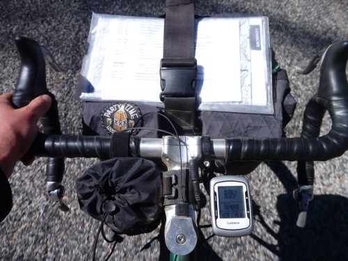
On a navigational side note, I did have some difficulties with my Garmin. I don’t know if other riders had similar experiences with their GPS equipment but my Edge 500 seemed to be struggling to communicate with its satellite and was very slow to update my position. Not a lot of satellites over Idaho, perhaps? I wasted a good deal of time standing still, waiting for it to re-find the route after going off-course. I was glad to have the Garmin but learned to keep the cue sheet handy to avoid missing turns. A handlebar bag with a map case is an ideal place to carry a map or cues and I’d like to experiment with different front carrying setups on future rides. Storing it under the strap on my handlebar bag works but is far from ideal.

P1160033
Cockpit Setup

Also, I was very happy with the Revelate Feed Bag and found it to be a perfect addition to my cockpit. The ease of access to my trail mix and other snacks was excellent and allowed me to keep a constant flow of food coming in. The outer mesh pockets also provided a perfect place to stuff energy bars, empty wrappers, my audio recorder and other small objects that I wanted to keep close at hand. The attachment was simple and secure, though the stabilizer strap that loops under the fork crown was just barely long enough for my bike. Riders on more modern mountain bikes with tall forks and short head tubes won’t have problems but folks with high handlebars and non-suspension corrected front ends may have to improvise an extension to the strap.


Preparation:

I was not in the best of shape coming into this event. Other than quick rips on the mountain bike up in the Boise foothills and riding to get around town, I haven’t been on the bike much since returning from my short trip on the Hot Springs route back in July. Given that less than three weeks intervened between my hearing of the event and taking the start on September 10, there really wasn’t time for training. Mostly, I just focused on sleeping well, getting quality food in me and drinking enough water. Given that I much prefer hoppy beverages to plain water, this can be a challenge! I was certainly well-rested and had the leftover base from my other long rides this summer to get through the Smoke ‘n’ Fire but suffered more than I would have liked. I made up for my lack of fitness with experience and a conservative approach to the event. I knew I couldn’t afford to take big risks.

P1150971
The Boulder Mountains seen from the Harriman Trail

Overall, I measured my efforts well, stayed within my limits and got through each day’s ride about as well as I could expect. I only had one cramp (while putting socks on in my bivy), consistently ate and digested well and only had a small handful of nagging aches and pains beyond the normal soreness and fatigue. I had some pain in my achilles tendons, usually a symptom of a too-high saddle. I dropped it 2-3mm on the second day and things improved a bit. I also had some minor saddle sores and chafing. This could also be attributed to the too-high saddle forcing me to rock my hips on the seat. This point illustrates the need to put in plenty of pre-trip miles on the bike you’ll be touring or bikepacking on. Had I been riding the RandoGnar and not my mountain bike for the weeks before the race I would have discovered the saddle issue beforehand and corrected it before it caused issues.

On a related bike-preparation note, this ride certainly pushed the limits of singletrack riding that I would knowingly undertake with my current handlebar configuration. I love all the hand and body positions that my long-reach, deep-drop handlebars offer on easier terrain but they place me at a disadvantage when things get steep, rough or technical. For future trips with more singletrack riding, I’d switch to a more upright handlebar configuration. Something like the Jones H-Bars might be ideal as they offer a wide range of hand and body positions and would put me in a stronger position to attack difficult terrain.

P1150812
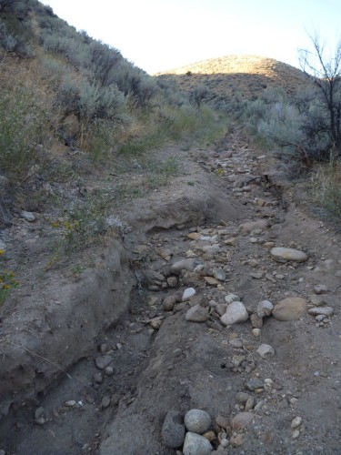
Nasty, washed-out trail


Packing:

It is easy to nerd out over this department. Sure, there are map nerds and fitness nerds out there too with their own brand of dorkery but nobody nerds out like gear nerds. You know the signs. You’ve seen the shelves and closets overflowing with x-pac, down, silnylon, titanium and carbon fiber. I’m talking about computerized spreadsheets with a few-thousand bucks worth of outdoor gear and bike parts all described, tagged, weighed, starred, “faved” and color-coded. And of course, everyone’s favorite obsession – light weight – is actually kind of a big deal when you’re talking about pedaling the whole mess up and down mountains for a few days. However, any factor in your planning, preparation or packing stands to wreck your trip if you screw it up – no one more than the others – so don’t forget to do your due diligence in other areas. Don’t let the gear get in the way of the experience.

I try to choose gear that is space-efficient and functional and try not to obsess about the weight. I can’t afford to re-outfit myself with the ideal kit for every trip so I’d rather purchase gear that is versatile and durable. For the most part, I think I packed well. I used every piece of gear I carried except for the ones I always hope not to use: tools and first aid.

However, the colder-than-expected temperatures in the low twenties (one night set a record low near Stanley) certainly pushed the limits of my equipment. If I had gone any lighter on shelter or clothing I could have easily gotten dangerously cold. I had a tough time keeping warm through my second-night bivy at the bottom of the Williams Creek Trail, high up in the Wood River Valley.

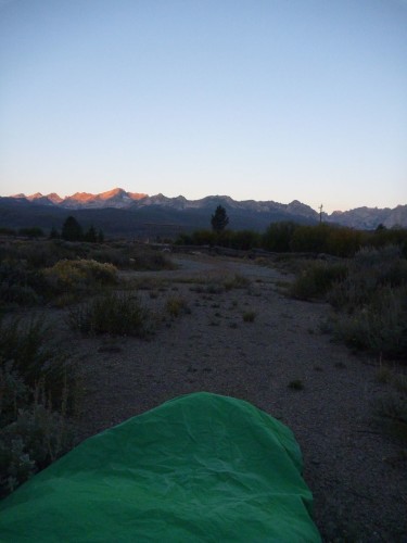
P1160002
Daybreak in the Valley of the Sawtooths

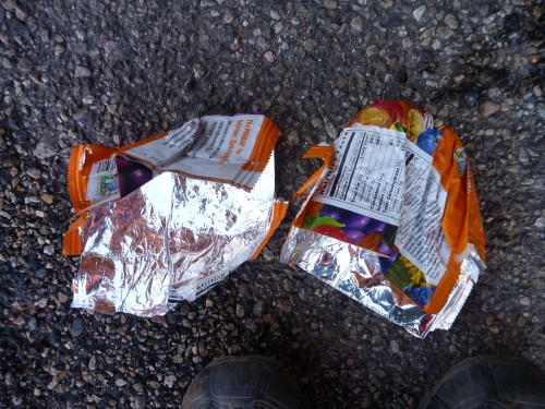
The frigid air seemed to sneak in through imaginary drafts in my bivy and sleeping bag though both were zipped and cinched tight except for a small breathing vent to prevent buildup of condensation inside the bivy. My feet suffered the worst of it. They were just starting to warm up and come back to life after some jumping jacks until I got back on the bike. The icy wind pierced my meshy shoes like needles. I improvised toe covers from a pair of ProBar wrappers (inserted over my socks, inside the shoes) which helped cut the chill and retain some heat.

P1160028
Putting the “PRO” in ImPROvisation

More substantial gloves, toe covers and/or chemical warmers in my shoes would have made the chilly mornings much less painful. Also, despite the lack of extra space in my bivy, I’ll be sleeping with my shoes on future trips where lows are expected to be below freezing. All the icy metal, plastic and carbon fiber in the soles of my shoes sucked the heat out of my feet faster than my blood could circulate.

Food-wise, I was pretty happy with what I carried and how much. I made one resupply stop in Stanley where I purchased some additional ride food (beef jerky, Baby Ruth, Snickers, Mr. Goodbar, two bananas) and supplements (pouch of chunk chicken, Ramen noodles) for my final dinner on the trail.

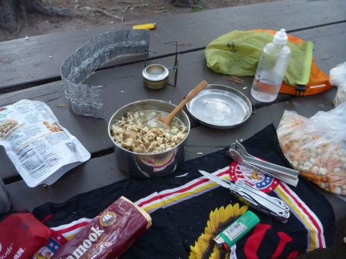
P1160069
Dinner at Deadwood Reservoir: Lentil Soup with Chicken and Ramen

I stopped at some of the convenience/general stores along the way when they were available for cold drinks and to refill water. I also enjoyed a beverage stop with some new friends at the Featherville Saloon on day 1 and an amazing breakfast on the morning of day 3 at the Redfish Lake Lodge.

P1150869
Frosty Beverages in Featherville
P1160021
The “Northwest Breakfast” at Redfish Lake

Aside from these little luxuries, I ate and drank only what I carried and was able to ride safe in the knowledge that I had plenty of calories on board, could filter water from any of the many streams on the route and cook up a hot meal whenever appropriate. Conversely, with good route and resupply information, proper planning and measured riding, one could tackle this route (as many did) with a bare minimum of food on the bike, relying on services in towns and outposts along the way. Although a more expensive way to travel, this tactic certainly has its benefits as food gets heavy fast. It would have been easy to drop several pounds of weight off my bike by leaving the cookset and camp food at home but I would have had to sacrifice a good deal of my self-sufficiency and independence. For my purposes, it wasn’t worth it.

P1160099
Breakfast atop Scott Mountain

I rode into the darkness on both of the first two nights and found my lighting setup to be nearly ideal. The combination of the dynamo-powered headlight fixed to my front rack and the USB-rechargeable lamp on my helmet worked well in a variety of conditions. I could use the low, wide, bright beam cast by the dynamo light for most roads and supplement that light with the headlamp’s powerful spot for singletrack or whenever a more precisely-directed beam was needed.

P1150901
Helmet-Mounted Light at Five Points Campground

This system really proved itself on the second day. I had used the CygoLite for the last couple of hours on my first evening’s ride and continued to employ it while I cooked my dinner and made camp that night. I plugged it into the Sinewave Cycles Reactor as shadows began to grow long on the second day, got it topped back up to a full charge and used it for three or four solid hours on the second night to get me through the Fisher Creek/Williams Creek singletrack section under the light of the stars. This descent was one of the highlights of the trip and would not have been any fun at all with sub-par lighting.

P1150994
Last Rays of Sun Over the Sawtooths

Looking back, it is hard to see this ride as anything other than a great success.  Even so, I’m still looking forward to refining my approach to future rides and applying what I’ve learned.  I hope these posts have been helpful and entertaining.  Feel free to leave your questions and comments below.  Thanks for reading!

Categories
Bike Touring Equipment Bike Touring Tips

Riding and Touring Off Pavement

riding in the high desert
Hermitat

If you follow any of our posts you have already noticed we aren’t afraid of touring on dirt and gravel roads.  In fact in the last few years we have probably covered more miles on dirt than on pavement… AND we cover most of them on loaded touring bikes. Certainly, riding a fully loaded touring bike on dirt/sand/gravel is not the same experience as the rider on a “fat” bike or a “mountain” bike.  Sometimes our descent will be slower or we may have to walk a few stretches but overall we rarely shy away from following that enticing road and going exploring.

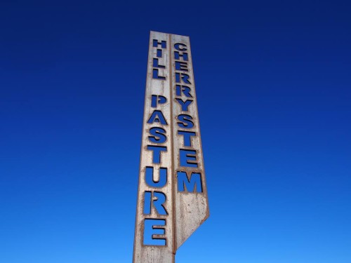
The last few weekends have found us seeking sunshine in the Big Jacks Creek Wilderness Area, south of Boise.  Evan Worthington, the Owyhee Wilderness Ranger from BLM took the time to share his knowledge and passion for the area at a recent Wandering Wheels meeting (a loose group of people who like to ride bikes).  What makes the area special for biking is the existence of many cherry stems- from the BLM website:
Cherrystems are spurs of roads in Wilderness areas that do not themselves have wilderness status. The boundary of a Wilderness area extends up one side of a cherrystem route, around its terminus and down the other side of the roadway, to allow for motorized or mechanized activity on the roadway that is prohibited in the Wilderness area.

The Omnibus Public Land Management Act of 2009 also designated a few cherrystem routes that cross entirely through the Big Jacks Creek, Bruneau-Jarbidge Rivers, and Owyhee River Wilderness Areas.

All cherrystem routes are signed and open to motorized and mechanical transport unless posted otherwise. Please stay on established cherrystem routes to protect adjacent wilderness.”

hill pasture cherry stem
Photo by Aileen Frey

Evan also blessed the shop with several excellent maps of the area so if you live near by feel free to come in and plan adventures.  The recent ride involved a section of road that is best described as double track.  Some sections were rocky, others quite sandy and a few of the descents would be described as somewhat challenging regardless of the type of bike a person was riding.

Roads really aren’t my topic though.  My topic is what bike can I, do I, choose to ride for Adventure Cycling.  My answer is – it really doesn’t matter – much; I am taking a big leap of faith that if you are reading this, your bike of choice probably isn’t of the road racing variety.  Taking a bike with a tire narrower than 32 mm may lead to frustration but other than that we say don’t underestimate the ability to try the intriguing dirt road on your current bike. (see Chris Kostman’s Rough Riders Blog)  Understand that the riding experience will not be the same as a full suspension mountain bike and personally, we think that is fine.  Our group of back road adventures often will have a wide variety of bikes – Touring style, Mt. Bike Style, Fat Bike Style, Adventure Bike Style.  Some cover ground faster than others but everyone who shows up to ride realizes we are in a group and nobody seems to get their bike shorts in a twist about waiting for others or having others wait for them.baggage

Things to consider and to include on your adventure:

riding in the Boise foothills
Sky King and Sky putting the Grand Bois Hetres through the paces.

Tire Width & Tread –  A width of 32 mm is a minimum.  Skinny tires don’t do well in soft dirt, sand or deep gravel.  Tread – while I have ridden my Gran Boise Hetre’s on many dirt roads & also have used Schwalbe Marathon Supremes I do need to pay attention to loose/deep gravel and have walked sections others have been able to ride because these tires aren’t heavy on the tread.  Don’t over inflate either!  If anything start out in the mid range of PSI for your tire and adjust accordingly.

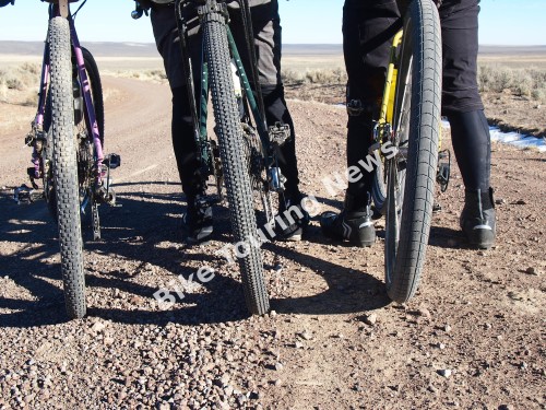
Picture of 3 rear tires
Some good tire choices:
(l. to r.) Surly Knard 700×41, Bontrager 29×2.1, Schwalbe Big Apple 700×2.35

Pedals & Shoes – I have the Shimano A530 which is a two sided pedal, giving me the option to clip or go clipless.  I typically ride clipped in and will clip out if I am concerned about needing to put my foot down quickly on a tricky descent but ride with many who don’t use a clipped in style.  Some use a BMX style pedal.  The 45North pedal with the hi traction pins are great for those who don’t want to be clipped. The Power Grip is another alternative.

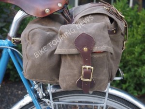
Bags & Bottles – For day trips or overnighters I never ride without at least one bag on my bike.  We have had many discussions about to ride or not to ride with a front bag.  The front bags we like and offer for sale rest on the front rack so the weight is on the tire and not weighted on the handlebar but others will argue that the weight of the bag affects the handling.  Once again I will just say riding a loaded touring bike on dirt/gravel is going to be a different ride than a bike with suspension sans bags.  If you ride in heavy brush or trees, using panniers can be an issue.  Frame bags aren’t just for Mt Bikes and work quite well on touring and adventure bikes.  Several of our biking buddies take their hydration packs for back road rides.  I don’t happen to own one so I always make sure I carry plenty of water and we often will throw the water filtering devices in the seat bag if we know we will be in an area that has water.  For day adventure rides I take a saddlebag.  This last trip I used a Frost River Gunflint Trail and had so much room I carried extra clothes for a few others.

side view of saddlebag
The Gunflint Trail bag on the Nitto M15 rear rack. Note the riveted and sewn leather attachments.

Be Prepared – Day trips or overnighters; always bring more than you think you’ll need.  Getting stuck out in the middle of nowhere and not having the right tools, clothing, food is not going to be any fun for anyone.  We always have the essentials – tube, patch kit, pump, tire irons and other simple tools.  In addition- strike anywhere matches, flint tool, tactical flashlight, emergency blanket, first aid kit, chemical toe warmers, jacket, hat, gloves and pants (based on the season) and extra food – fruit, nuts, gorp, sardines or whatever you’d appreciate if your ride takes a sudden unexpected turn.

Riding a touring or adventure style bike on loose gravel, deep sand or rocky roads does take some practice.  Learning to power through deep sand and to not back off when hitting the unexpected were two things I had to concentrate on when I began to leave the pavement.  Rough roads can be tiring on the hands and the arms, but at the same time perhaps that reminds you to stop, take a break, enjoy the scenery and remind yourself it’s about the journey, not the destination.

OLYMPUS DIGITAL CAMERA OLYMPUS DIGITAL CAMERA


Categories
California Our Trips

Death Valley Bike Trip, 2013

My happy little trip to ride bikes on lightly traveled roads and to commune with the hermits of yore in the silence of the Death Valley desert is completely ruined. The last few days of December is one of the busiest times here and the campgrounds are full, while automobiles (bumper to bumper at times) crowd the roads on the way to must see tourist attractions; Badwater, Artist Drive, Golden Canyon and so forth. My expectations arise from my visit here in February a few years ago, when the campgrounds and roads were more or less deserted. Your high, unrealistic expectations- not the crowds- led to your disappointment, grasshopper.

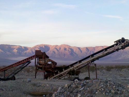
abandoned rock crusher in Death Valley
Good job, Little Rock Crusher. Your work is done.

Panamint Springs Resort at the north end of Panamint Valley is as I remember it though…quiet, inexpensive campground, showers and a restaurant with a fantastic selection of beers (160 or 180 different beers depending on which sign you read…..many/several, at any rate). A gallon of gas here is only about a dollar less than a campsite! There is no phone service and only a sketchy internet connection, actually- none during our stay. This turns out to be OK for our purposes!

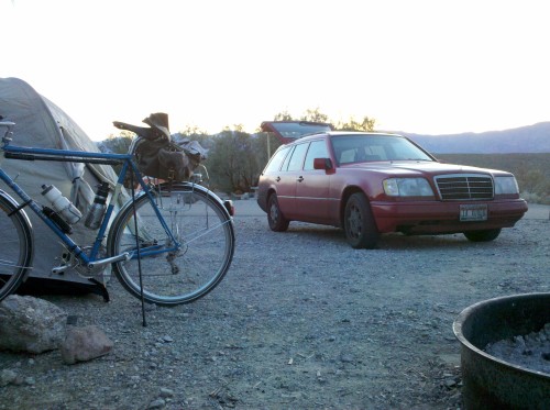
Roughing it at Panamint Springs Resort

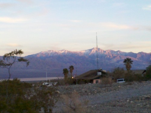
Panamint Springs Resort
Panamint Springs Resort. You can tell it’s a resort because of the palm trees.

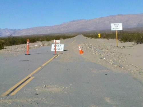
Even better, the Panamint Valley Road towards Trona is closed due to damage from flash flooding earlier in the year. We ride around the barricades and continue through the desert for 15 miles to the junction with Trona Wildrose Road, which is also closed with barricades. We head back to Panamint Springs Resort stopping along the way to eat some corn tortillas with summer sausage and cheese and to listen to the quiet. Even in this total stillness, it is not completely quiet;
We hear the blood pumping in our veins
And the synapses firing in our brains
There is a “ringing” in our ears.

The wind can be a factor here as we discovered in the last five or six miles, which took probably an hour for us to cover. But that only made the beer and burgers at the restaurant at Panamint Springs taste even better. Did I mention they have 160-180 different beers?

barricaded road
The road to Wildrose campground

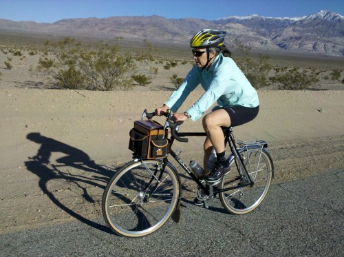
bike rider
Sky King enjoys her new Gilles Berthoud bicycle!

Sunday morning we pack up the bikes for an over-nighter and we sail, with the wind aft and with the sheets eased out,
towards Trona, but this time we hang a left at the junction and start the climb to Wildrose Campground. From here the road slopes up at an average of about 6 degrees; 3000 feet in nine miles. The wind shifts until it is blowing off the snow fields on the slopes of 11000′ Telescope Peak directly into our face. Oh yeah, and in the last few miles the road surface varies from broken asphalt to dirt, to loose, deep gravel through which we are obliged to dismount and push the bikes. Mentally tough ride, this. Once we reach the campground we strip down and rinse off the sweat before the sun is blocked by the western ridge and the temperature drops. We take a hike and scavenge pieces of wood from broken pallets which are left over from a metal roofing project on the park service buildings. Once we burn through that we are driven into our tents by the wind which now feels as though it originated in Antarctica. I have camped in lower ambient temperatures (our water bottles don’t even have ice in them in the morning) but the wind chill is brutal.
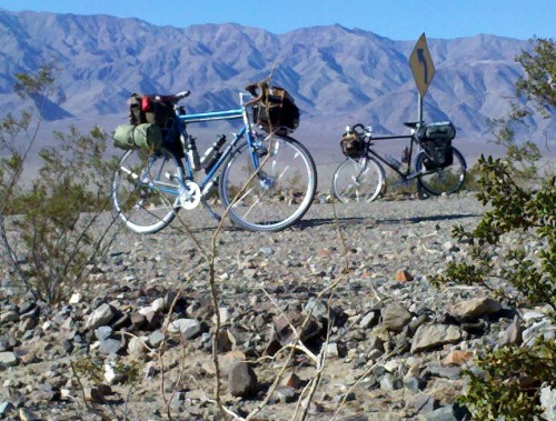
Chief

two bikes rest
Chief and Bernard

pushing

washed out road
Wildrose Road
washe out road in death valley
Wildrose Road

The aforementioned roofing project has apparently been abandoned for some time. It appears that the new roofs are complete but half full pallets of material are still laying around and one pallet has fallen or was blown off the edge of the bank adjacent to the building and pieces of roofing are fanned out across the driveway. Empty pallets litter the area. I mentioned the fact that area roads have been closed due to flash flooding. We were told these floods happened in June and it is now the end of December. The only apparent work that has been done on the road inside Death Valley National Park is the placement of some traffic cones along the edges of the most severe drop-offs. In October of 2013 we were in Baker, NV one of the main entrances to Great Basin National Park. The park had just reopened after being closed for two weeks due to the government shutdown. The town of Baker and the businesses there were all but deserted.
In other news: The US military is proceeding with the production of the F-35 fighter jet which is seven years behind schedule and hideously over budget. Vanity Fair wrote about that in September 2013. Congressional representatives in almost every state have 1400 good reasons to love this project; that’s the number of sub-contractors providing 133,00 jobs in 45 states. Miraculously, the government shutdown and sequestration has not affected those jobs or the funding for this project.
Developing and building a new fighter jet is fine, I happen to think fighter jets are one of humanity’s coolest inventions. But if the idea is sort of a neo-New Deal, then I wonder if there might be a better way to spend the money and put people to work. Things such as, say, maintaining national parks, or bridges, or building schools, or even making bike paths. Maybe National Parks can be considered a superfluous luxury in a society but on the other hand they might be considered a mine canary which, when it begins to wobble a little as it can now be seen doing, signals a declining quality of livability.

By daylight on Monday morning the wind has moved on. The shining blue sky sun quickly warms us to the point we can take off layers. We are in shorts and shirtsleeves by the time we mount the bikes for the ride back…..the same section of road which took 2 1/2 hours to climb yesterday we now cover in 50 minutes. Back at the campground before we left we spoke to a couple vacationing from Minnesota. I think Minnesotans have some weird need to prove that the extreme cold is not problematic. They told us stories of ice fishing and camping on the ice in wall tents heated with wood stoves when outside the temperature is minus 40. Since nobody wants to get up when it’s that cold in order to stoke the fire it drops to maybe minus 20 in the tent by morning. I’ll pass on that adventure.
A fighter jet from Edwards Air Force Base makes Panamint Valley its own personal half pipe as it caroms down the valley a few hundred feet off the deck. I wonder out loud if it’s too late for me to become a fighter pilot. The remaining eighteen miles back to Panamint Springs is basically flat. The temperature is in the mid 60’s, the sun hangs in the boundless blue sky and the wind, such a bully yesterday, is feeble. Back at Panamint Springs the shower rooms are pretty basic but functional and clean. The stout metal framed screen door to the men’s room doesn’t even latch. For some reason this makes me happy. Paradoxically, it makes it feel safe and it’s comforting to know it never gets very cold here.
Dinner again at Panamint Springs Resort where they boast a great selection of beer.

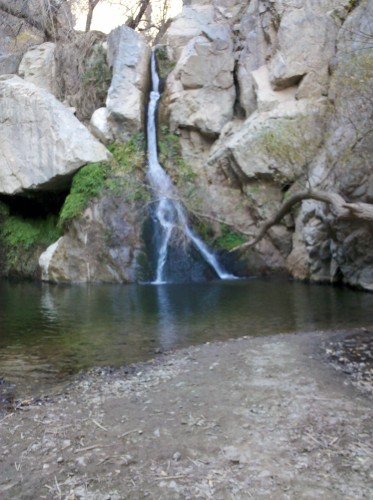
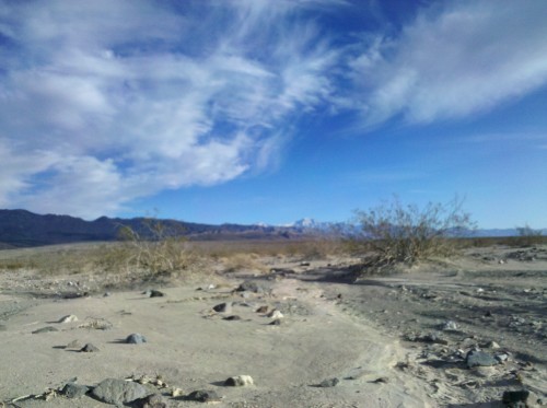
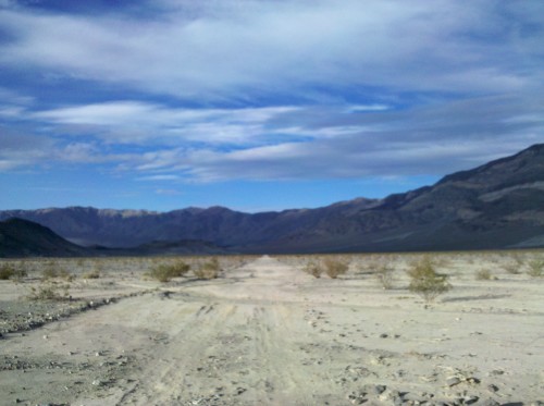
Tuesday we decide to just explore the area on bikes with no firm agenda. In the morning we ride a mile or so up Highway 190 and take a left onto a dirt road towards Darwin Falls. In the PM we go back east on Highway 190 and turn on an unmarked road and ride another several miles across the playa towards Panamint Dunes. There are two or three groups of people camping out here even though there are no apparent designated camping sites. I wonder if there are permits issued by the Park Service for camping out here or if the people are just poaching. It doesn’t look very pleasant at any rate since it gets dark at 6PM and I’m pretty sure they are not supposed to build fires.

waterfall in the desert
Lower Darwin Falls

Panamint Valley

Panamint Valley

So, that’s it. On Wednesday we pack up the car and start for home. It’s sort of sad to be leaving but it’s been over a week since we left and it will be good to get back. Overall the trip was a great success. We got some nice riding in and were able to sleep under the stars in this “Gold Tier” International Dark Sky Park. Now I know that late December is not the best time to visit if one seeks quiet, but the Bike Hermit only had words with two different parties, so all’s well that ends well….and Panamint Springs Resort has a good beer selection.

Categories
Touring Bicycles

Surly Straggler

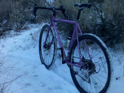
picture of bike on snowy trail
This is the Surly Straggler bicycle. It’s similar to a Surly Cross Check but with a few crucial differences; most notably the Straggler has disc brakes and comes stock with Surly Knard 700c x 41 tires. Surly sent us this bike to try out after the Interbike trade show in September and I have had the chance to ride it a few times now. The first thing I notice is that the handling is different than my Cross Check. The steering feels more nimble and responsive. The other thing is that although this is a 56cm frame and my Cross Check is a 58 this bike seems to feel fine fit-wise. Not surprising once I look at the Surly geometry chart and see that the 56cm Straggler’s effective top tube length is identical to the 58cm Cross Check top tube.
But why does the handling feels so much different I wonder. The seat tube and head tube angles are the same on both bikes, so I’m thinking the bigger tires change the fork trail pneumatically. Also, the bottom bracket drop on the Straggler is 6 mm greater than on the Cross Check and the Straggler’s chain stays are half a centimeter longer- both of these are probably in consideration of the bigger tires for which the Straggler is designed (the increased bottom bracket drop makes the standover height manageable),but they can’t help but affect the handling of the bike.

There are a couple of quirky details which I think are unique to Surly (no surprise, that);
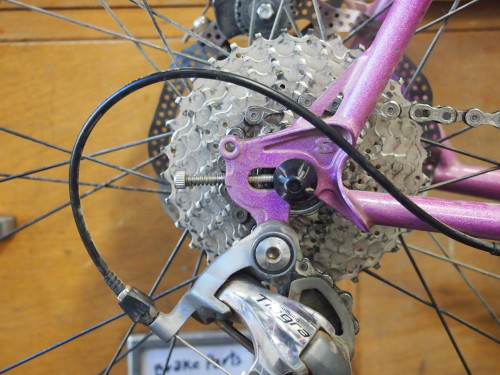
-The rear dropouts are a “partially closed, horizontal design” made to accommodate single speed set ups or derailleurs. When used with a derailleur, the rear wheel slips up into the vertical part of the dropout where it is held in place partially by the clamping force of the quick release but also by the set screw threaded in from the rear of the horizontal part of the dropout. In a single speed application the wheel slips into the vertical part and then slides back in the horizontal part to tighten the chain and is partially held in place by the same set screw which in this case is threaded in from the front of the dropout.
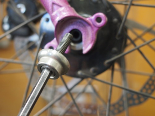
-The front hub is Surly’s Ultra New Hub which features a hollow axle for standard quick release but the inside ends of the axle are threaded. Surly provides two stainless steel bolts with caps which thread into the ends of the axle and clamp the wheel in place. This setup gave me a sense of added security over a quick release- especially with disc brakes which place a lot of torque load on the hub.

dropouts
The “partially closed horizontal” dropouts.


The fixing bolt cap on the Surly Ultra New Hub is heavily knurled to help hold the wheel securely.


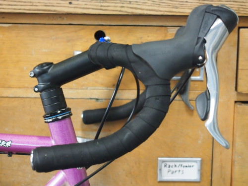
handlebar and brake hoods
The Salsa Cowbell 2 handle bar felt very good with the Shimano Tiagra brifter hoods. The bars have a very short top ramp but it mates nicely with the hoods creating a nice flat cradle for the hands.

Overall Impression and Conclusion.
I already noted how even with the big Knard tires the bike’s steering is nimble and responsive but these tires roll nice too. The bike feels quick in every way, and the tires felt nice and stable on the snow packed trail I rode.
I am in my retro-grouch phase now but I have to admit I like the brifters on this bike. Even though they are Shimano Tiagra level, the shifting is precise and easy and being able to shift without moving the hands is pretty important on any technical terrain. Like all Surly bikes there is nothing especially fancy about this bike but everything works and the bike is solid. This “Glitter Dreams” color is a love it or hate it proposition- I happen to love it- but they also make the bike in black.
It’s not technically a touring bike but it has all the braze-ons and clearances for racks so one could call it a camping bike. It also is a great bike for just ripping around in the hills on single track or gravel roads. It makes me want to go for a ride and that can’t be bad. I like this bike a lot- in fact when Surly asks for it back I will probably buy it.
Categories
Touring Bicycles

Velo Orange Camargue at Interbike 2013

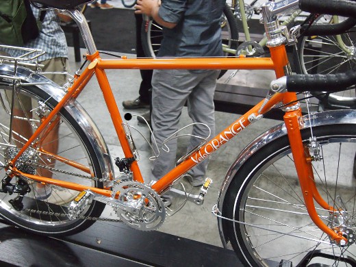
The new VO frame, the Camargue fresh off the boat for Interbike 2013. I’m afraid this bike might be pretty dang close. Made at the same factory as Surly and Rivendell.

picture of bike
Great color on this touring bike!
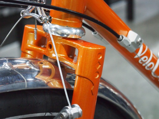
fork crown pic
I’m a sucker for the bi-plane fork
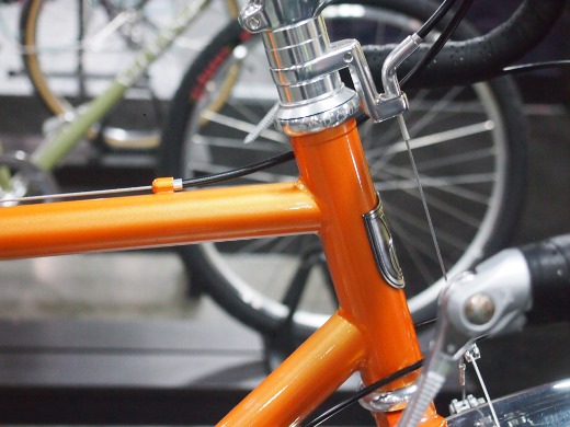
pic of head tube
Extended head tube
IG hub
Single ring and IG hub option
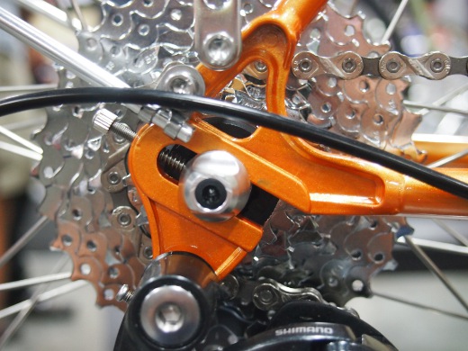
Dropout VO Camargue
Semi horizontal drop out